Elevation of 5 S 3rd St, Mason, WV, USA
Location: United States > West Virginia > Mason County > Waggener > Mason >
Longitude: -82.0328169
Latitude: 39.0180159
Elevation: 177m / 581feet
Barometric Pressure: 0KPa
Related Photos:

I love that moment of orange in the sky as the sun starts to rise. My view this morning from the sunroom.

Malaysian Serama
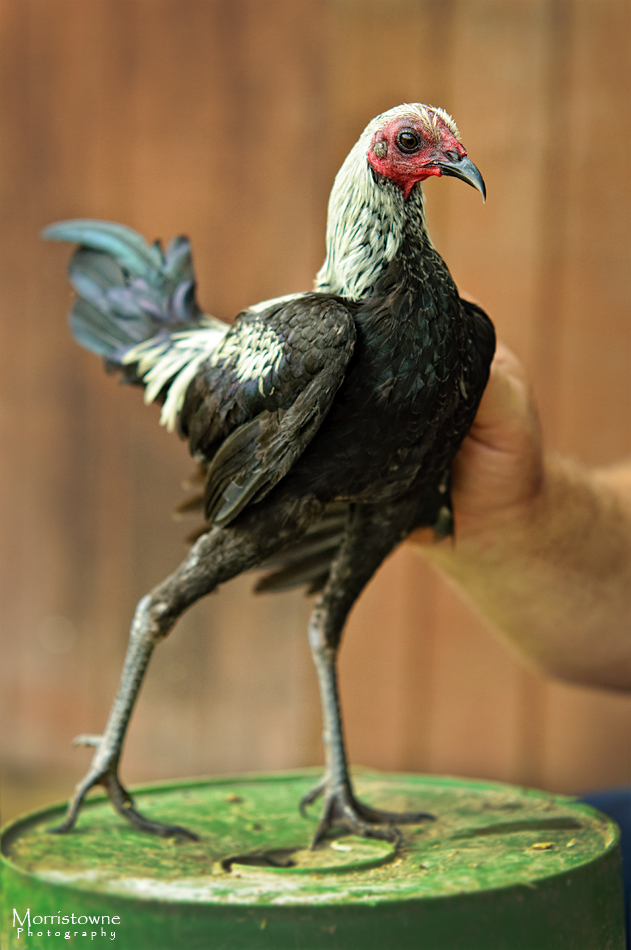
Modern Game Bantam
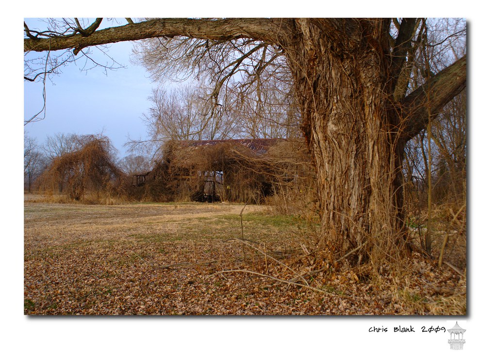
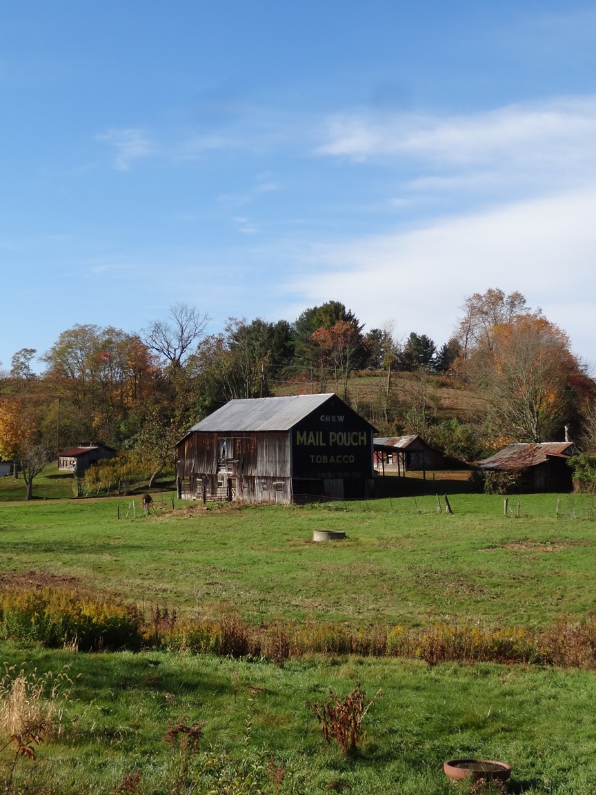
An old barn in Cheshire Ohio
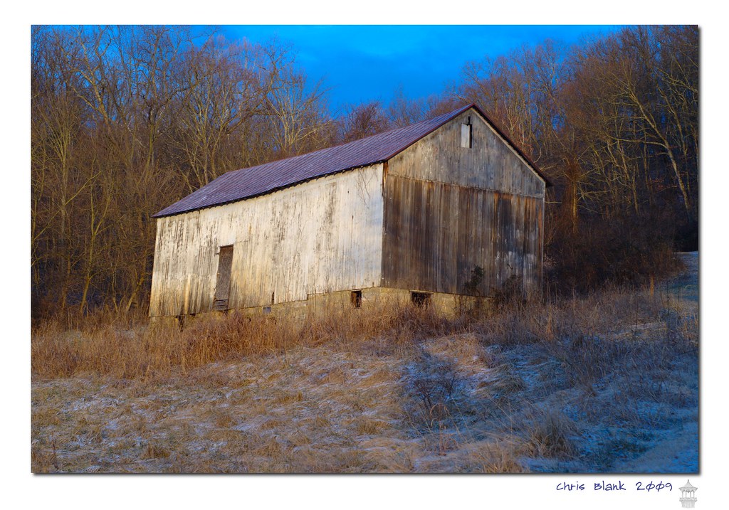
Syracuse Barn

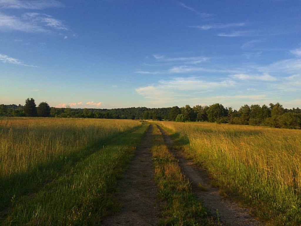
Green and Gold

Trying to take short walks to build myself back up. #recovery #healthy #sunset

#ohioriver #newhaven #wv #river #sky #skyporn #sunset #cloud #cloudporn

Tonight's #sunset

Beautiful #sunset ... #ohioriver #wv #newhaven #sun #skyporn

Racing against the dark. But what a gorgeous #sunset

McClintic Wildlife Management Area
#steps #health #everystepcounts

Sacred Hearts Church by Drone

#ohioriver #river #sun #sunset

Sitting here waiting for my oil to be changed and drinking my coffee...
Leading Creek Water Trail

Daddy and I are having a cup of coffee and watching the river flow by.

Good morning #bambi! #deer #almostroadkill

Lillies, Lillies, Lillies
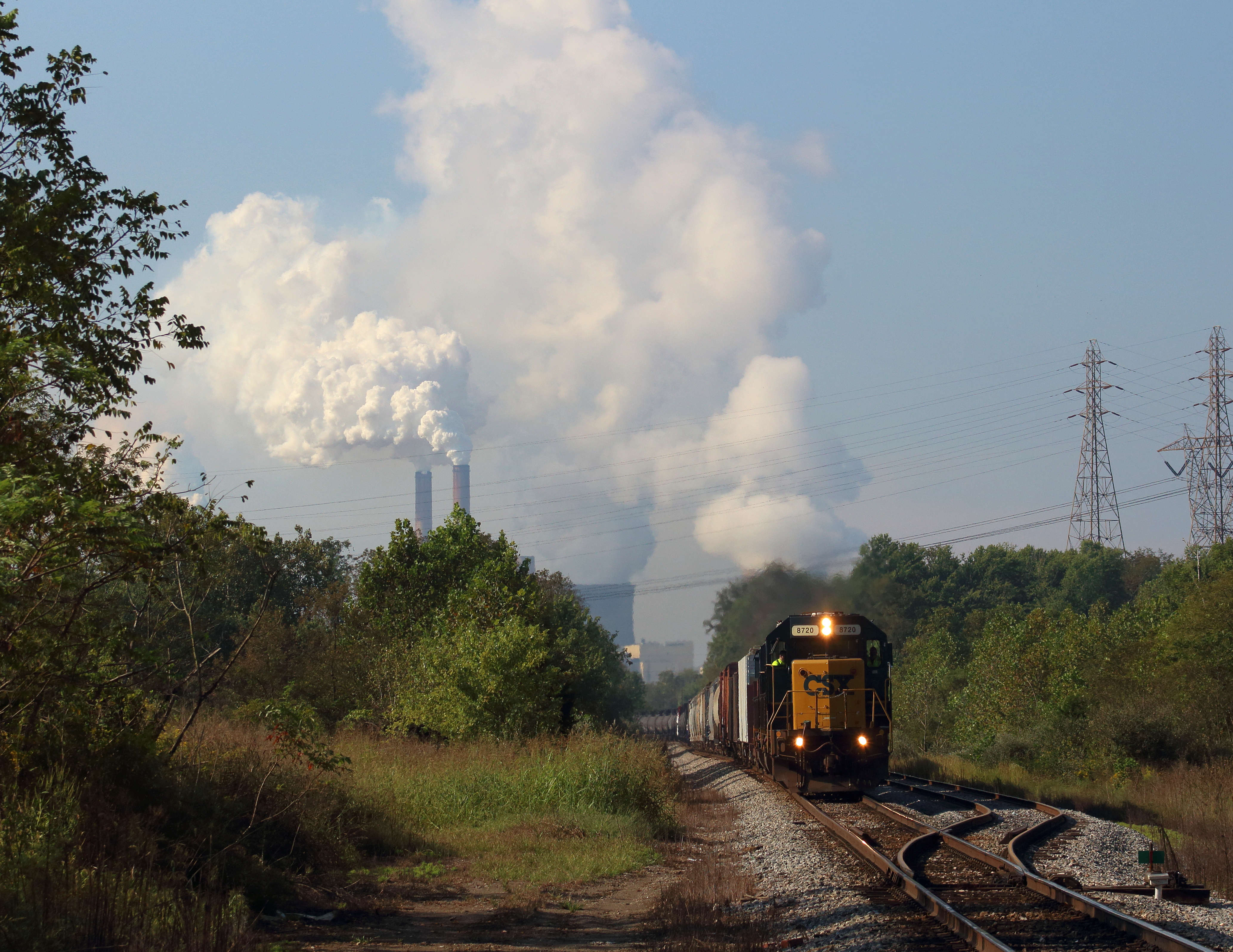
Steam over Diesel

Pomeroy-Mason Bridge

Pomeroy, Ohio
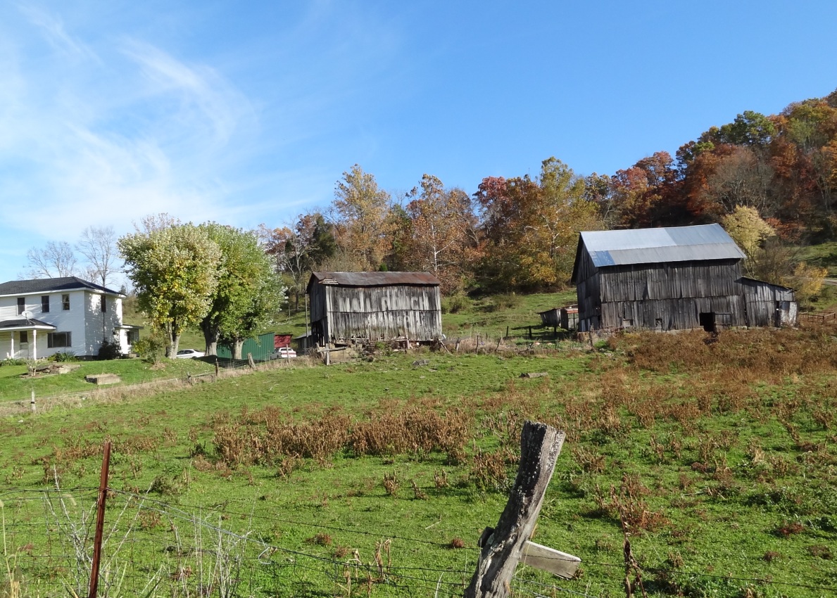
MPB 35-53-02, Meigs County, Ohio
MPB 35-53-02, Meigs County, Ohio
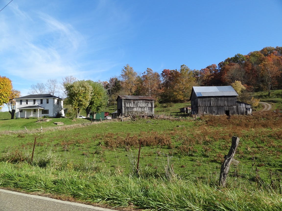
MPB 35-53-01, Meigs County, Ohio
Topographic Map of 5 S 3rd St, Mason, WV, USA
Find elevation by address:

Places near 5 S 3rd St, Mason, WV, USA:
Mason
West Main Street
Middleport
181 Beech St
Waggener
Tug Dr, West Columbia, WV, USA
2732 Gun Club Rd
Graham
Cheshire
OH-7, Cheshire, OH, USA
Robinson
303 3rd St
Racine
309 5th St
Cheshire Township
527 Grover Rd
185 Aberdene Ln
Letart
750 Lewis Ln
409 Lewis Ln
Recent Searches:
- Elevation of Pasing, Munich, Bavaria, 81241, Germany
- Elevation of 24, Auburn Bay Crescent SE, Auburn Bay, Calgary, Alberta, T3M 0A6, Canada
- Elevation of Denver, 2314, Arapahoe Street, Five Points, Denver, Colorado, 80205, USA
- Elevation of Community of the Beatitudes, 2924, West 43rd Avenue, Sunnyside, Denver, Colorado, 80211, USA
- Elevation map of Litang County, Sichuan, China
- Elevation map of Madoi County, Qinghai, China
- Elevation of 3314, Ohio State Route 114, Payne, Paulding County, Ohio, 45880, USA
- Elevation of Sarahills Drive, Saratoga, Santa Clara County, California, 95070, USA
- Elevation of Town of Bombay, Franklin County, New York, USA
- Elevation of 9, Convent Lane, Center Moriches, Suffolk County, New York, 11934, USA
- Elevation of Saint Angelas Convent, 9, Convent Lane, Center Moriches, Suffolk County, New York, 11934, USA
- Elevation of 131st Street Southwest, Mukilteo, Snohomish County, Washington, 98275, USA
- Elevation of 304, Harrison Road, Naples, Cumberland County, Maine, 04055, USA
- Elevation of 2362, Timber Ridge Road, Harrisburg, Cabarrus County, North Carolina, 28075, USA
- Elevation of Ridge Road, Marshalltown, Marshall County, Iowa, 50158, USA
- Elevation of 2459, Misty Shadows Drive, Pigeon Forge, Sevier County, Tennessee, 37862, USA
- Elevation of 8043, Brightwater Way, Spring Hill, Williamson County, Tennessee, 37179, USA
- Elevation of Starkweather Road, San Luis, Costilla County, Colorado, 81152, USA
- Elevation of 5277, Woodside Drive, Baton Rouge, East Baton Rouge Parish, Louisiana, 70808, USA
- Elevation of 1139, Curtin Street, Shepherd Park Plaza, Houston, Harris County, Texas, 77018, USA