Elevation of Cheshire, OH, USA
Location: United States > Ohio > Gallia County > Cheshire Township >
Longitude: -82.111255
Latitude: 38.9448013
Elevation: 174m / 571feet
Barometric Pressure: 99KPa
Elevation Map:
Satellite Map:
Related Photos:

I love that moment of orange in the sky as the sun starts to rise. My view this morning from the sunroom.
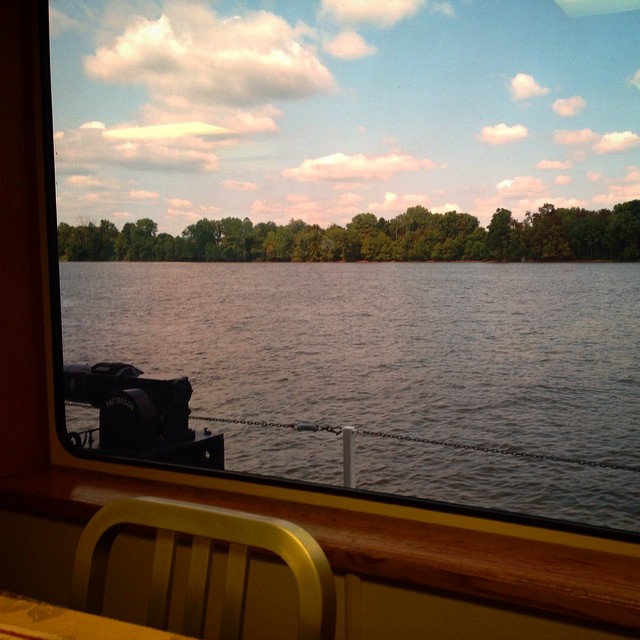
Had lunch with a view! #galley #boat #lovemyjob
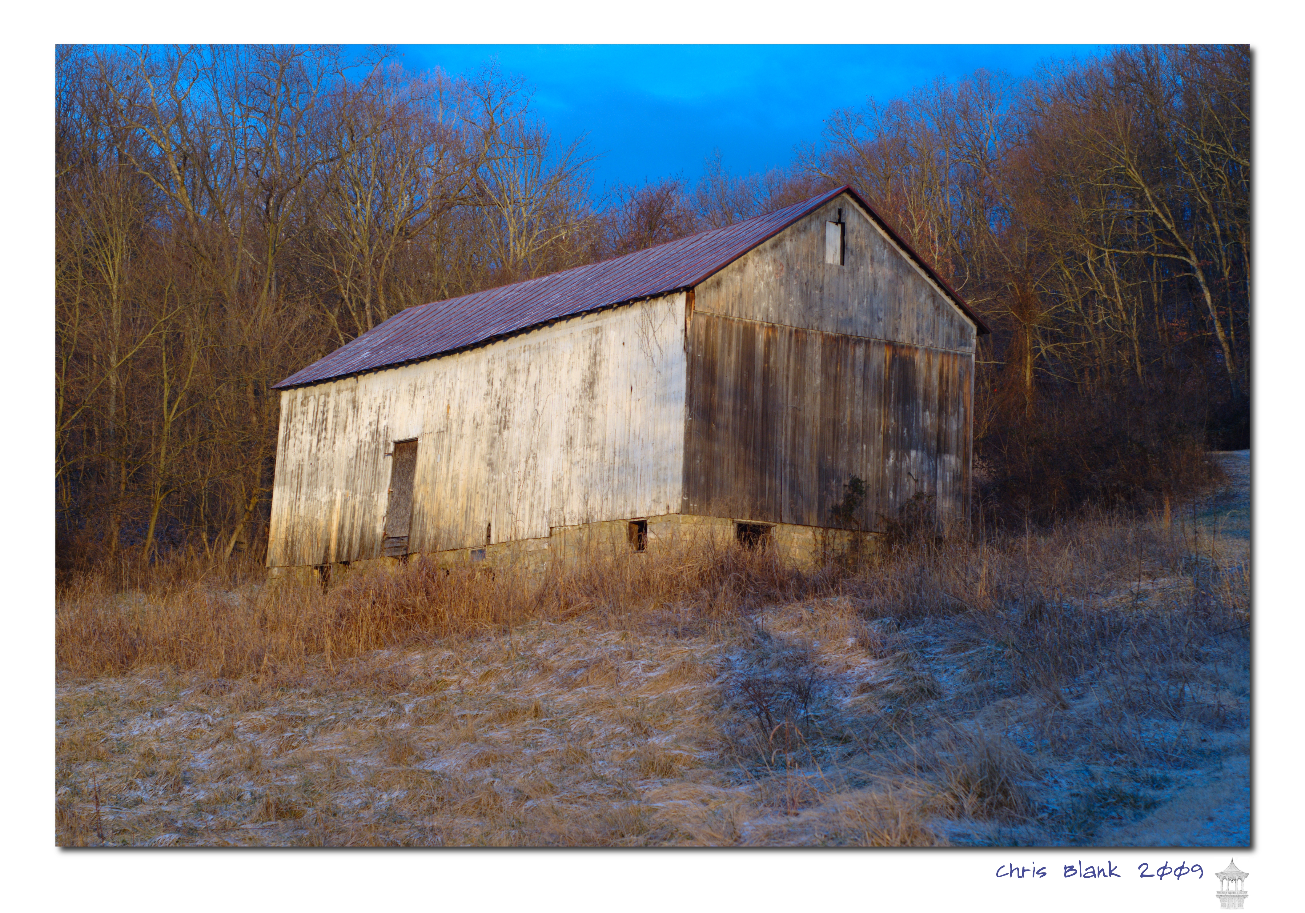
Syracuse Barn
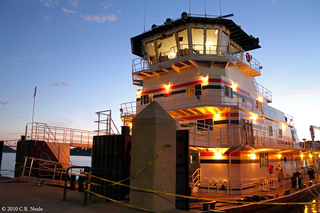
Mountain State
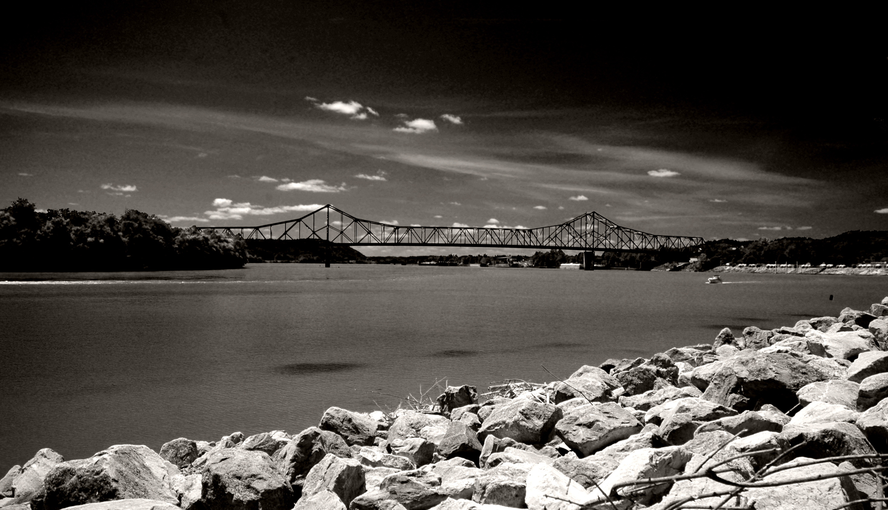
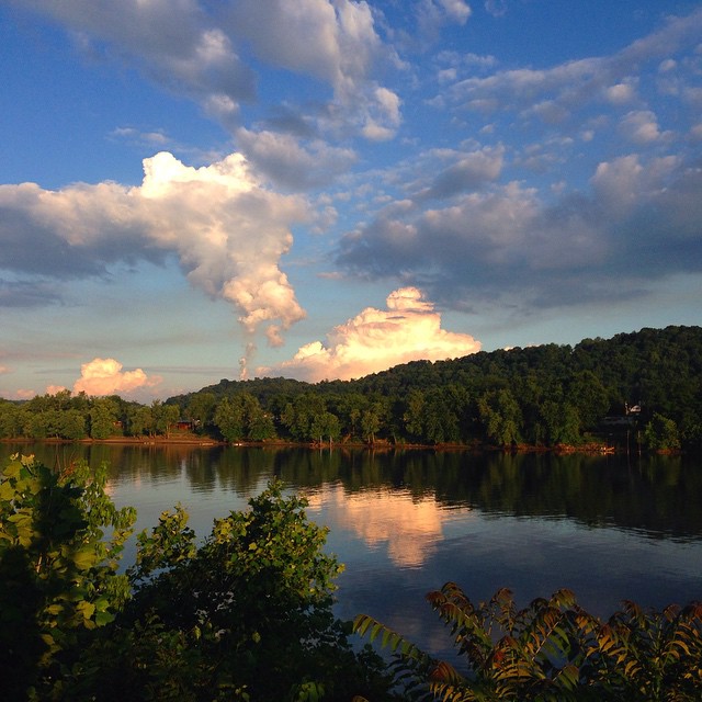
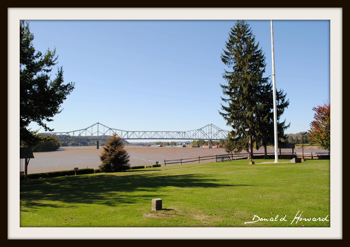
Ohio River from Tu-Endie-Wei State Park
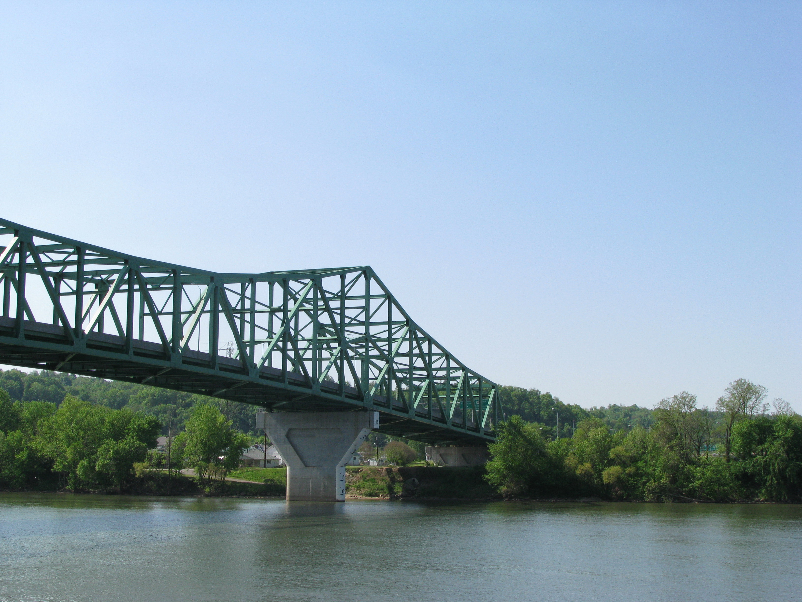
Point Pleasant's less famous bridge
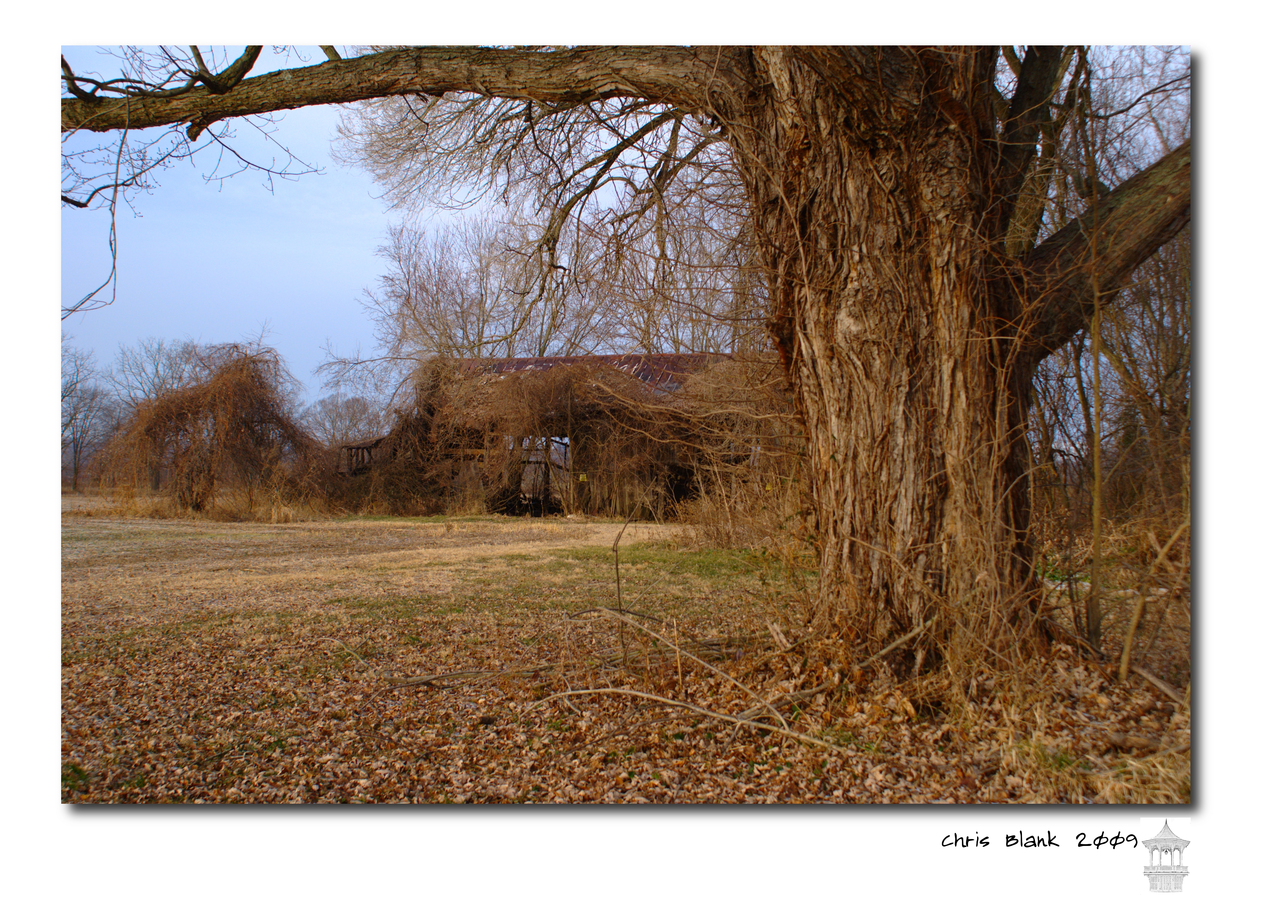
An old barn in Cheshire Ohio
Pomeroy, OH 5
100-2255
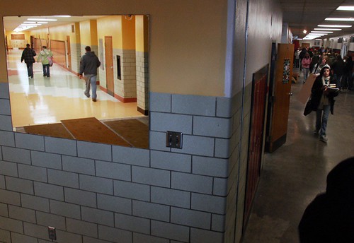
New wing at Point Pleasant HS
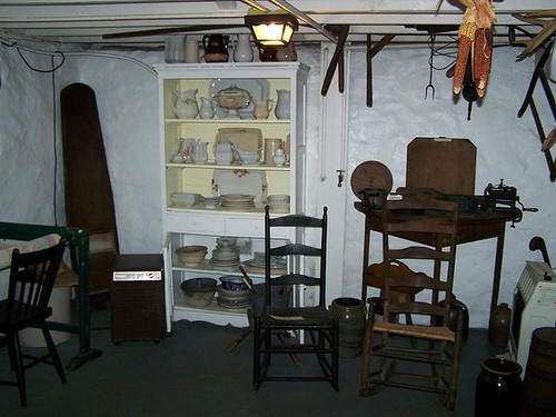
Basement Kitchen

Igloo Sky Glow
Views like this makes #exercise a little easier. #healthy #run #walk #justdoit
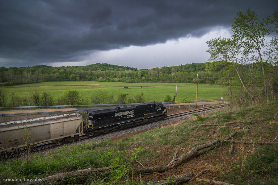
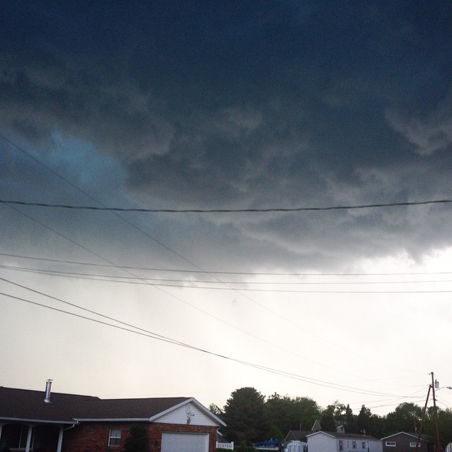
Norfolk Southern Into the Storm
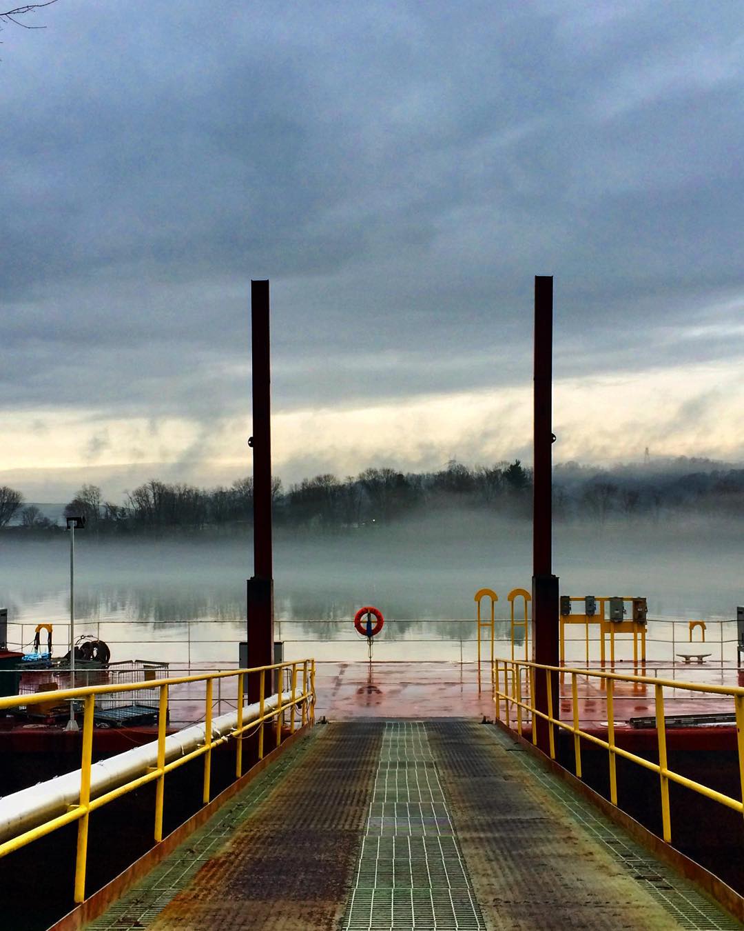
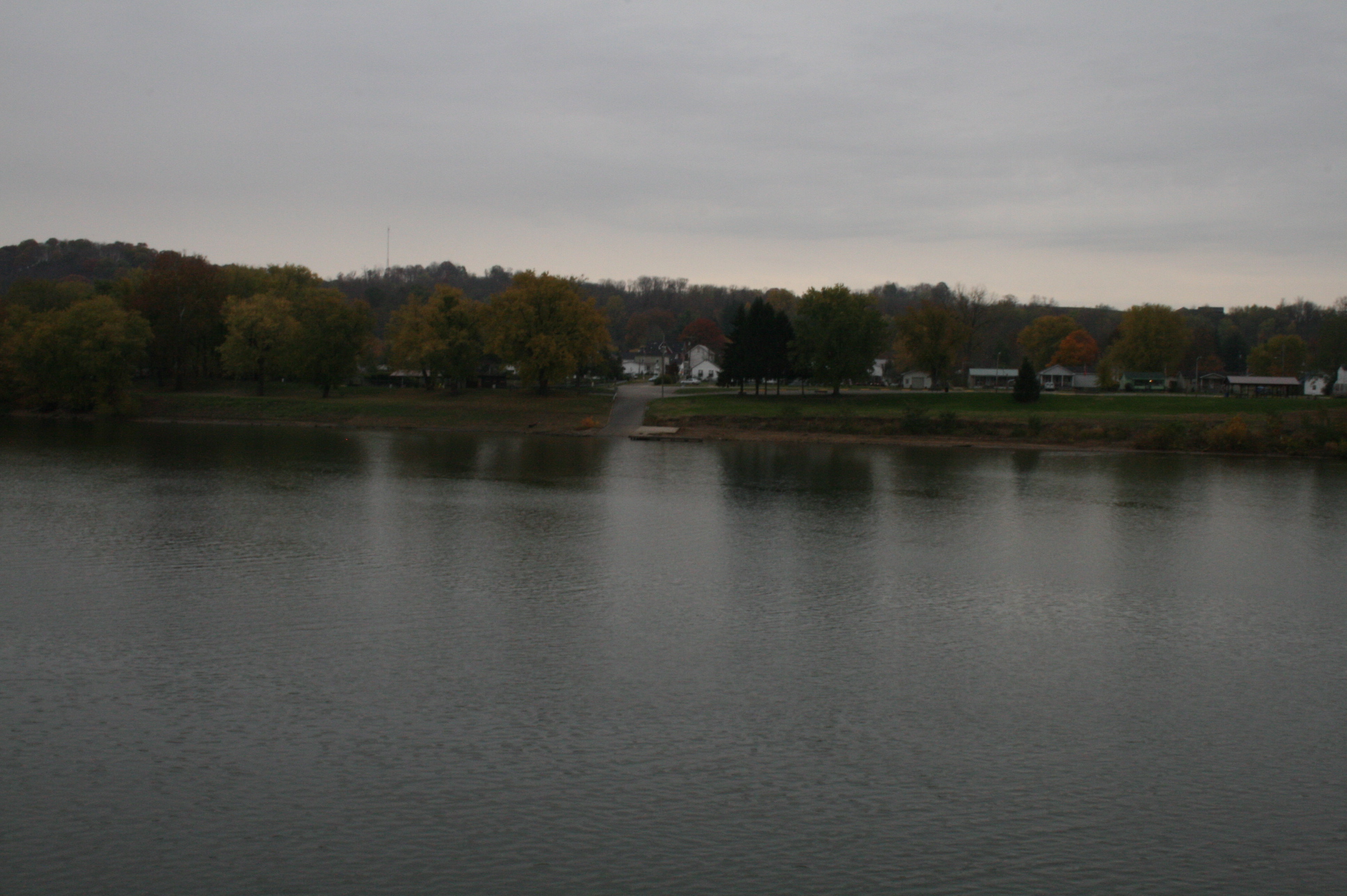
#fog #Ohio #river #OhioRiver

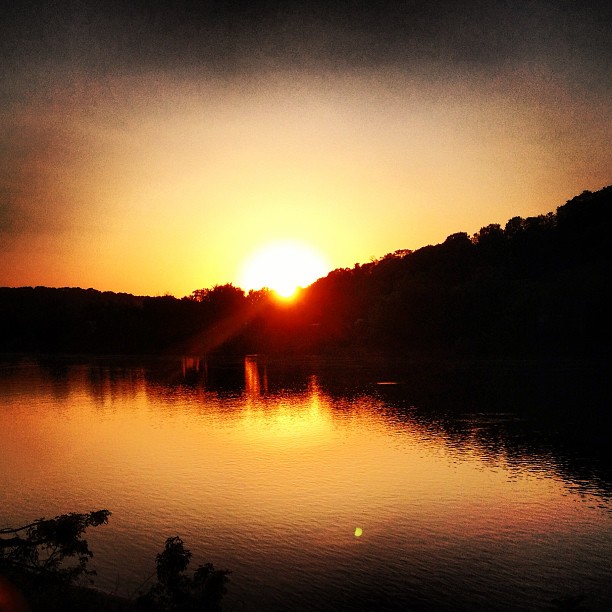
Tonight's #sunset

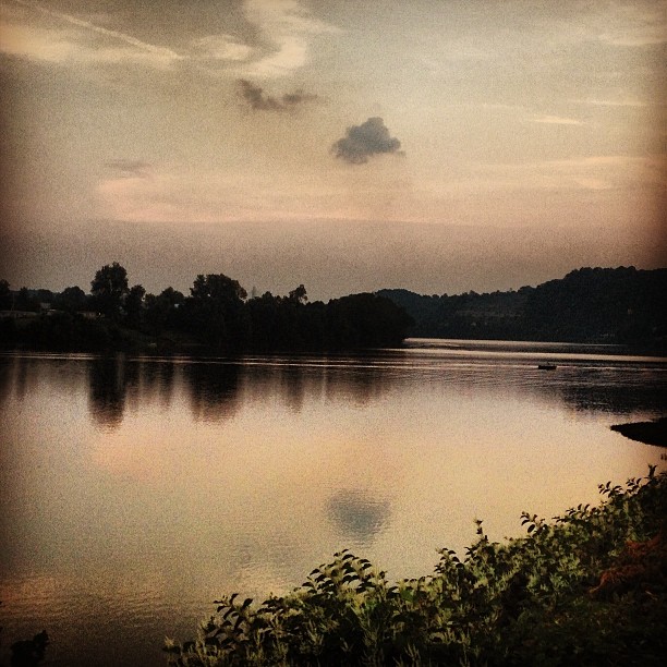
Beautiful #sunset ... #ohioriver #wv #newhaven #sun #skyporn

#ohioriver #newhaven #wv #river #sky #skyporn #sunset #cloud #cloudporn

#sky #cloud #sunbeam

What a beautiful #sunrise
What happened to the pretty white fluffy clouds?!?
Picture 1241
Sitting here waiting for my oil to be changed and drinking my coffee...
#ohioriver #river #sun #sunset
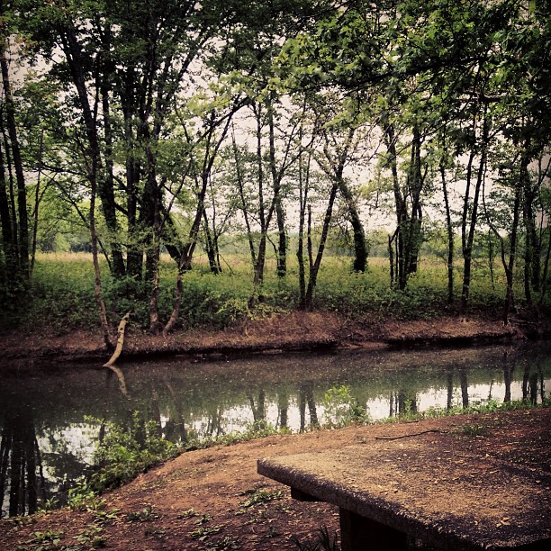
Leading Creek Water Trail
Evening walk with Daddy
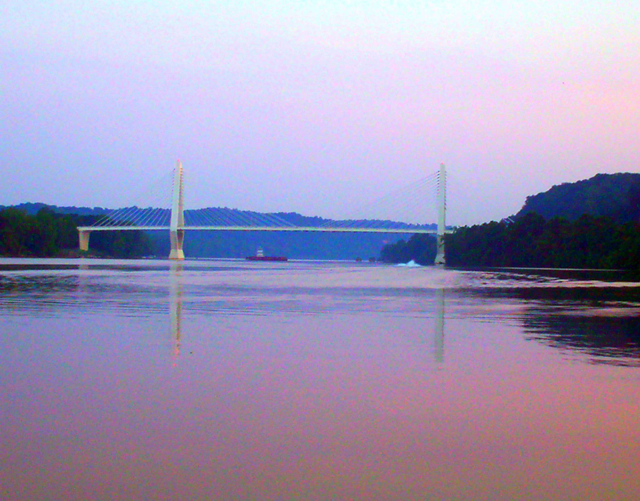
Pomeroy-Mason Bridge

Daddy and I are having a cup of coffee and watching the river flow by.
Point Pleasant, WV Panorama
Pomeroy, Ohio
Kanawha River from Tu-Endie-Wei State Park

Natural and man made clouds

#fog #Ohio #river #OhioRiver
Topographic Map of Cheshire, OH, USA
Find elevation by address:

Places in Cheshire, OH, USA:
Places near Cheshire, OH, USA:
OH-7, Cheshire, OH, USA
Tug Dr, West Columbia, WV, USA
527 Grover Rd
Cheshire Township
Robinson
750 Lewis Ln
409 Lewis Ln
181 Beech St
185 Aberdene Ln
Middleport
Waggener
Lewis
51 Kelley Dr, Gallipolis, OH, USA
West Main Street
5 S 3rd St
Addison Township
Mason
Coy Hill Cemetery
Graham
2732 Gun Club Rd
Recent Searches:
- Elevation of Corso Fratelli Cairoli, 35, Macerata MC, Italy
- Elevation of Tallevast Rd, Sarasota, FL, USA
- Elevation of 4th St E, Sonoma, CA, USA
- Elevation of Black Hollow Rd, Pennsdale, PA, USA
- Elevation of Oakland Ave, Williamsport, PA, USA
- Elevation of Pedrógão Grande, Portugal
- Elevation of Klee Dr, Martinsburg, WV, USA
- Elevation of Via Roma, Pieranica CR, Italy
- Elevation of Tavkvetili Mountain, Georgia
- Elevation of Hartfords Bluff Cir, Mt Pleasant, SC, USA