Elevation of Lerdo Hwy, McKittrick, CA, USA

Location: United States > California > Kern County > Mckittrick >

Longitude: -119.67135

Latitude: 35.4987907

Elevation: 113m / 371feet

Barometric Pressure: 100KPa

Elevation Map:

elevation map of Lerdo Hwy, McKittrick, CA, USA

Satellite Map:

Satellite map of Lerdo Hwy, McKittrick, CA, USA

Related Photos:

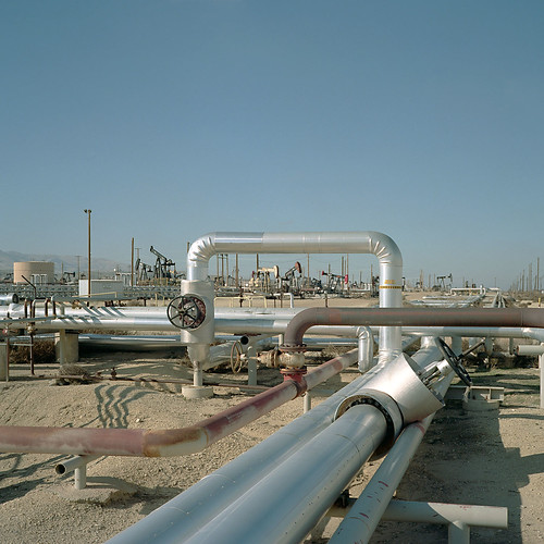
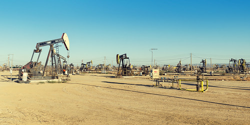
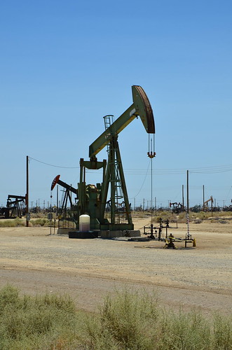
eyetwistkevinballuff mamiya 6mf 75mm f35l kodak portra 160nc color negative c41 ishootfilm analog analogue film emulsion mamiya6 mamiya6mf square 6x6 mediumformat 120 primes portra160nc cymricoilfield petroleum oil energy pipes piping industry infrastructure california centralvalley therewillbeblood shiny pipeline drilling derrick pumping mamiya75mmf35l kodakportra160nc colornegativec41 ai aihollywood aicolor recentlyprocessedfilm epsonv750pro filmtagger petroleumhighway ishootkodak eyetwist getty well pumpjack rig field roadside america americana usa road roadtrip 6 kern county newtopographics
cymric oil field. mckittrick, ca. 2011.
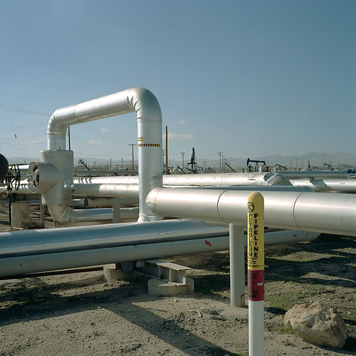
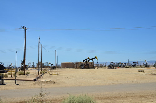
eyetwistkevinballuff mamiya 6mf 75mm f35l kodak portra 160nc color negative c41 ishootfilm analog analogue film emulsion mamiya6 mamiya6mf square 6x6 mediumformat 120 primes portra160nc mckittric petroleum oil energy pipes piping industry infrastructure california centralvalley therewillbeblood shiny pipeline drilling derrick pumping mamiya75mmf35l kodakportra160nc colornegativec41 ai aihollywood aicolor recentlyprocessedfilm epsonv750pro filmtagger petroleumhighway ishootkodak eyetwist getty well pumpjack rig field roadside america americana usa road roadtrip 6 kern county newtopographics
cymric oil field. mckittrick, ca. 2011.
buttonwillow california unitedstatesofamerica ca millvalley redwood nationalmonument nps
Muir Woods National Monument Road Trip
buttonwillow california unitedstatesofamerica ca millvalley redwood nationalmonument nps
Muir Woods National Monument Road Trip
california restaurant driving jr carls losthills
Carlsbad Caverns 0185
california usa losthills
i5 views
california usa losthills
i5 views
california usa losthills
i5 views
california usa spicercity
i5 views
california usa spicercity
i5 views
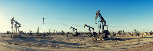
eyetwistkevinballuff eyetwist oil oilfield industrial landscape missouritriangle kerncounty pumpjacks california nikkor nikon d7000 18200mmf3556gvrii 18200mm photoshop plugin processed nikcolorefex saturated pumpjack derrick petroleum sunset industry energy blackgold south belridge field 7thstandard road dirt dry arid summer roadside america americana typologies kern county production producing crude barren wasteland ca33 mckittrick taft brownmaterial gasoline gas pano panorama desert
black gold. missouri triangle, ca. 2013.
california road sunset summer industry field america photoshop saturated nikon energy dry kern dirt oil americana plugin roadside derrick nikkor processed arid oilfield petroleum pumpjack blackgold belridge kerncounty pumpjacks eyetwist nikcolorefex typologies missouritriangle d7000 7thstandard eyetwistkevinballuff 18200mmf3556gvrii county production crude producing landscape industrial south barren wasteland ca33 taft mckittrick brownmaterial gasoline gas panorama pano 18200mm desert
there will be blood. missouri triangle, ca. 2013.
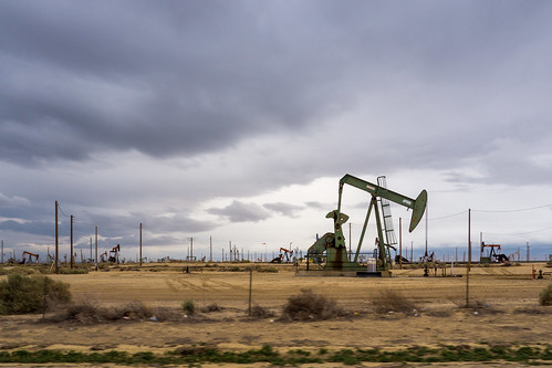
california vacation usa holiday day unitedstates cloudy familyvacation mckittrick 2014california 2014springvacation oilpumpingrig
Lost Hills oil rig
california nikon dinosaur srp oil rockinghorse oilfield noddingdonkey pumpjack losthills pumpingunit beampump jackpump thirstybird losthillsoilfield grasshopperpump horseheadpump d7000 suckerrodpump
Lost Hills
california nikon dinosaur srp oil rockinghorse oilfield noddingdonkey pumpjack losthills pumpingunit beampump jackpump thirstybird losthillsoilfield grasshopperpump horseheadpump d7000 suckerrodpump
Lost Hills
california nikon oil drill oilfield losthills losthillsoilfield d7000
Lost Hills
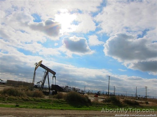
california usa unitedstates roadtrip kerncounty pasorobleshighway aboutmytripdotcom
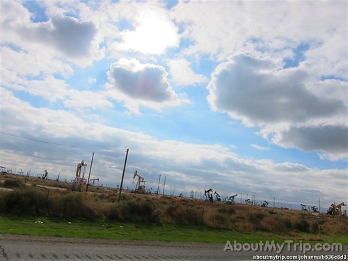
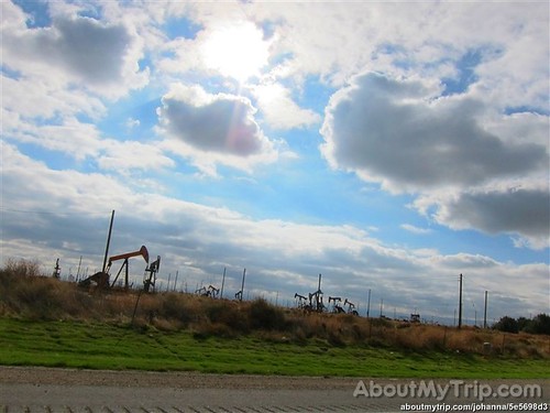
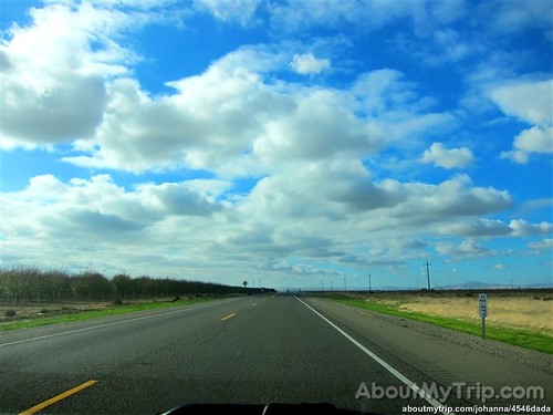
California, Kern County
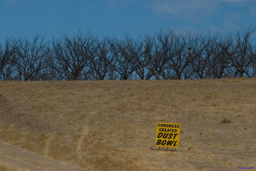
california dead dry orchard dustbowl sanjoaquinvalley
Dead Orchard
square nashville squareformat iphoneography instagramapp uploaded:by=instagram foursquare:venue=4ee031bb6da1d9fae2ef492f
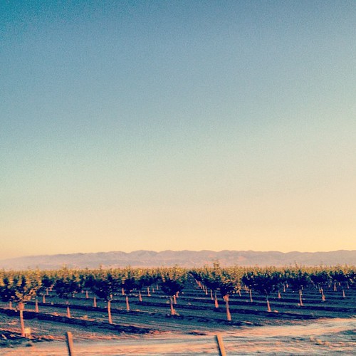
Magic hour orchards
california usa unitedstates roadtrip kerncounty pasorobleshighway aboutmytripdotcom
California, Kern County
square squareformat aden iphoneography instagramapp uploaded:by=instagram
#美國 #美利堅合眾國 #米国 #USA #US ???????????????????????????? #America
california usa unitedstates roadtrip kerncounty pasorobleshighway aboutmytripdotcom
California, Kern County
california usa unitedstates roadtrip kerncounty pasorobleshighway aboutmytripdotcom
California, Kern County
square squareformat iphoneography instagramapp uploaded:by=instagram
#sunrise #ricohgr
dirtroad hoopty
junjul2009 009
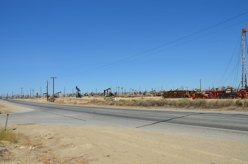
Oil fields west of I-5
california usa unitedstates roadtrip kerncounty pasorobleshighway aboutmytripdotcom
California, Kern County
square squareformat iphoneography instagramapp xproii uploaded:by=instagram foursquare:venue=4d0d84857d28721e8a8cf920
This is all I see for miles.
junjul2009 010