Elevation of Leon, WV, USA

Location: United States > West Virginia > Mason County > Cologne >

Longitude: -81.960693

Latitude: 38.7506394

Elevation: 173m / 568feet

Barometric Pressure: 99KPa

Elevation Map:

elevation map of Leon, WV, USA

Satellite Map:

Satellite map of Leon, WV, USA

Related Photos:

westvirginia barn mailpouch advertisement masoncounty agriculture us35
West Virginia, Mason County, Mail Pouch
barn advertisement mailpouch tobacco westvirginia masoncounty us35
West Virginia, Mason County, Mail Pouch
barn advertisement mailpouch tobacco westvirginia masoncounty us35
West Virginia, Mason County, Mail Pouch
2013 20131218 alleghenyplateau alleghenyplateaulandscape alleghenyplateauriver bigbuzzardroad countyroad64 december december2013 gallipolispointpleasant img4961 kanawhariverwatershed masoncounty masoncountywestvirginia masoncountylandscape ohioriverwatershed pointpleasantgallipolis thirteenmilecreek westvirginia westvirginialandscape countrylandscape creek creekbanks creeklandscape electricline forest landscape muddywater overheadelectricline overheadpowerline powerline riparianarea river riverlandscape riverbanks riverinelandscape rurallandscape stream streamlandscape streambanks sunny sunnylandscape turbidwater turbidity view viewfromabridge westernwestvirginia winterlandscape woodedriverbanks woodedstreambanks woodland woods leon unitedstates
Remember me to the people of the Allegheny Plateau. Recall that I was here taking pictures of the region's small rivers on sunny winter days.
westvirginia barn mailpouch advertisement masoncounty agriculture us35
West Virginia, Mason County, Mail Pouch
2013 20131218 alleghenyplateau alleghenyplateaulandscape alleghenyplateauriver bethelridgeblacklickroad charlestonmetropolitanarea charlestonhuntington countyroad6 december december2013 eighteenmilecreek huntingtonmetropolitanarea huntingtoncharleston img4936 kanawhariverwatershed ohioriverwatershed putnamcounty putnamcountywestvirginia putnamcountylandscape westvirginia westvirginialandscape barn countrylandscape creek creekbanks creeklandscape mostlysunny muddywater riparianarea riparianzone river riverlandscape riverbanks rurallandscape smallriver stream streamlandscape streambanks sunnylandscape turbidwater turbidity view viewfromabridge westernwestvirginia winterlandscape woodedriverbank woodedstreambanks leon unitedstates
One look and you'll know why it's called Eighteenmile Creek.
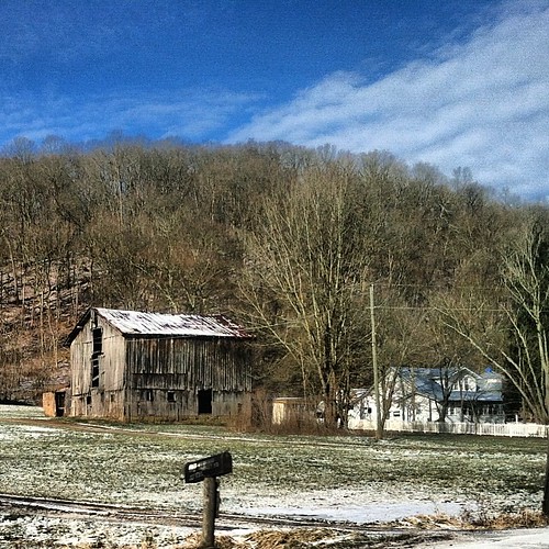
square sierra squareformat iphoneography instagramapp uploaded:by=instagram
Gray day, view of cousin Meredith's house.
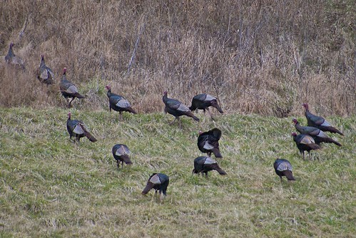
birds animals turkey wildturkey gallopavo taxonomy:binomial=meleagrisgallopavo
Tom meet Tom, and over here.. Tom.
county westvirginia countysign
Mason Co., WV
square squareformat iphoneography instagramapp uploaded:by=instagram foursquare:venue=4c65795e9cb82d7f34dd8dd2
Scenes of America #WestVirginia #Winter #beautiful #landscape
desktop wallpaper nature wv putnam putnamco putnamcowv
putnam co 1