Elevation of Charleston Rd, Leon, WV, USA
Location: United States > West Virginia > Mason County > Cologne > Leon >
Longitude: -81.948808
Latitude: 38.687492
Elevation: 179m / 587feet
Barometric Pressure: 99KPa
Elevation Map:
Satellite Map:
Related Photos:

West Virginia, Mason County, Mail Pouch

Remember me to the people of the Allegheny Plateau. Recall that I was here taking pictures of the region's small rivers on sunny winter days.
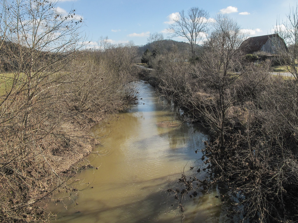
One look and you'll know why it's called Eighteenmile Creek.

West Virginia, Mason County, Mail Pouch

West Virginia, Mason County, Mail Pouch

West Virginia, Mason County, Mail Pouch

View from the cemetery

Gray day, view of cousin Meredith's house.

My view from laying out in the yard.. As usual... Lol..☀️

Tom meet Tom, and over here.. Tom.

New US 35 near WV 869 Buffalo Bridge

It's pretty where I work! Vol2

putnam co 1

4 12 Hell's Delight

Scenes of America #WestVirginia #Winter #beautiful #landscape
Topographic Map of Charleston Rd, Leon, WV, USA
Find elevation by address:

Places near Charleston Rd, Leon, WV, USA:
Calispel Ridge Road
Southside
Leon
704 Woyan Mountain Rd
Mason County
Cologne
244 Hale Ln
Debbie Road
10374 Crab Creek Rd
Clendenin
1247 Wood School Rd
Henderson
Point Pleasant
57 Henrys Rd, Gallipolis Ferry, WV, USA
Gallipolis Ferry
Eastern Ave, Gallipolis, OH, USA
Middleton Estates
Gallipolis
Gallipolis Township
Mound Hill Cemetery
Recent Searches:
- Elevation of Corso Fratelli Cairoli, 35, Macerata MC, Italy
- Elevation of Tallevast Rd, Sarasota, FL, USA
- Elevation of 4th St E, Sonoma, CA, USA
- Elevation of Black Hollow Rd, Pennsdale, PA, USA
- Elevation of Oakland Ave, Williamsport, PA, USA
- Elevation of Pedrógão Grande, Portugal
- Elevation of Klee Dr, Martinsburg, WV, USA
- Elevation of Via Roma, Pieranica CR, Italy
- Elevation of Tavkvetili Mountain, Georgia
- Elevation of Hartfords Bluff Cir, Mt Pleasant, SC, USA