Elevation of Henderson, WV, USA
Location: United States > West Virginia > Mason County > Clendenin >
Longitude: -82.1382
Latitude: 38.833692
Elevation: 172m / 564feet
Barometric Pressure: 99KPa
Elevation Map:
Satellite Map:
Related Photos:

Mountain State
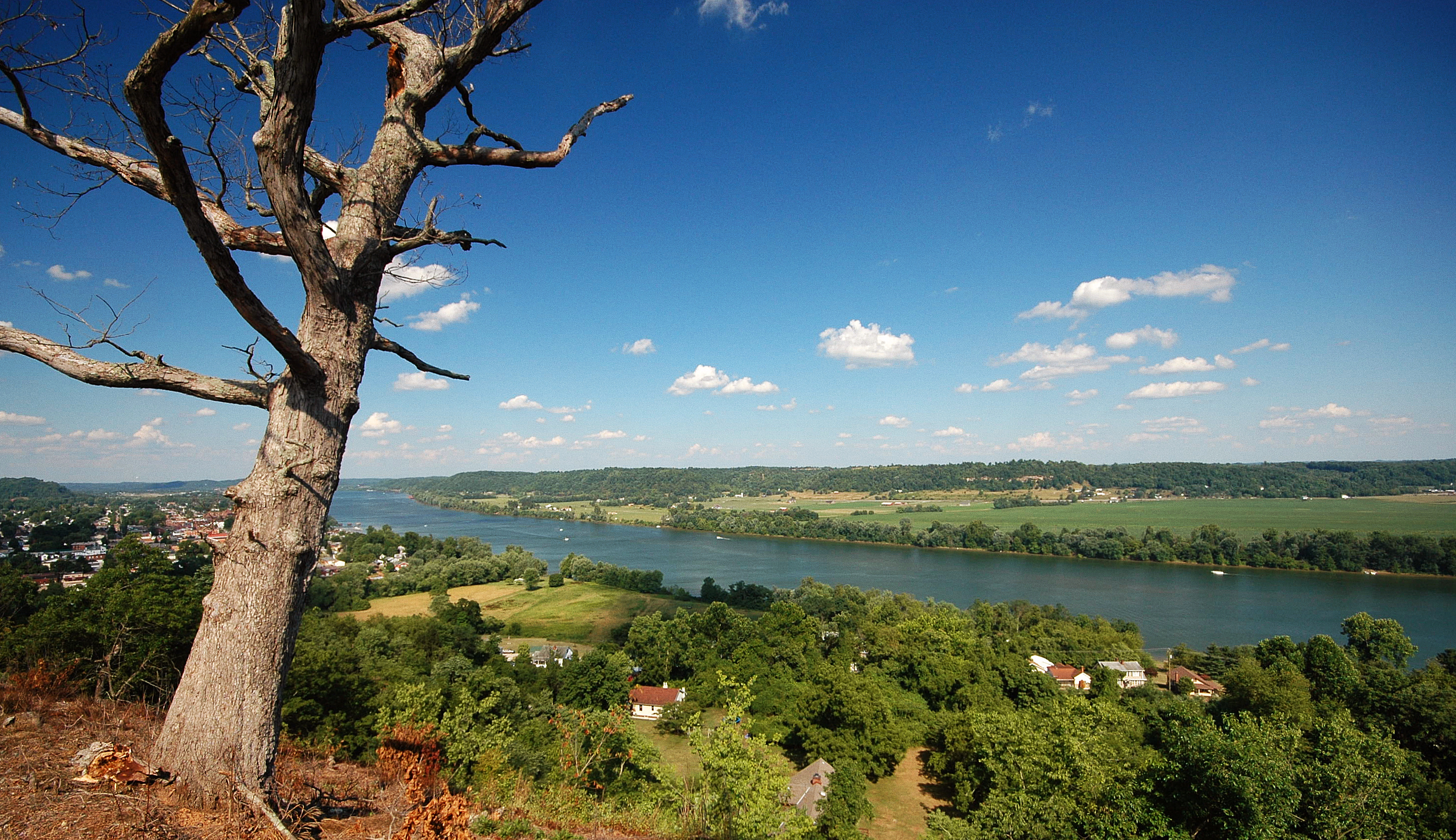
Ohio River from Tu-Endie-Wei State Park
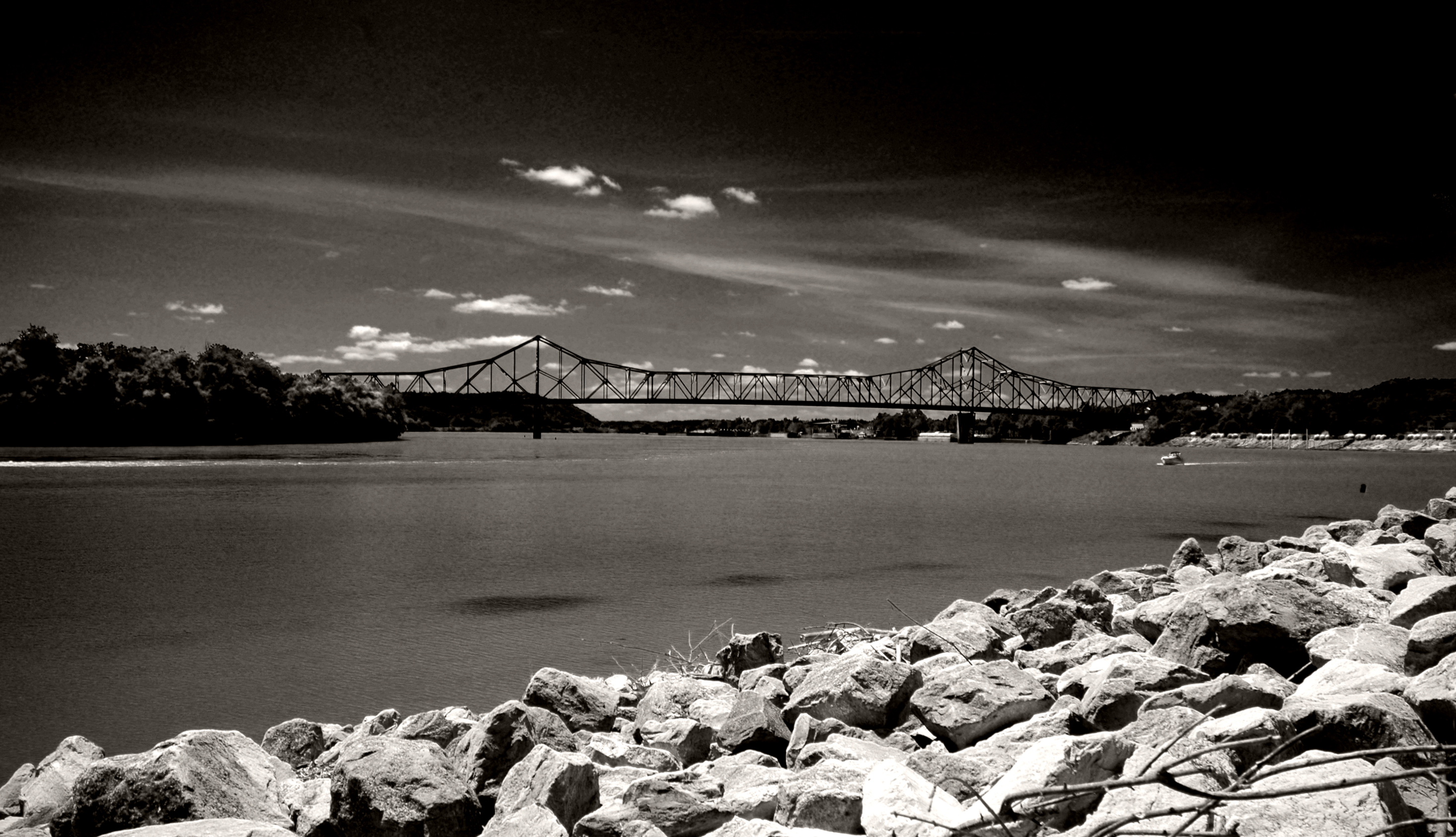
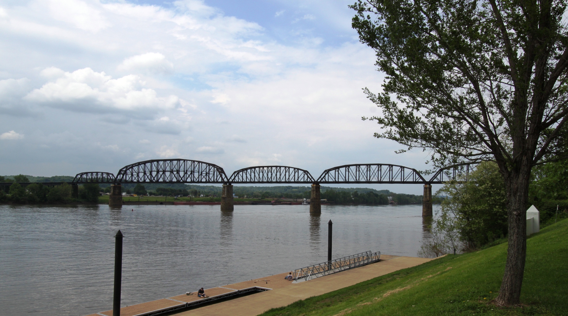
Point Pleasant's less famous bridge
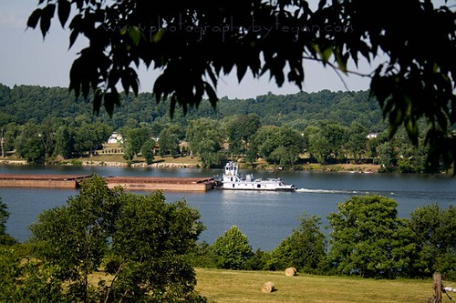
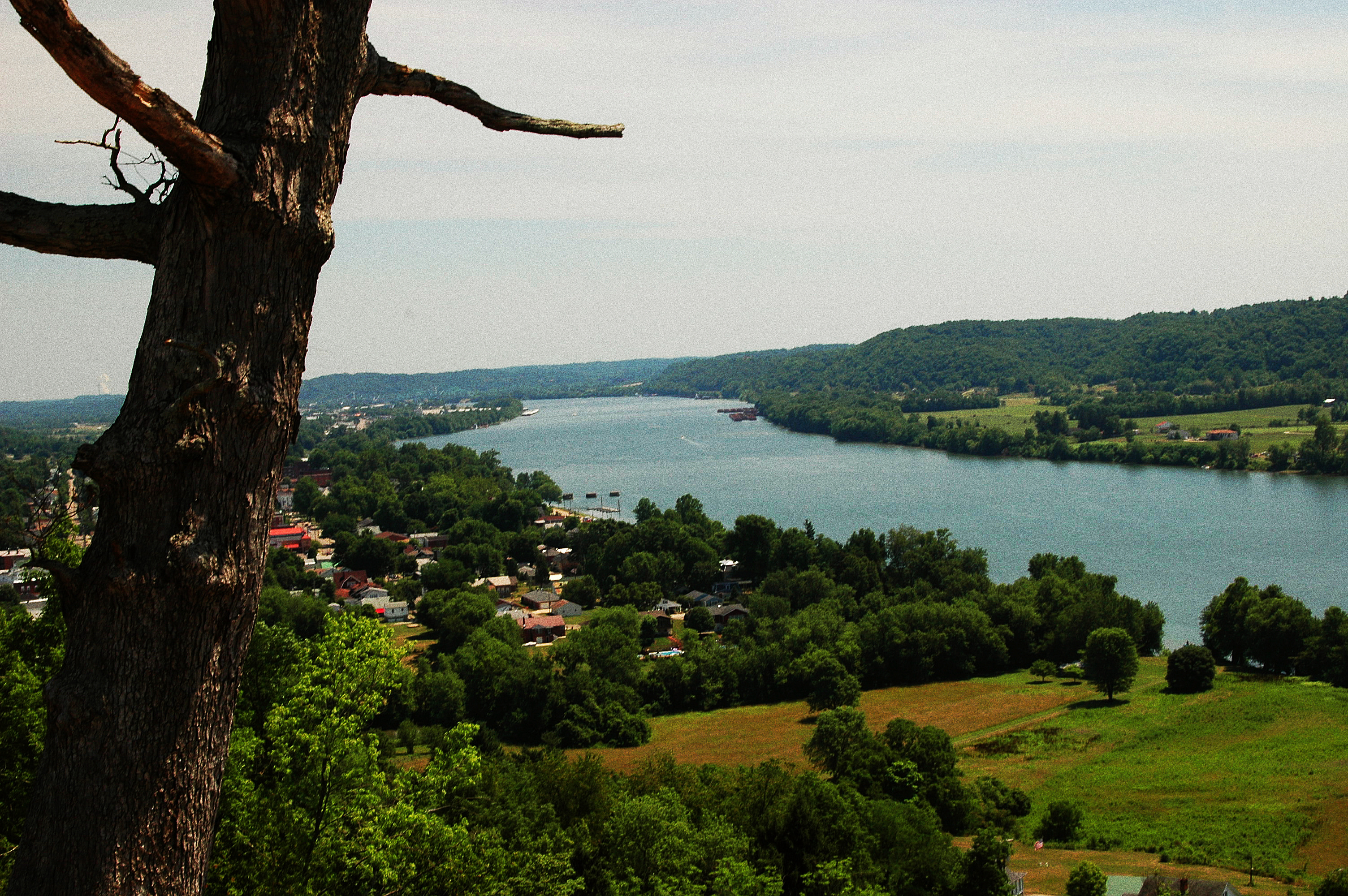
Ohio River near Fortification Hill - Gallipolis Ohio
100-2255
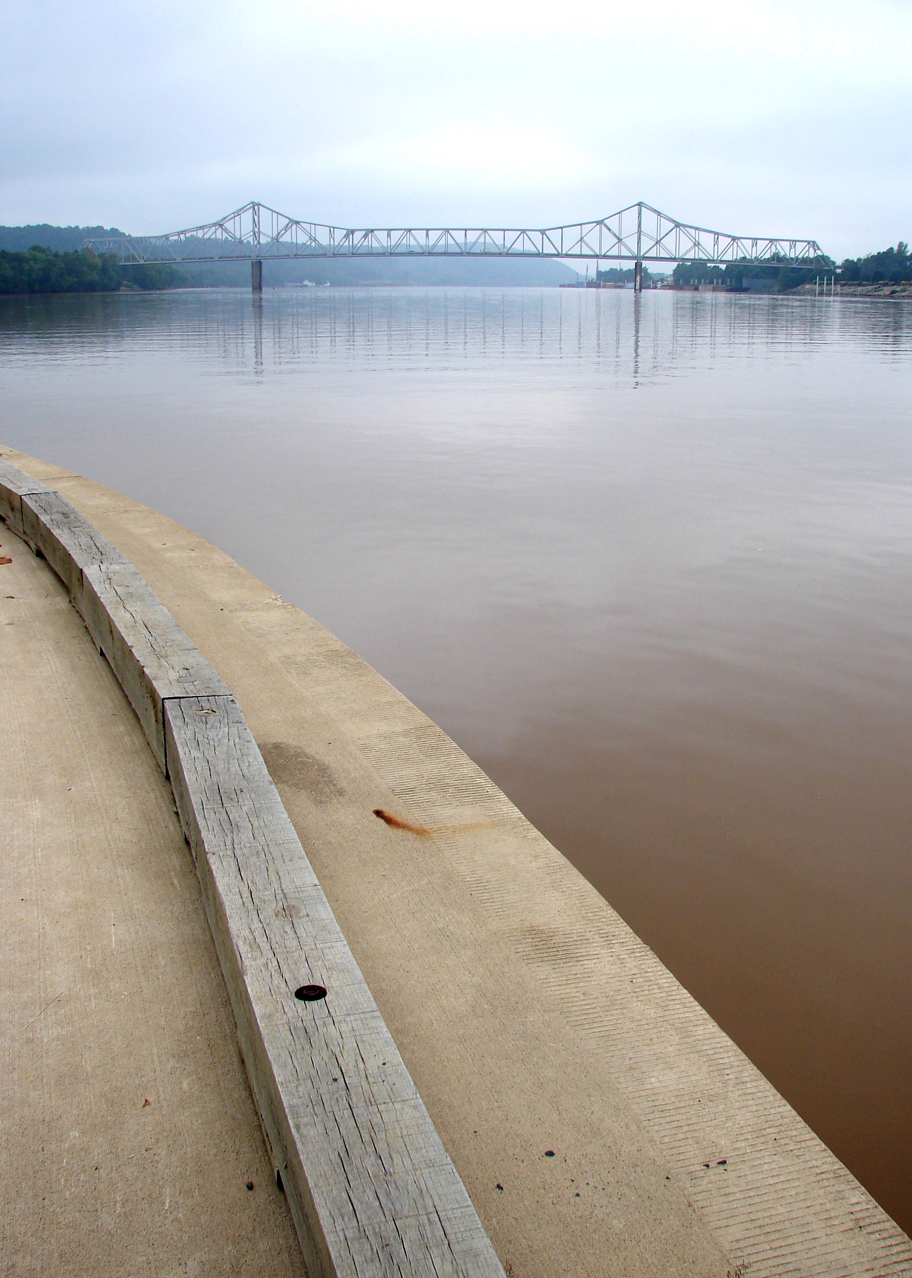
Ohio River

Basement Kitchen

Igloo Sky Glow
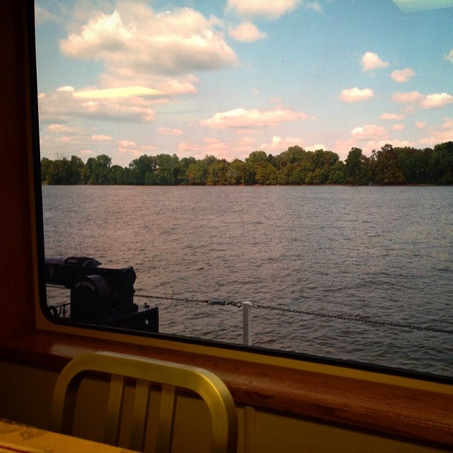
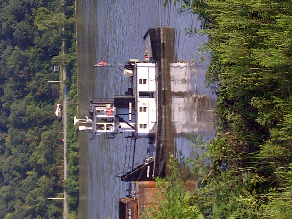
Had lunch with a view! #galley #boat #lovemyjob
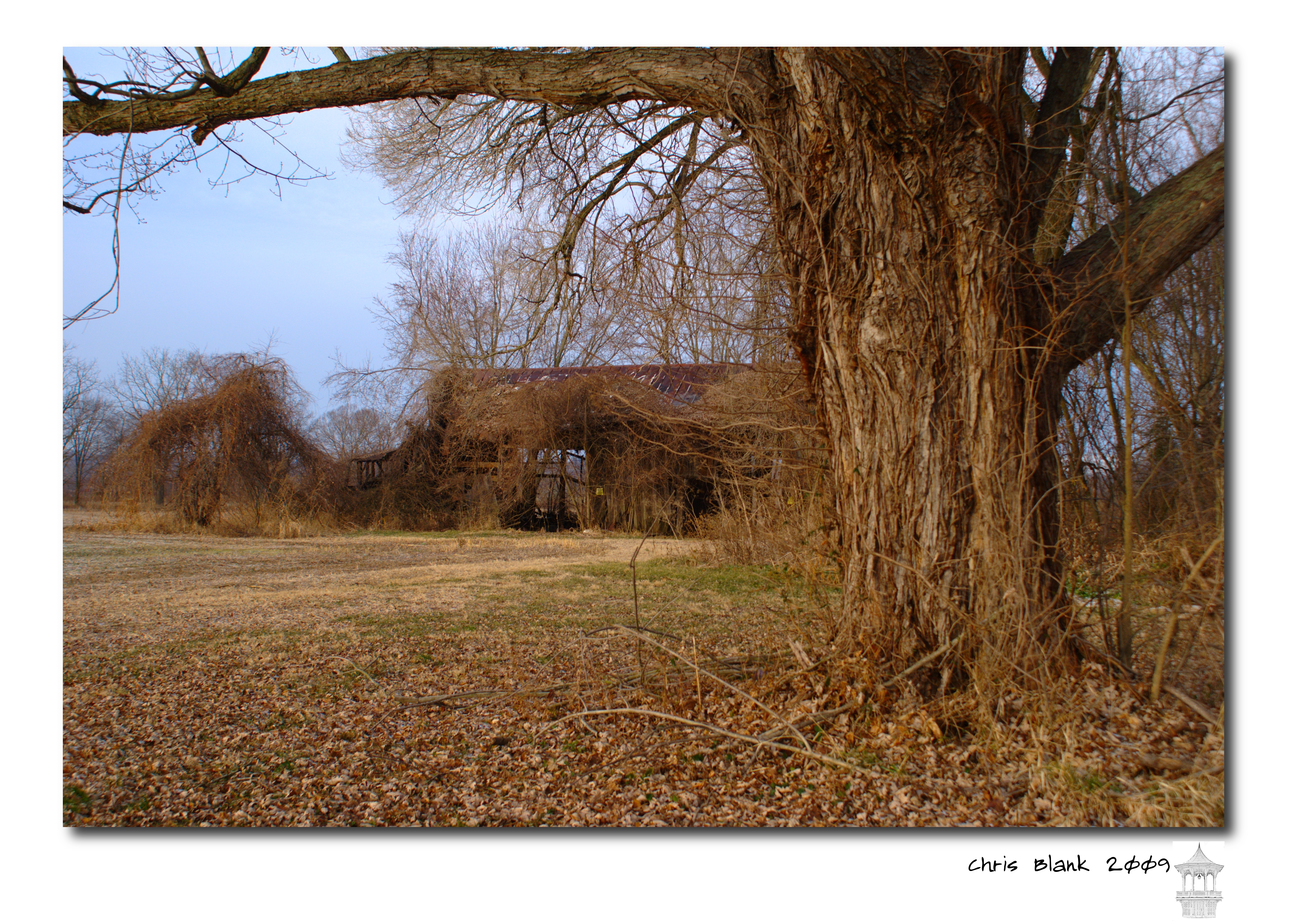
An old barn in Cheshire Ohio

New wing at Point Pleasant HS

Fields and Mountain Ranges #westvirginia #countryroads #mountainstate #fields
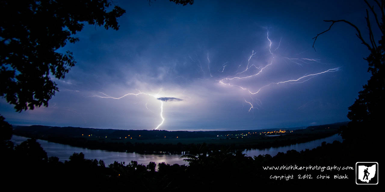
Summer Storm - {Explored #47}

Rainbow this evening #westviginia #wildandwonderful #countryroads #mountainstate
Picture 1241

Mound Hill Cemetery 4
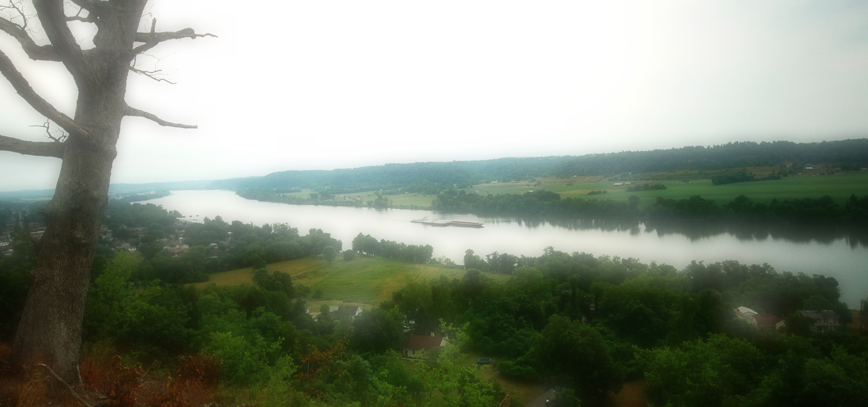
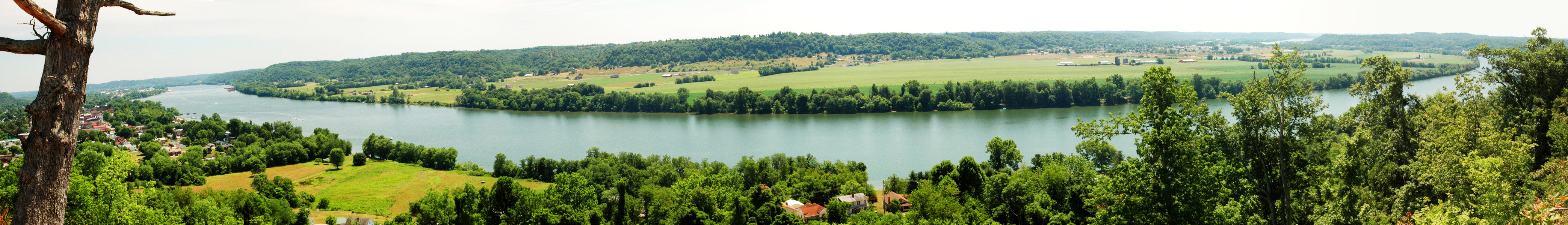
Point Pleasant, WV Panorama
Kanawha River from Tu-Endie-Wei State Park
IMG_3936 copy
Ohio River IMG_2229
Gallipolis-20130823-00271.jpg

Mound Cemetery - Gallipolis, Ohio
Fortification Hill - Gallipolis, Ohio

Sunset on the Ohio River
Fortification Hill 3

Battle of Point Pleasant
Gallipolis Ohio
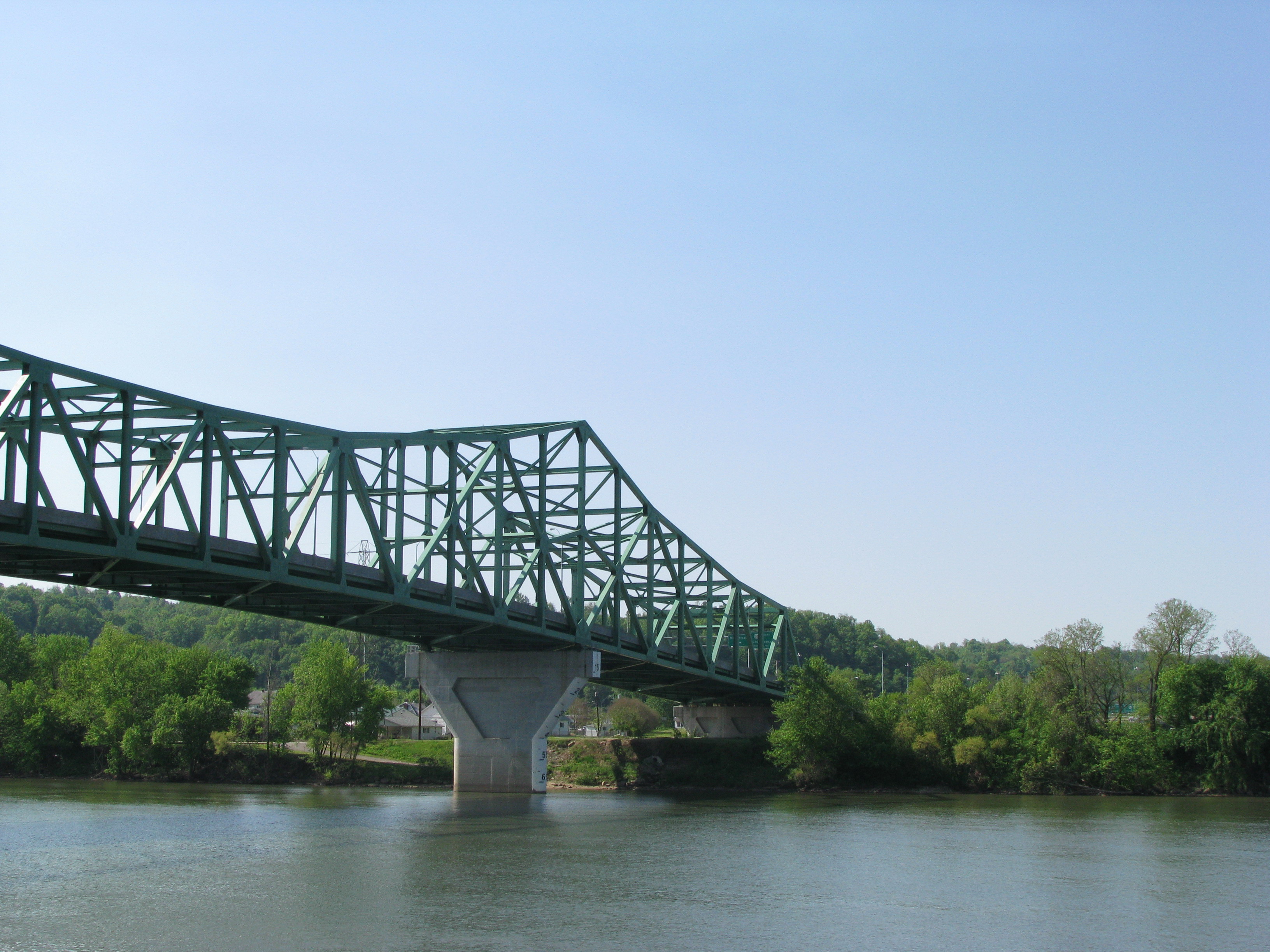
silver memorial bridge

Sunset on the Ohio River
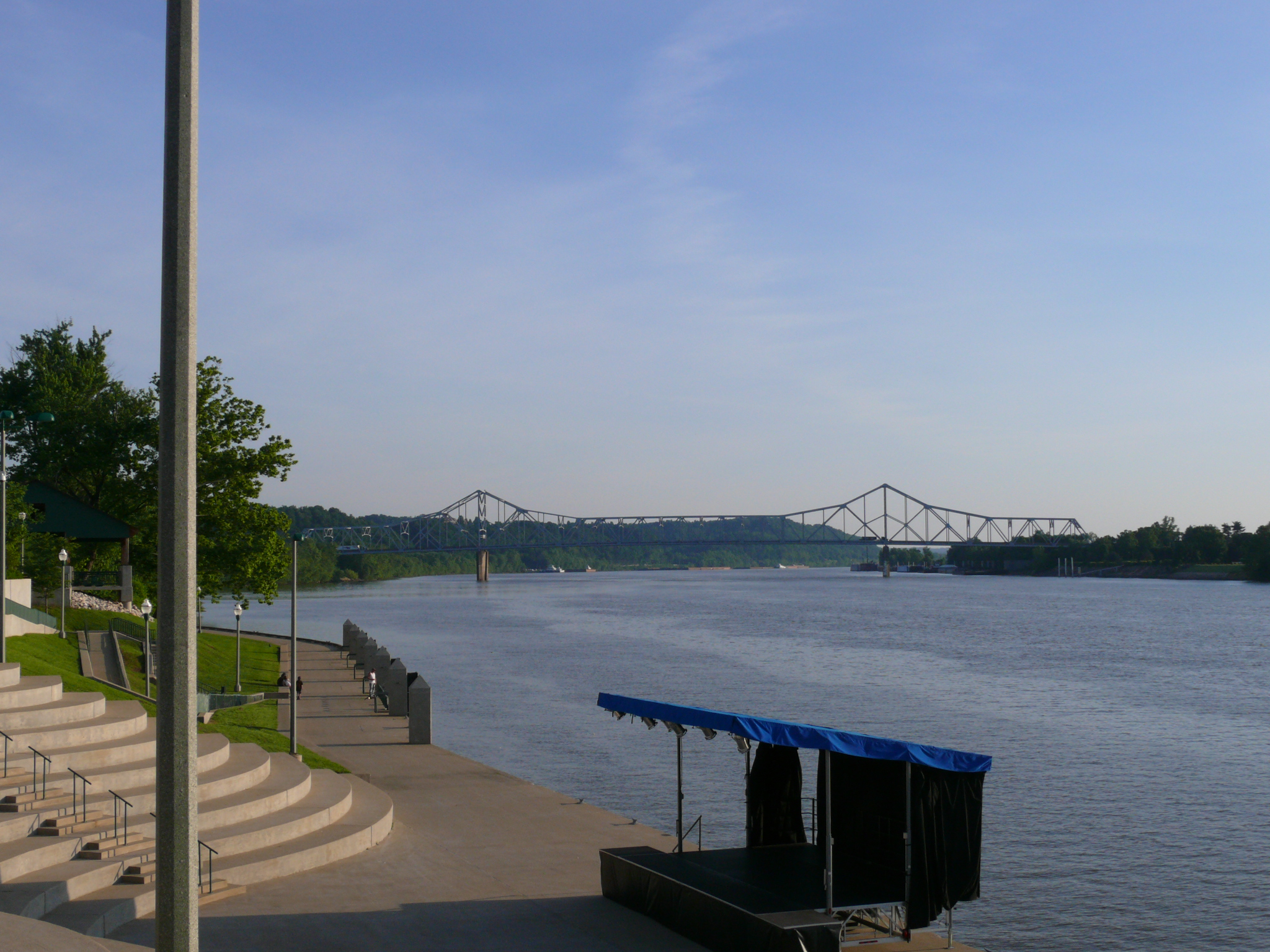
Ohio River Point Pleasant, West Virginia
Topographic Map of Henderson, WV, USA
Find elevation by address:

Places near Henderson, WV, USA:
Point Pleasant
Eastern Ave, Gallipolis, OH, USA
Middleton Estates
Gallipolis Township
Gallipolis
OH-, Gallipolis, OH, USA
Gallipolis Ferry
57 Henrys Rd, Gallipolis Ferry, WV, USA
Mound Hill Cemetery
Kathy St, Gallipolis, OH, USA
10374 Crab Creek Rd
1247 Wood School Rd
Clendenin
Mason County
Debbie Road
704 Woyan Mountain Rd
Leon
244 Hale Ln
Southside
Cologne
Recent Searches:
- Elevation of Corso Fratelli Cairoli, 35, Macerata MC, Italy
- Elevation of Tallevast Rd, Sarasota, FL, USA
- Elevation of 4th St E, Sonoma, CA, USA
- Elevation of Black Hollow Rd, Pennsdale, PA, USA
- Elevation of Oakland Ave, Williamsport, PA, USA
- Elevation of Pedrógão Grande, Portugal
- Elevation of Klee Dr, Martinsburg, WV, USA
- Elevation of Via Roma, Pieranica CR, Italy
- Elevation of Tavkvetili Mountain, Georgia
- Elevation of Hartfords Bluff Cir, Mt Pleasant, SC, USA