Elevation of Leola, AR, USA
Location: United States > Arkansas > Grant County > Tennessee Township >
Longitude: -92.5909931
Latitude: 34.1695418
Elevation: 84m / 276feet
Barometric Pressure: 0KPa
Related Photos:
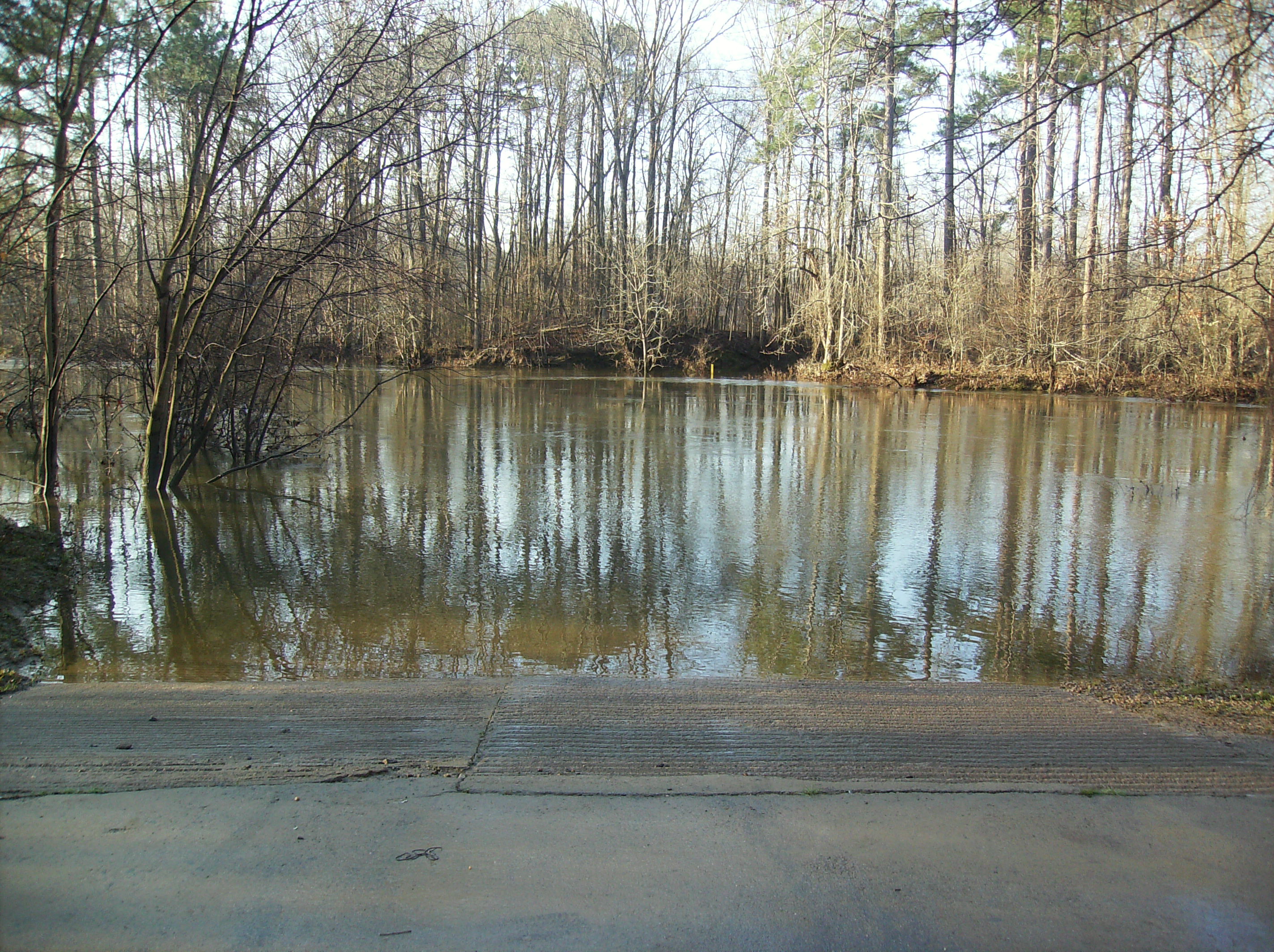
The Saline River

Confederate Monument Inscription

Battle of Jenkins' Ferry Confederate Monument
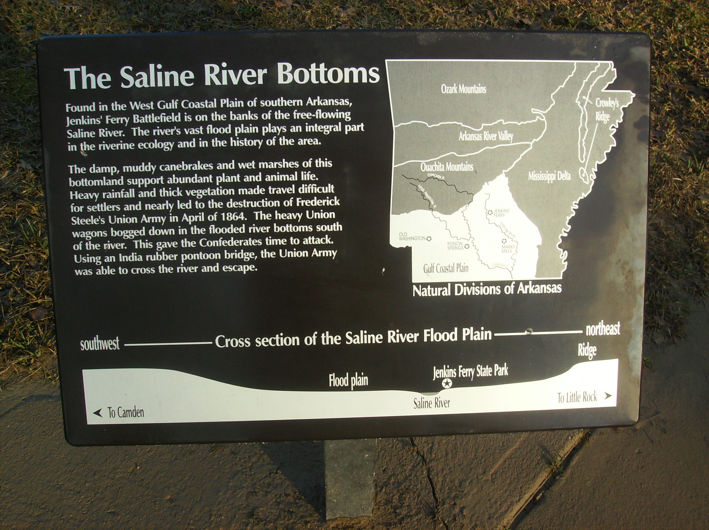
The Saline River Bottom Historical Marker

Jenkins' Ferry State Park Interpretive Sign

Deer feeding
Topographic Map of Leola, AR, USA
Find elevation by address:

Places in Leola, AR, USA:
Places near Leola, AR, USA:
Tennessee Township
AR-, Leola, AR, USA
Carthage
Chester Township
2473 Hwy 190 S
Prattsville
Calvert Township
River Township
88 AR-, Poyen, AR, USA
Poyen
Fenter Township
Dallas County
AR-, Prattsville, AR, USA
Grant County
US-, Carthage, AR, USA
Co Rd 9, Sheridan, AR, USA
AR-35, Sheridan, AR, USA
1430 Skyline Dr
Sheridan
Forest Road 9117
Recent Searches:
- Elevation map of Greenland, Greenland
- Elevation of Sullivan Hill, New York, New York, 10002, USA
- Elevation of Morehead Road, Withrow Downs, Charlotte, Mecklenburg County, North Carolina, 28262, USA
- Elevation of 2800, Morehead Road, Withrow Downs, Charlotte, Mecklenburg County, North Carolina, 28262, USA
- Elevation of Yangbi Yi Autonomous County, Yunnan, China
- Elevation of Pingpo, Yangbi Yi Autonomous County, Yunnan, China
- Elevation of Mount Malong, Pingpo, Yangbi Yi Autonomous County, Yunnan, China
- Elevation map of Yongping County, Yunnan, China
- Elevation of North 8th Street, Palatka, Putnam County, Florida, 32177, USA
- Elevation of 107, Big Apple Road, East Palatka, Putnam County, Florida, 32131, USA
- Elevation of Jiezi, Chongzhou City, Sichuan, China
- Elevation of Chongzhou City, Sichuan, China
- Elevation of Huaiyuan, Chongzhou City, Sichuan, China
- Elevation of Qingxia, Chengdu, Sichuan, China
- Elevation of Corso Fratelli Cairoli, 35, Macerata MC, Italy
- Elevation of Tallevast Rd, Sarasota, FL, USA
- Elevation of 4th St E, Sonoma, CA, USA
- Elevation of Black Hollow Rd, Pennsdale, PA, USA
- Elevation of Oakland Ave, Williamsport, PA, USA
- Elevation of Pedrógão Grande, Portugal