Elevation of Fenter Township, AR, USA
Location: United States > Arkansas > Grant County >
Longitude: -92.638779
Latitude: 34.3249288
Elevation: 72m / 236feet
Barometric Pressure: 100KPa
Elevation Map:
Satellite Map:
Related Photos:
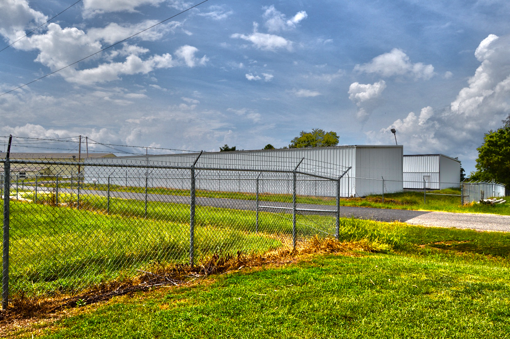
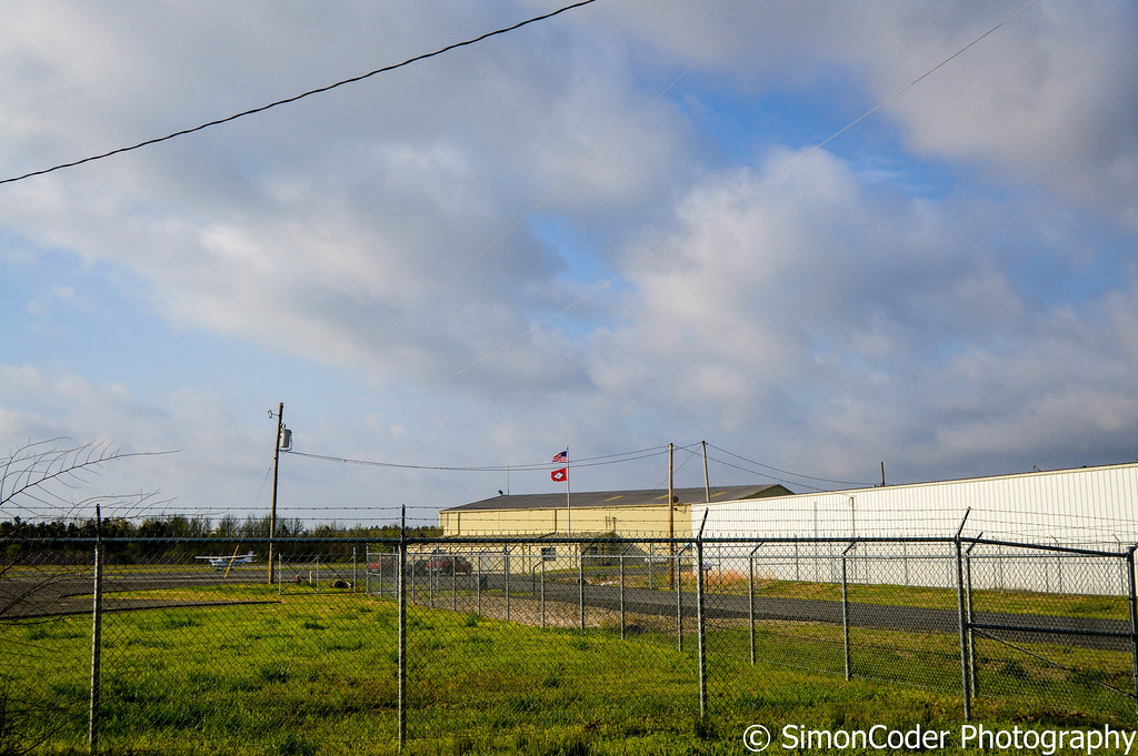
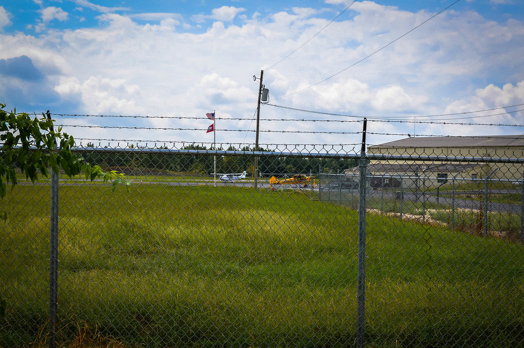
The Hangers
Barn Day
Hangin' at the GRB

View askew office
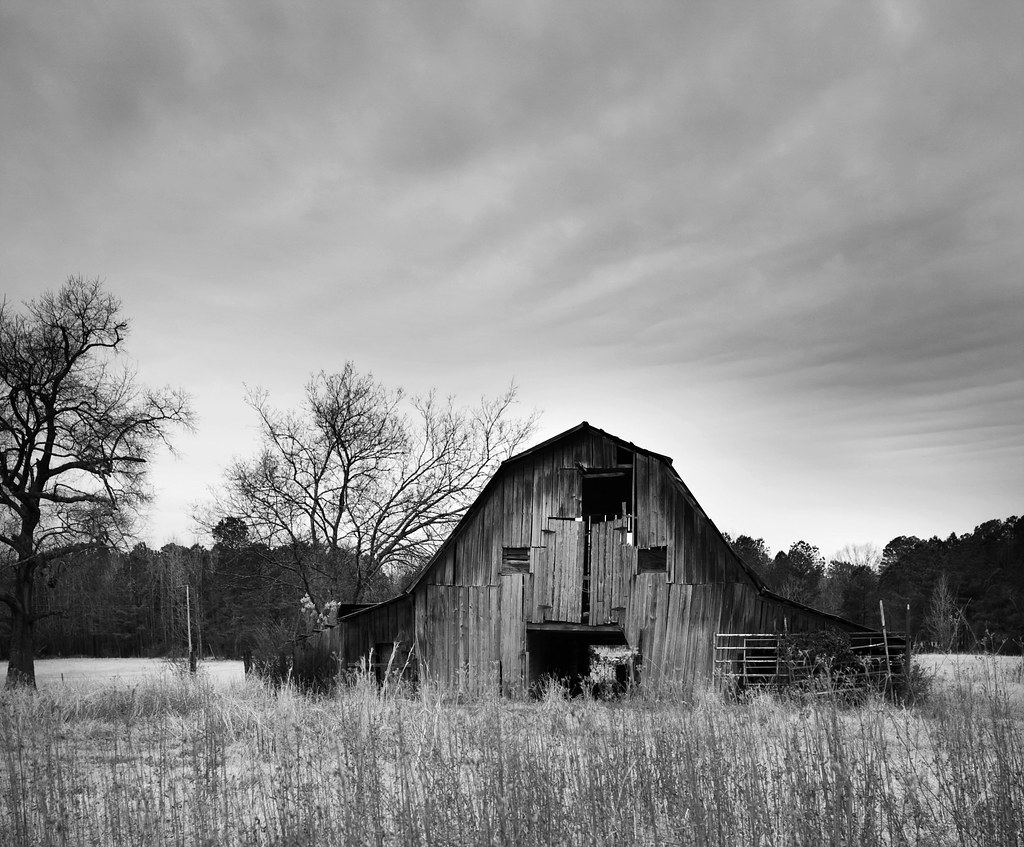
A barn I've shot a time or two before.
aaajh444 001
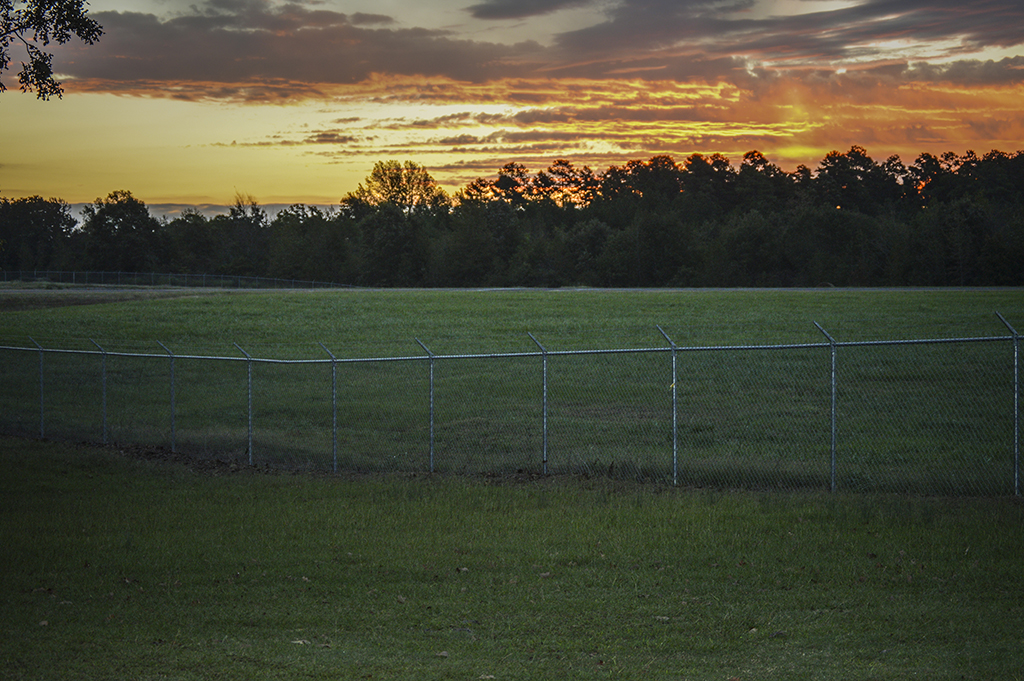
Cloudy at the Airport

IMG_0091.jpg
DSC_0968.jpg

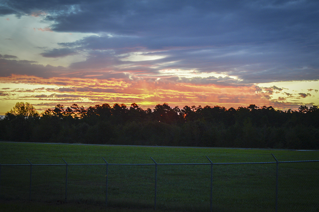
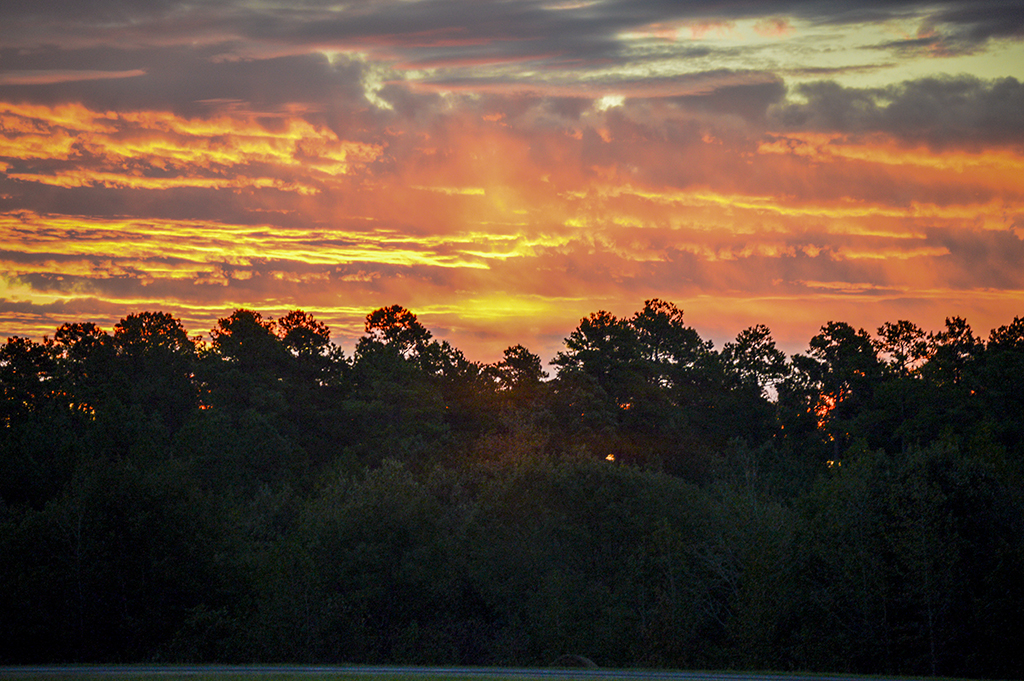
Sunrise 002SM

Sunrise 003SM

Sunrise 004SM
aaajh444 004
aaajh444 007
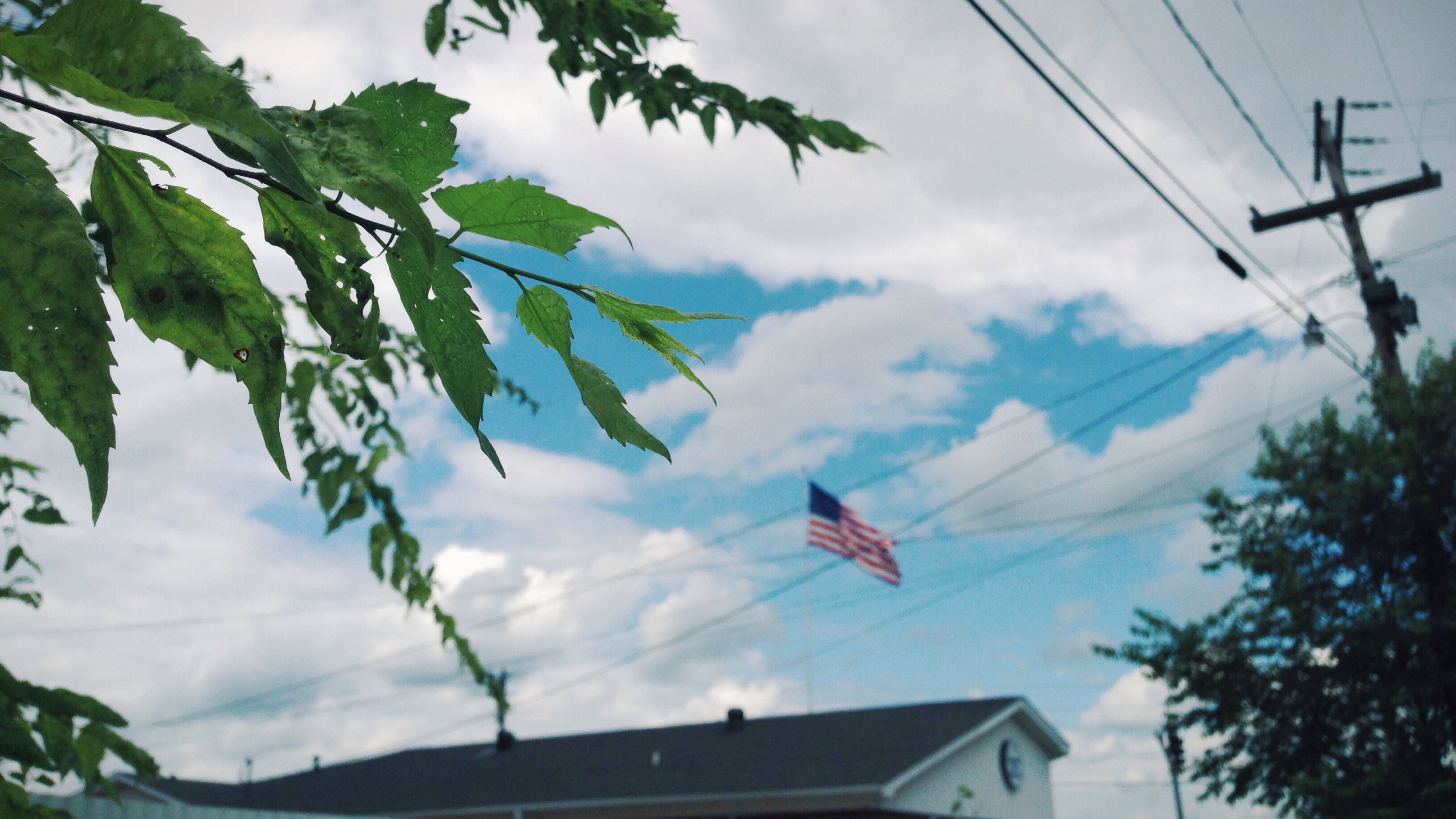
God bless America. #america #american #landscape #macro #vscocam #natural #light #beautiful #sky #clouds #iPhone #5

Starting to rain
Topographic Map of Fenter Township, AR, USA
Find elevation by address:

Places in Fenter Township, AR, USA:
Places near Fenter Township, AR, USA:
Poyen
88 AR-, Poyen, AR, USA
River Township
AR-, Prattsville, AR, USA
Prattsville
AR-, Leola, AR, USA
2473 Hwy 190 S
Tull
State Hwy N, Tull, AR, USA
Tennessee Township
8302 Main St
Dekalb Township
US-67, Malvern, AR, USA
Leola
Haskell
Kennedy Haskell St, Benton, AR, USA
Haskell Township
7200 I-30
7200 I-30
7200 I-30
Recent Searches:
- Elevation of Corso Fratelli Cairoli, 35, Macerata MC, Italy
- Elevation of Tallevast Rd, Sarasota, FL, USA
- Elevation of 4th St E, Sonoma, CA, USA
- Elevation of Black Hollow Rd, Pennsdale, PA, USA
- Elevation of Oakland Ave, Williamsport, PA, USA
- Elevation of Pedrógão Grande, Portugal
- Elevation of Klee Dr, Martinsburg, WV, USA
- Elevation of Via Roma, Pieranica CR, Italy
- Elevation of Tavkvetili Mountain, Georgia
- Elevation of Hartfords Bluff Cir, Mt Pleasant, SC, USA