Elevation of Lee Road, Salem, AL, USA
Location: United States > Alabama > Lee County > Salem >
Longitude: -85.234300
Latitude: 32.5172972
Elevation: 156m / 512feet
Barometric Pressure: 99KPa
Elevation Map:
Satellite Map:
Related Photos:

Great Falls
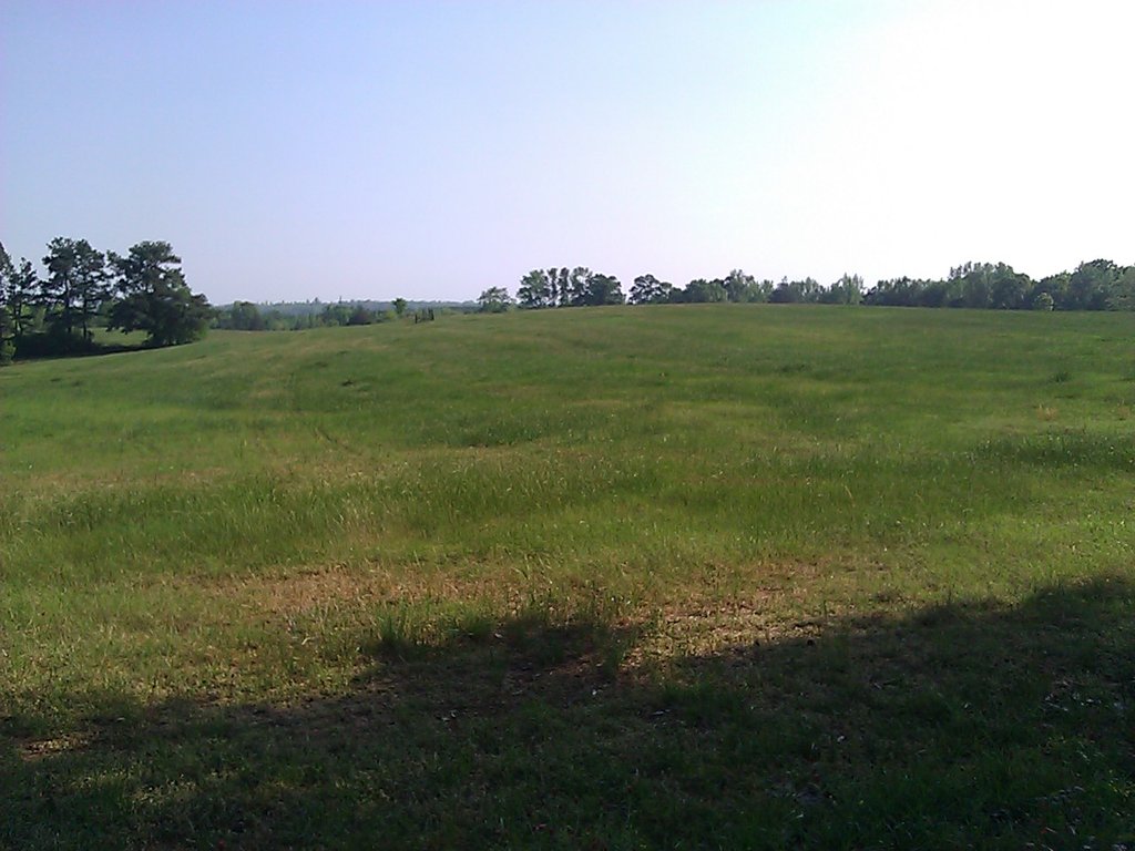
Big field. This view makes happy for some reason each time I walk by.

View Of The Horizon From My Front Yard Park Bench

Great Falls

Foggy Sunrise Over the Pond

Foggy Sunrise

365/365 Great Falls

Fishing At Uncle Rusty's

Sun Setting Over the Pasture Grass

Fishing At Uncle Rusty's

Great Falls

Great Falls
Topographic Map of Lee Road, Salem, AL, USA
Find elevation by address:

Places near Lee Road, Salem, AL, USA:
103 Lee Road 411
103 Lee Road 411
103 Lee Road 411
103 Lee Road 411
103 Lee Road 411
103 Lee Road 411
103 Lee Road 411
103 Lee Road 411
103 Lee Road 411
103 Lee Road 411
Lee County Rd, Salem, AL, USA
Co Rd, Salem, AL, USA
2744 Lee Rd 40
2270 Lee Rd 40
Huguley Rd, Opelika, AL, USA
Co Rd 21, Opelika, AL, USA
Co Rd 38, Opelika, AL, USA
Co Rd 44, Opelika, AL, USA
Lee Rd, Smiths Station, AL, USA
Patricia Drive
Recent Searches:
- Elevation of Corso Fratelli Cairoli, 35, Macerata MC, Italy
- Elevation of Tallevast Rd, Sarasota, FL, USA
- Elevation of 4th St E, Sonoma, CA, USA
- Elevation of Black Hollow Rd, Pennsdale, PA, USA
- Elevation of Oakland Ave, Williamsport, PA, USA
- Elevation of Pedrógão Grande, Portugal
- Elevation of Klee Dr, Martinsburg, WV, USA
- Elevation of Via Roma, Pieranica CR, Italy
- Elevation of Tavkvetili Mountain, Georgia
- Elevation of Hartfords Bluff Cir, Mt Pleasant, SC, USA