Elevation of Co Rd 38, Opelika, AL, USA
Location: United States > Alabama > Lee County > Opelika >
Longitude: -85.352534
Latitude: 32.4646033
Elevation: 160m / 525feet
Barometric Pressure: 99KPa
Elevation Map:
Satellite Map:
Related Photos:

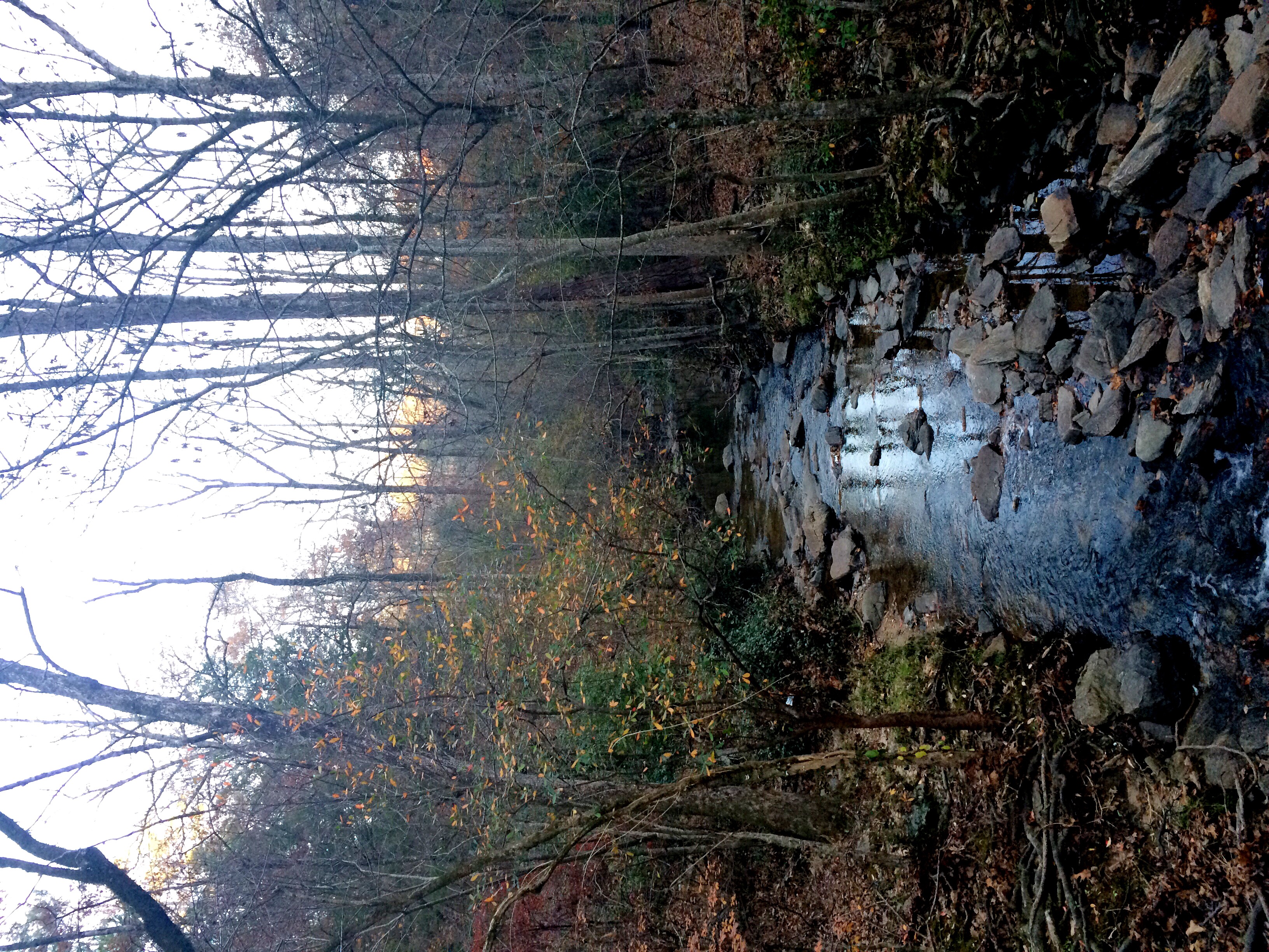
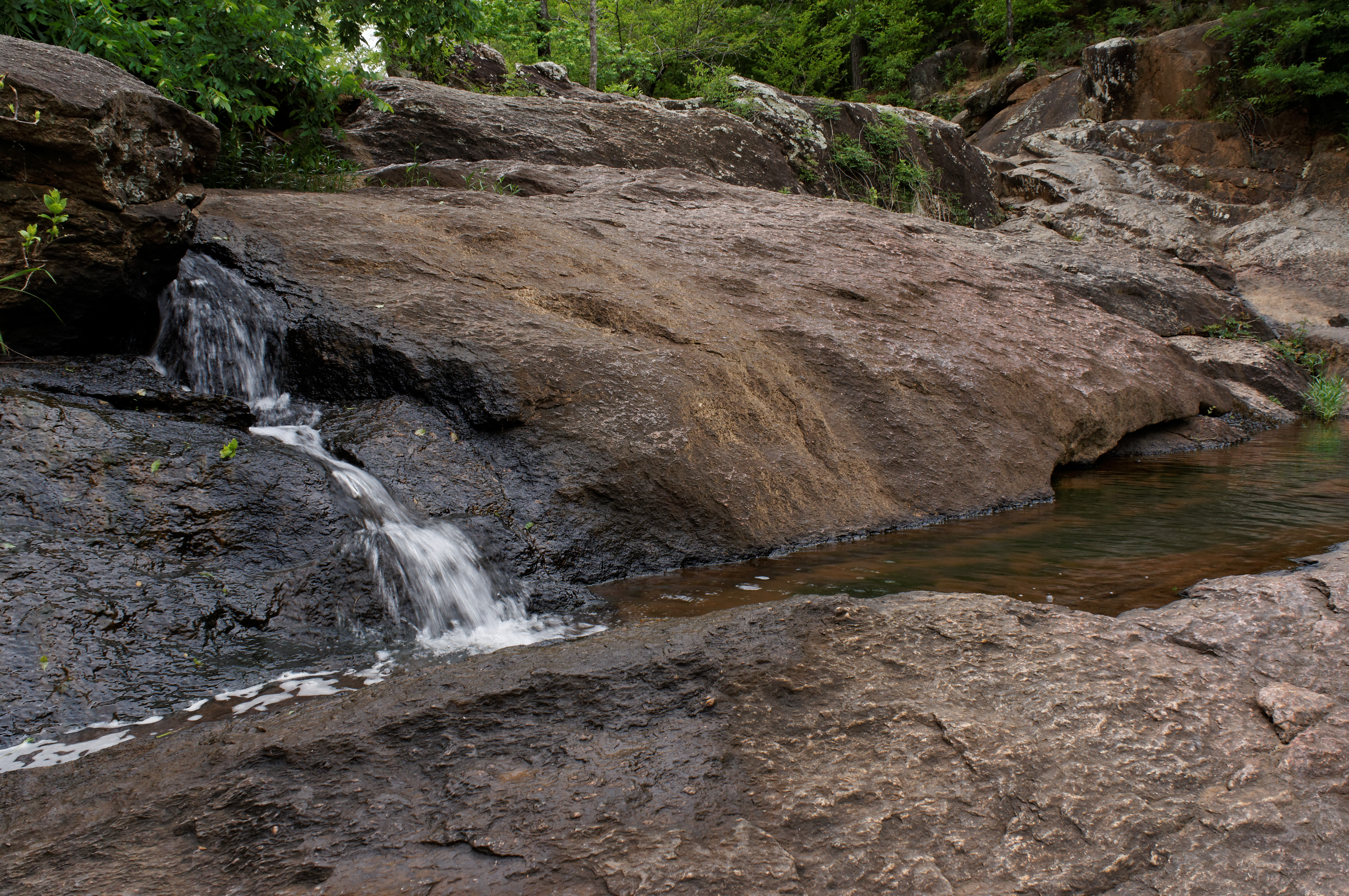
Chewacla Falls
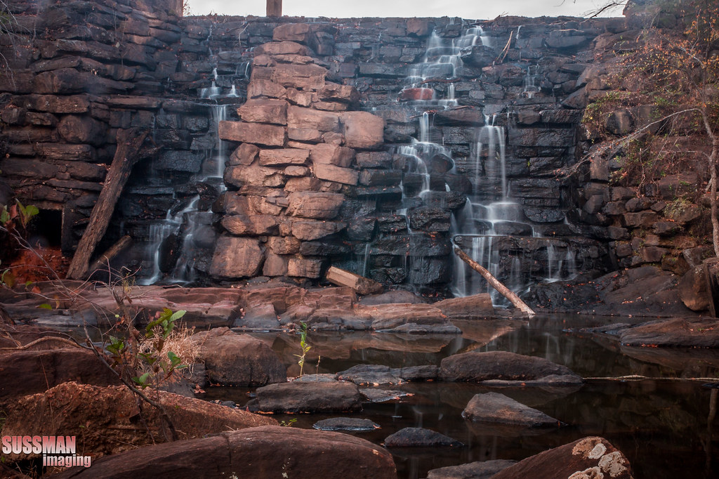
Chewacla Falls

Chewacla State Park

Sun Setting Over the Pasture Grass

Chewacla Falls

Chewacla State Park Sep 20 2014 8

σεληνόφωτο

Chewacla State Park Sep 20 2014 12

Project 365- 264-365

Chewacla State Park Sep 20 2014 7
Fill er up

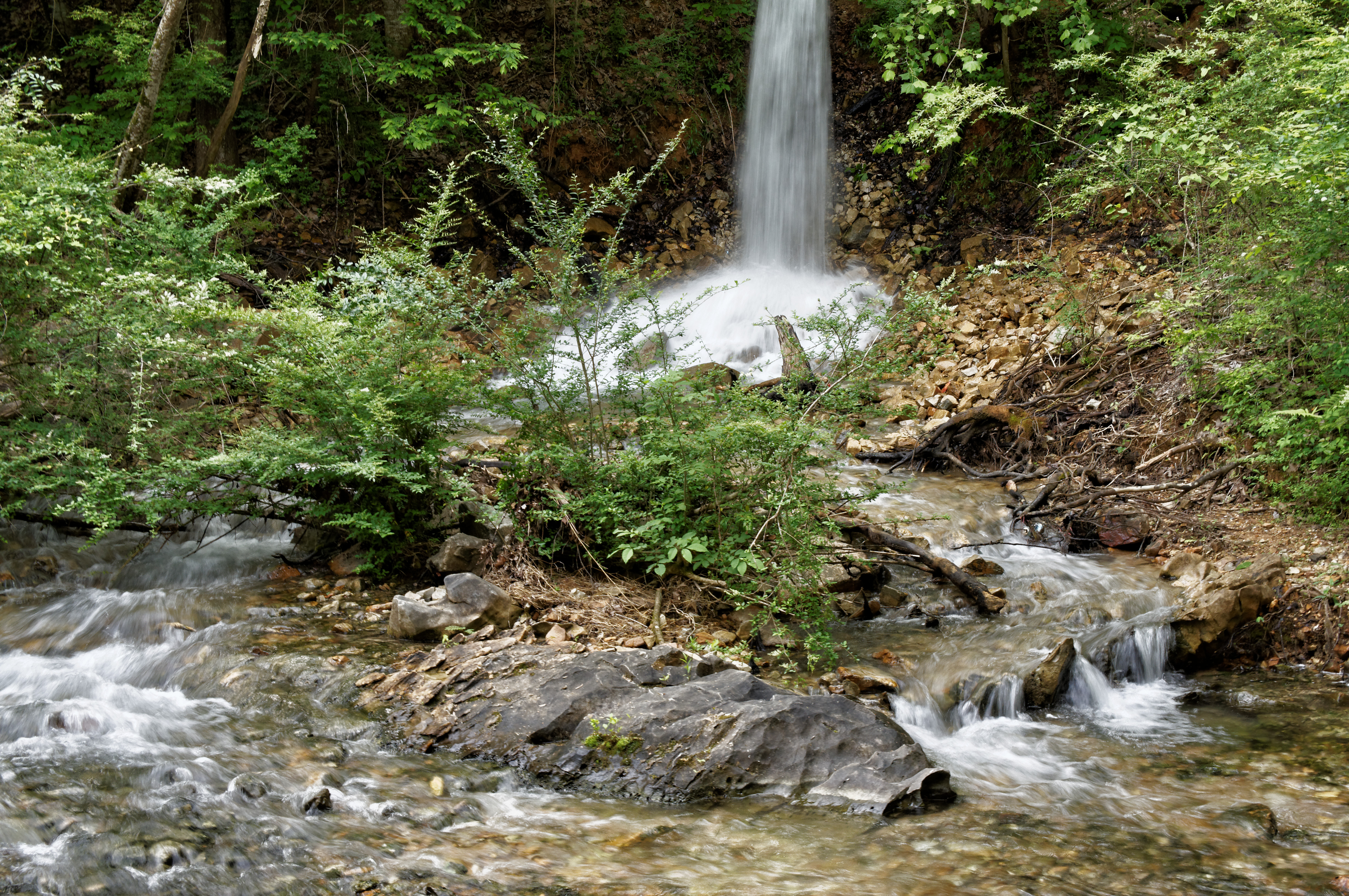
After Chewacla Falls

Chewacla State Park Sep 20 2014 1
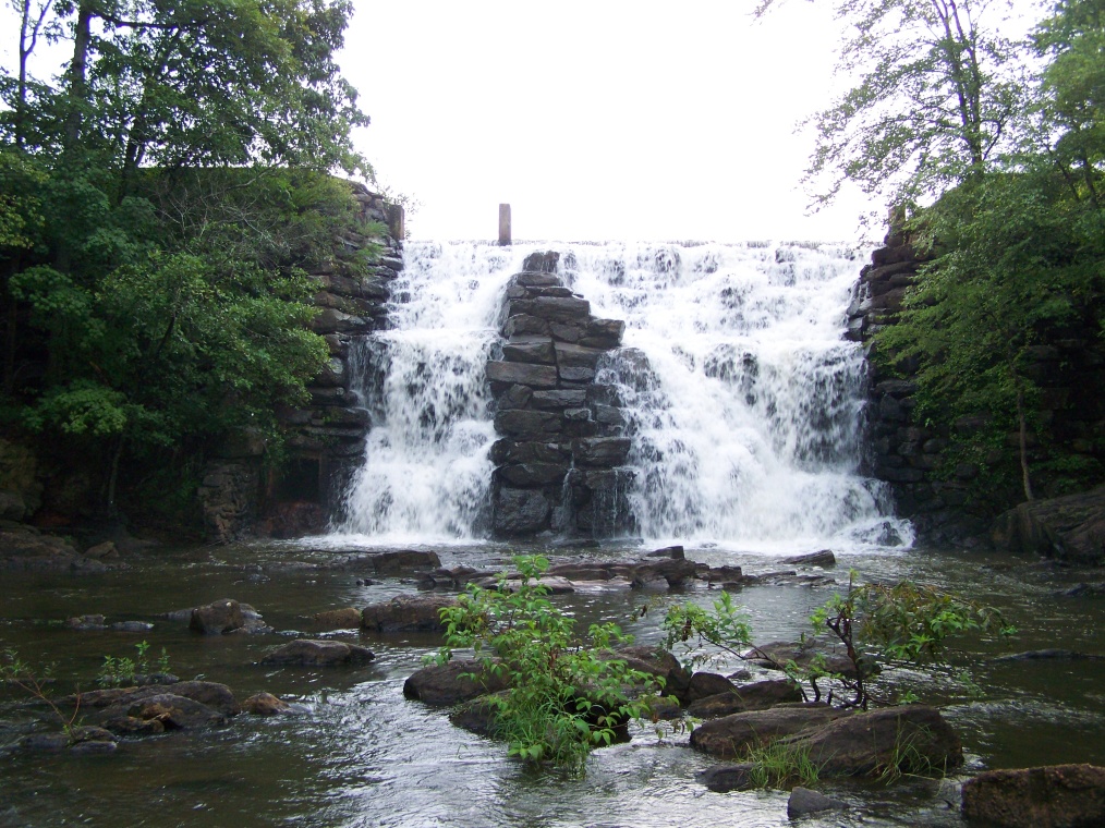
Chewacla Falls Auburn Alabama

Chewacla State Park Sep 20 2014 5
Watch your step

Chewacla State Park Sep 20 2014 11
My goodness. I was able to finish Pete's before the sunset and take a pic from the bridge.

Chewacla State Park Sep 20 2014 4
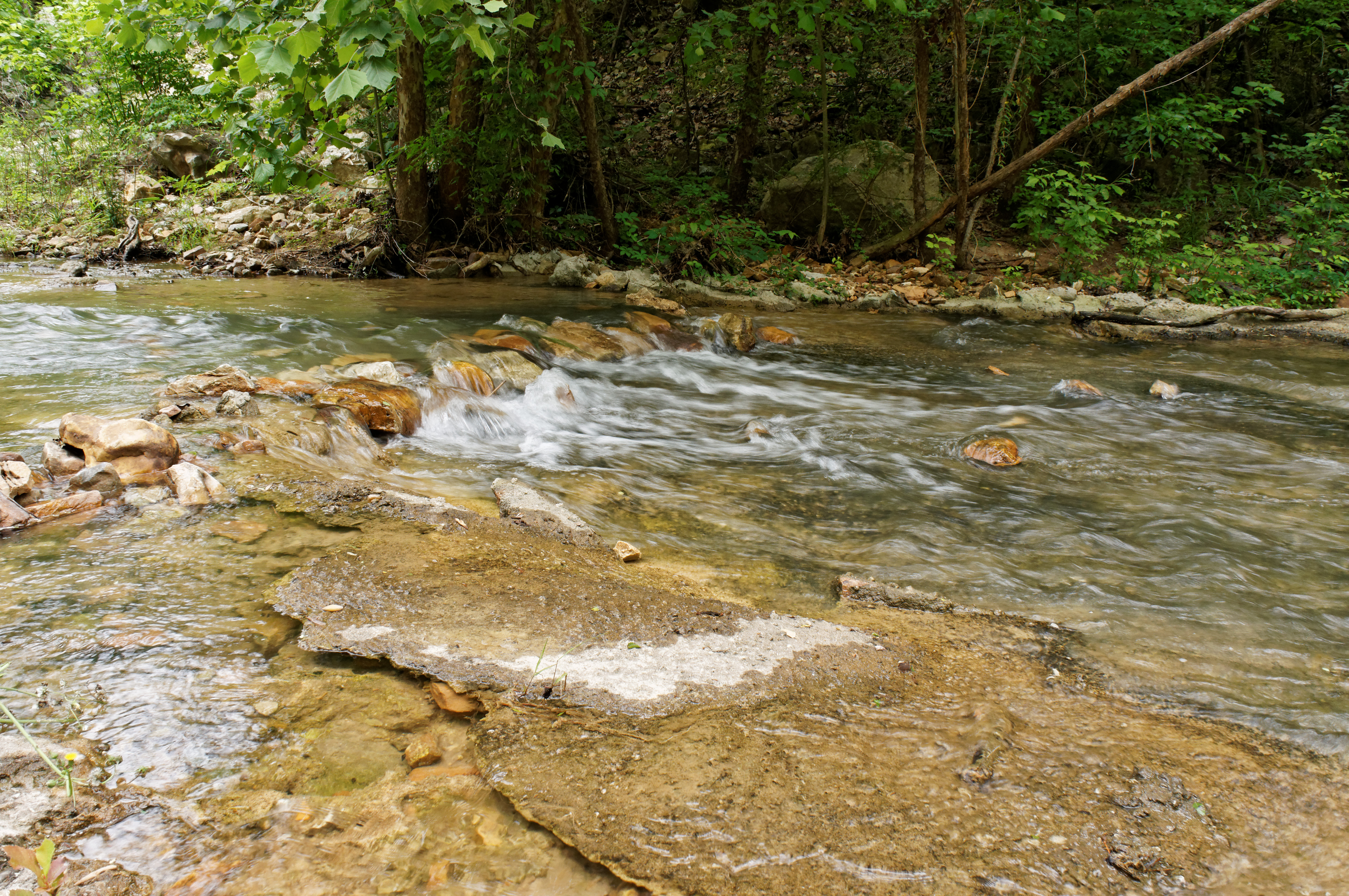
Spring a Leak

Chewacla State Park Sep 20 2014 6
Topographic Map of Co Rd 38, Opelika, AL, USA
Find elevation by address:

Places near Co Rd 38, Opelika, AL, USA:
Co Rd 44, Opelika, AL, USA
2270 Lee Rd 40
2744 Lee Rd 40
Co Rd 21, Opelika, AL, USA
Huguley Rd, Opelika, AL, USA
103 Lee Road 411
103 Lee Road 411
103 Lee Road 411
103 Lee Road 411
103 Lee Road 411
103 Lee Road 411
103 Lee Road 411
103 Lee Road 411
103 Lee Road 411
103 Lee Road 411
103 Lee Road 411
Hyram Rd, Seale, AL, USA
Lee County Rd, Salem, AL, USA
Co Rd, Salem, AL, USA
Russell County
Recent Searches:
- Elevation of Corso Fratelli Cairoli, 35, Macerata MC, Italy
- Elevation of Tallevast Rd, Sarasota, FL, USA
- Elevation of 4th St E, Sonoma, CA, USA
- Elevation of Black Hollow Rd, Pennsdale, PA, USA
- Elevation of Oakland Ave, Williamsport, PA, USA
- Elevation of Pedrógão Grande, Portugal
- Elevation of Klee Dr, Martinsburg, WV, USA
- Elevation of Via Roma, Pieranica CR, Italy
- Elevation of Tavkvetili Mountain, Georgia
- Elevation of Hartfords Bluff Cir, Mt Pleasant, SC, USA