Elevation of Lee County Rd, Salem, AL, USA
| Latitude | 32.5095066 |
|---|---|
| Longitude | -85.1882329 |
| Elevation | 126m / 413feet |
| Barometric Pressure | 998KPa |
Related Photos:
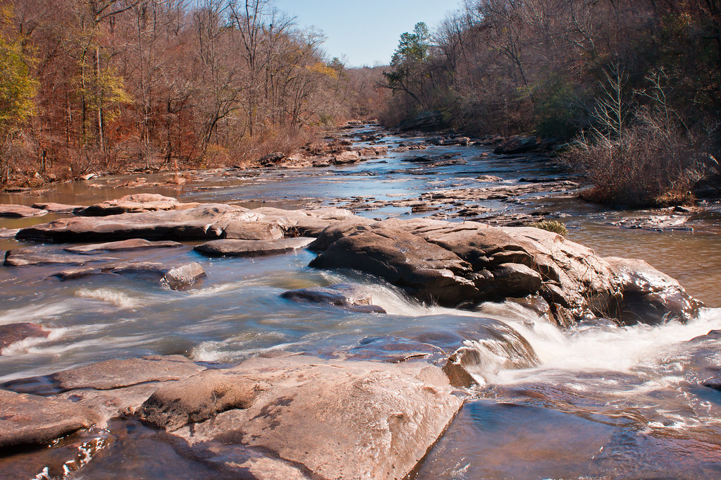
Great Falls
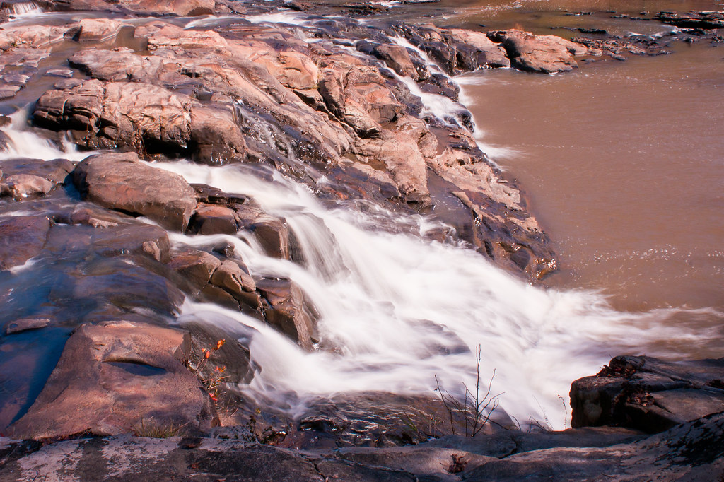
365/365 Great Falls

Great Falls
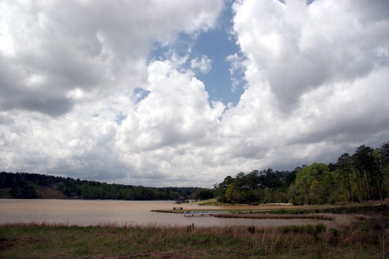
Green Island

Sun Setting Over the Pasture Grass
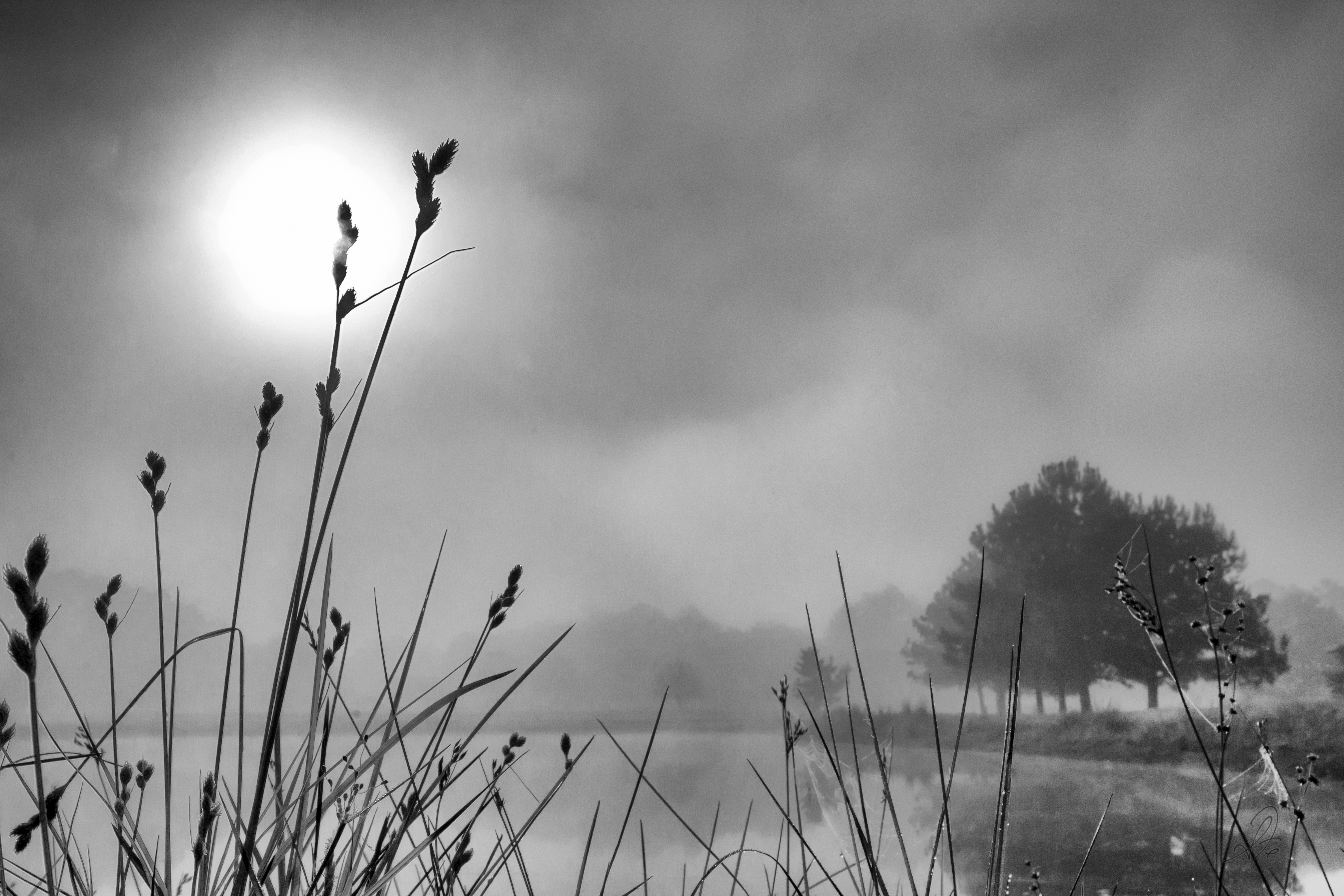
Foggy Sunrise
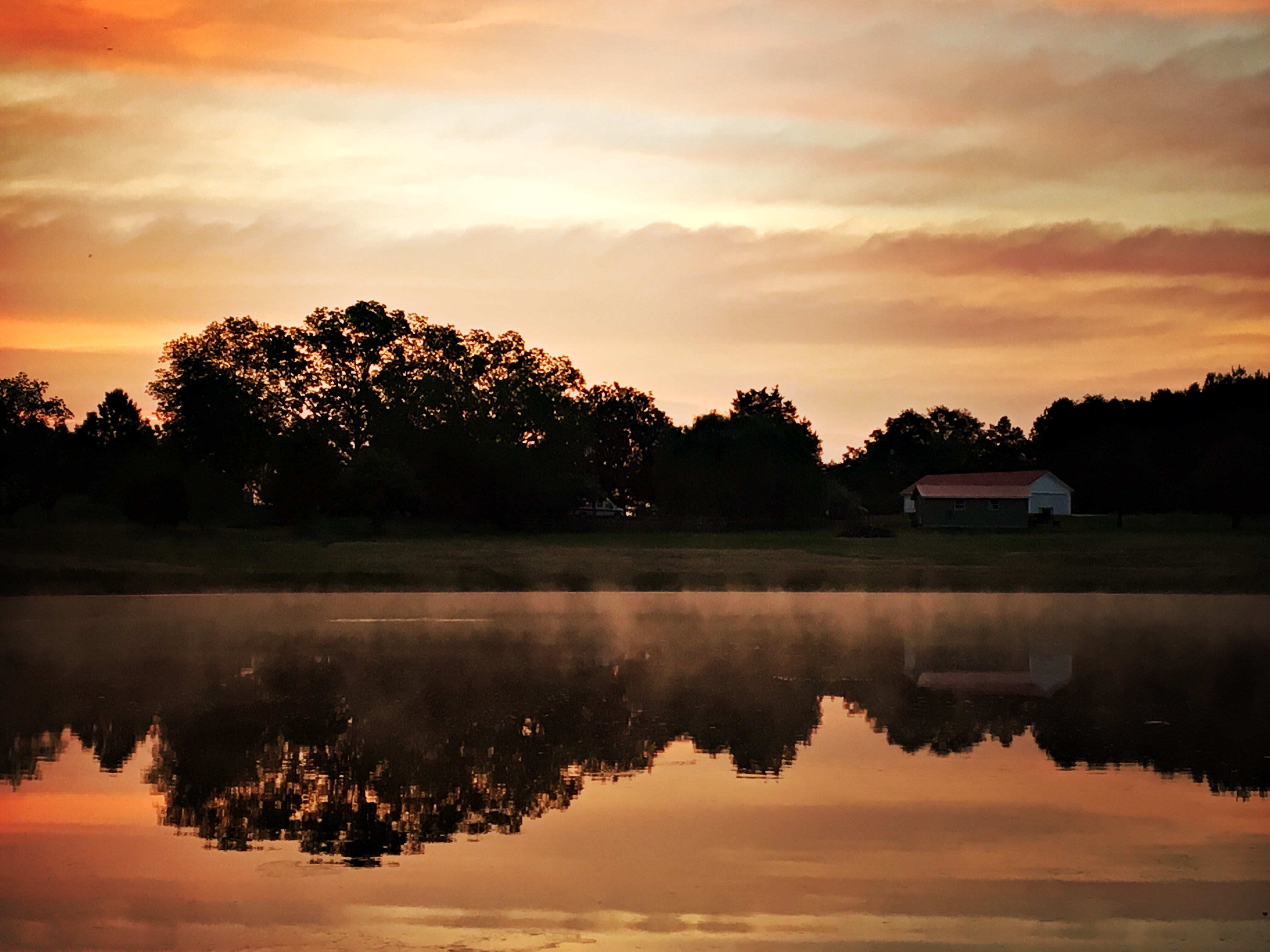
Foggy Sunrise Over the Pond

Fishing At Uncle Rusty's

Fishing At Uncle Rusty's

Great Falls
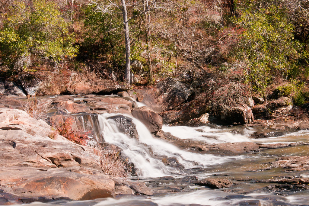
Great Falls
Topographic Map of Lee County Rd, Salem, AL, USA
Find elevation by address:
Places near Lee County Rd, Salem, AL, USA:
Co Rd, Salem, AL, USA
103 Lee Road 411
103 Lee Road 411
103 Lee Road 411
103 Lee Road 411
103 Lee Road 411
103 Lee Road 411
103 Lee Road 411
103 Lee Road 411
103 Lee Road 411
103 Lee Road 411
103 Lee Road 411
Huguley Rd, Opelika, AL, USA
Lee Rd, Smiths Station, AL, USA
2744 Lee Rd 40
Patricia Drive
Patricia Drive
US-80, Phenix City, AL, USA
2270 Lee Rd 40
Co Rd 21, Opelika, AL, USA
Recent Searches:
- Elevation of 104, Chancery Road, Middletown Township, Bucks County, Pennsylvania, 19047, USA
- Elevation of 1212, Cypress Lane, Dayton, Liberty County, Texas, 77535, USA
- Elevation map of Central Hungary, Hungary
- Elevation map of Pest, Central Hungary, Hungary
- Elevation of Pilisszentkereszt, Pest, Central Hungary, Hungary
- Elevation of Dharamkot Tahsil, Punjab, India
- Elevation of Bhinder Khurd, Dharamkot Tahsil, Punjab, India
- Elevation of 2881, Chabot Drive, San Bruno, San Mateo County, California, 94066, USA
- Elevation of 10370, West 107th Circle, Westminster, Jefferson County, Colorado, 80021, USA
- Elevation of 611, Roman Road, Old Ford, Bow, London, England, E3 2RW, United Kingdom
- Elevation of 116, Beartown Road, Underhill, Chittenden County, Vermont, 05489, USA
- Elevation of Window Rock, Colfax County, New Mexico, 87714, USA
- Elevation of 4807, Rosecroft Street, Kempsville Gardens, Virginia Beach, Virginia, 23464, USA
- Elevation map of Matawinie, Quebec, Canada
- Elevation of Sainte-Émélie-de-l'Énergie, Matawinie, Quebec, Canada
- Elevation of Rue du Pont, Sainte-Émélie-de-l'Énergie, Matawinie, Quebec, J0K2K0, Canada
- Elevation of 8, Rue de Bécancour, Blainville, Thérèse-De Blainville, Quebec, J7B1N2, Canada
- Elevation of Wilmot Court North, 163, University Avenue West, Northdale, Waterloo, Region of Waterloo, Ontario, N2L6B6, Canada
- Elevation map of Panamá Province, Panama
- Elevation of Balboa, Panamá Province, Panama