Elevation of Lawton, ND, USA
Location: United States > North Dakota > Ramsey County >
Longitude: -98.369274
Latitude: 48.3027789
Elevation: 463m / 1519feet
Barometric Pressure: 96KPa
Elevation Map:
Satellite Map:
Related Photos:

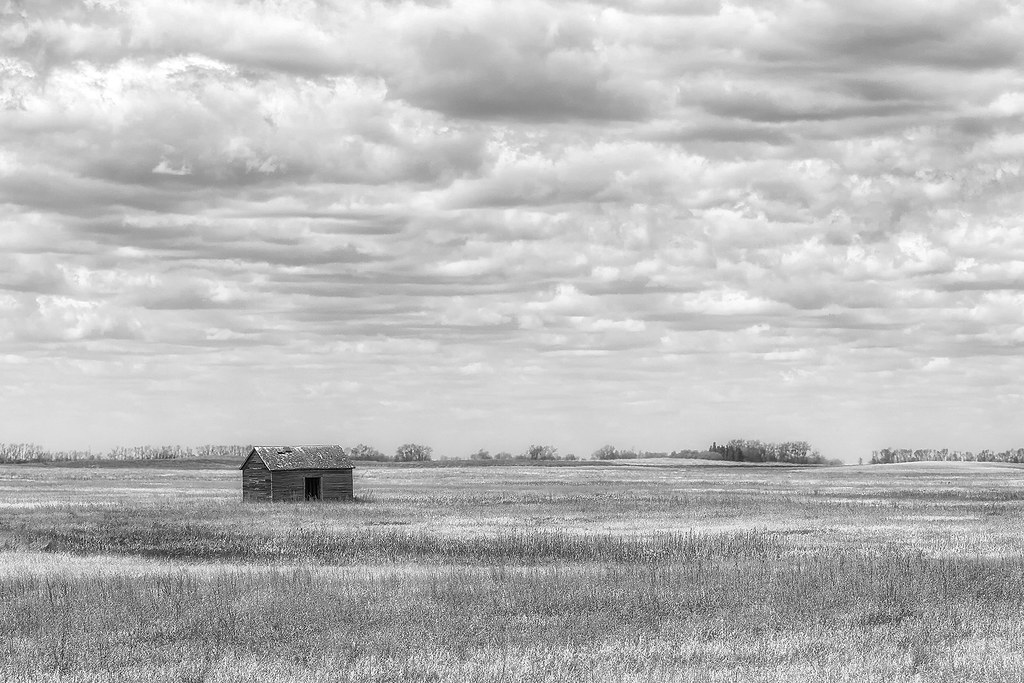
Once a Home
Once Upon
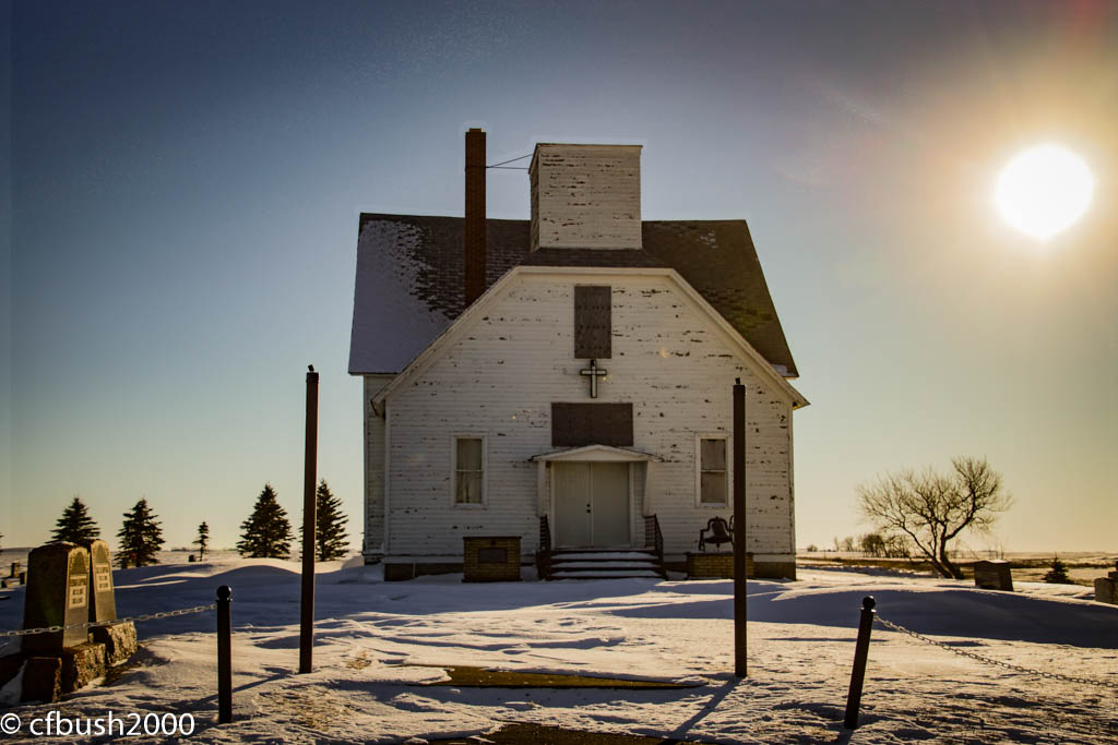
Vang Lutheran Church 010216
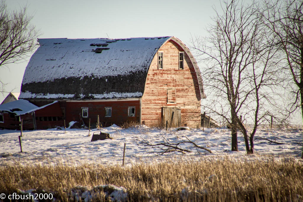
Edmore Barn 010216

Near Brocket ND 050915

Sympetrum costiferum

Aeshna interrupta

Sympetrum costiferum

Sympetrum danae

Sympetrum danae
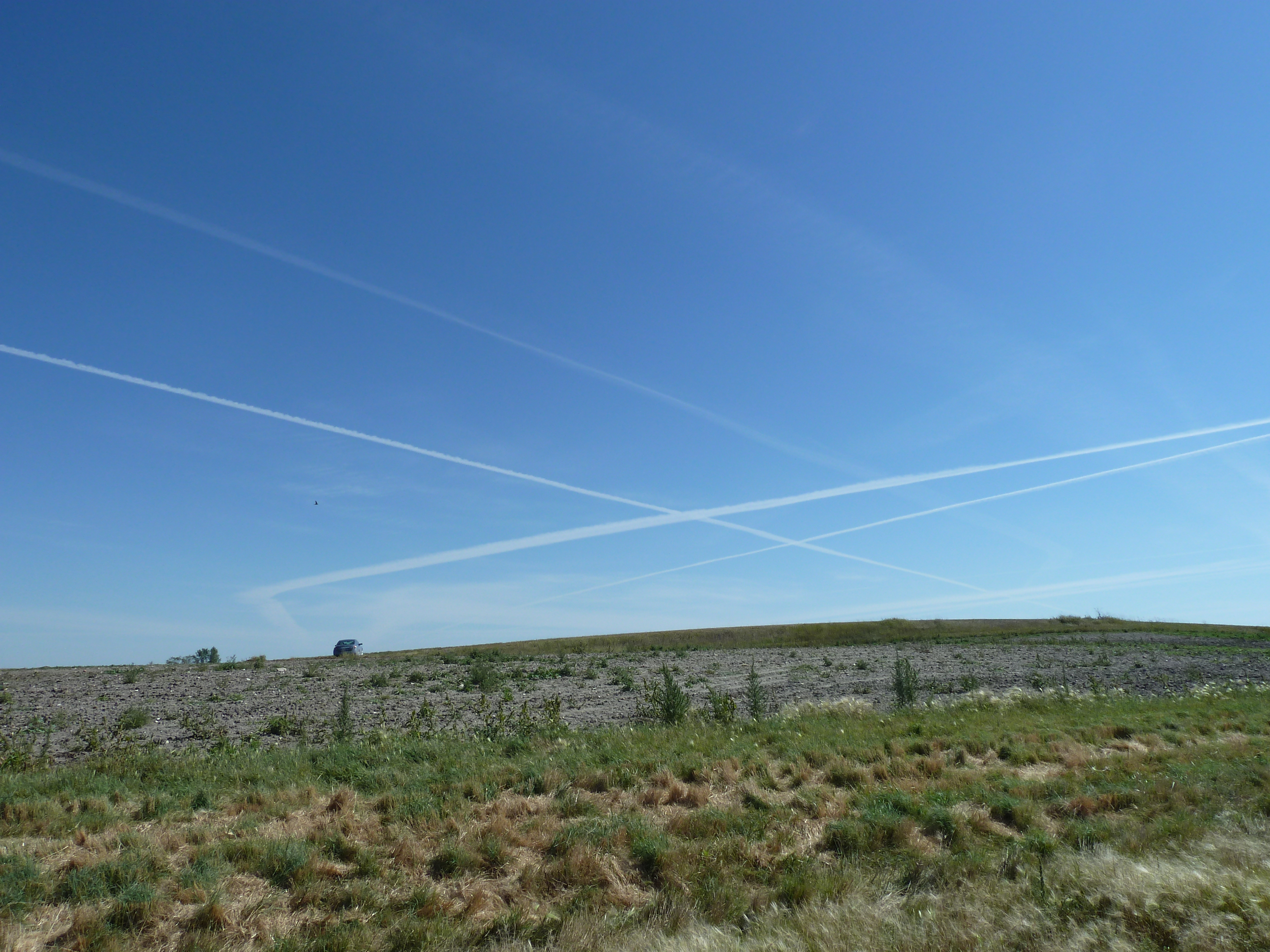
Contrails over North Dakota

Sympetrum costiferum
Once a Home
Edmore, North Dakota
Edmore, North Dakota
Edmore, North Dakota
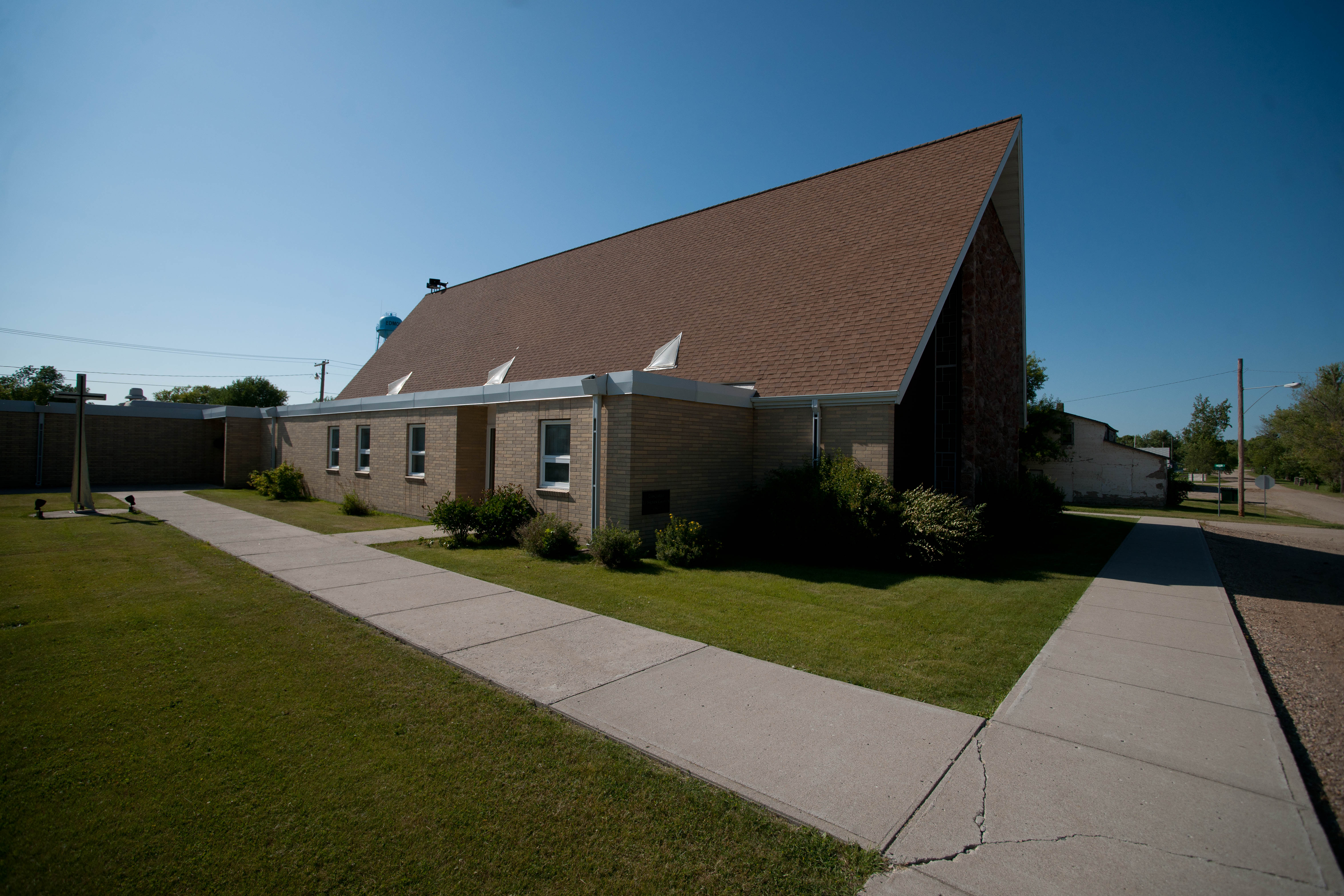
Edmore, North Dakota
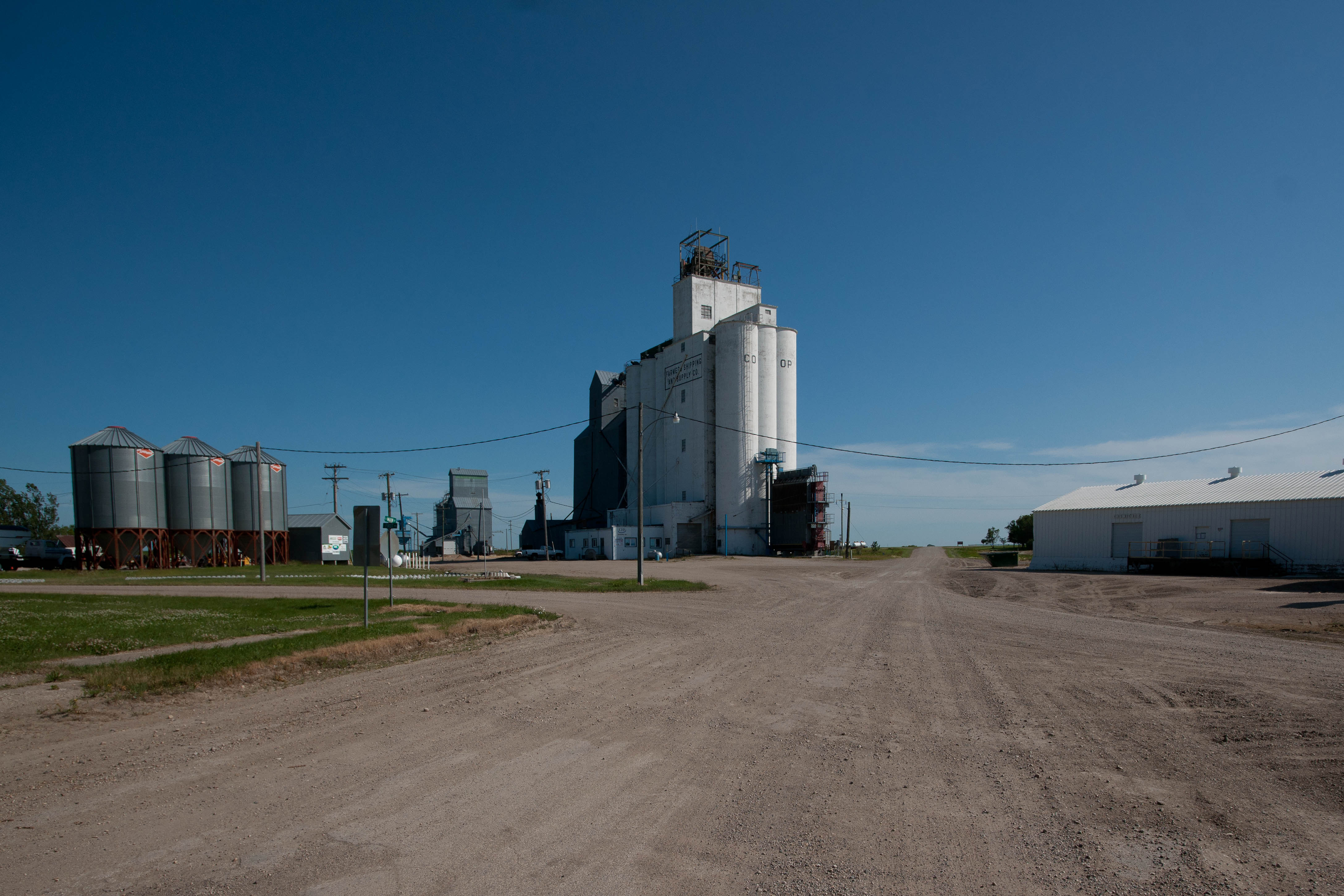
Edmore, North Dakota
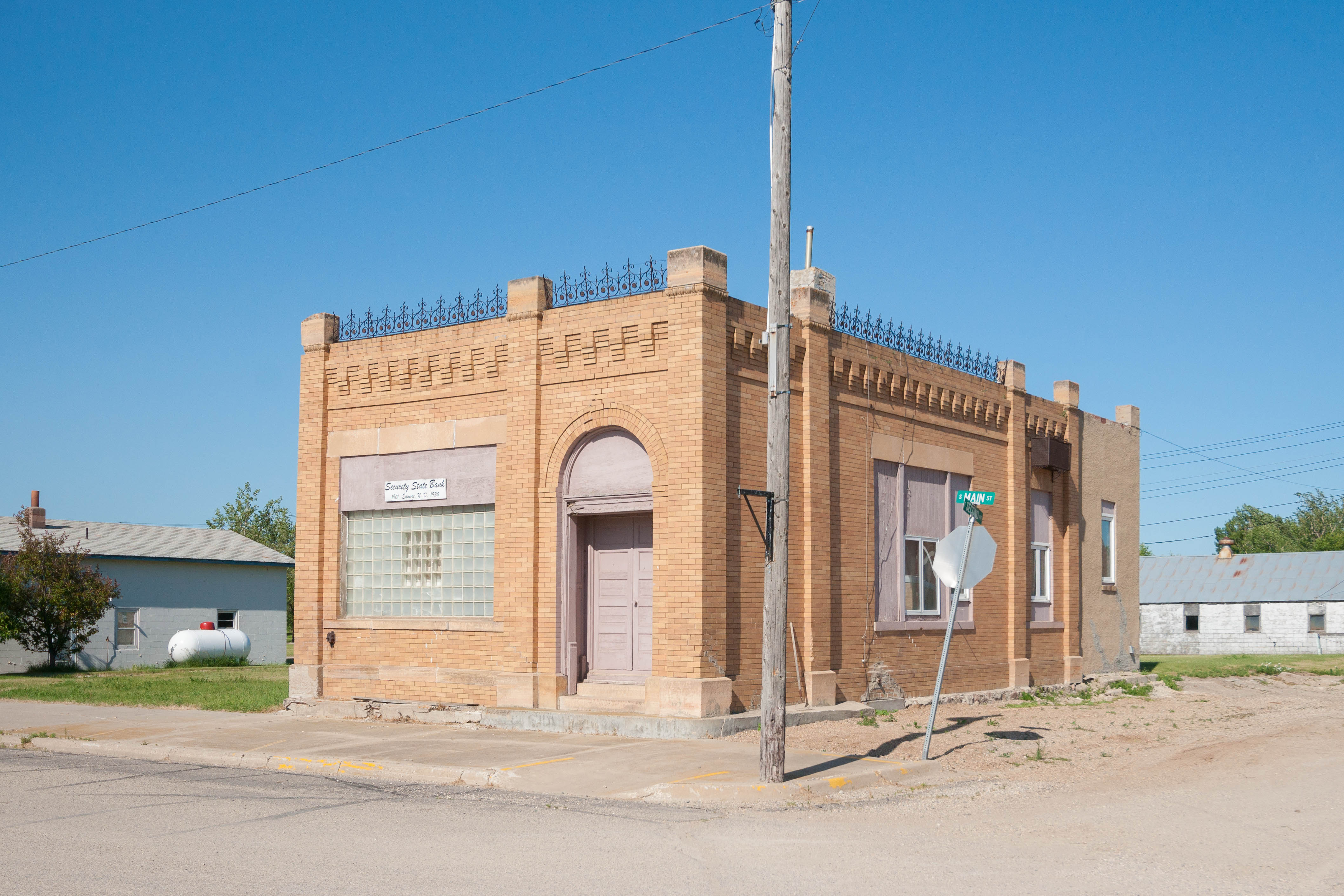
Edmore, North Dakota
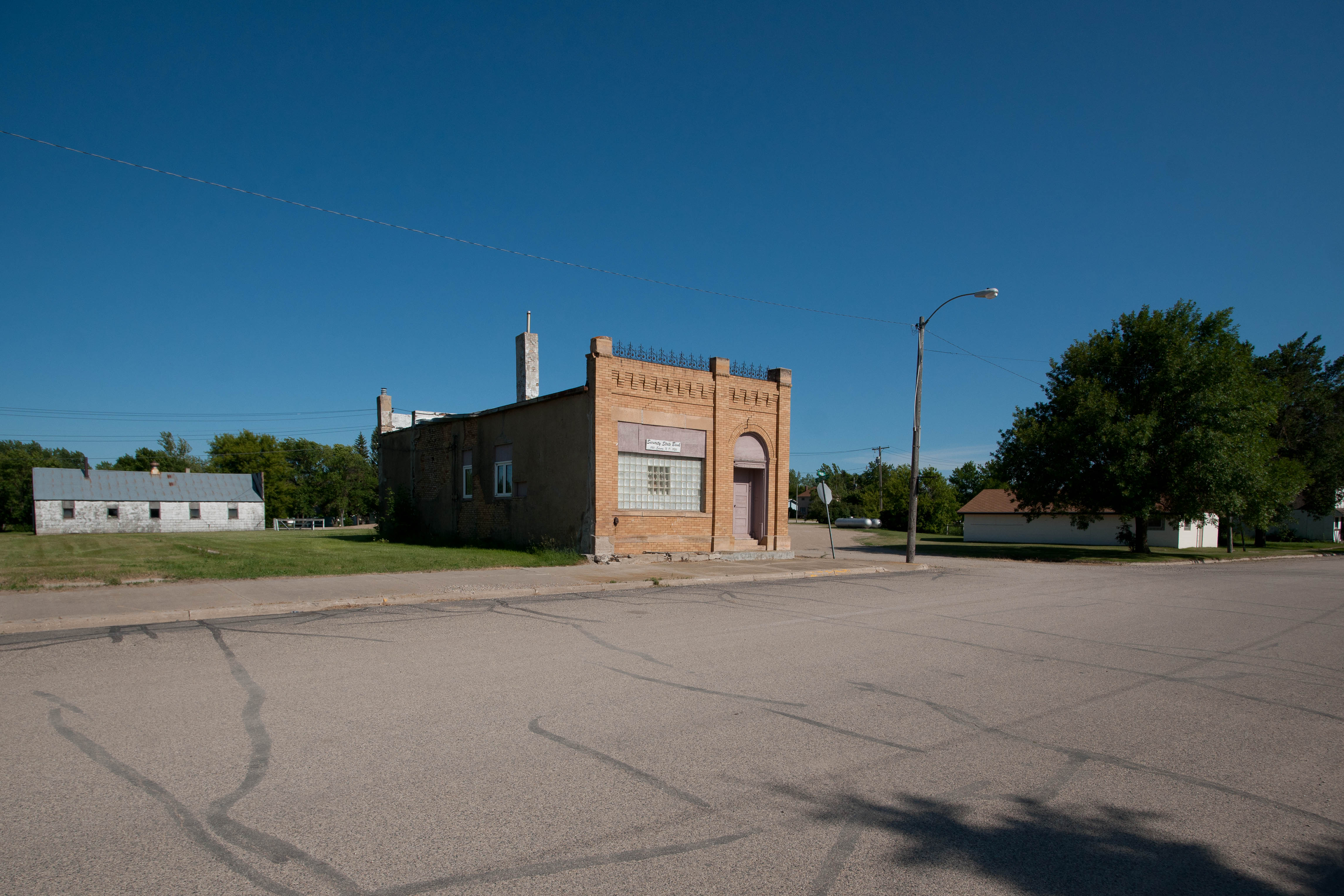
Edmore, North Dakota
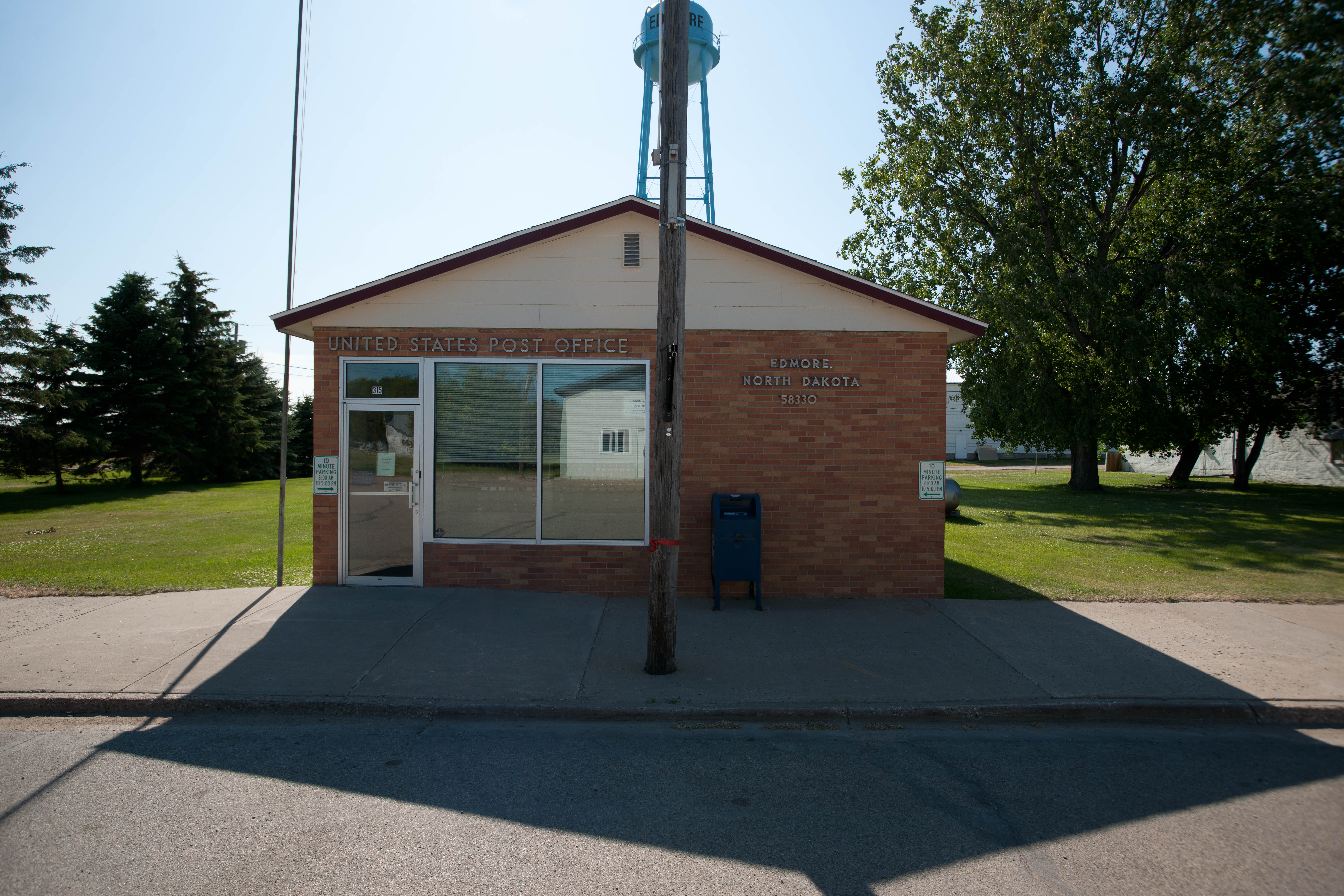
Edmore, North Dakota
Topographic Map of Lawton, ND, USA
Find elevation by address:

Places in Lawton, ND, USA:
Places near Lawton, ND, USA:
Main St, Lawton, ND, USA
Edmore, ND, USA
Nekoma
Main St, Nekoma, ND, USA
North Dakota 35
Langdon
2564 49th St Ne
Langdon, ND, USA
Plymouth
Walsh County
Park River
Vang
Hope
Pisek
Rushford
Dale Ave, Hoople, ND, USA
1030 Dale Ave
Glenwood
14158 67th St Ne
Fertile
Recent Searches:
- Elevation of Corso Fratelli Cairoli, 35, Macerata MC, Italy
- Elevation of Tallevast Rd, Sarasota, FL, USA
- Elevation of 4th St E, Sonoma, CA, USA
- Elevation of Black Hollow Rd, Pennsdale, PA, USA
- Elevation of Oakland Ave, Williamsport, PA, USA
- Elevation of Pedrógão Grande, Portugal
- Elevation of Klee Dr, Martinsburg, WV, USA
- Elevation of Via Roma, Pieranica CR, Italy
- Elevation of Tavkvetili Mountain, Georgia
- Elevation of Hartfords Bluff Cir, Mt Pleasant, SC, USA