Elevation of Lawrence Township, MI, USA
Location: United States > Michigan > Van Buren County >
Longitude: -86.0325629
Latitude: 42.1875554
Elevation: 232m / 761feet
Barometric Pressure: 0KPa
Related Photos:
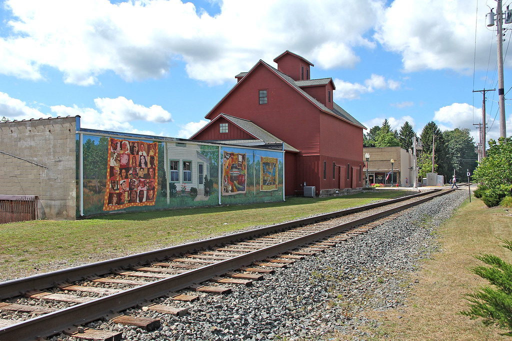
Bangor Tracks

Side View of Van Buren Courthouse

snowy Amtrak
side view

Hipstamatic really is cool...

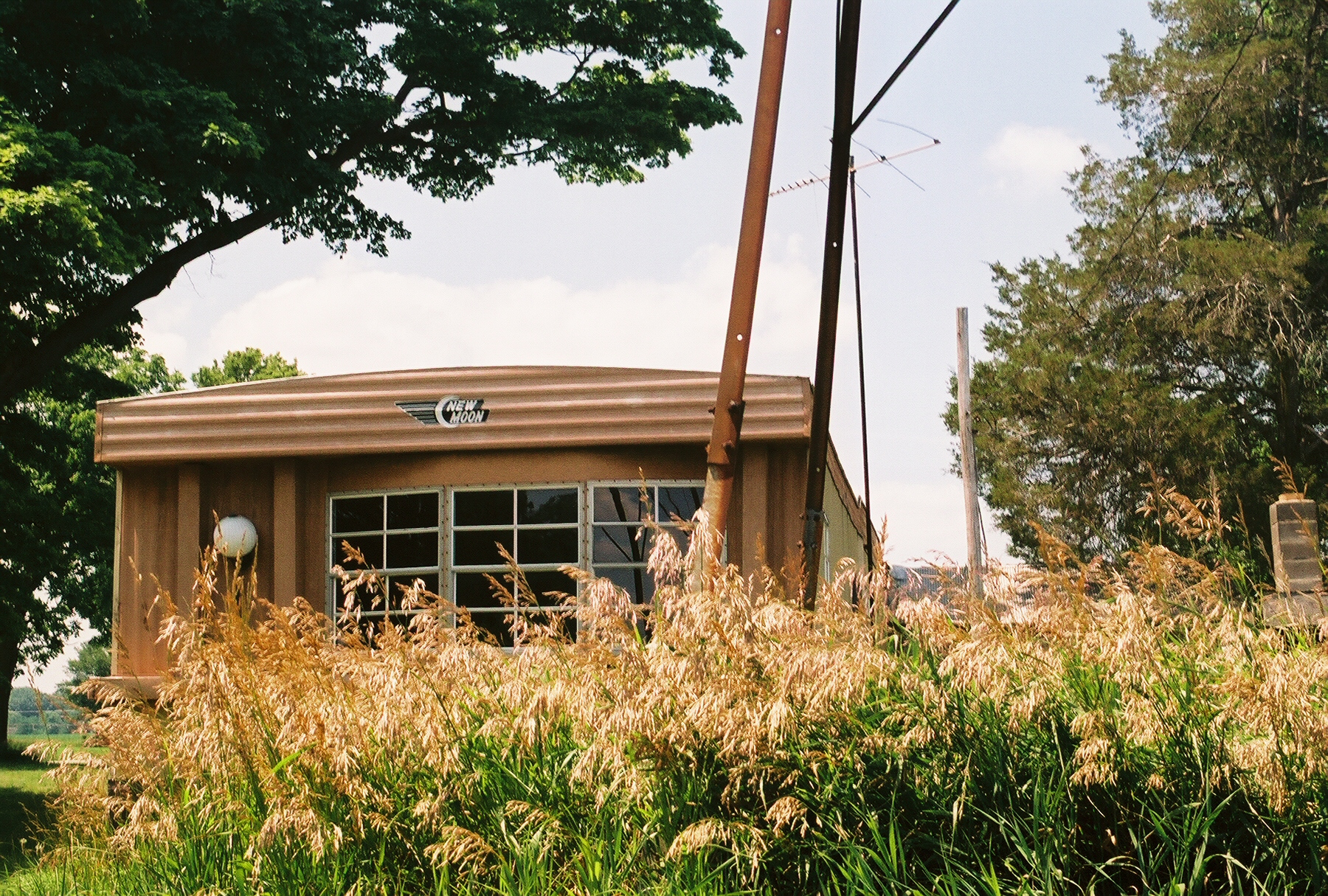
Somebody's Living Room

Wolf Lake State Fish Hatchery

Impoundment restroration

On The Ground

Chamberlin Cemetery Sunset.

Clouds over Michigan

Road in the Fall
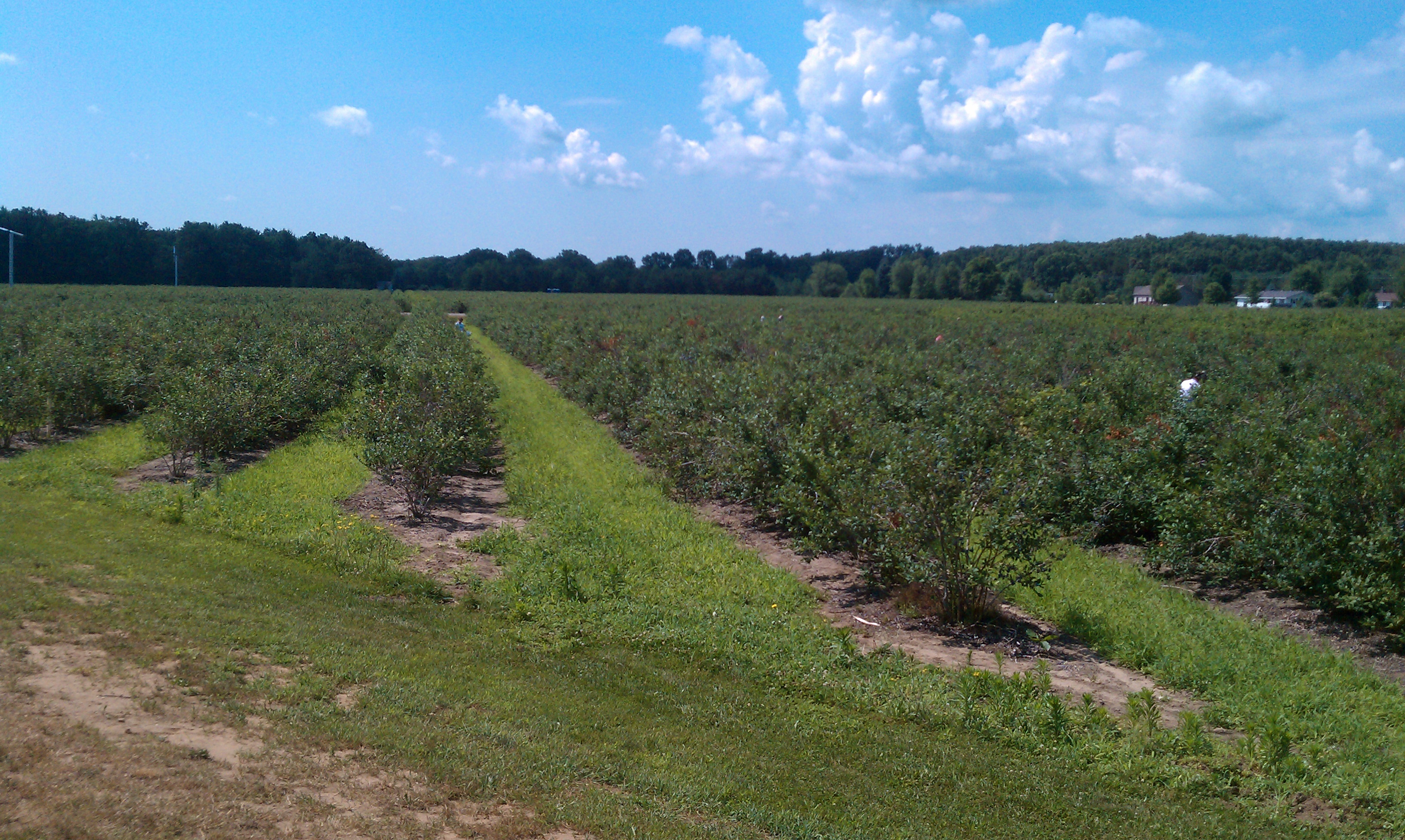
Pickin' Blueberries
Topographic Map of Lawrence Township, MI, USA
Find elevation by address:

Places in Lawrence Township, MI, USA:
Places near Lawrence Township, MI, USA:
47563 60th Ave
Van Buren County
W Red Arrow Hwy, Paw Paw, MI, USA
Paw Paw Township
47563 60th St
2 E Main St, Hartford, MI, USA
Hartford
701 Hazen St
Paw Paw
36083 Valley Dr
Bangor Township
Bangor
Columbia Township
69281 42nd Ave
8th Ave, Bloomingdale, MI, USA
52563 Co Rd 388
Phoenix St, Grand Junction, MI, USA
Grand Junction
Antwerp Township
Gobles
Recent Searches:
- Elevation map of Litang County, Sichuan, China
- Elevation map of Madoi County, Qinghai, China
- Elevation of 3314, Ohio State Route 114, Payne, Paulding County, Ohio, 45880, USA
- Elevation of Sarahills Drive, Saratoga, Santa Clara County, California, 95070, USA
- Elevation of Town of Bombay, Franklin County, New York, USA
- Elevation of 9, Convent Lane, Center Moriches, Suffolk County, New York, 11934, USA
- Elevation of Saint Angelas Convent, 9, Convent Lane, Center Moriches, Suffolk County, New York, 11934, USA
- Elevation of 131st Street Southwest, Mukilteo, Snohomish County, Washington, 98275, USA
- Elevation of 304, Harrison Road, Naples, Cumberland County, Maine, 04055, USA
- Elevation of 2362, Timber Ridge Road, Harrisburg, Cabarrus County, North Carolina, 28075, USA
- Elevation of Ridge Road, Marshalltown, Marshall County, Iowa, 50158, USA
- Elevation of 2459, Misty Shadows Drive, Pigeon Forge, Sevier County, Tennessee, 37862, USA
- Elevation of 8043, Brightwater Way, Spring Hill, Williamson County, Tennessee, 37179, USA
- Elevation of Starkweather Road, San Luis, Costilla County, Colorado, 81152, USA
- Elevation of 5277, Woodside Drive, Baton Rouge, East Baton Rouge Parish, Louisiana, 70808, USA
- Elevation of 1139, Curtin Street, Shepherd Park Plaza, Houston, Harris County, Texas, 77018, USA
- Elevation of 136, Sellers Lane, Repton, Monroe County, Alabama, 36475, USA
- Elevation of 12914, Elmington Drive, Lakewood Forest, Houston, Harris County, Texas, 77429, USA
- Elevation of 417, Camelot Drive, Statesville, Iredell County, North Carolina, 28625, USA
- Elevation of 5792, Wildridge Road, Avon, Eagle County, Colorado, 81620, USA