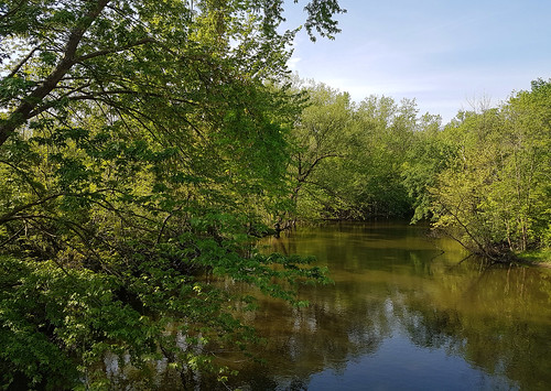
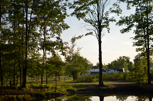
Elevation of 60th St, Lawrence, MI, USA
Location: United States > Michigan > Van Buren County > Bangor Township >
Longitude: -86.127116
Latitude: 42.2457655
Elevation: 223m / 732feet
Barometric Pressure: 99KPa
Related Photos:
Topographic Map of 60th St, Lawrence, MI, USA
Find elevation by address:

Places near 60th St, Lawrence, MI, USA:
Bangor Township
2 E Main St, Hartford, MI, USA
Hartford
Bangor
69281 42nd Ave
Lawrence Township
Van Buren County
47563 60th Ave
Geneva Township
Covert Township
W Red Arrow Hwy, Paw Paw, MI, USA
Columbia Township
Grand Junction
Phoenix St, Grand Junction, MI, USA
15581 73rd St
52563 Co Rd 388
67th St, South Haven, MI, USA
8th Ave, Bloomingdale, MI, USA
308 58th St
308 58th St
Recent Searches:
- Elevation of Corso Fratelli Cairoli, 35, Macerata MC, Italy
- Elevation of Tallevast Rd, Sarasota, FL, USA
- Elevation of 4th St E, Sonoma, CA, USA
- Elevation of Black Hollow Rd, Pennsdale, PA, USA
- Elevation of Oakland Ave, Williamsport, PA, USA
- Elevation of Pedrógão Grande, Portugal
- Elevation of Klee Dr, Martinsburg, WV, USA
- Elevation of Via Roma, Pieranica CR, Italy
- Elevation of Tavkvetili Mountain, Georgia
- Elevation of Hartfords Bluff Cir, Mt Pleasant, SC, USA


