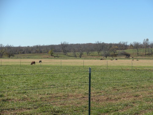
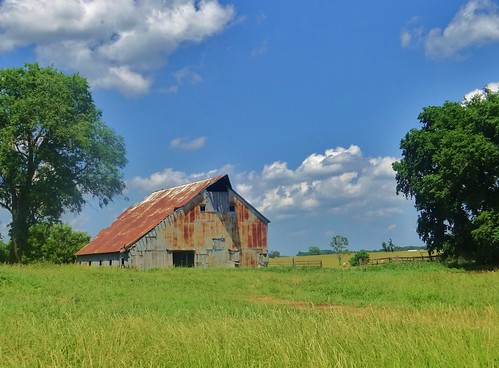
Elevation of Lawrence, Mt Vernon, MO, USA
Location: United States > Missouri > Lawrence County >
Longitude: -93.860259
Latitude: 37.1040268
Elevation: 343m / 1125feet
Barometric Pressure: 97KPa
Related Photos:
Topographic Map of Lawrence, Mt Vernon, MO, USA
Find elevation by address:

Places near Lawrence, Mt Vernon, MO, USA:
1st St, Mt Vernon, MO, USA
Hoberg
Hoberg Township
Lawrence County
Rte 66, Miller, MO, USA
Robert E. Talbot Conservation Area
S Holmes St, Miller, MO, USA
Miller
Lincoln Township
Verona
Spring River
21359 State Hwy Pp
Aurora Township
Lawrence, Verona, MO, USA
Lawrence, Miller, MO, USA
Grace Independent Methodist Church
N Central Ave, Monett, MO, USA
Monett
220 N Elliott Ave
214 N Elliott Ave
Recent Searches:
- Elevation of Corso Fratelli Cairoli, 35, Macerata MC, Italy
- Elevation of Tallevast Rd, Sarasota, FL, USA
- Elevation of 4th St E, Sonoma, CA, USA
- Elevation of Black Hollow Rd, Pennsdale, PA, USA
- Elevation of Oakland Ave, Williamsport, PA, USA
- Elevation of Pedrógão Grande, Portugal
- Elevation of Klee Dr, Martinsburg, WV, USA
- Elevation of Via Roma, Pieranica CR, Italy
- Elevation of Tavkvetili Mountain, Georgia
- Elevation of Hartfords Bluff Cir, Mt Pleasant, SC, USA


