Elevation of Lawrence, Verona, MO, USA
Location: United States > Missouri > Lawrence County > Spring River > Verona >
Longitude: -93.846028
Latitude: 36.934529
Elevation: 445m / 1460feet
Barometric Pressure: 96KPa
Elevation Map:
Satellite Map:
Related Photos:
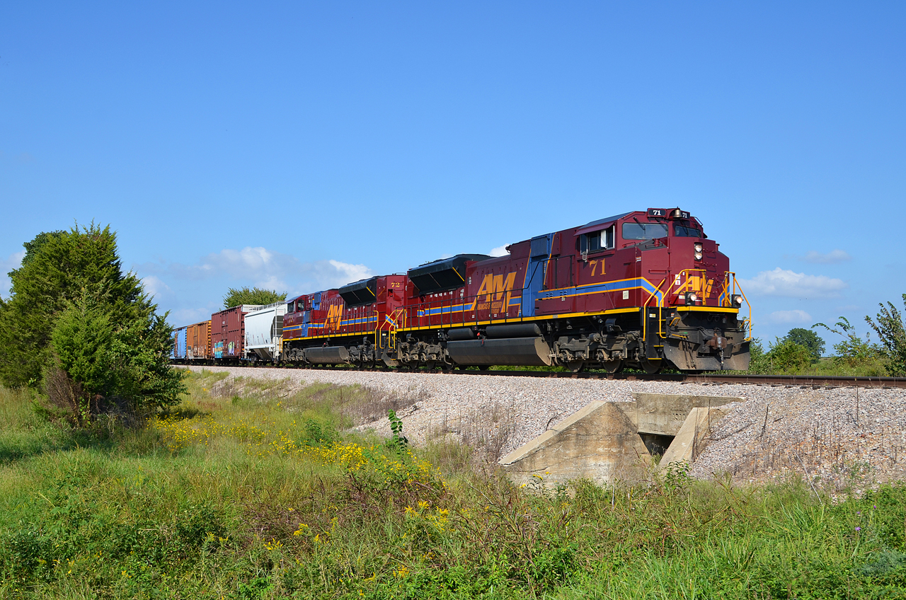
A&M SD70ACe-71, 72 S/B MT S. of Monett, MO.

SW Missouri Sunset
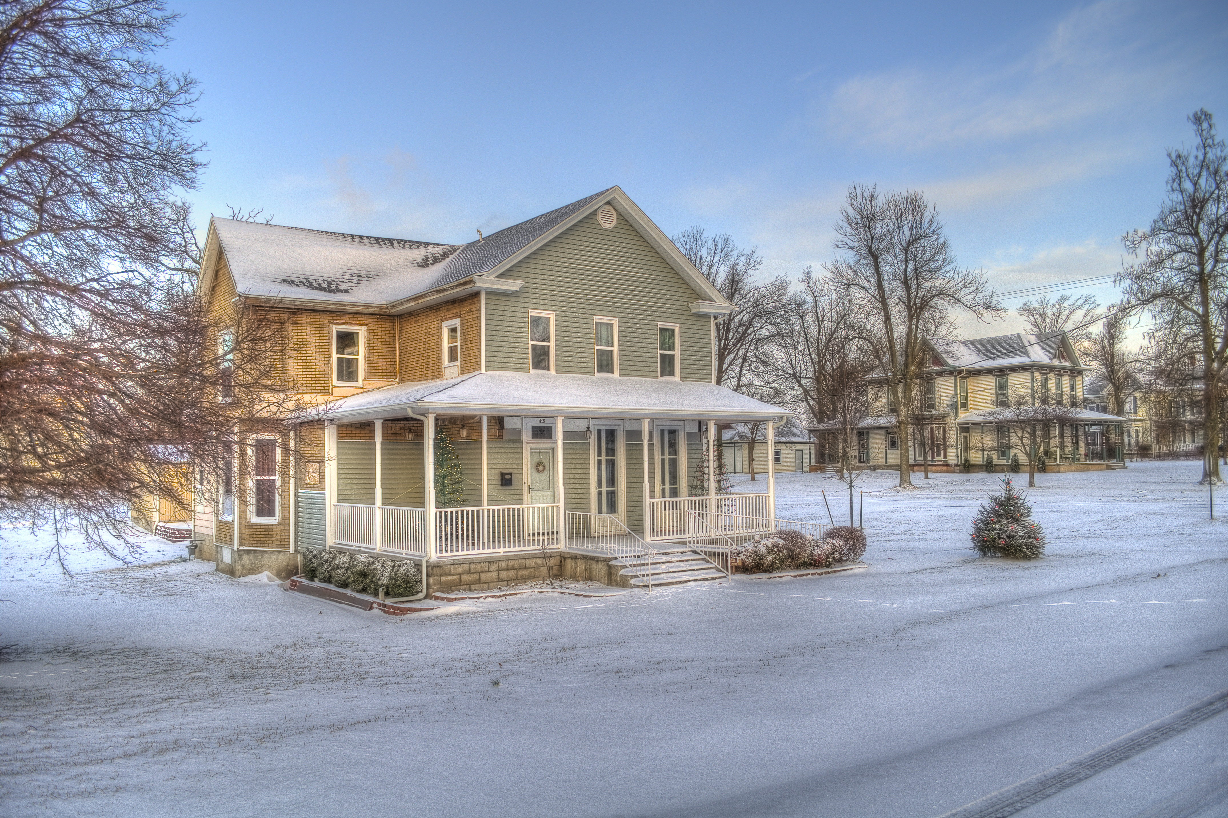
After the Snow

Flat Creek 2080-Side View

Christmas Bedroom
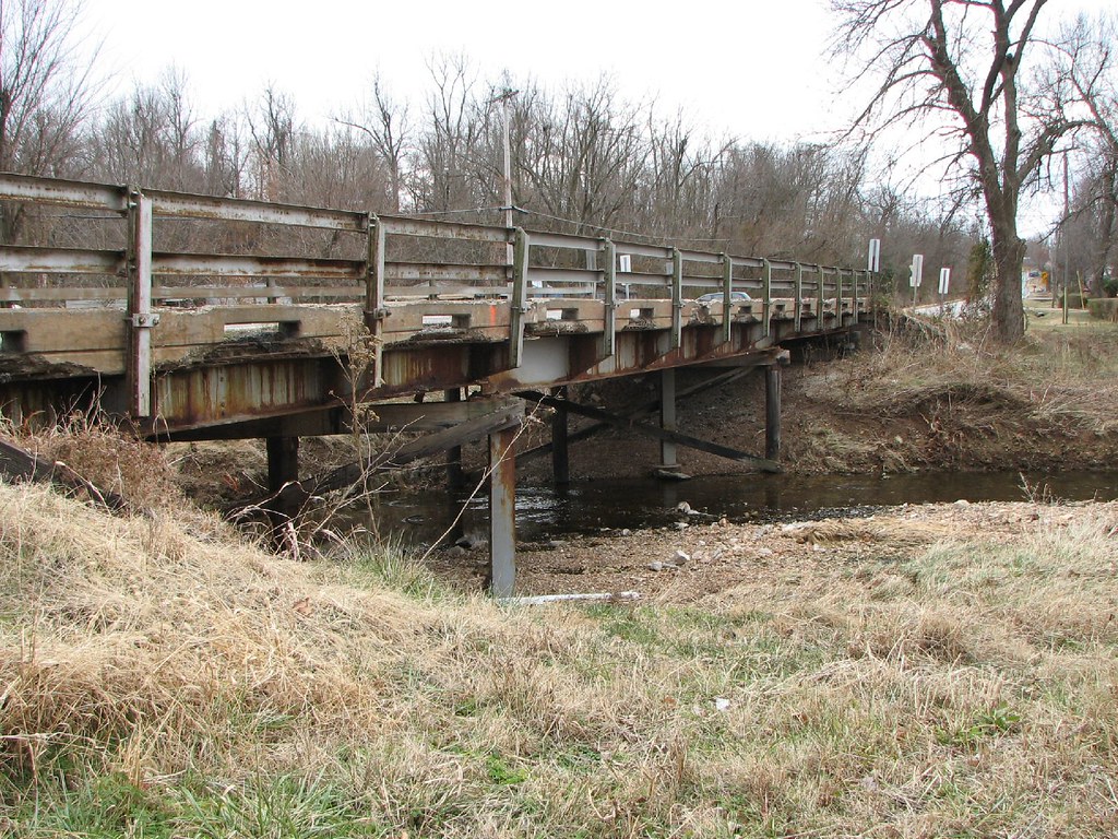
Hudson Creek-Side View

View from the bookstore
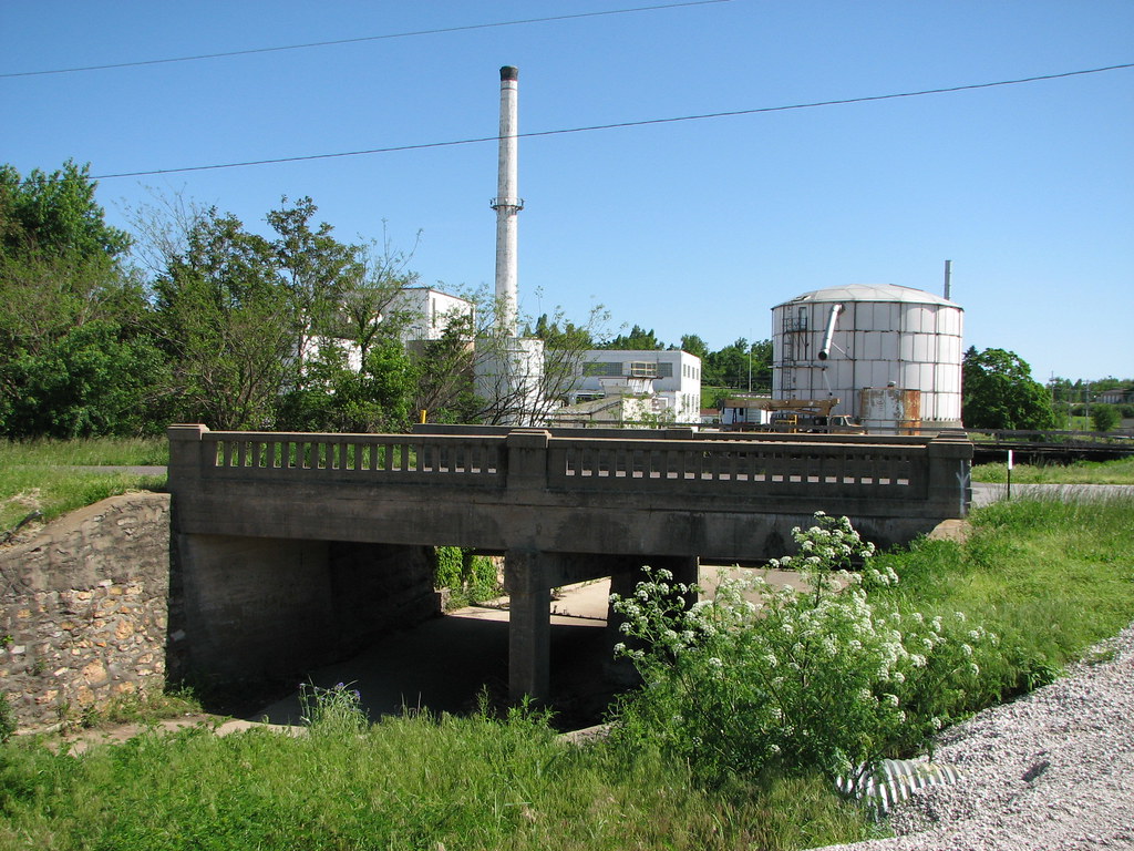
Clear Creek-From South
Clear Creek-Oblique View
Kelly Creek-Side View
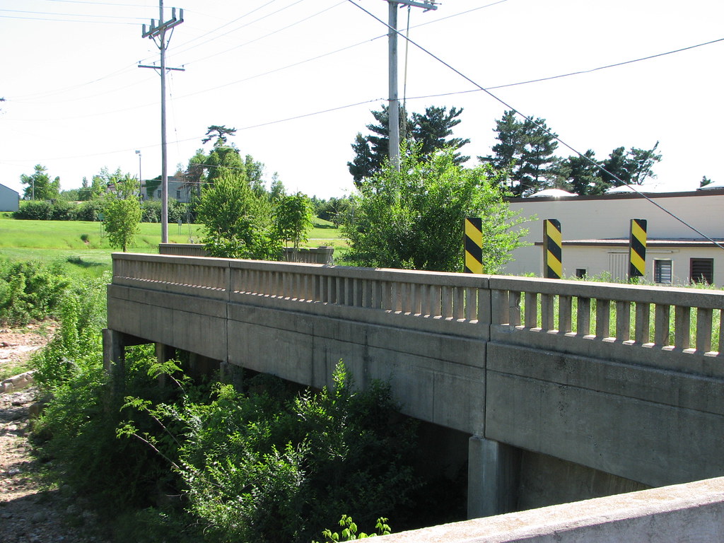
Center Creek-Deck View
Center Creek-Side View

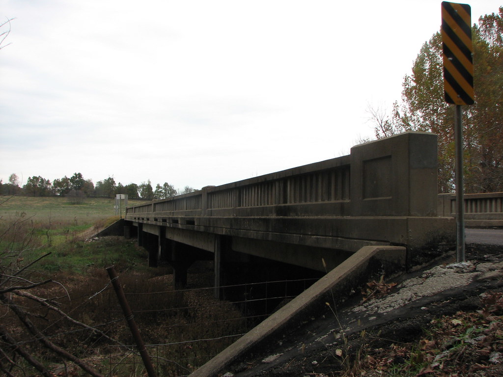
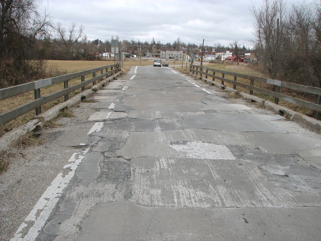
Missouri Bridge

A Snail
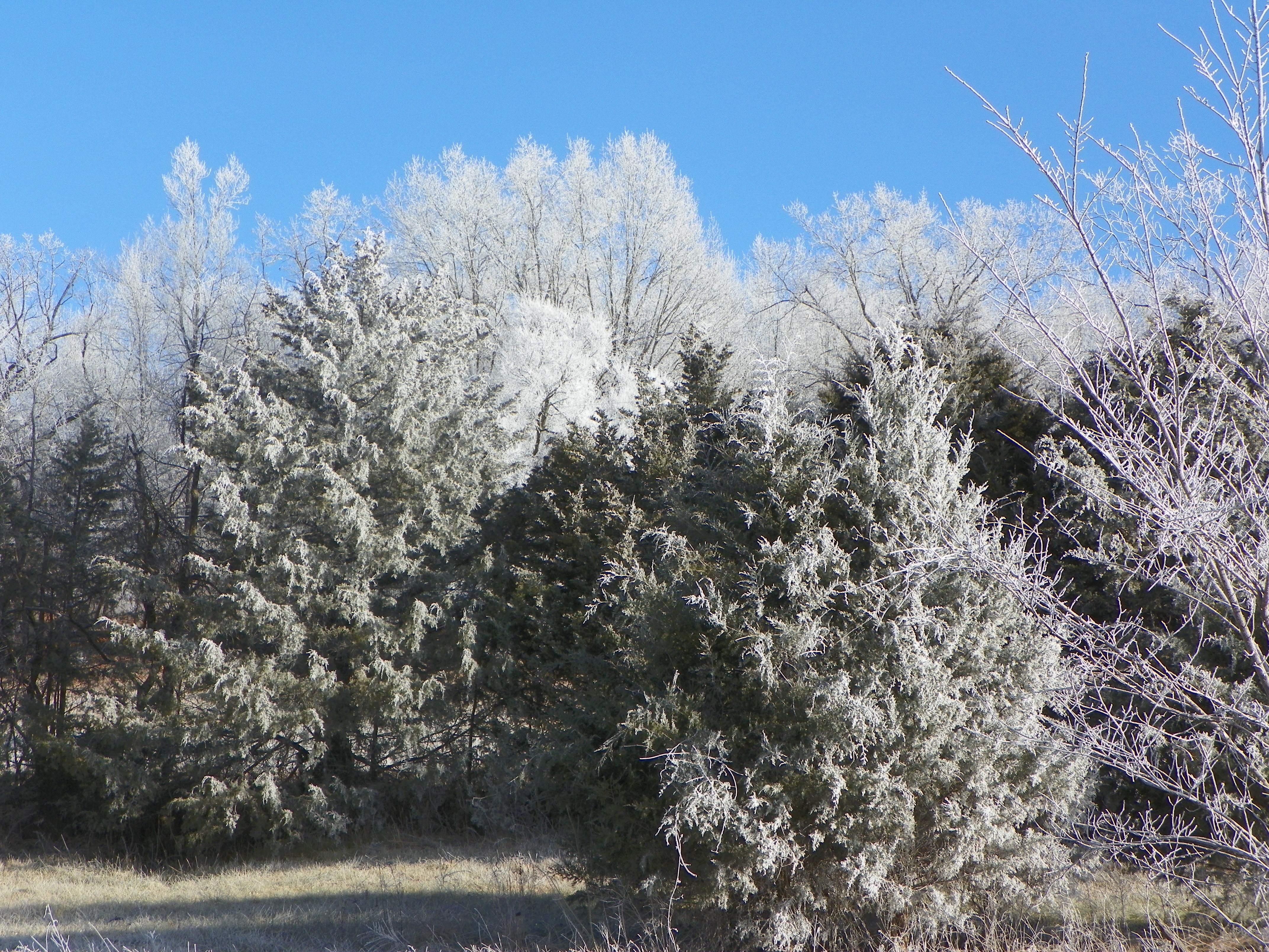
Frosty winter day
tour de monett
Topographic Map of Lawrence, Verona, MO, USA
Find elevation by address:

Places near Lawrence, Verona, MO, USA:
Spring River
Verona
Hoberg Township
Aurora
198 Mo-265
Hoberg
1st St, Mt Vernon, MO, USA
200 N Elliott Ave
208 N Elliott Ave
210 N Elliott Ave
212 N Elliott Ave
214 N Elliott Ave
220 N Elliott Ave
Aurora Township
Sunset Drive In Theatre
Alpine Wood Products
Lawrence, Aurora, MO, USA
Buck Prairie Township
Marionville
West Polk Township
Recent Searches:
- Elevation of Corso Fratelli Cairoli, 35, Macerata MC, Italy
- Elevation of Tallevast Rd, Sarasota, FL, USA
- Elevation of 4th St E, Sonoma, CA, USA
- Elevation of Black Hollow Rd, Pennsdale, PA, USA
- Elevation of Oakland Ave, Williamsport, PA, USA
- Elevation of Pedrógão Grande, Portugal
- Elevation of Klee Dr, Martinsburg, WV, USA
- Elevation of Via Roma, Pieranica CR, Italy
- Elevation of Tavkvetili Mountain, Georgia
- Elevation of Hartfords Bluff Cir, Mt Pleasant, SC, USA