Elevation of Lawrence County, IL, USA
Location: United States > Illinois >
Longitude: -87.7763333
Latitude: 38.7157534
Elevation: 155m / 509feet
Barometric Pressure: 0KPa
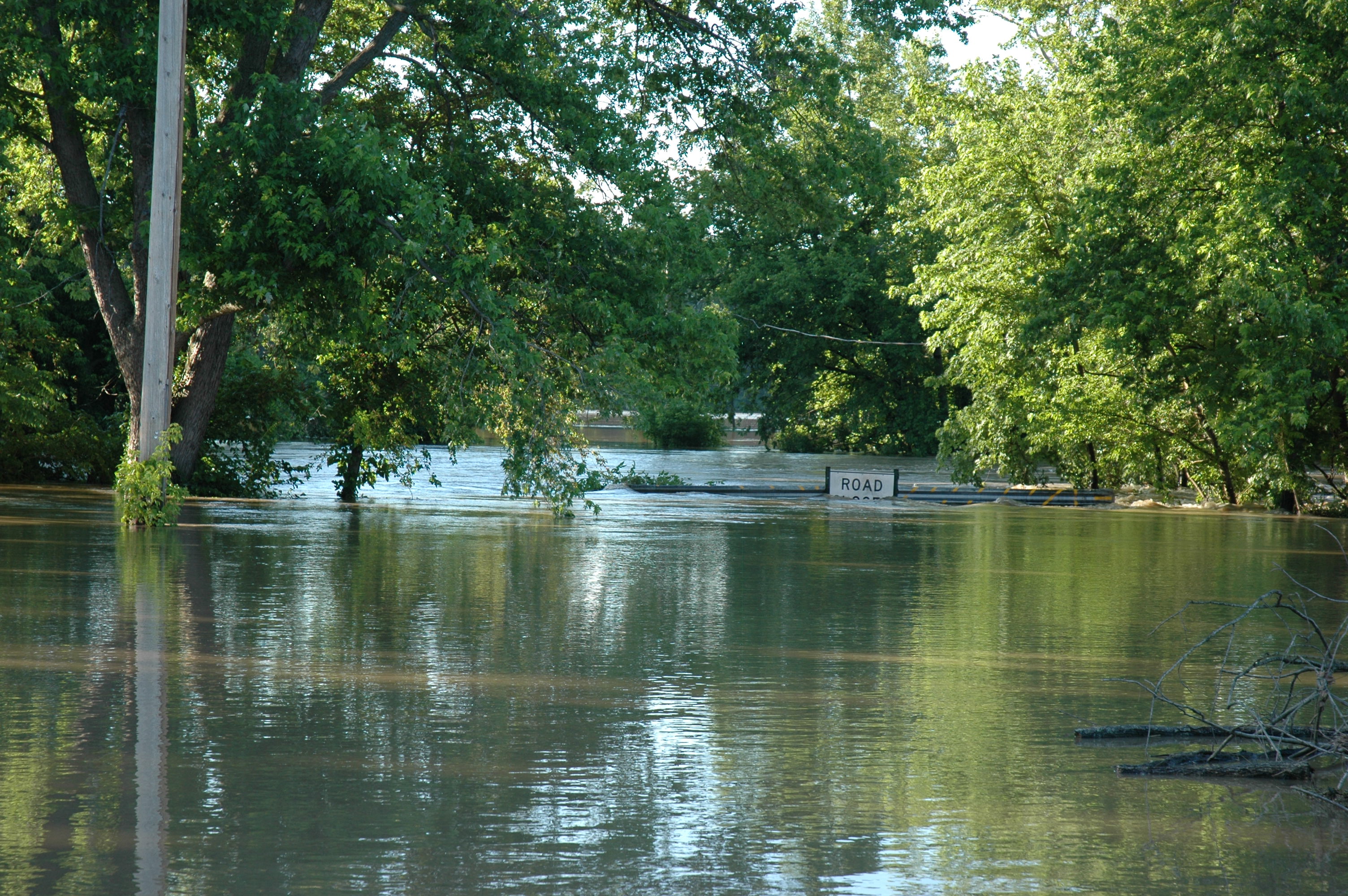
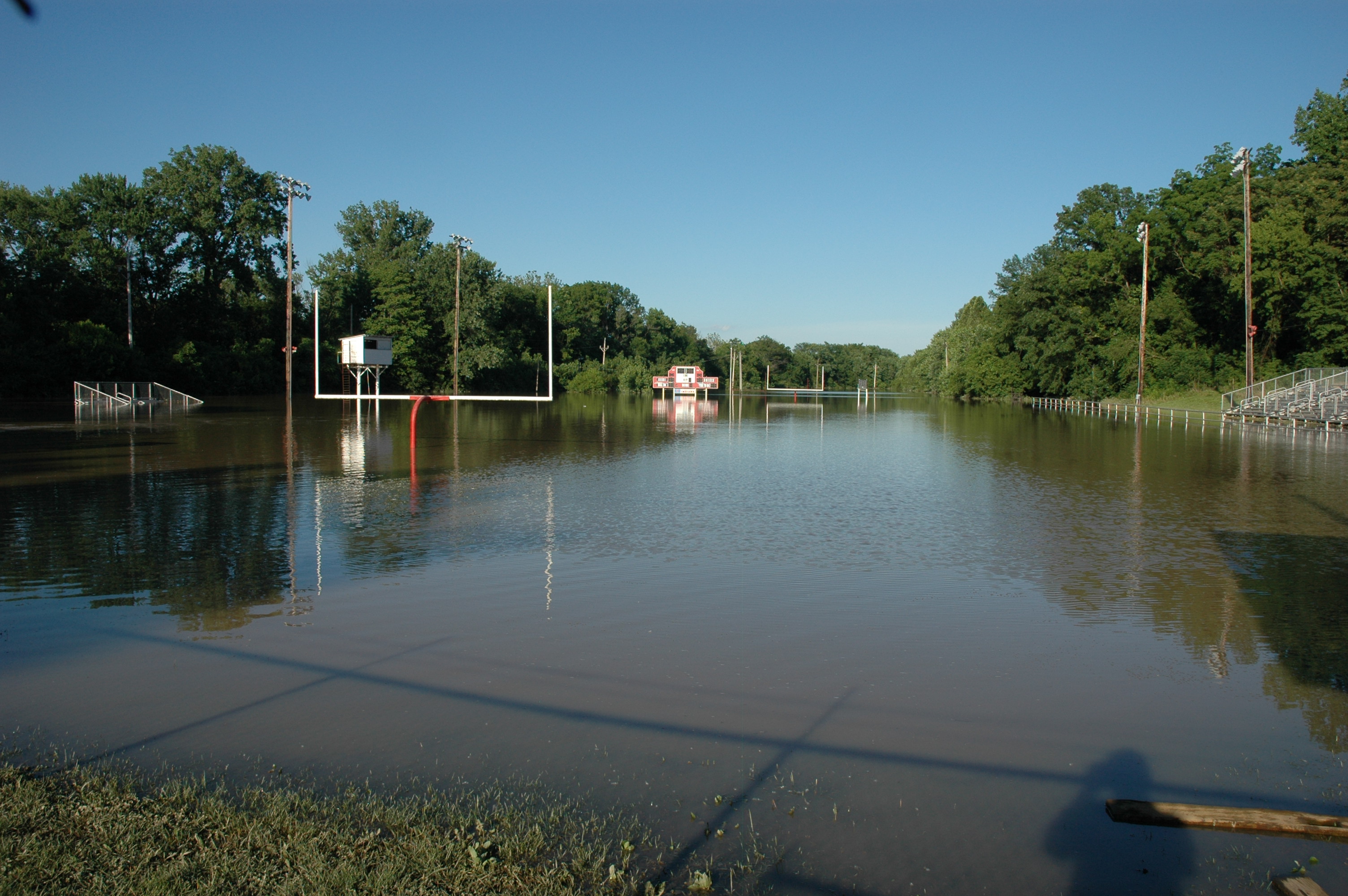
Related Photos:

Sumner, Illinois

flooded field
Dave's Pictures 267

Golden Rule garden

boat on the highway

flooded field

campo inundado

someone's front yard

flooded plains
Dave's Pictures 266
Topographic Map of Lawrence County, IL, USA
Find elevation by address:

Places in Lawrence County, IL, USA:
Places near Lawrence County, IL, USA:
Bridgeport, IL, USA
Sumner
N Christy Ave, Sumner, IL, USA
Lawrenceville
Christy Township
Lawrence Township
N, St Francisville, IL, USA
Denison Township
Saint Francisville
W Greentree Rd, Vincennes, IN, USA
E th Ave, Oblong, IL, USA
Vincennes Township
Martin Township
Wabash River Rd, Decker, IN, USA
W Bulldog Rd, Vincennes, IN, USA
Bandmill Rd, Vincennes, IN, USA
Excise Police District 5
Vincennes
Montgomery Township
17150 E 500th Ave
Recent Searches:
- Elevation of 116, Beartown Road, Underhill, Chittenden County, Vermont, 05489, USA
- Elevation of Window Rock, Colfax County, New Mexico, 87714, USA
- Elevation of 4807, Rosecroft Street, Kempsville Gardens, Virginia Beach, Virginia, 23464, USA
- Elevation map of Matawinie, Quebec, Canada
- Elevation of Sainte-Émélie-de-l'Énergie, Matawinie, Quebec, Canada
- Elevation of Rue du Pont, Sainte-Émélie-de-l'Énergie, Matawinie, Quebec, J0K2K0, Canada
- Elevation of 8, Rue de Bécancour, Blainville, Thérèse-De Blainville, Quebec, J7B1N2, Canada
- Elevation of Wilmot Court North, 163, University Avenue West, Northdale, Waterloo, Region of Waterloo, Ontario, N2L6B6, Canada
- Elevation map of Panamá Province, Panama
- Elevation of Balboa, Panamá Province, Panama
- Elevation of San Miguel, Balboa, Panamá Province, Panama
- Elevation of Isla Gibraleón, San Miguel, Balboa, Panamá Province, Panama
- Elevation of 4655, Krischke Road, Schulenburg, Fayette County, Texas, 78956, USA
- Elevation of Carnegie Avenue, Downtown Cleveland, Cleveland, Cuyahoga County, Ohio, 44115, USA
- Elevation of Walhonding, Coshocton County, Ohio, USA
- Elevation of Clifton Down, Clifton, Bristol, City of Bristol, England, BS8 3HU, United Kingdom
- Elevation map of Auvergne-Rhône-Alpes, France
- Elevation map of Upper Savoy, Auvergne-Rhône-Alpes, France
- Elevation of Chamonix-Mont-Blanc, Upper Savoy, Auvergne-Rhône-Alpes, France
- Elevation of 908, Northwood Drive, Bridge Field, Chesapeake, Virginia, 23322, USA