Elevation of E th Ave, Palestine, IL, USA
Location: United States > Illinois > Crawford County > Lamotte Township > Palestine >
Longitude: -87.631015
Latitude: 38.9273327
Elevation: 165m / 541feet
Barometric Pressure: 99KPa
Elevation Map:
Satellite Map:
Related Photos:

Illinois Central Railroad Depot & Passenger Train - Merom Station, Indiana - Circa 1906

Robinson, IL Dog 'n Suds drive-in

220 S Main, Palestine, IL

Allen Sanitarium #5

Office with view.

SAM_0638 merom bluff view

SAM_0639 merom bluff view

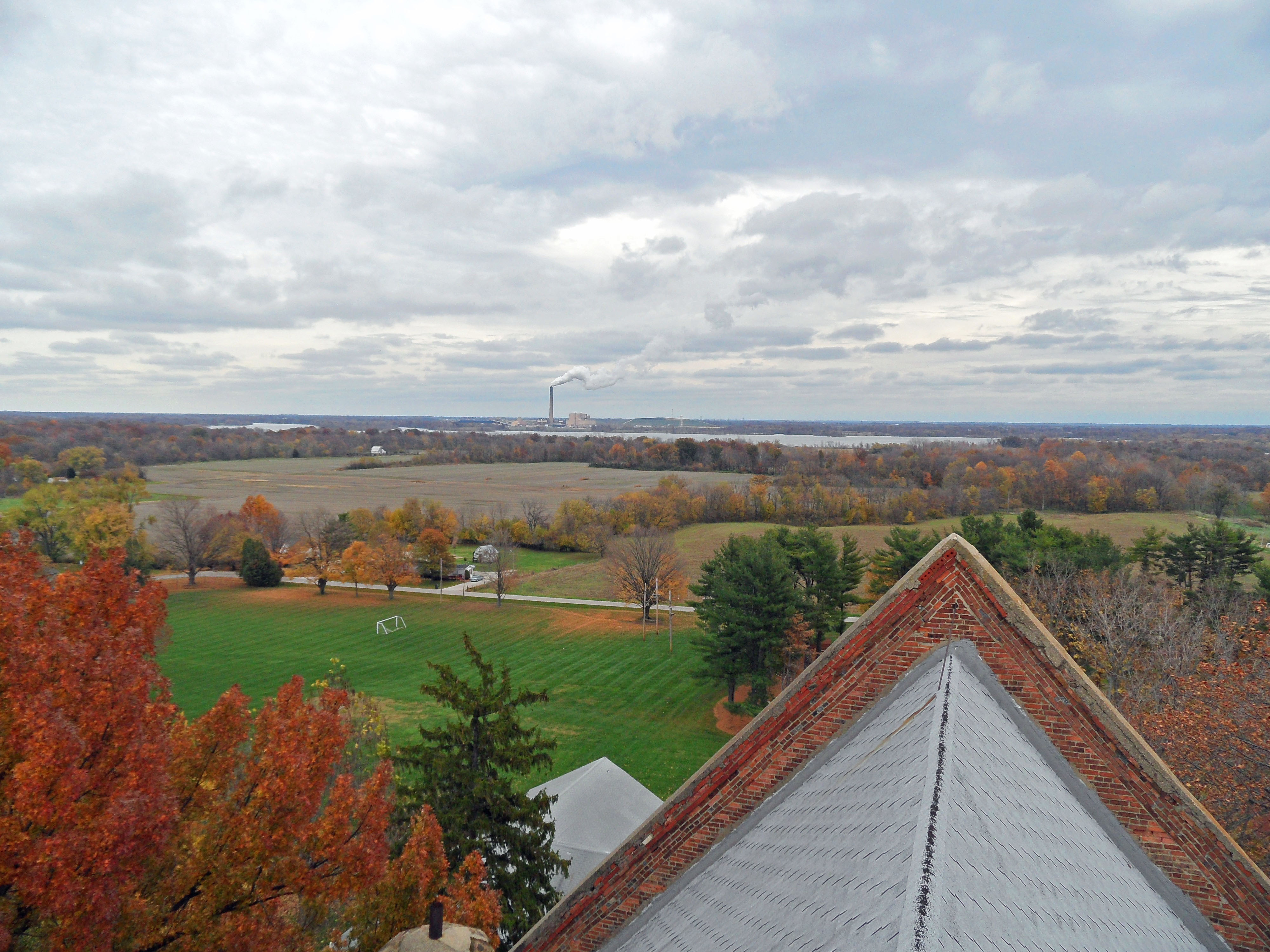
SAM_0698 view from dome catwalk

SAM_0692 view from dome catwalk
SAM_0696 view from dome catwalk
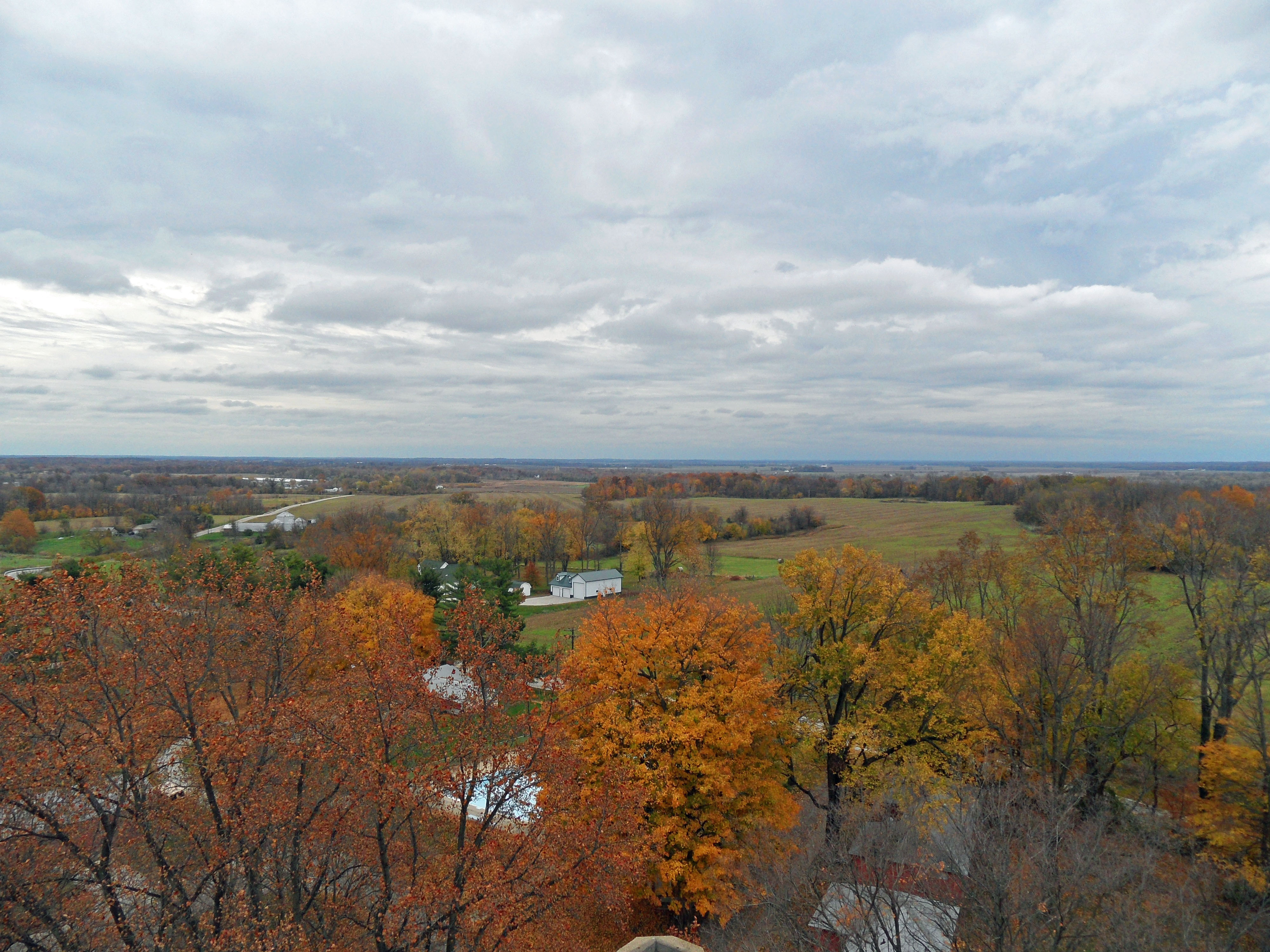
SAM_0694 view from dome catwalk

SAM_0695 view from dome catwalk

SAM_0699 view and chimney

SAM_0697 view from dome catwalk

Quail Creek Golf Course, Robinson, IL

Quail Creek Golf Course, Robinson, IL - Hole # 9

7UU 275 A
Topographic Map of E th Ave, Palestine, IL, USA
Find elevation by address:

Places near E th Ave, Palestine, IL, USA:
17500 E 500th Ave
Morea Cemetery
17583 E 500th Ave
Montgomery Township
N Main St, Palestine, IL, USA
Palestine
E th Ave, Palestine, IL, USA
Lamotte Township
South Marathon Avenue
Robinson Township
Robinson
S Merom Station Rd, Merom, IN, USA
Robinson High School
Merom Bluff
Merom
Gill Township
N Trimble Rd, Robinson, IL, USA
Busseron Township
S Main St, Hutsonville, IL, USA
Hutsonville
Recent Searches:
- Elevation of Corso Fratelli Cairoli, 35, Macerata MC, Italy
- Elevation of Tallevast Rd, Sarasota, FL, USA
- Elevation of 4th St E, Sonoma, CA, USA
- Elevation of Black Hollow Rd, Pennsdale, PA, USA
- Elevation of Oakland Ave, Williamsport, PA, USA
- Elevation of Pedrógão Grande, Portugal
- Elevation of Klee Dr, Martinsburg, WV, USA
- Elevation of Via Roma, Pieranica CR, Italy
- Elevation of Tavkvetili Mountain, Georgia
- Elevation of Hartfords Bluff Cir, Mt Pleasant, SC, USA