Elevation of Robinson, IL, USA
Location: United States > Illinois > Crawford County > Robinson Township >
Longitude: -87.739193
Latitude: 39.0053201
Elevation: 162m / 531feet
Barometric Pressure: 99KPa
Elevation Map:
Satellite Map:
Related Photos:
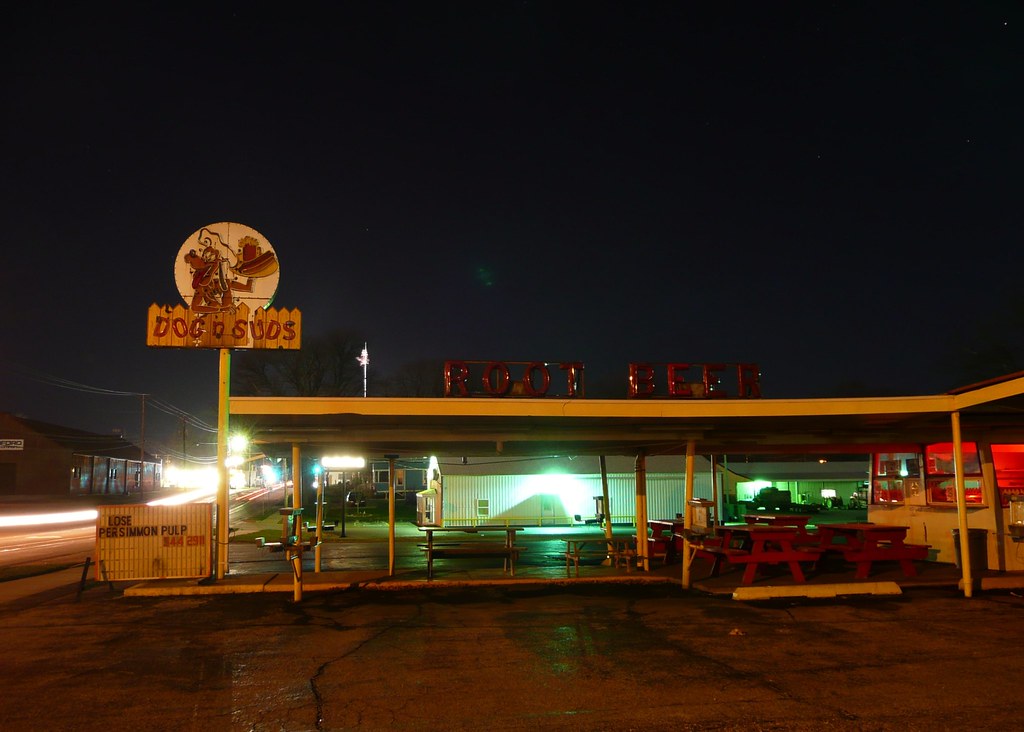
Robinson, IL Dog 'n Suds drive-in
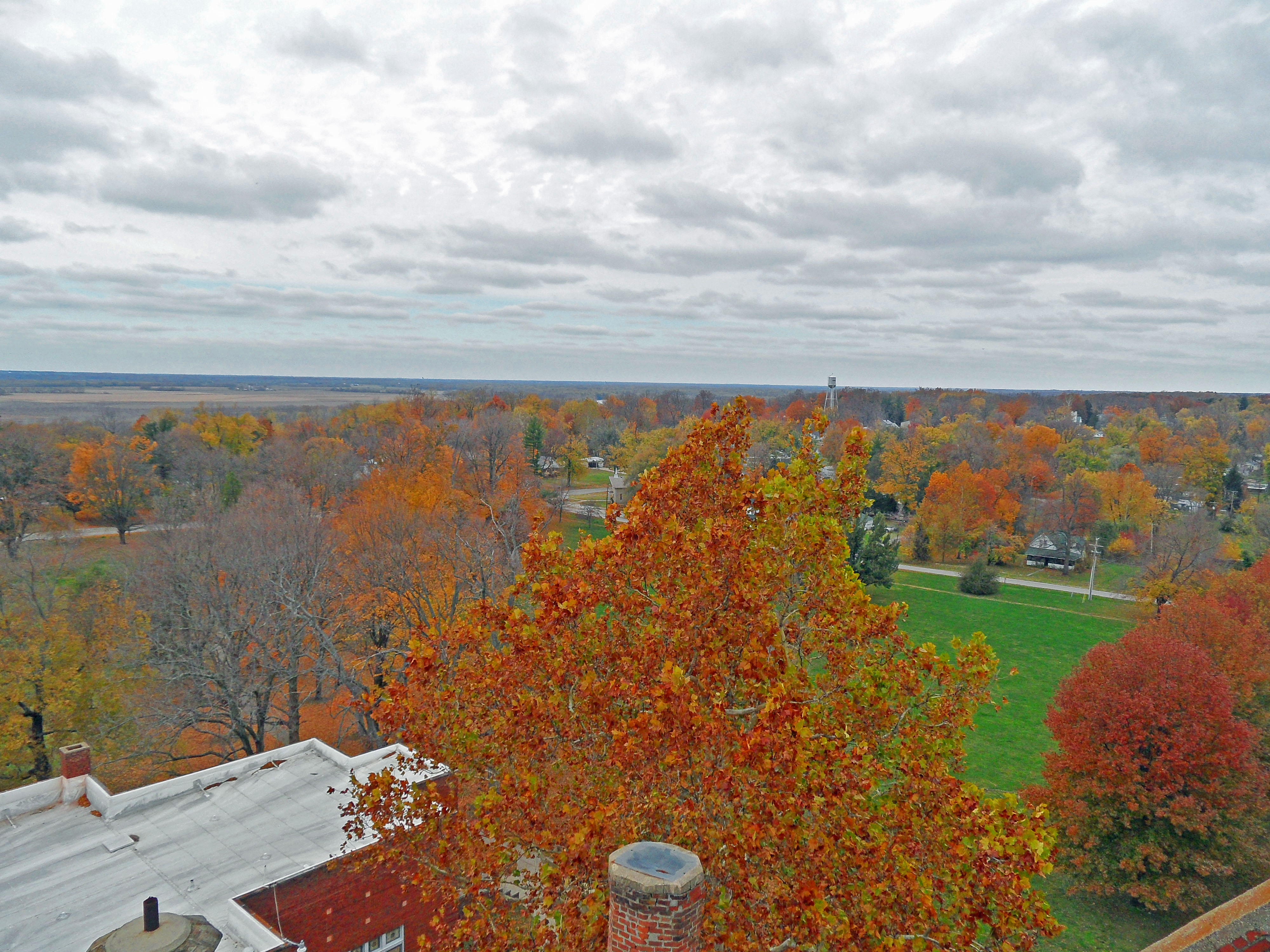
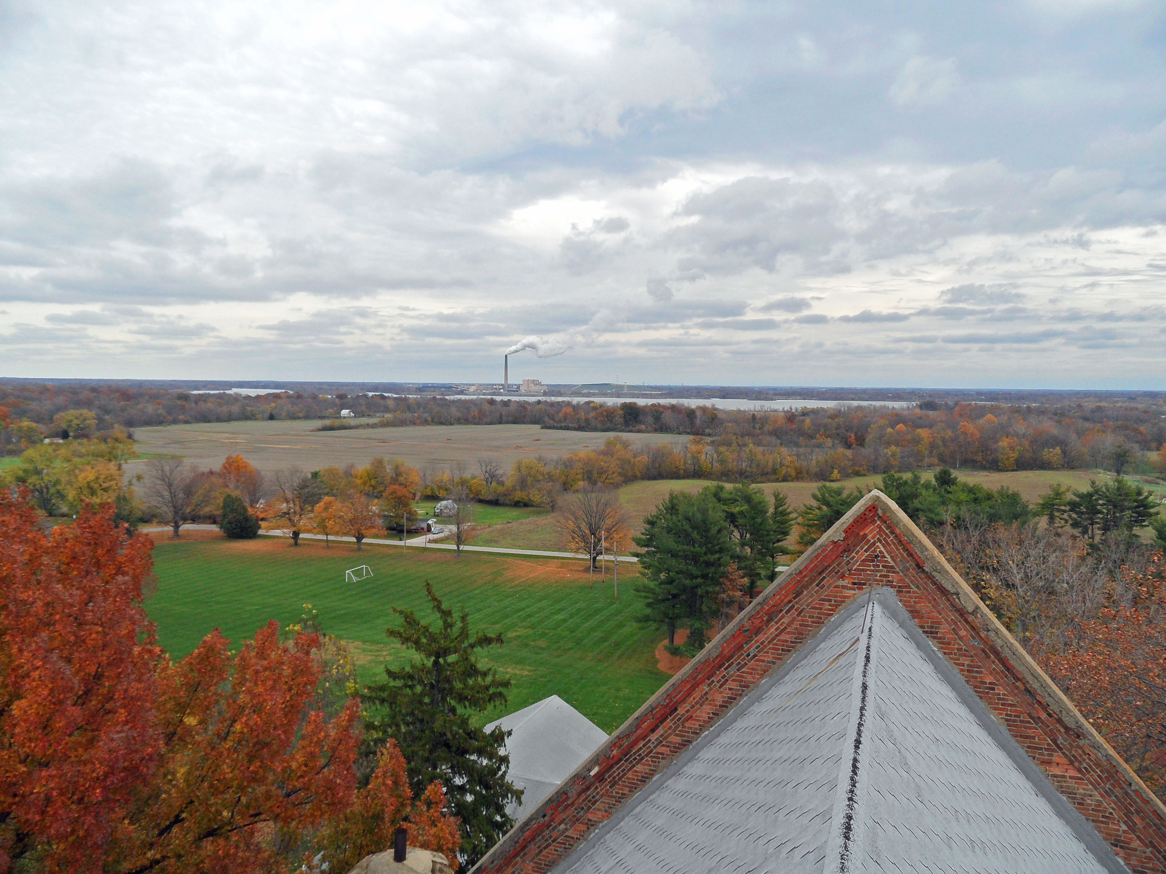
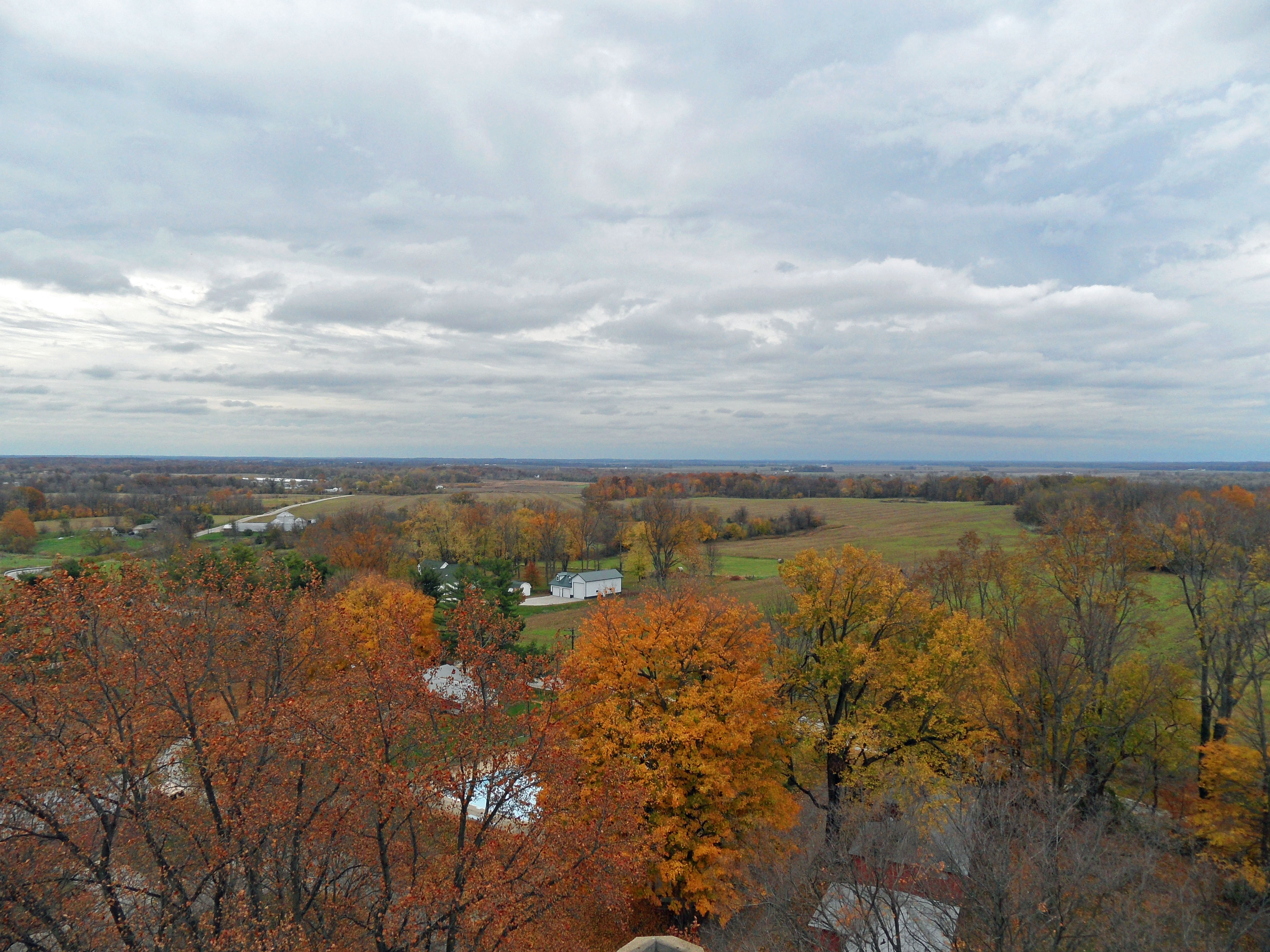
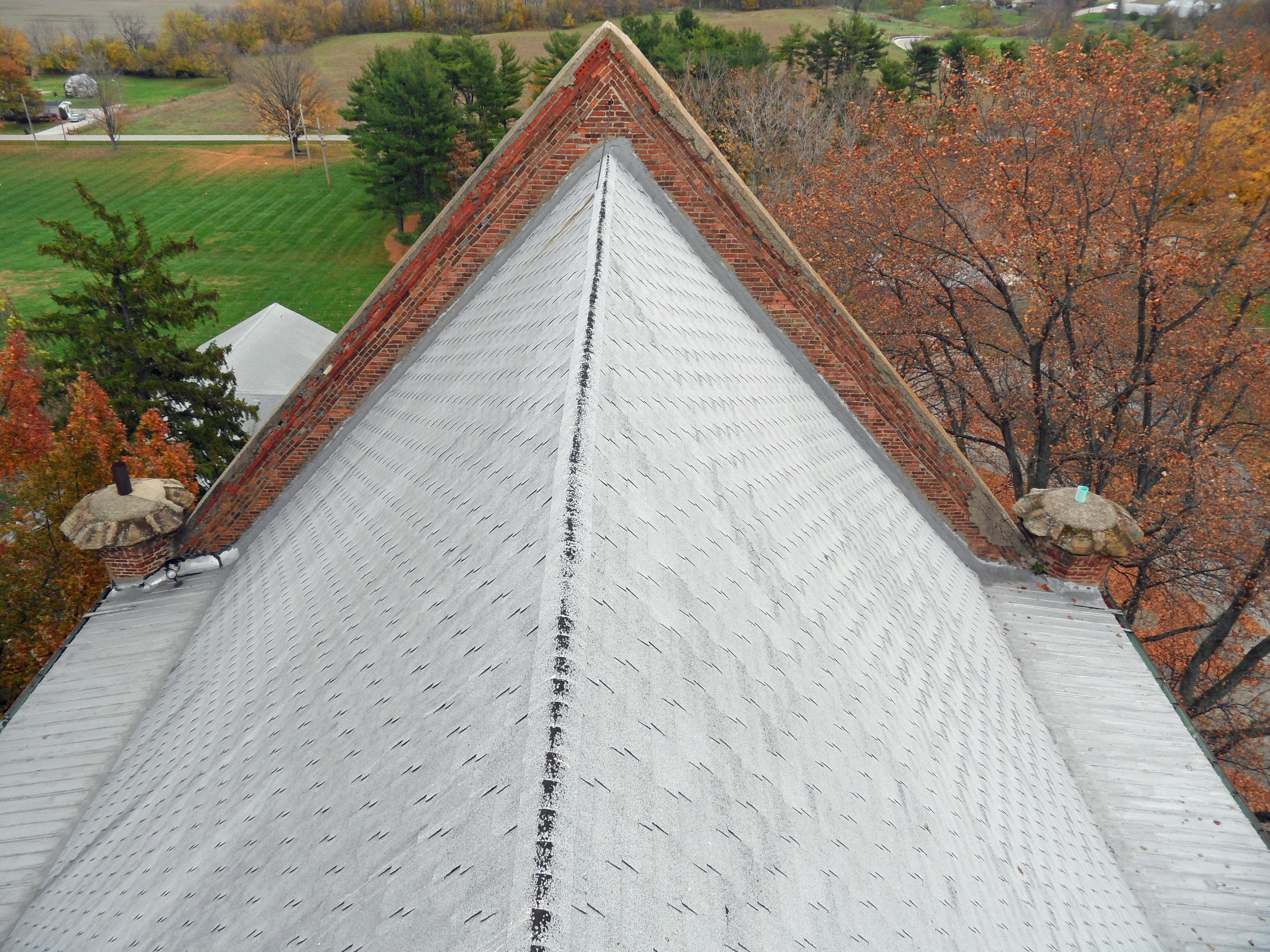
SAM_0698 view from dome catwalk
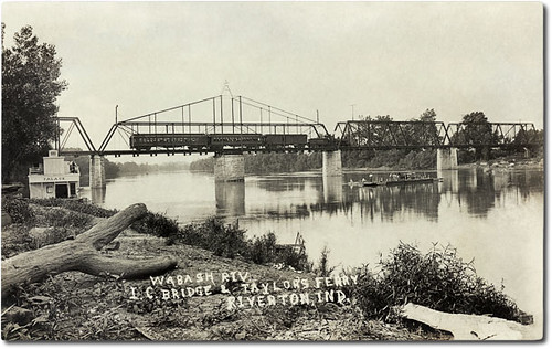
Wabash River Illinois Central Bridge and Taylor's Ferry, Riverton, Indiana
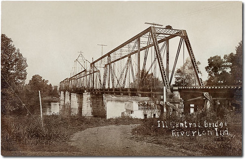
Illinois Central Railroad Bridge, Riverton, Indiana
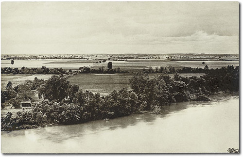
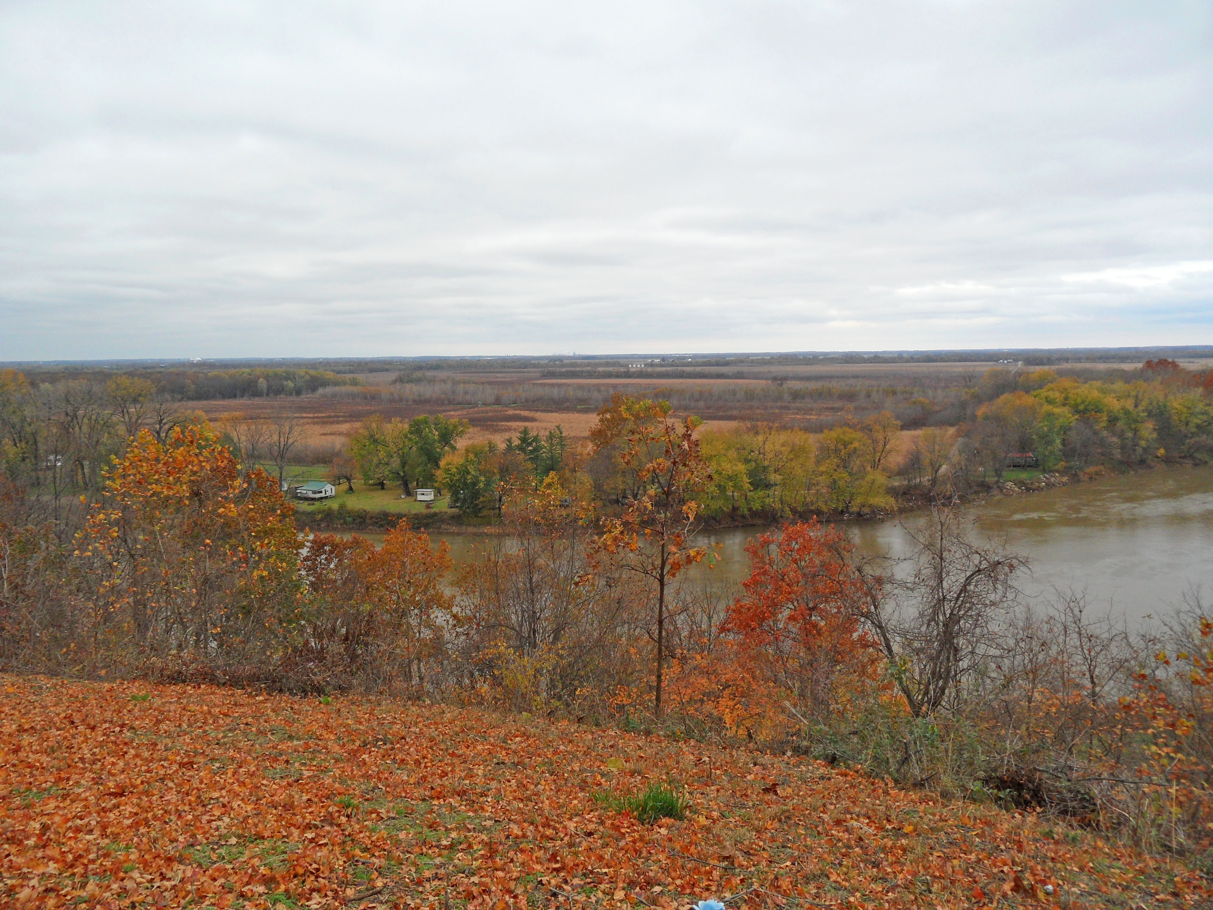
The Wabash River and flooded farmland, Merom, Indiana
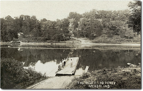
Merom Bluff and ferry, Merom, Indiana
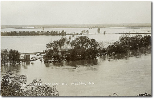
Flooding along the Wabash River, Merom, Indiana
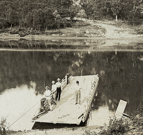
Merom Bluff and ferry, Merom, Indiana, section
SAM_0638 merom bluff view
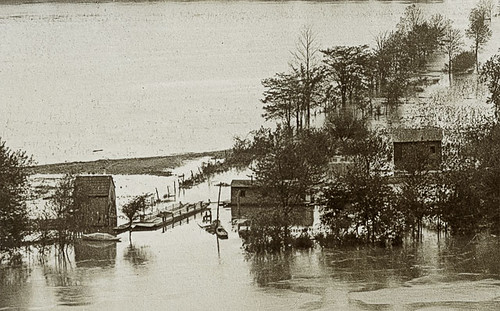
Flooding along the Wabash River, Merom, Indiana, section

SAM_0692 view from dome catwalk
Looking up The Bluff Road, Merom, Indiana, section 2
SAM_0696 view from dome catwalk

Looking up The Bluff Road, Merom, Indiana, section 1
Allen Sanitarium #5

SAM_0639 merom bluff view
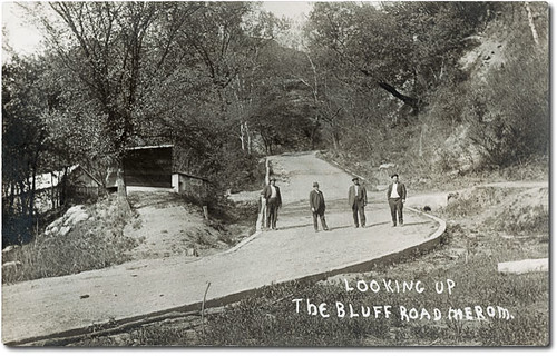
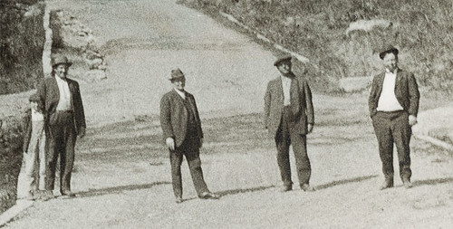
Looking up The Bluff Road, Merom, Indiana
SAM_0694 view from dome catwalk
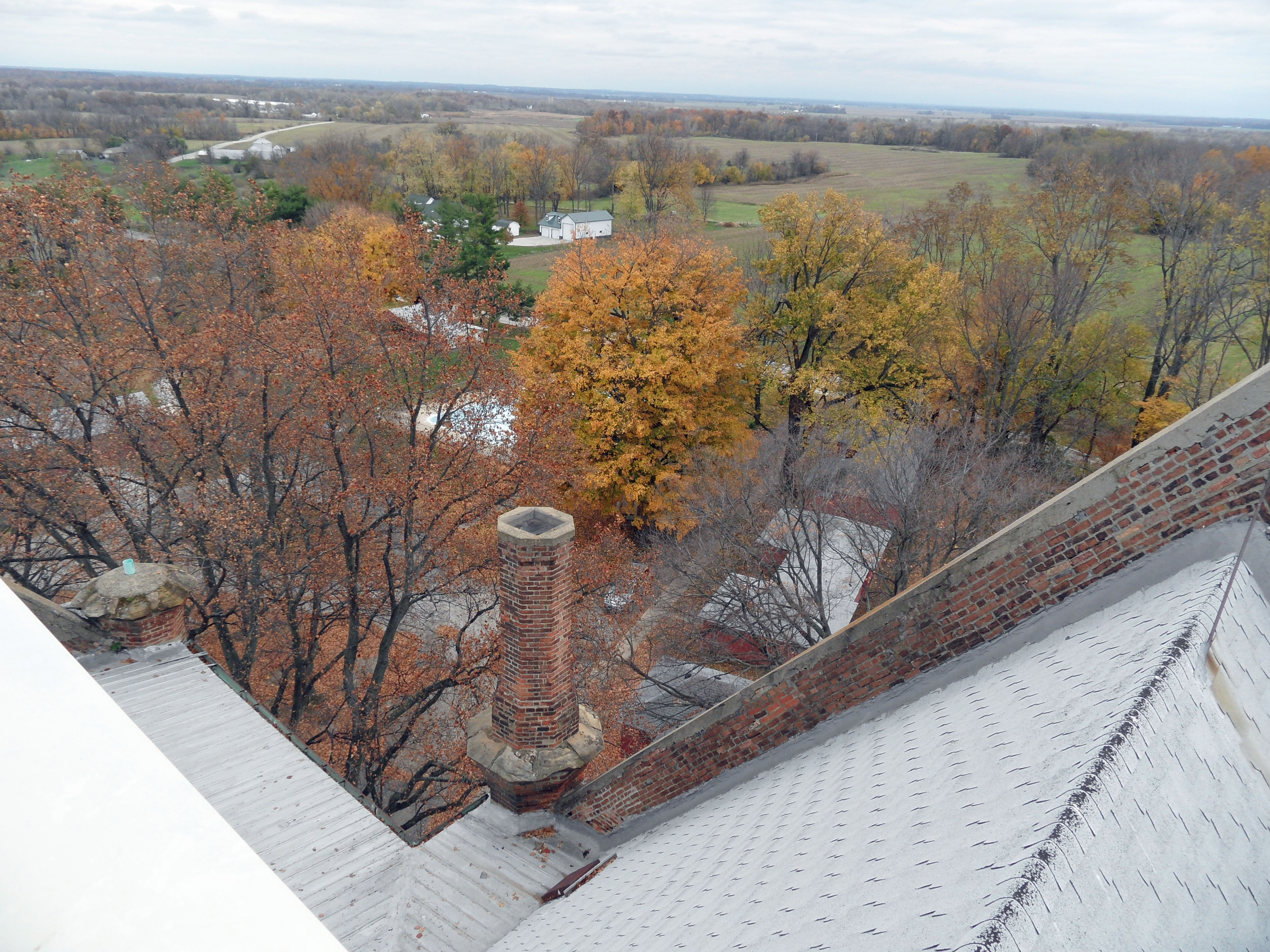
SAM_0699 view and chimney

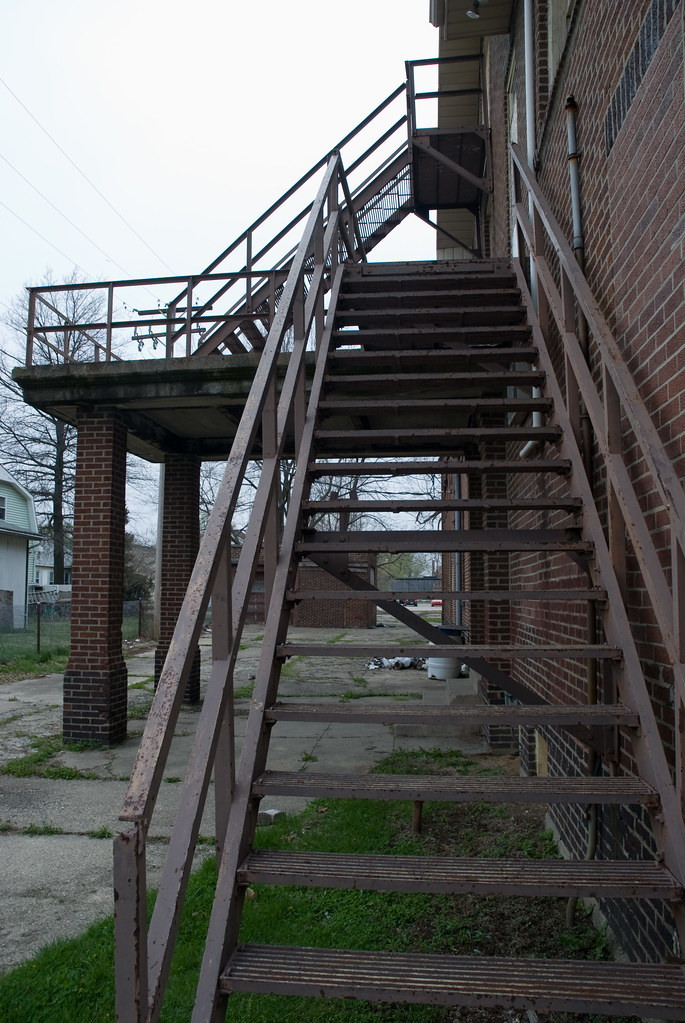
Office with view.
SAM_0695 view from dome catwalk
IMG_6873-2

Quail Creek Golf Course, Robinson, IL

Merom Bluff 1
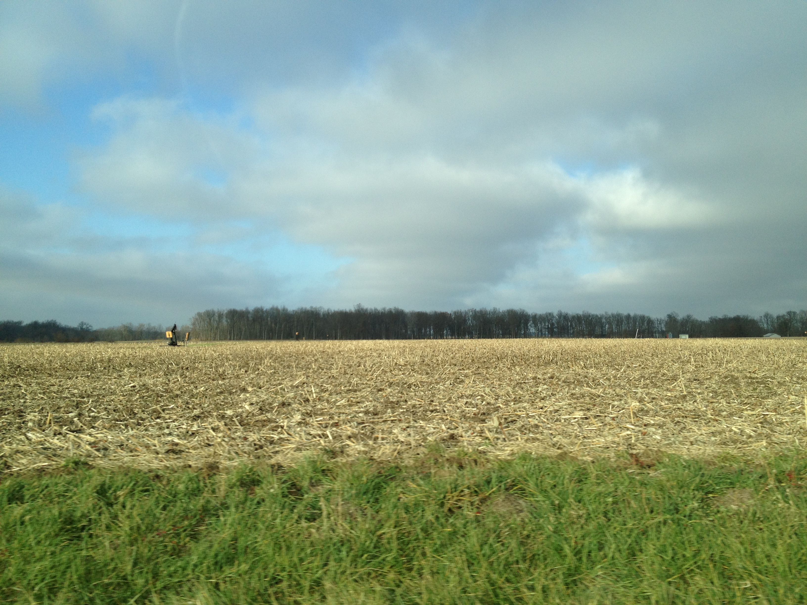
No corn in the cornfields

Quail Creek Golf Course, Robinson, IL - Hole # 9
Topographic Map of Robinson, IL, USA
Find elevation by address:

Places in Robinson, IL, USA:
Places near Robinson, IL, USA:
Robinson Township
South Marathon Avenue
Robinson High School
Crawford County
N Trimble Rd, Robinson, IL, USA
Lamotte Township
Hutsonville Township
Palestine
N Main St, Palestine, IL, USA
S Main St, Hutsonville, IL, USA
Hutsonville
17150 E 500th Ave
17500 E 500th Ave
E th Ave, Oblong, IL, USA
Morea Cemetery
17583 E 500th Ave
Oblong Township
305 E Indiana St
508 S Garfield St
E Main St, Oblong, IL, USA
Recent Searches:
- Elevation of Corso Fratelli Cairoli, 35, Macerata MC, Italy
- Elevation of Tallevast Rd, Sarasota, FL, USA
- Elevation of 4th St E, Sonoma, CA, USA
- Elevation of Black Hollow Rd, Pennsdale, PA, USA
- Elevation of Oakland Ave, Williamsport, PA, USA
- Elevation of Pedrógão Grande, Portugal
- Elevation of Klee Dr, Martinsburg, WV, USA
- Elevation of Via Roma, Pieranica CR, Italy
- Elevation of Tavkvetili Mountain, Georgia
- Elevation of Hartfords Bluff Cir, Mt Pleasant, SC, USA