Elevation map of Latehar, Jharkhand, India
Location: India > Jharkhand >
Longitude: 84.3542049
Latitude: 23.7555791
Elevation: 367m / 1204feet
Barometric Pressure: 97KPa
Elevation Map:
Satellite Map:
Related Photos:
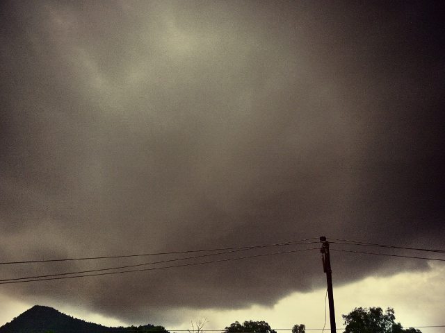
#weather #rain #clouds #evening #circle #nature #amazingfeeling #balconyview #home #instalike #insta
Topographic Map of Latehar, Jharkhand, India
Find elevation by address:

Places in Latehar, Jharkhand, India:
Places near Latehar, Jharkhand, India:
Manika
Netarhat
Chainpur
Kusmi
Ramanuj Ganj
Balrampur
Balrampur
Balrampur
Jashpur Nagar
Badalkhol Wildlife Sanctuary Jashpur
Rajpur
Jashpur
Wadraf Nagar
Pratappur
Batauli
Ambikapur
Tamor Pingla Aabhayaran
Mainpat
Surguja
Lakhanpur
Recent Searches:
- Elevation of Corso Fratelli Cairoli, 35, Macerata MC, Italy
- Elevation of Tallevast Rd, Sarasota, FL, USA
- Elevation of 4th St E, Sonoma, CA, USA
- Elevation of Black Hollow Rd, Pennsdale, PA, USA
- Elevation of Oakland Ave, Williamsport, PA, USA
- Elevation of Pedrógão Grande, Portugal
- Elevation of Klee Dr, Martinsburg, WV, USA
- Elevation of Via Roma, Pieranica CR, Italy
- Elevation of Tavkvetili Mountain, Georgia
- Elevation of Hartfords Bluff Cir, Mt Pleasant, SC, USA