Elevation of Rajpur, Chhattisgarh, India
Location: India > Chhattisgarh > Surguja >
Longitude: 83.4136531
Latitude: 23.3363241
Elevation: 598m / 1962feet
Barometric Pressure: 94KPa
Elevation Map:
Satellite Map:
Related Photos:
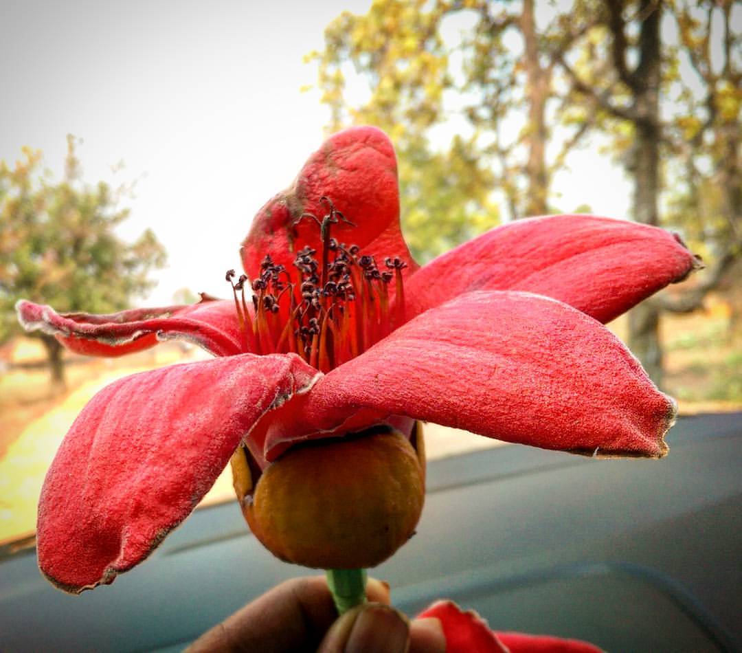
Known as Semal (Hindi: सेमल) or Shimul (Bengali: শিমুল), these trees are planted along the roads of #Chattisgarh. The skies & ground were aflame with these red #flowers as we sped towards Raipur.
Topographic Map of Rajpur, Chhattisgarh, India
Find elevation by address:

Places near Rajpur, Chhattisgarh, India:
Balrampur
Pratappur
Ambikapur
Balrampur
Batauli
Surguja
Wadraf Nagar
Tamor Pingla Aabhayaran
Kusmi
Lakhanpur
Balrampur
Mainpat
Ramanuj Ganj
Badalkhol Wildlife Sanctuary Jashpur
Jashpur
Sariya
Chainpur
Jashpur Nagar
Netarhat
Latehar
Recent Searches:
- Elevation of Corso Fratelli Cairoli, 35, Macerata MC, Italy
- Elevation of Tallevast Rd, Sarasota, FL, USA
- Elevation of 4th St E, Sonoma, CA, USA
- Elevation of Black Hollow Rd, Pennsdale, PA, USA
- Elevation of Oakland Ave, Williamsport, PA, USA
- Elevation of Pedrógão Grande, Portugal
- Elevation of Klee Dr, Martinsburg, WV, USA
- Elevation of Via Roma, Pieranica CR, Italy
- Elevation of Tavkvetili Mountain, Georgia
- Elevation of Hartfords Bluff Cir, Mt Pleasant, SC, USA