Elevation of Latehar, Jharkhand, India
Location: India > Jharkhand > Latehar >
Longitude: 84.5091102
Latitude: 23.7463215
Elevation: 391m / 1283feet
Barometric Pressure: 97KPa
Elevation Map:
Satellite Map:
Related Photos:

#flower #layering #paperart #decoration #wallsticker #homesweethome #instago
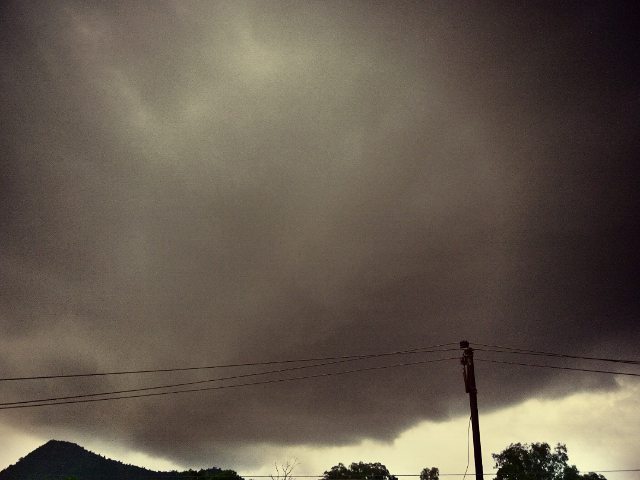
#weather #rain #clouds #evening #circle #nature #amazingfeeling #balconyview #home #instalike #insta
Topographic Map of Latehar, Jharkhand, India
Find elevation by address:

Places near Latehar, Jharkhand, India:
Lukuia
Ranchi Road
Balumath
Kamle
Lohardaga
Lohardaga
Kuru
Kairo
Mccluskieganj
Khalari
Chanho
Tandwa
Gumla
Sisai
Burmu
Bero
Gumla
Barkagaon
Bhandra
Jharkhand
Recent Searches:
- Elevation of Corso Fratelli Cairoli, 35, Macerata MC, Italy
- Elevation of Tallevast Rd, Sarasota, FL, USA
- Elevation of 4th St E, Sonoma, CA, USA
- Elevation of Black Hollow Rd, Pennsdale, PA, USA
- Elevation of Oakland Ave, Williamsport, PA, USA
- Elevation of Pedrógão Grande, Portugal
- Elevation of Klee Dr, Martinsburg, WV, USA
- Elevation of Via Roma, Pieranica CR, Italy
- Elevation of Tavkvetili Mountain, Georgia
- Elevation of Hartfords Bluff Cir, Mt Pleasant, SC, USA