Elevation of Latacunga Canton, Ecuador
Location: Ecuador > Pichincha > Latacunga >
Longitude: -78.60585
Latitude: -0.931556
Elevation: 2813m / 9229feet
Barometric Pressure: 72KPa
Elevation Map:
Satellite Map:
Related Photos:
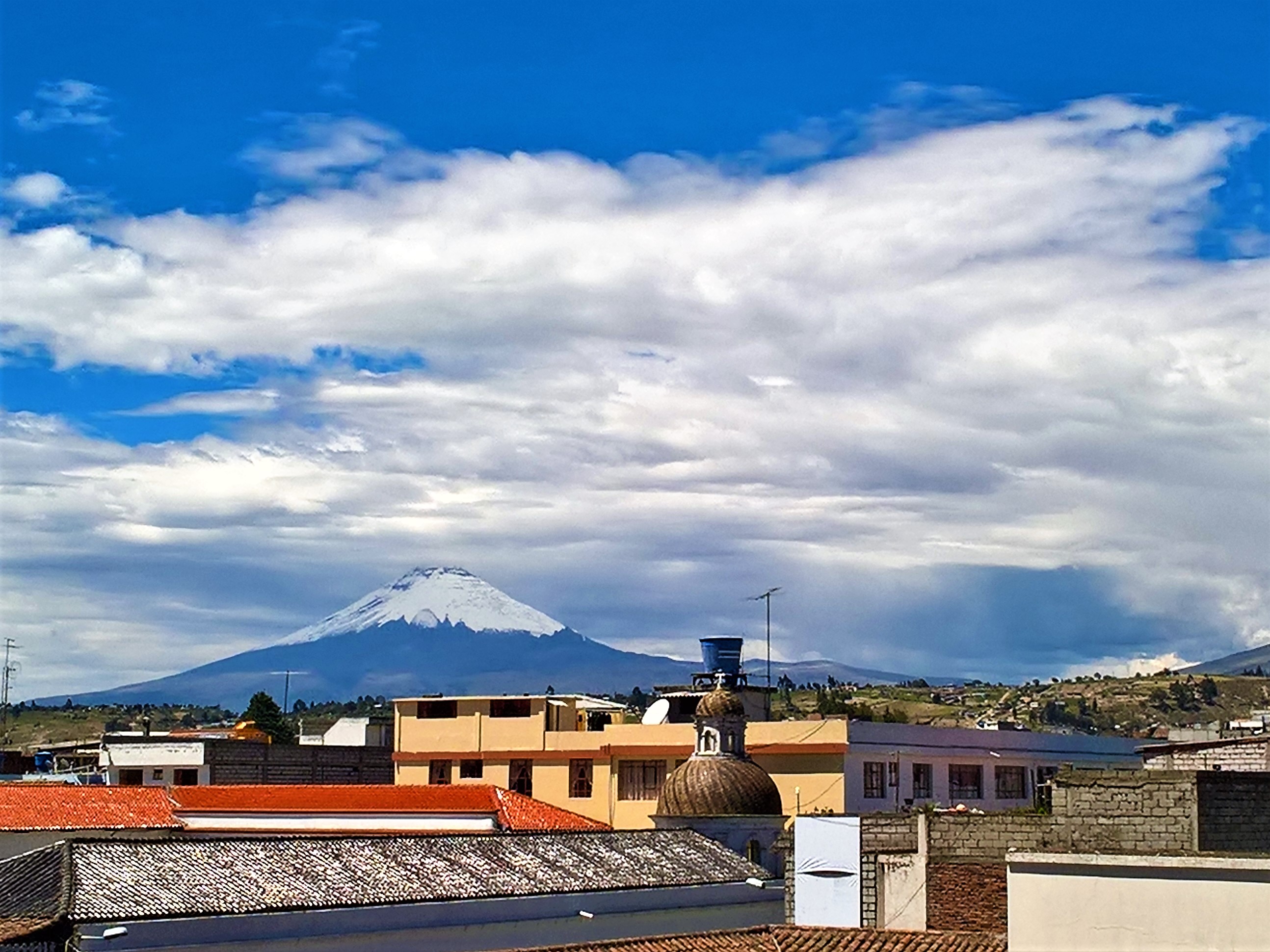
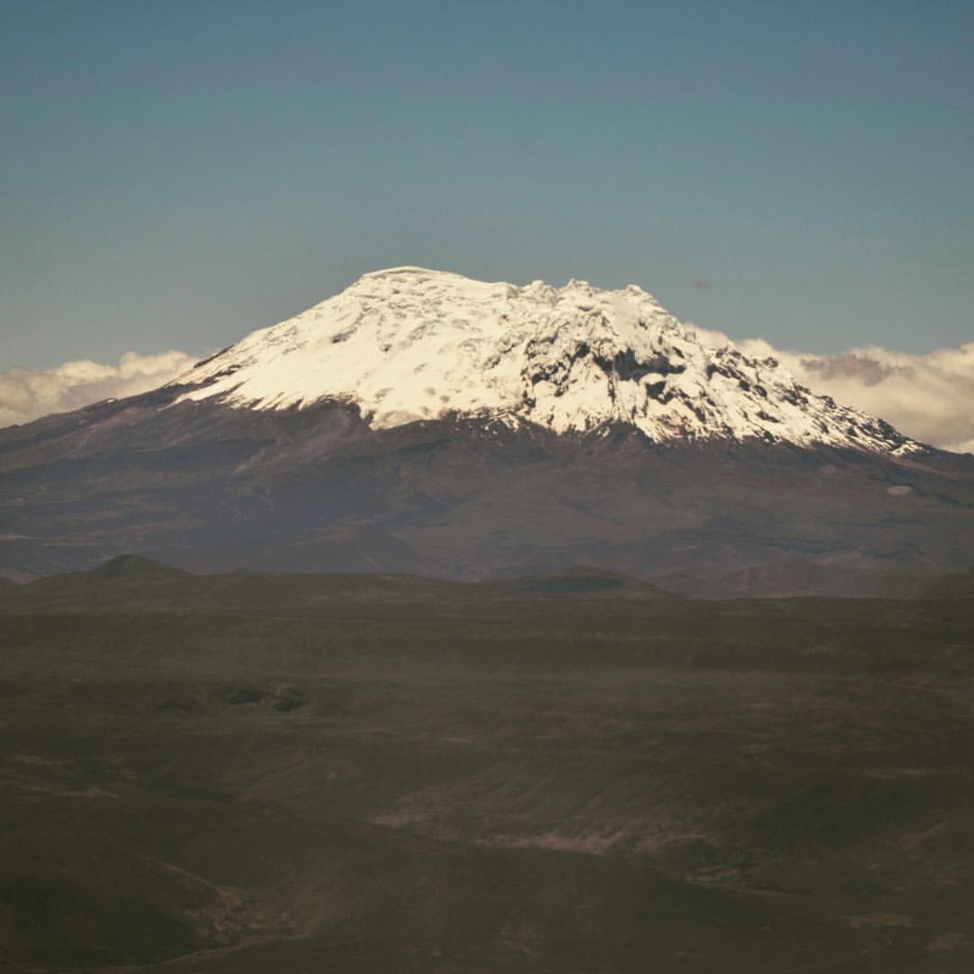
View of Volcan Cotopaxi in Latacunga, Ecuador
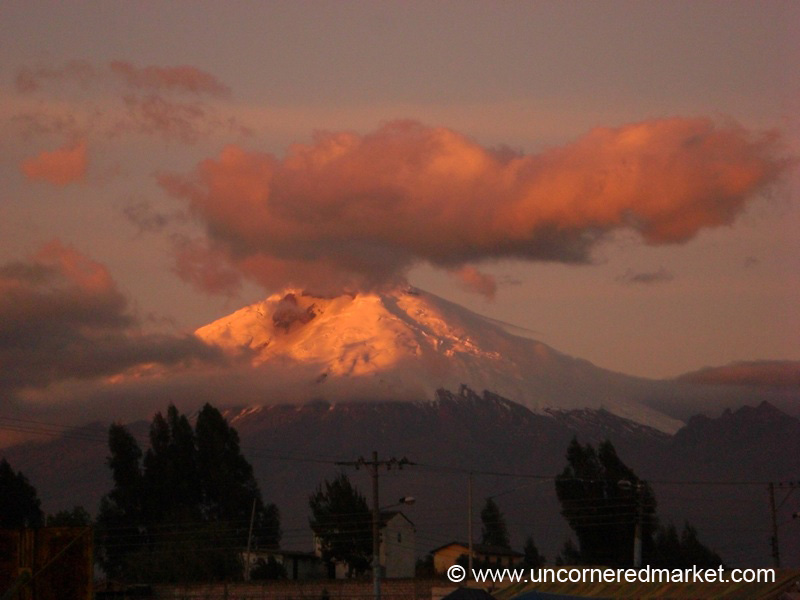
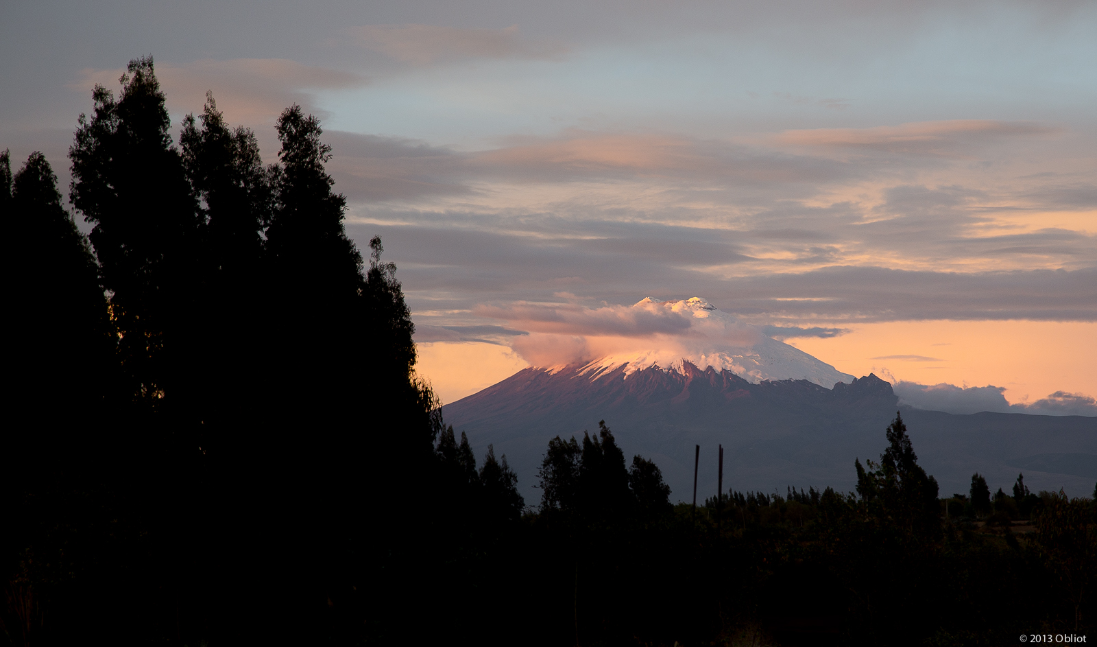
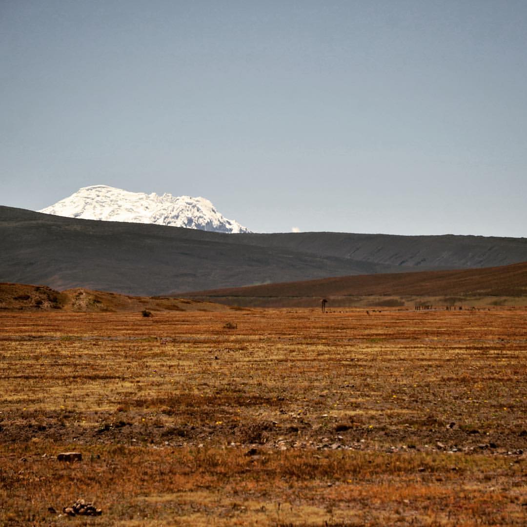
Dusk View of Cotopaxi Volcano - Saquisili, Ecuador
Clear view of Volcan #Cotopaxi on this morning's drive into the National Park. #ecuador #elev19347

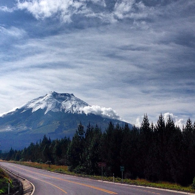
Cotopaxi shows its top!

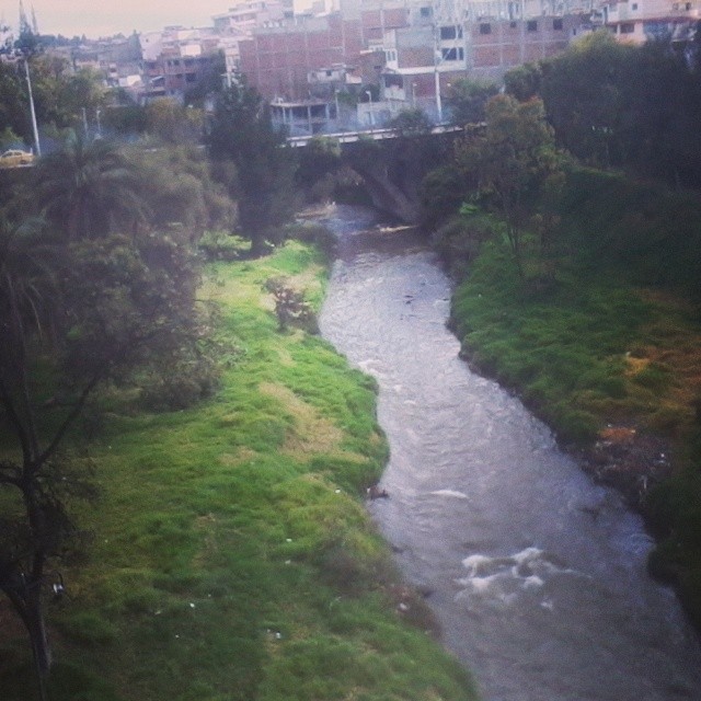
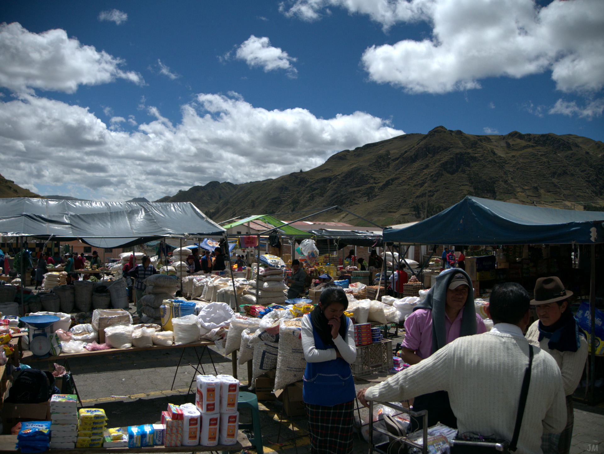
Streetscene Panorama, Latacunga
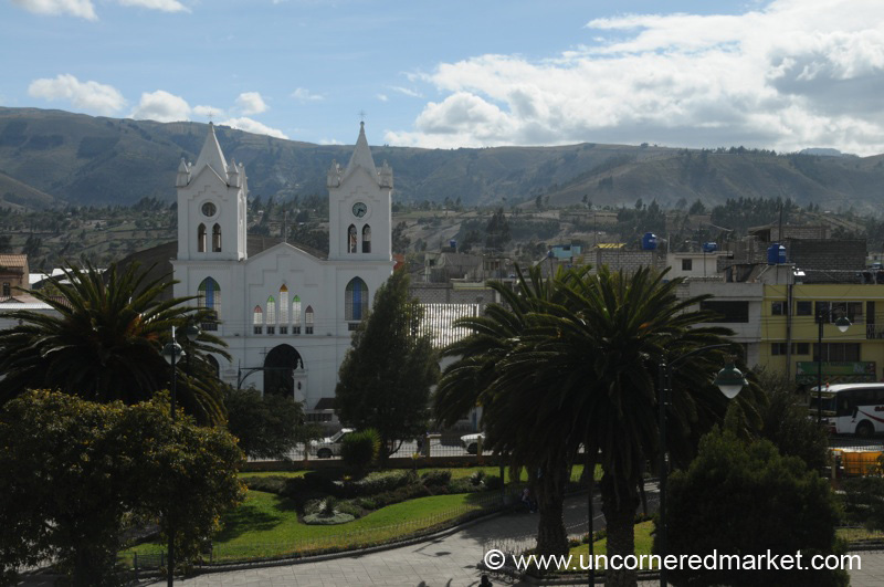
View of Saquisili's Cathedral and Plaza - Ecuador

Cotopaxi Moonscape

No Turning Back Now
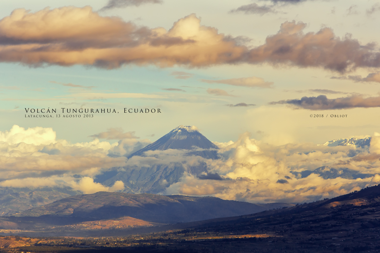
Volcán Tungurahua, Ecuador
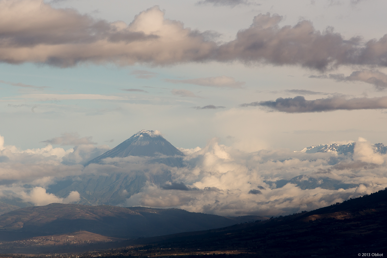
Volcan Tungurahua

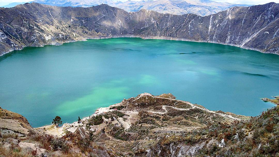
07 Ecuador Volcanic Lake 13
De esos viajes... :-D
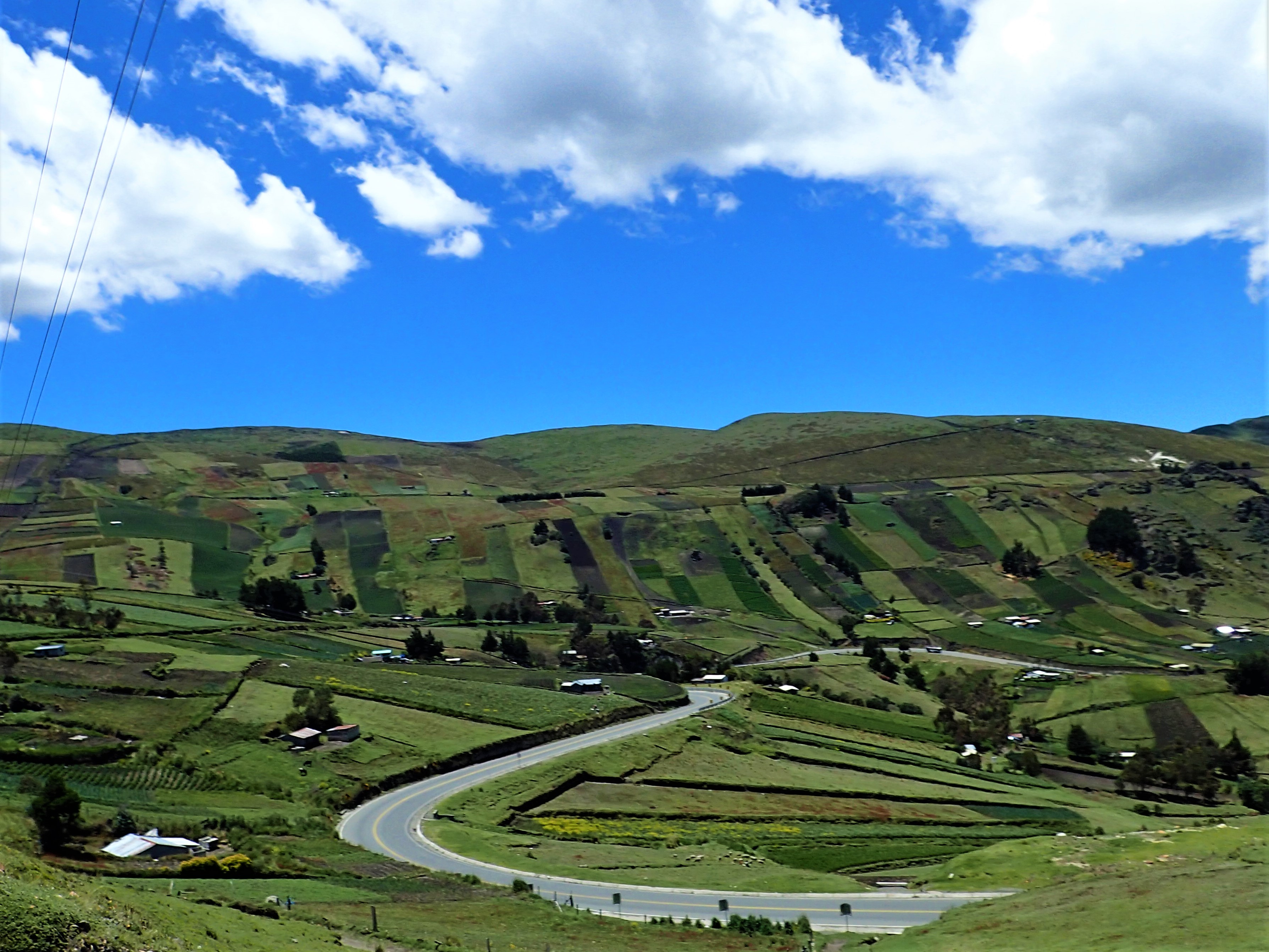
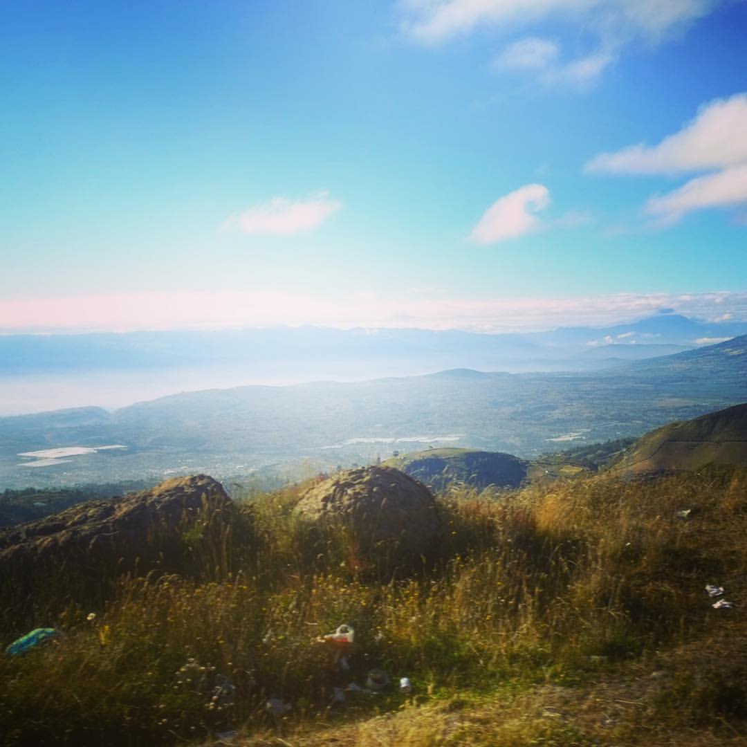
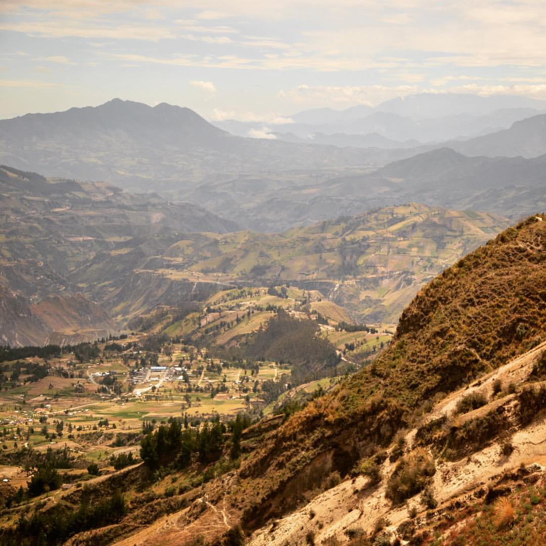
Traveling from Quilotoa to Latacunga, Ecuador
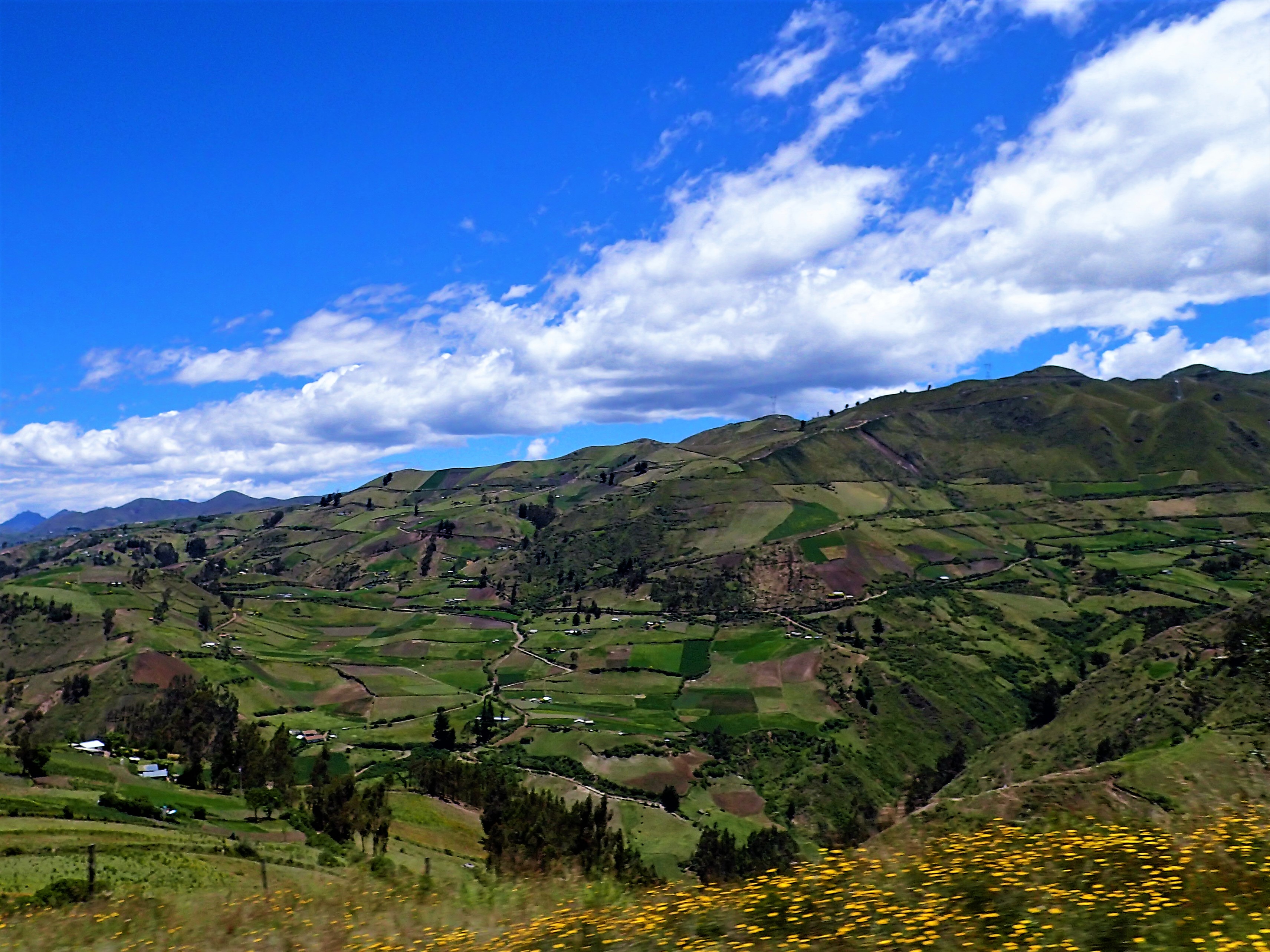
Traveling from Quilotoa to Latacunga, Ecuador
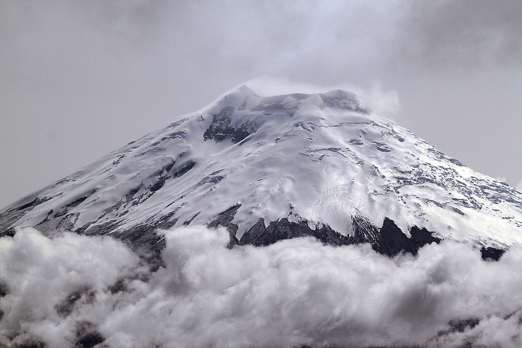
Cotopaxi shows its top!
Latacunga!!
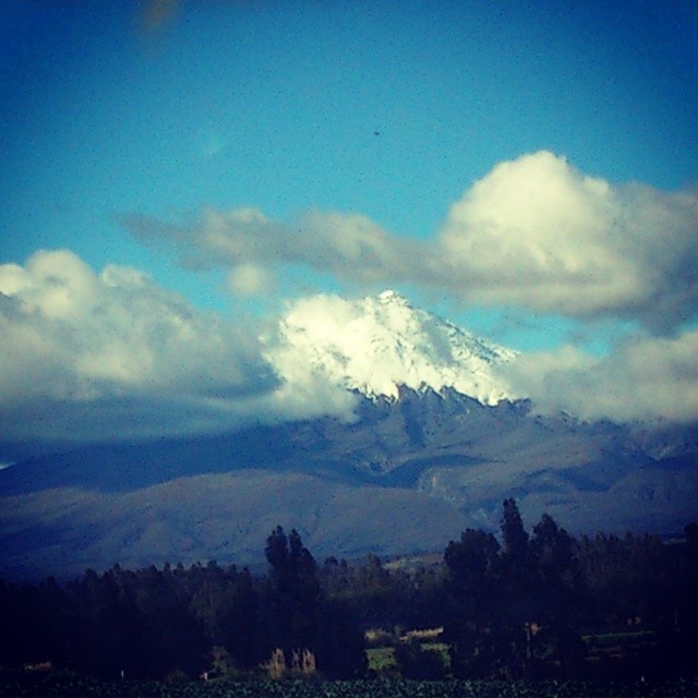
Volcan Cotopaxi
Au loin, l'Antisana.
L'Antisana m'espionne de derrière la colline.
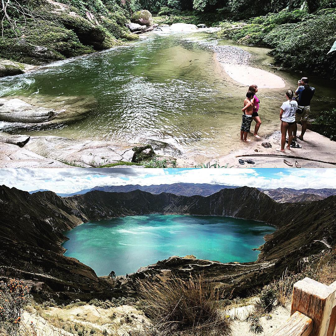
Water is life! #Quilotoa #Tena
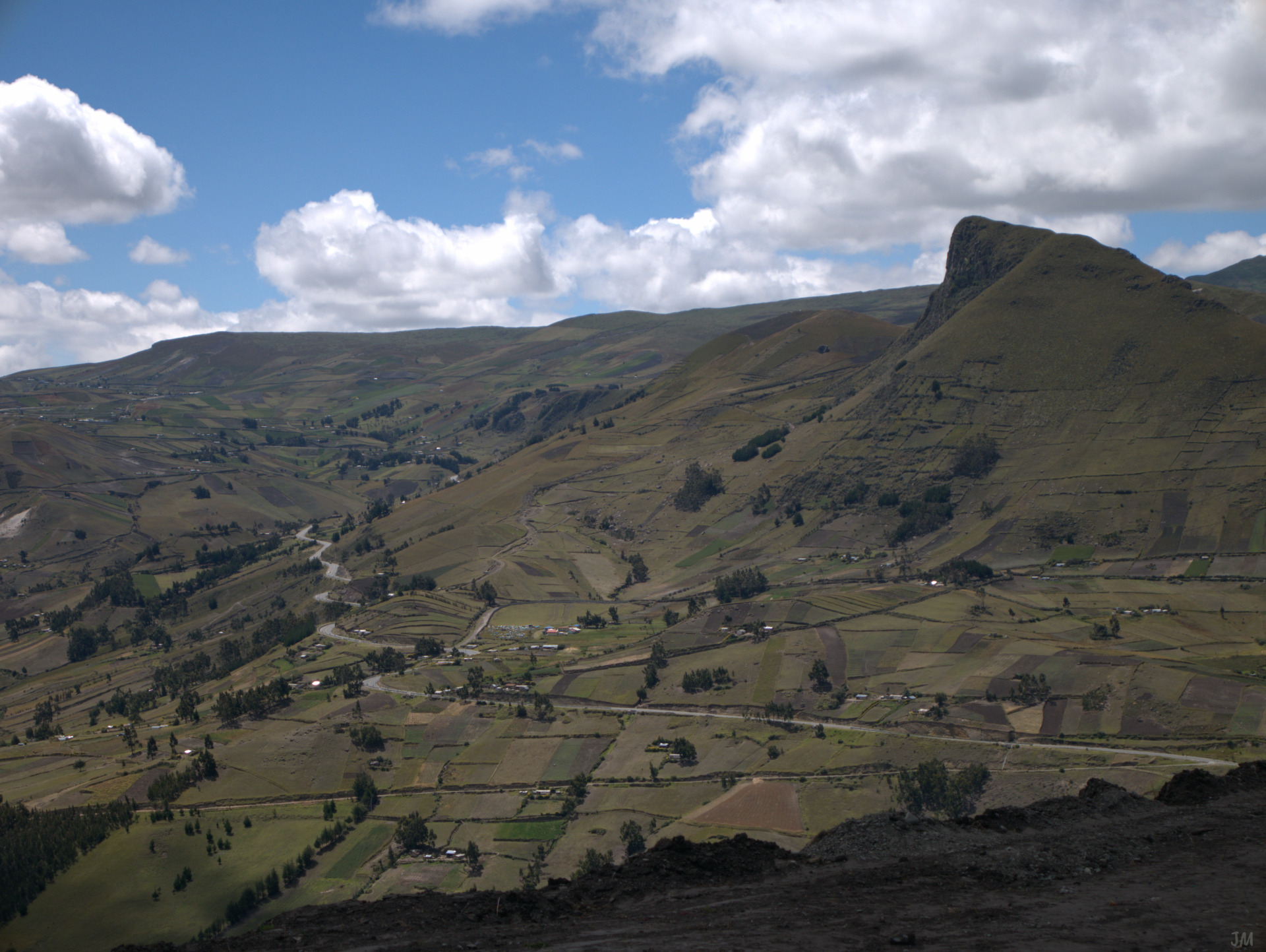
Descente vers Latacunga.
E uma foto só dele, porque a beleza se basta. #zumbahua #NOFILTER #latacunga #pujili #hiking #trekking #climbing #adventure #lagoon #mountains #crater #ecuador #andes #scenic #volcano #lake #scenicview #fromabove #cordillera #landscape #quilotoa #melhore
Vue depuis les pentes du Quilotoa.
160716-1118_P1160345
160716-1057_P1160323
Topographic Map of Latacunga Canton, Ecuador
Find elevation by address:

Places near Latacunga Canton, Ecuador:
Hostal Llullu Llama
Pujili
Salcedo
Guaytacama
Saquisilí
Hacienda Hato Verde
Mulaló
Hacienda La Ciénega
Latacunga
Salcedo
La Quinta Colorada
Rio Napo
Hacienda San Agustin De Callo
Mulalo
San Juan De Pastocalle
Pillaro
Termas Cunugyacu
Iliniza Sur
Cotopaxi National Park
Cotopaxi
Recent Searches:
- Elevation of Corso Fratelli Cairoli, 35, Macerata MC, Italy
- Elevation of Tallevast Rd, Sarasota, FL, USA
- Elevation of 4th St E, Sonoma, CA, USA
- Elevation of Black Hollow Rd, Pennsdale, PA, USA
- Elevation of Oakland Ave, Williamsport, PA, USA
- Elevation of Pedrógão Grande, Portugal
- Elevation of Klee Dr, Martinsburg, WV, USA
- Elevation of Via Roma, Pieranica CR, Italy
- Elevation of Tavkvetili Mountain, Georgia
- Elevation of Hartfords Bluff Cir, Mt Pleasant, SC, USA