Elevation of Lantern St, La Plata, MO, USA
Location: United States > Missouri > Macon County > La Plata Township > La Plata >
Longitude: -92.459537
Latitude: 40.034143
Elevation: 256m / 840feet
Barometric Pressure: 98KPa
Elevation Map:
Satellite Map:
Related Photos:

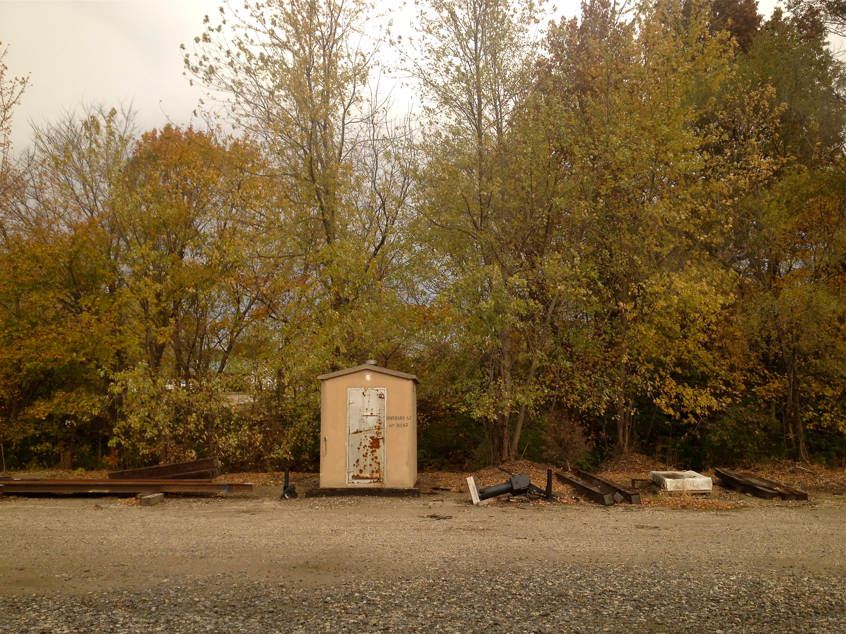
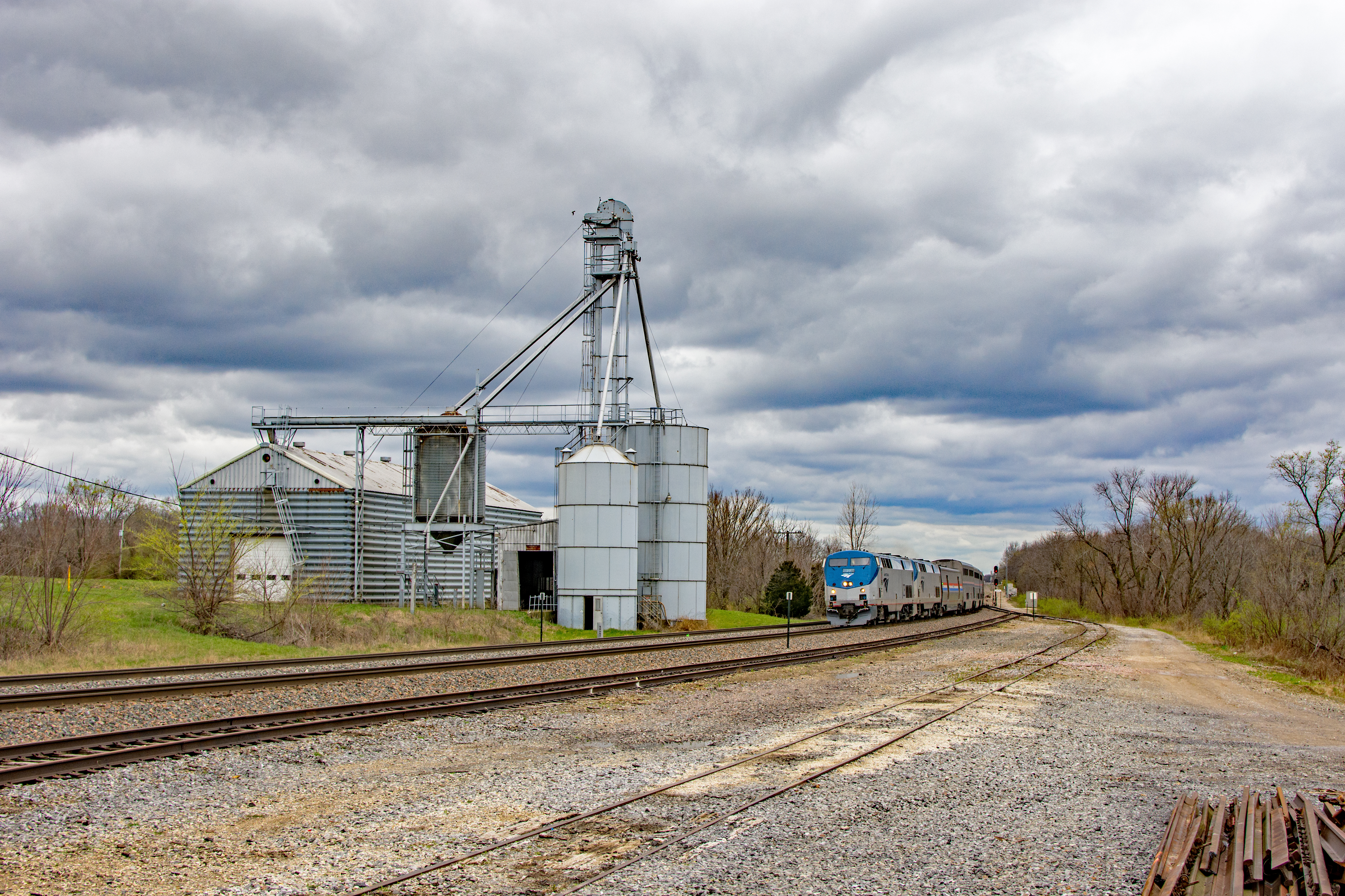
Views From Amtrak

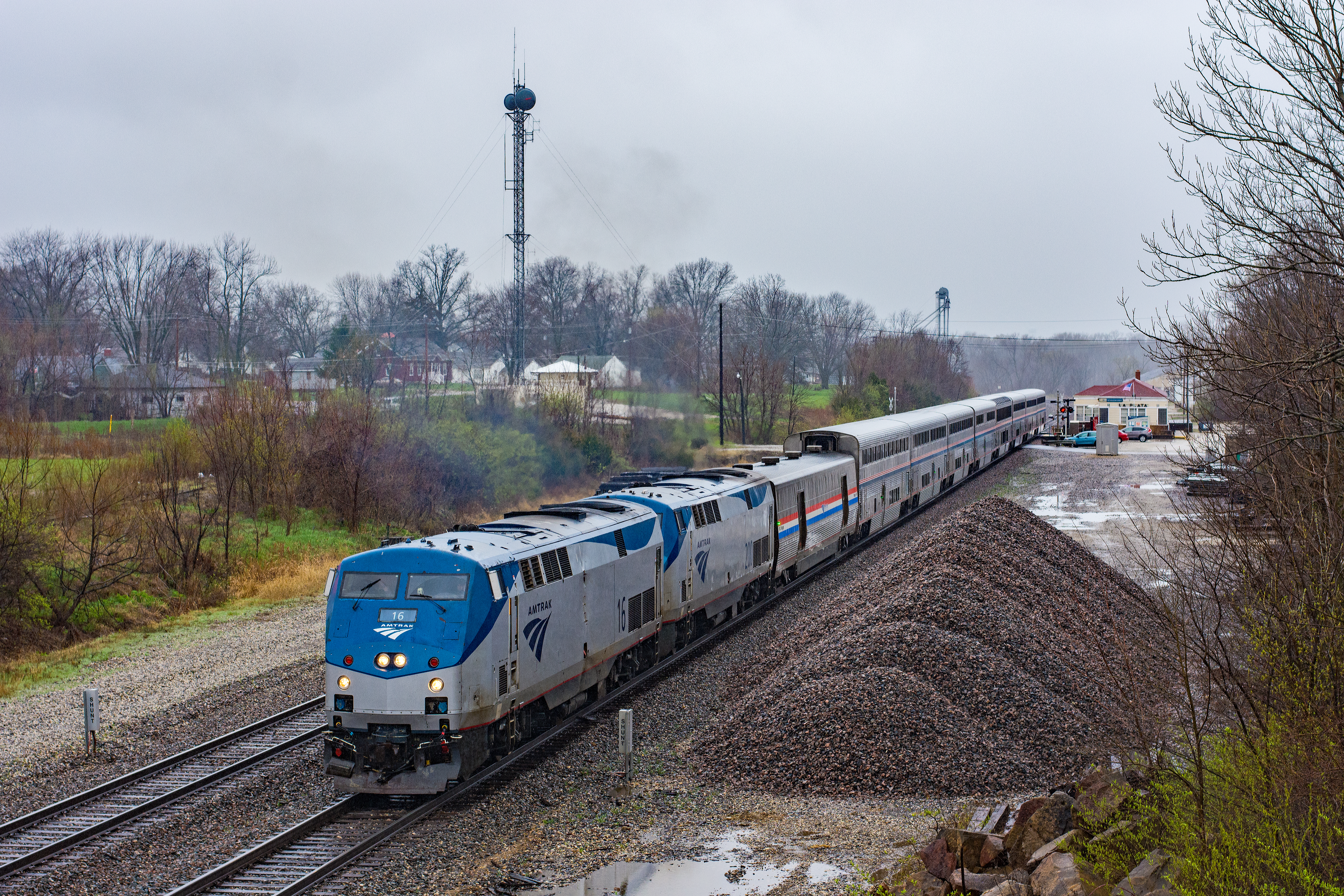
Views From Amtrak

Views From Amtrak

Southwest Airlines departure view
Views From Amtrak

Atlanta, Missouri City Hall
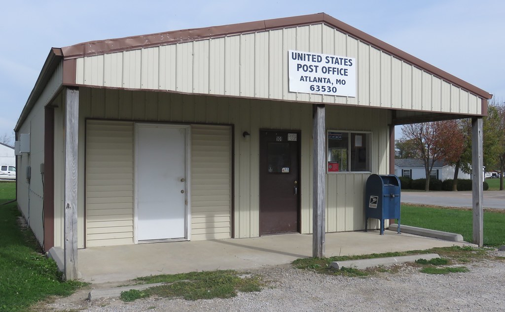
Post Office 63530 (Atlanta, Missouri)
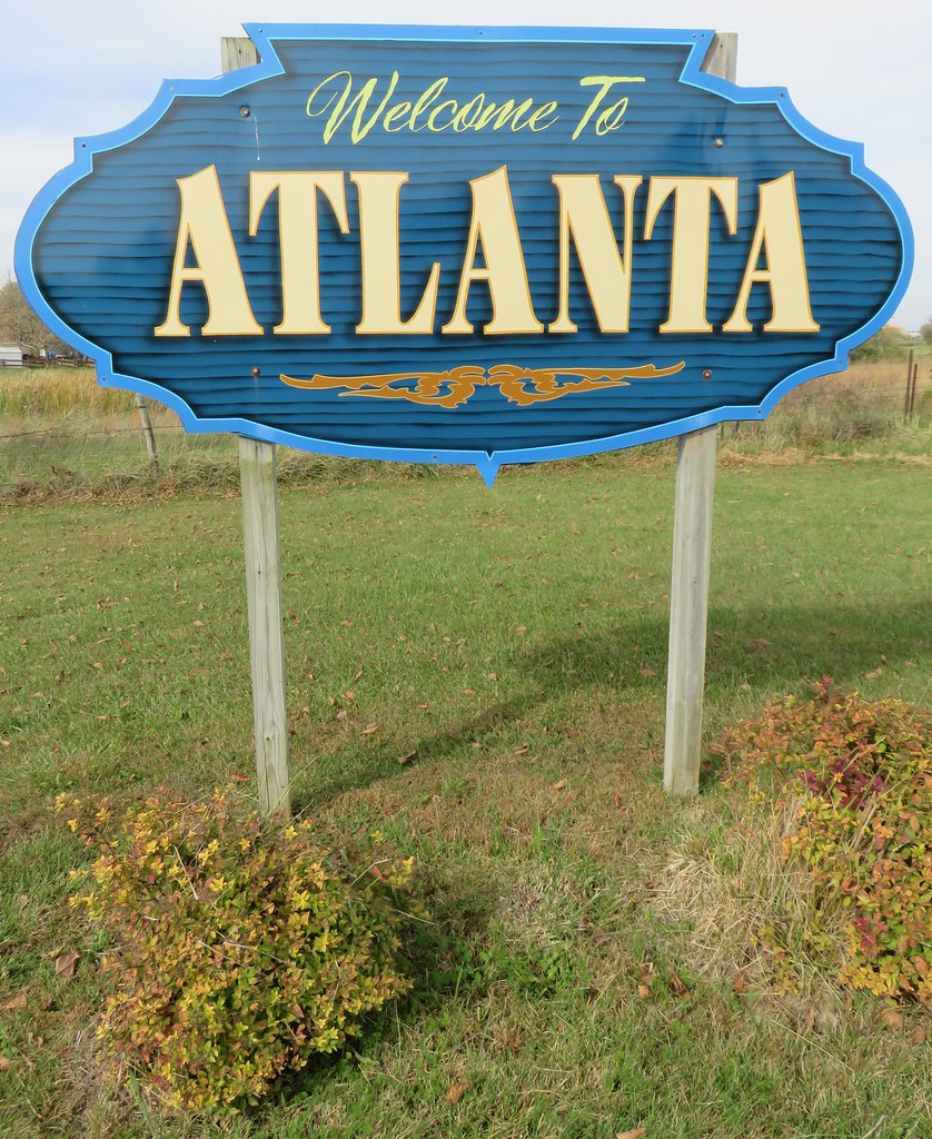
Welcome to Atlanta Sign (Atlanta, Missouri)
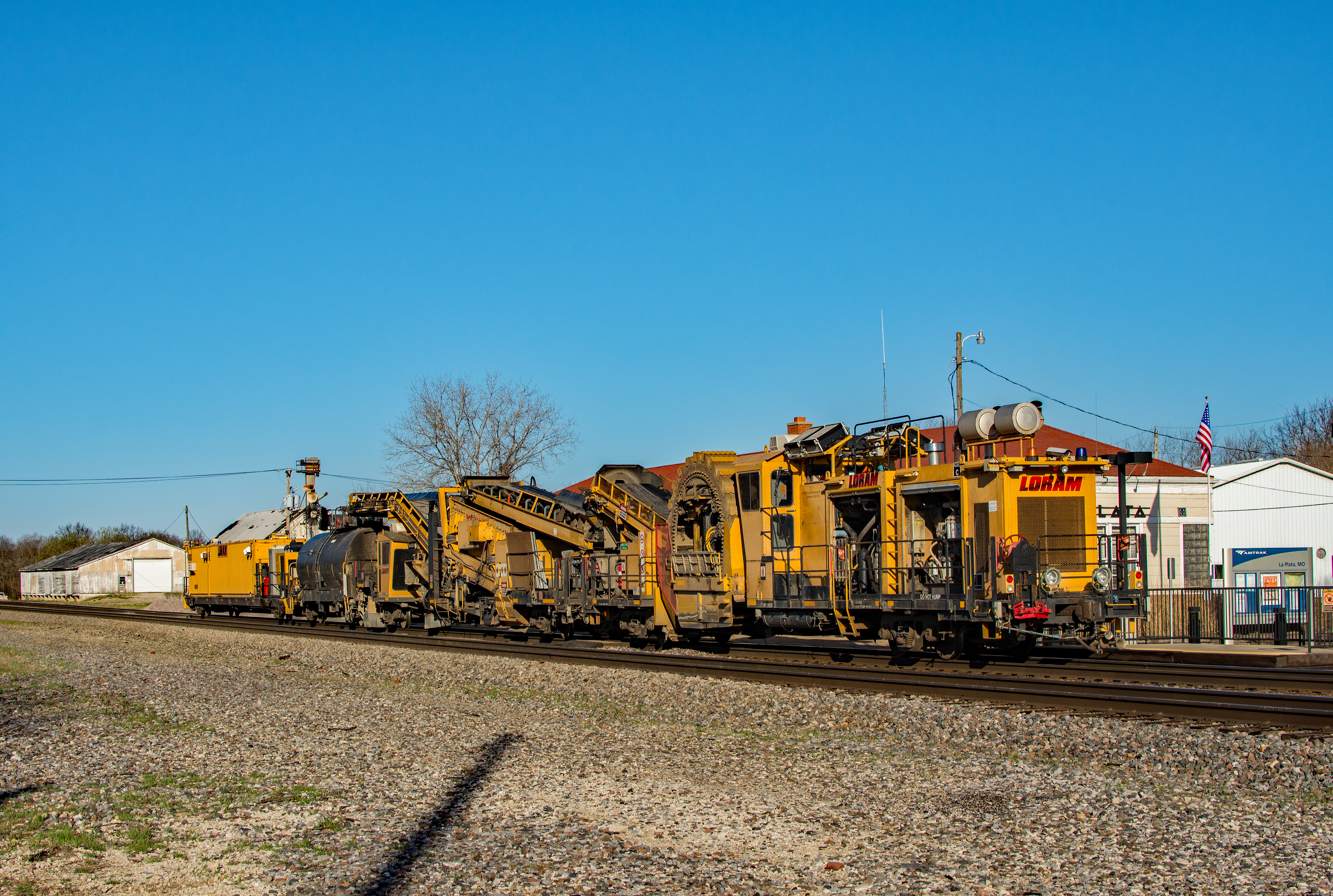
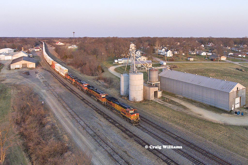
Loram LaPlata

Jeff Case - Got Feed

Matthew Gerhold - Checking the Livestock

MOW 2 La Plata

MOW La Plata, MO

BNSF 4288 La Plata, MO

BNSF 9015 La Plata, MO

BNSF 4392 La Plata, MO

BNSF 5025 La Plata, MO

UP2703 La Plata

UP4972 La Plata
Amtra 4 La Plata

BNSF Warbonnet La Plata
Amtrak 4 La Plata, MO

BNSF 7078 Eastbound QFXECHC6 06L West of Hurdland MO
Bnsf 5411 Westbound Z WSPNBY9 08L at LaPlata MO

Bnsf 5819 Westbound Train U EOLSOX0 08T East of Gibbs MO at MP 305
Topographic Map of Lantern St, La Plata, MO, USA
Find elevation by address:

Places near Lantern St, La Plata, MO, USA:
La Plata
S Gex St, La Plata, MO, USA
La Plata Township
1st Millard St, Kirksville, MO, USA
Millard
State Hwy M, Atlanta, MO, USA
Pettis Township
Jackson Township
Macon County
State Hwy MM, Atlanta, MO, USA
Adair County
State Hwy OO, Atlanta, MO, USA
Cascade Drive
100 E Normal Ave
Benton Township
Kirksville
Owl St, Anabel, MO, USA
Salt River Township
Missouri Farmers Care
Novelty
Recent Searches:
- Elevation of Corso Fratelli Cairoli, 35, Macerata MC, Italy
- Elevation of Tallevast Rd, Sarasota, FL, USA
- Elevation of 4th St E, Sonoma, CA, USA
- Elevation of Black Hollow Rd, Pennsdale, PA, USA
- Elevation of Oakland Ave, Williamsport, PA, USA
- Elevation of Pedrógão Grande, Portugal
- Elevation of Klee Dr, Martinsburg, WV, USA
- Elevation of Via Roma, Pieranica CR, Italy
- Elevation of Tavkvetili Mountain, Georgia
- Elevation of Hartfords Bluff Cir, Mt Pleasant, SC, USA