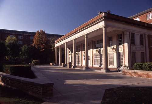
Elevation of E Normal Ave, Kirksville, MO, USA
Location: United States > Missouri > Adair County > Kirksville >
Longitude: -92.582044
Latitude: 40.1885977
Elevation: 297m / 974feet
Barometric Pressure: 98KPa
Related Photos:
Topographic Map of E Normal Ave, Kirksville, MO, USA
Find elevation by address:

Places near E Normal Ave, Kirksville, MO, USA:
Kirksville
Benton Township
Cascade Drive
Adair County
1st Millard St, Kirksville, MO, USA
Millard
Pettis Township
Morgan Rd, Greentop, MO, USA
Polk Township
Missouri Farmers Care
Greentop, MO, USA
La Plata
S Gex St, La Plata, MO, USA
30552 Lantern St
La Plata Township
State Hwy OO, Atlanta, MO, USA
Missouri J, Ethel, MO, USA
Schuyler County
Macon County
705 Park St
Recent Searches:
- Elevation of Corso Fratelli Cairoli, 35, Macerata MC, Italy
- Elevation of Tallevast Rd, Sarasota, FL, USA
- Elevation of 4th St E, Sonoma, CA, USA
- Elevation of Black Hollow Rd, Pennsdale, PA, USA
- Elevation of Oakland Ave, Williamsport, PA, USA
- Elevation of Pedrógão Grande, Portugal
- Elevation of Klee Dr, Martinsburg, WV, USA
- Elevation of Via Roma, Pieranica CR, Italy
- Elevation of Tavkvetili Mountain, Georgia
- Elevation of Hartfords Bluff Cir, Mt Pleasant, SC, USA
