Elevation of Lanja, Maharashtra, India
Location: India > Maharashtra > Ratnagiri >
Longitude: 73.541744
Latitude: 16.8559112
Elevation: 147m / 482feet
Barometric Pressure: 100KPa
Elevation Map:
Satellite Map:
Related Photos:
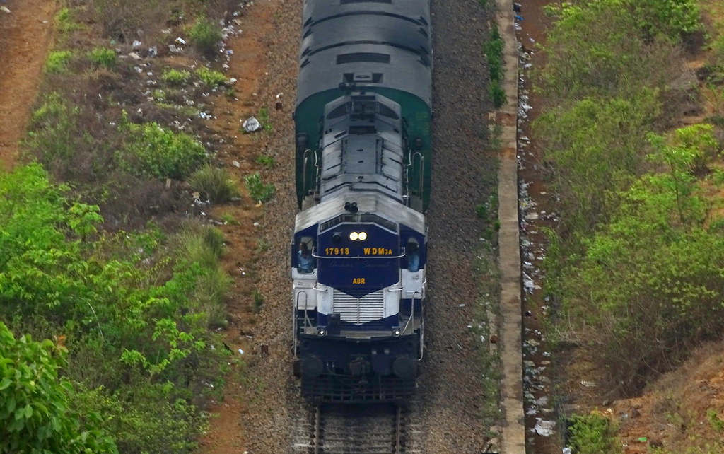
Top view of racing Abu Road (ABR) WDM3A 17918
CSP_6018.JPG
A Bird's eye angle view of the Nation's longest running RAJDHANI EXPRESS
CSP_6016.JPG
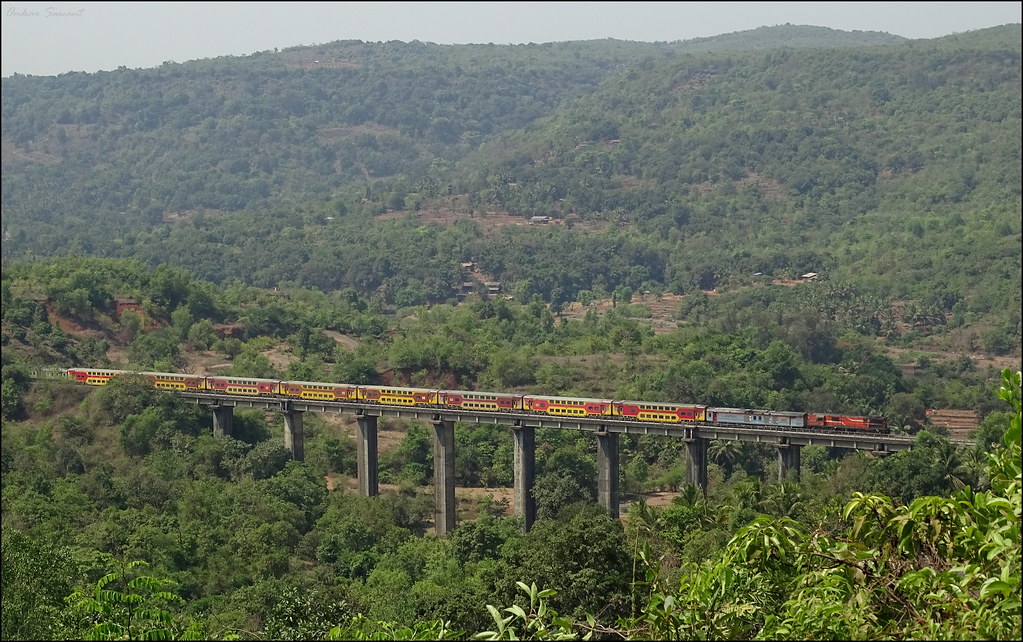
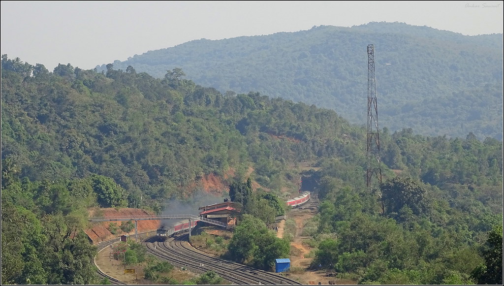
Kalyan WDG3A locomotive with Madgaon Mumbai Double Decker Express at Chindravali Viaduct
Dhabhole Ghat,
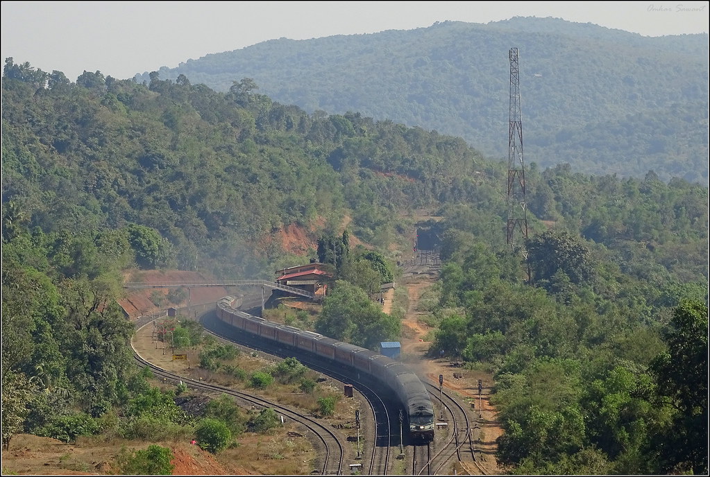
12431 Trivendrum Delhi Rajdhani Express
Topographic Map of Lanja, Maharashtra, India
Find elevation by address:

Places near Lanja, Maharashtra, India:
Machal Hill Station
Veravli Kh.
Veravli Bk.
Shivane Bk.
Beni Bk.
Mandavkarwadi
Gavadi
Kondsar Kh.
Kondsar Bk.
Pangare Budruk
Tamhane
Wadi Kh
Shembavane
Shivane Khurd
Manjare
Anuskura
Pangari Kh.
Yelwan Jugai
Mosam
Math Kh.
Recent Searches:
- Elevation of Corso Fratelli Cairoli, 35, Macerata MC, Italy
- Elevation of Tallevast Rd, Sarasota, FL, USA
- Elevation of 4th St E, Sonoma, CA, USA
- Elevation of Black Hollow Rd, Pennsdale, PA, USA
- Elevation of Oakland Ave, Williamsport, PA, USA
- Elevation of Pedrógão Grande, Portugal
- Elevation of Klee Dr, Martinsburg, WV, USA
- Elevation of Via Roma, Pieranica CR, Italy
- Elevation of Tavkvetili Mountain, Georgia
- Elevation of Hartfords Bluff Cir, Mt Pleasant, SC, USA