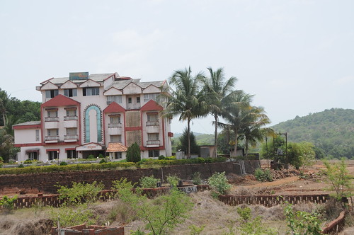
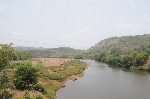
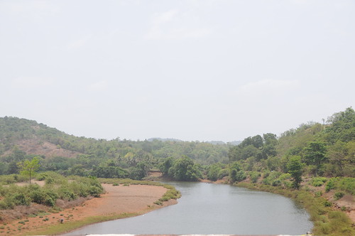
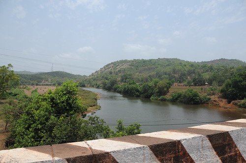
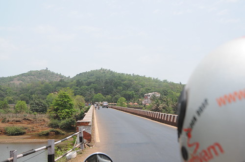
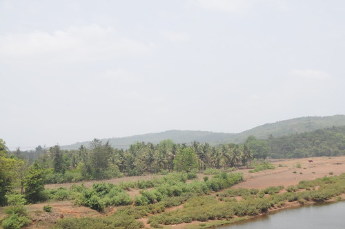
Elevation of Tamhane, Maharashtra, India
Location: India > Maharashtra > Ratnagiri >
Longitude: 73.6948234
Latitude: 16.6854485
Elevation: 173m / 568feet
Barometric Pressure: 99KPa
Related Photos:
Topographic Map of Tamhane, Maharashtra, India
Find elevation by address:

Places near Tamhane, Maharashtra, India:
Math Kh.
Pangari Kh.
Mosam
Pangare Budruk
Gavadi
Anuskura
Mandavkarwadi
Veravli Bk.
Barki
Shembavane
Veravli Kh.
Kode Budruk Dam
Kolik
Manjare
Gaganbawda
Vesaraf
Kante
Shivane Bk.
Kumbhavade
Sangashi
Recent Searches:
- Elevation of Corso Fratelli Cairoli, 35, Macerata MC, Italy
- Elevation of Tallevast Rd, Sarasota, FL, USA
- Elevation of 4th St E, Sonoma, CA, USA
- Elevation of Black Hollow Rd, Pennsdale, PA, USA
- Elevation of Oakland Ave, Williamsport, PA, USA
- Elevation of Pedrógão Grande, Portugal
- Elevation of Klee Dr, Martinsburg, WV, USA
- Elevation of Via Roma, Pieranica CR, Italy
- Elevation of Tavkvetili Mountain, Georgia
- Elevation of Hartfords Bluff Cir, Mt Pleasant, SC, USA
