Elevation of Kondsar Kh., Maharashtra, India
Location: India > Maharashtra > Ratnagiri >
Longitude: 73.3502377
Latitude: 16.7459046
Elevation: 44m / 144feet
Barometric Pressure: 101KPa
Elevation Map:
Satellite Map:
Related Photos:

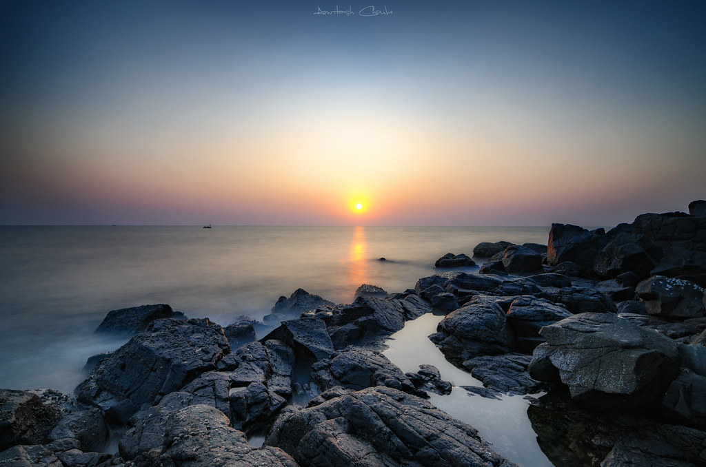
The Sea hush

Day or NIght ?

Summer Vibes

Ganpati 2013

Ganpati 2013
Solivagant Thoughts

S u n d o w n

Bye Bye 2017
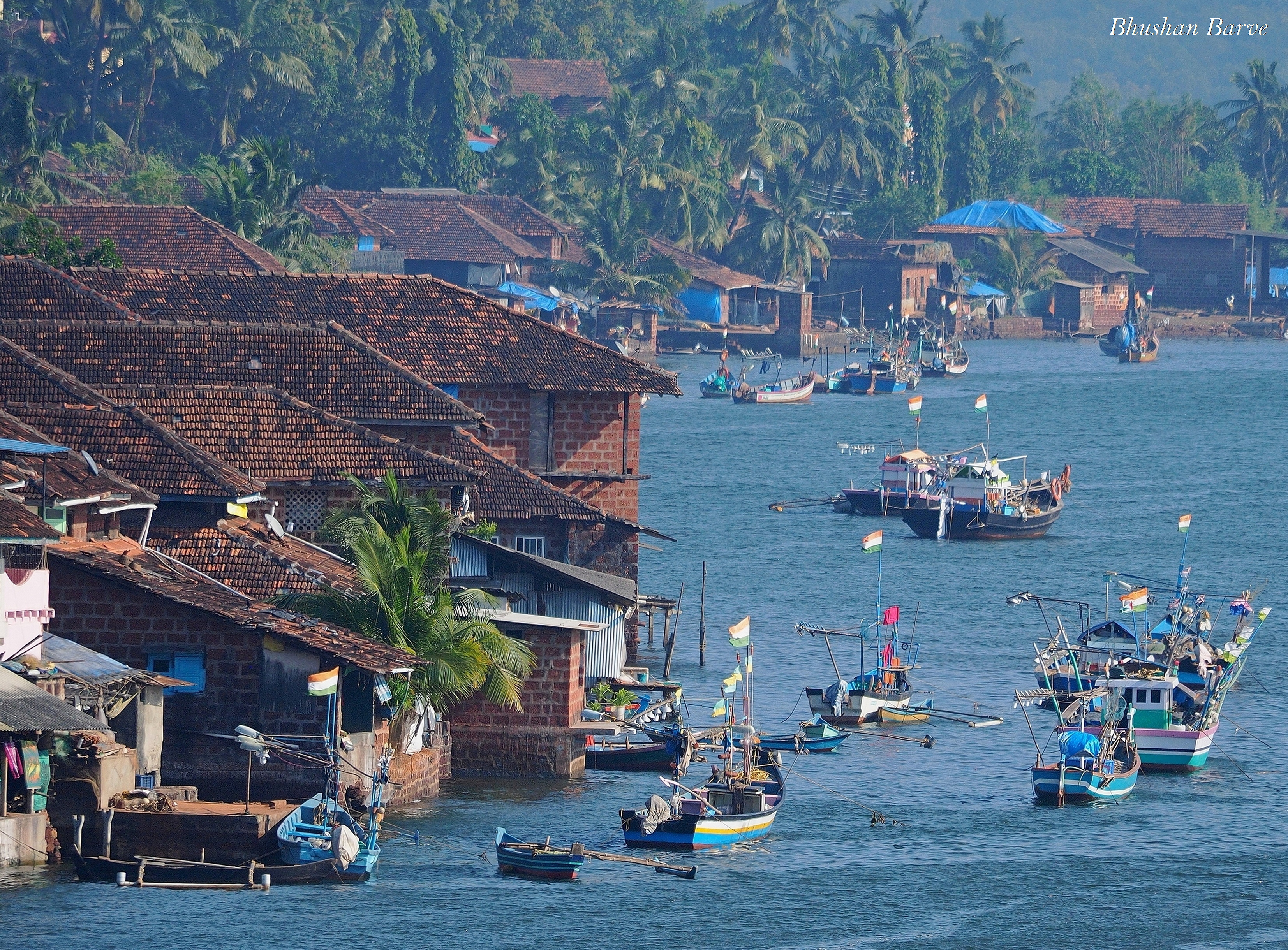
Purnagad - A coastal village in Konkan, India
Topographic Map of Kondsar Kh., Maharashtra, India
Find elevation by address:

Places near Kondsar Kh., Maharashtra, India:
Kondsar Bk.
Wadi Kh
Beni Bk.
Shivane Bk.
Shivane Khurd
Vijaydurg Fort
Vijaydurg
Mandavkarwadi
Machal Hill Station
Lanja
Pangare Budruk
Veravli Kh.
Veravli Bk.
Mosam
Tamhane
Math Kh.
Gavadi
Sindhudurg
Shembavane
Pangari Kh.
Recent Searches:
- Elevation of Corso Fratelli Cairoli, 35, Macerata MC, Italy
- Elevation of Tallevast Rd, Sarasota, FL, USA
- Elevation of 4th St E, Sonoma, CA, USA
- Elevation of Black Hollow Rd, Pennsdale, PA, USA
- Elevation of Oakland Ave, Williamsport, PA, USA
- Elevation of Pedrógão Grande, Portugal
- Elevation of Klee Dr, Martinsburg, WV, USA
- Elevation of Via Roma, Pieranica CR, Italy
- Elevation of Tavkvetili Mountain, Georgia
- Elevation of Hartfords Bluff Cir, Mt Pleasant, SC, USA