Elevation of Lane, Ln, Eckert, CO, USA
Location: United States > Colorado > Delta County > Cedaredge >
Longitude: -107.92314
Latitude: 38.8706117
Elevation: 1714m / 5623feet
Barometric Pressure: 82KPa
Elevation Map:
Satellite Map:
Related Photos:

_CEC9521 IOOF Meeting Hall - 1927

Pacing on Highway 92

On Top of Crag's Crest
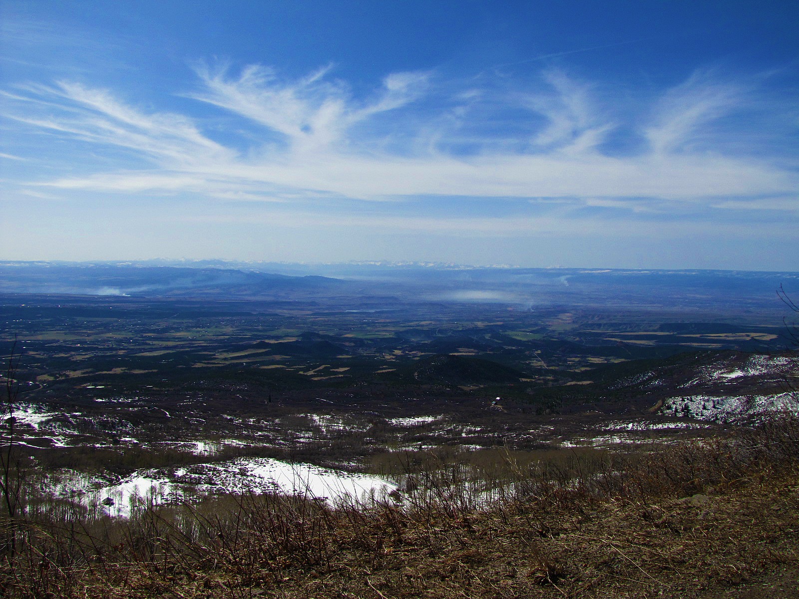
Purposeful fires and a distant view

Another View From the Top

Highway 92 - Delta County, CO
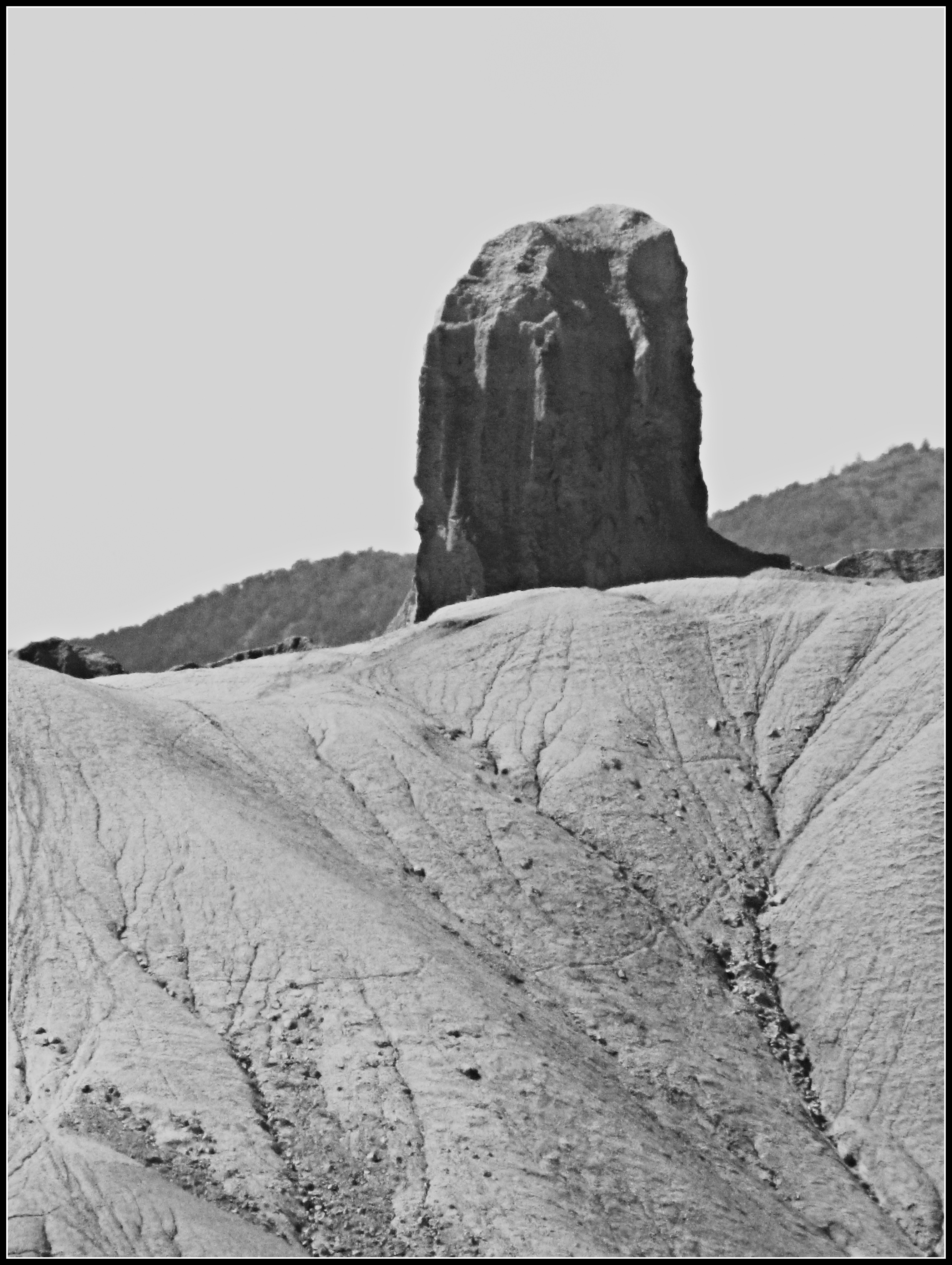
Devil's Thumb (close view)

Mountain View Bible Church

Old farm equipment #2
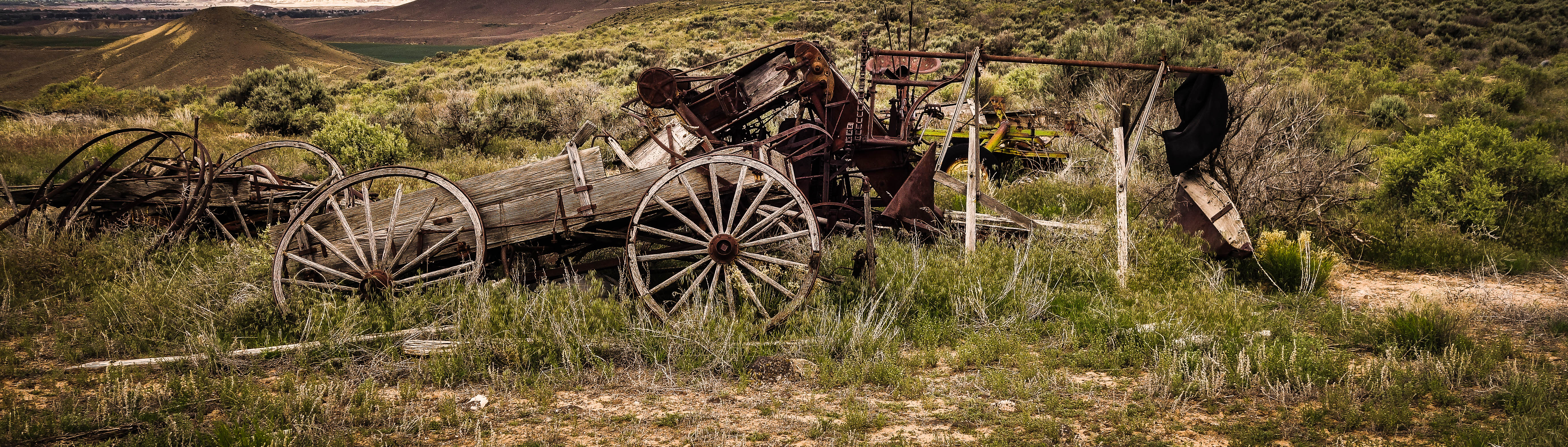
Old farm equipment #1

Fluffy happy clouds
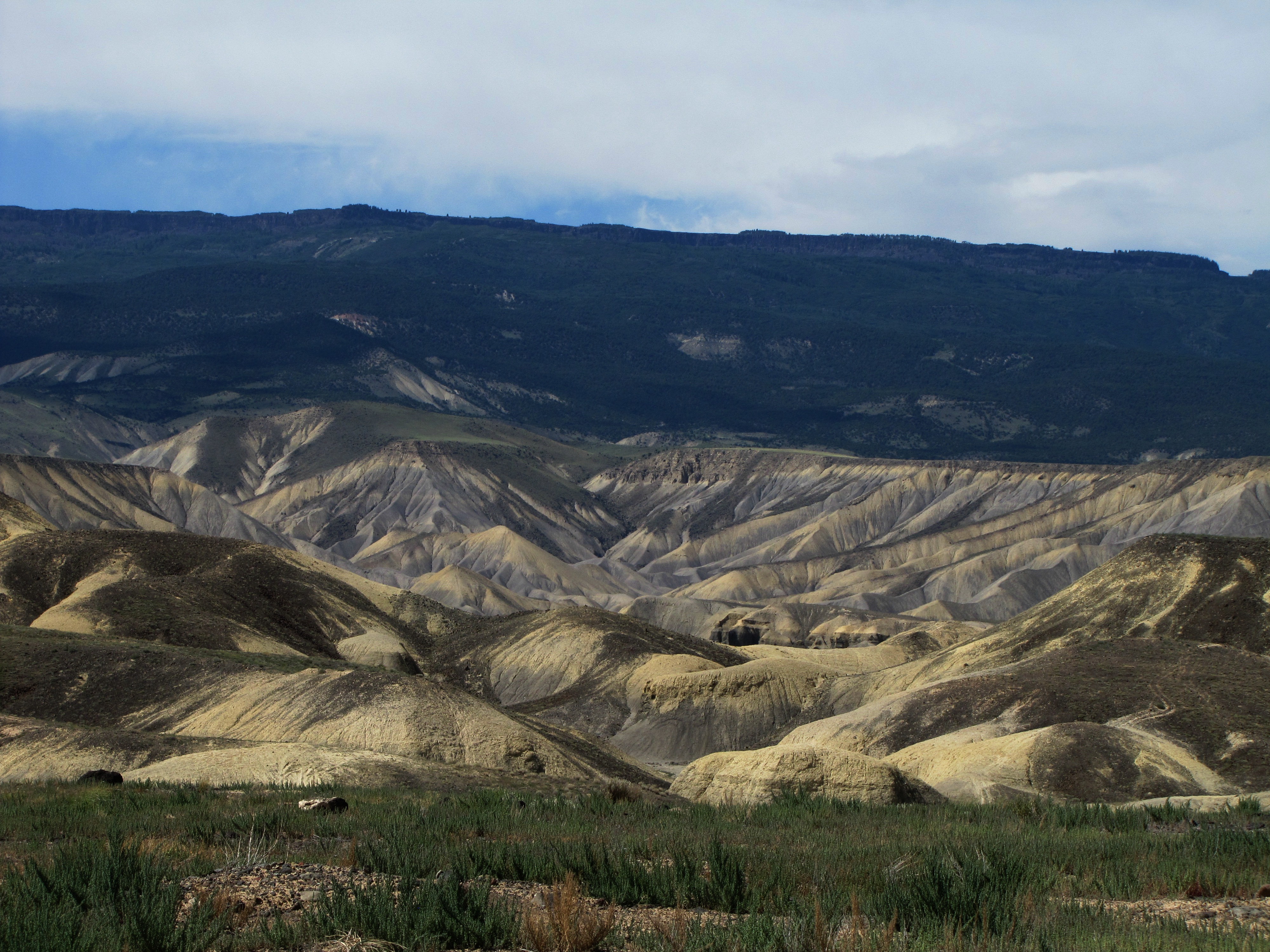
Adobe landscape north of Delta

Saltbush in the Dobies
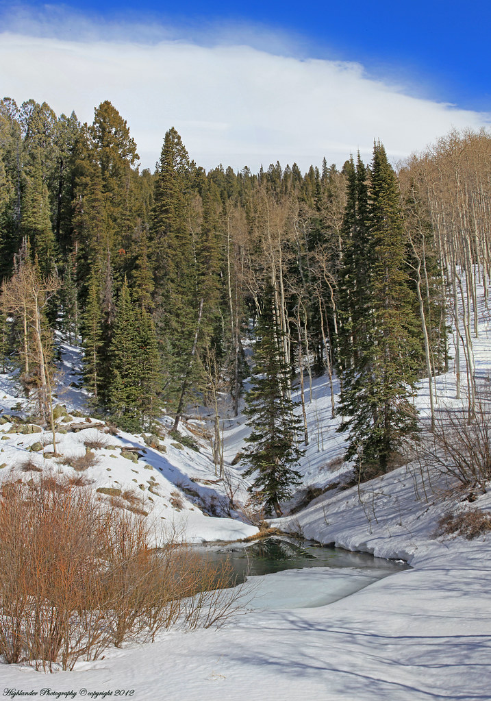
Vertorama.....Winters cold grip
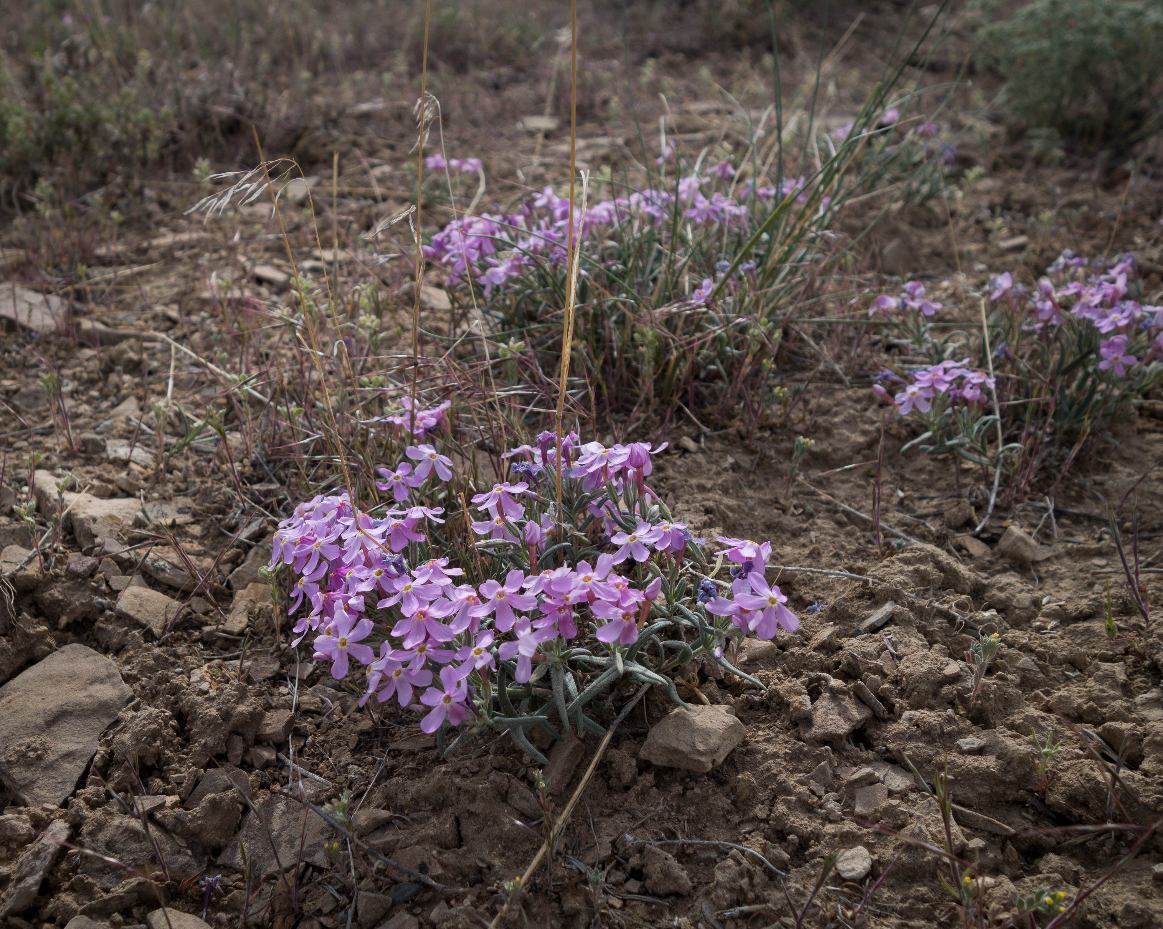
Patches of color in the drab landscape
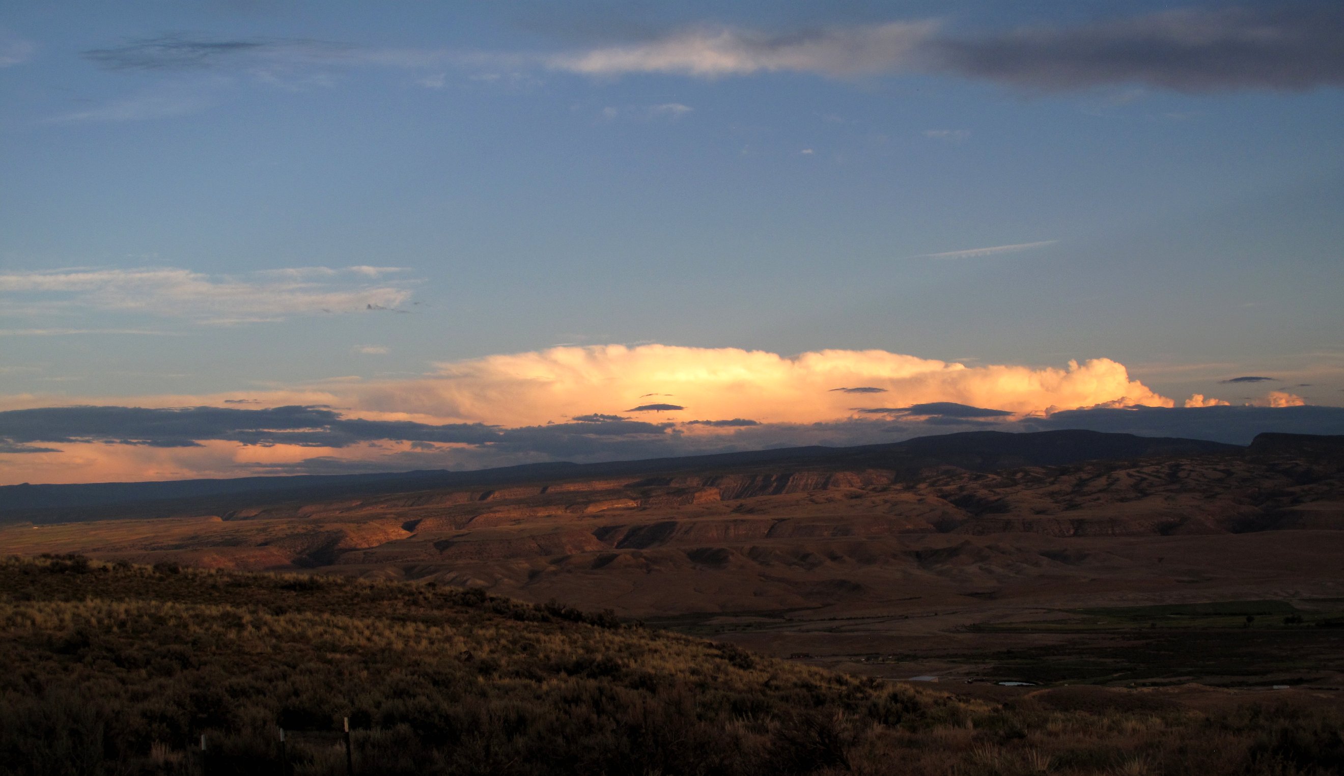
Sunset over the plateaus

The Cottenwood in winter
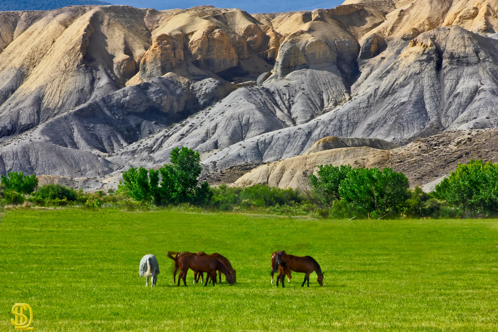
Adobe Horses
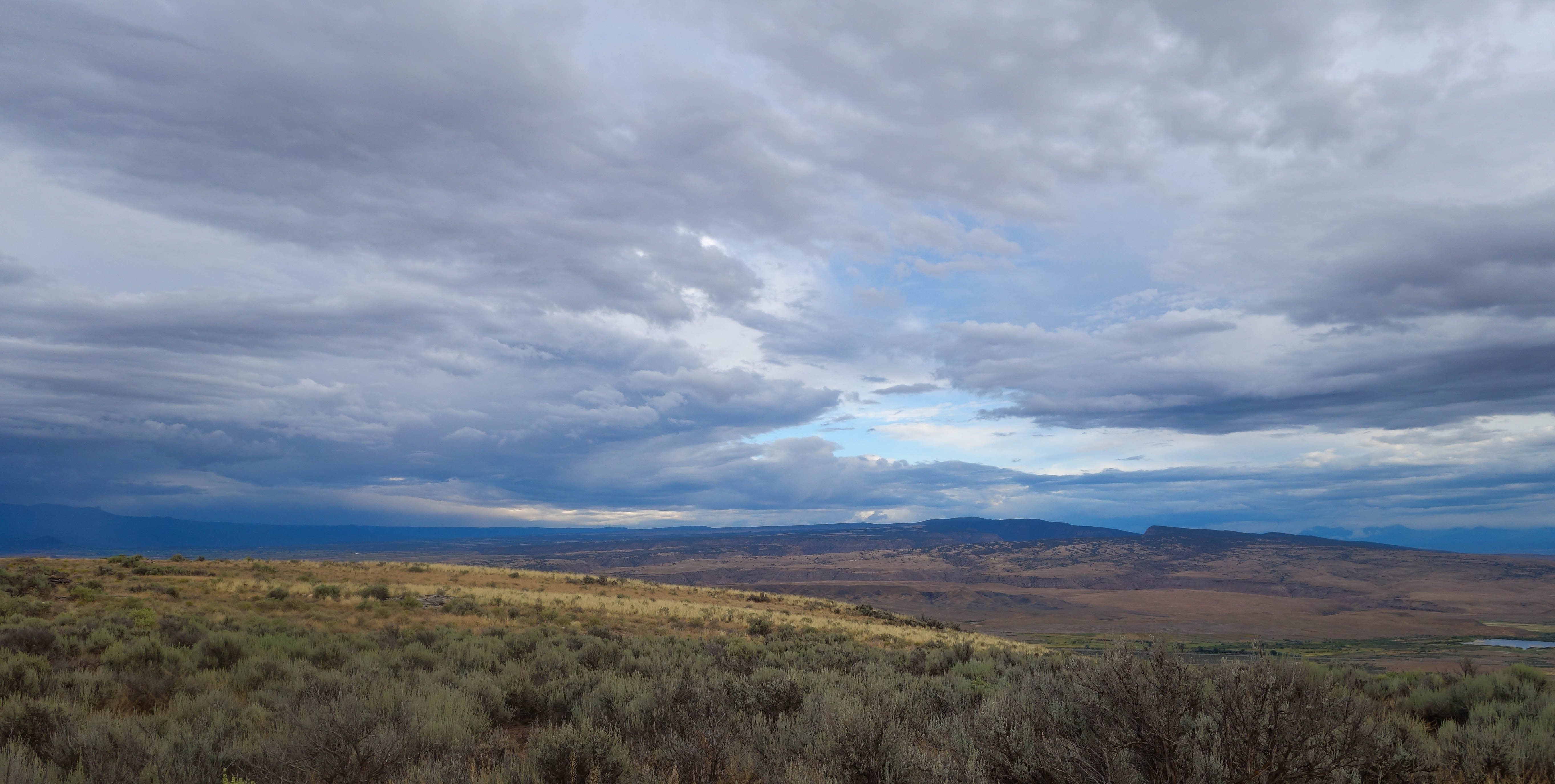
Mesas in the storm
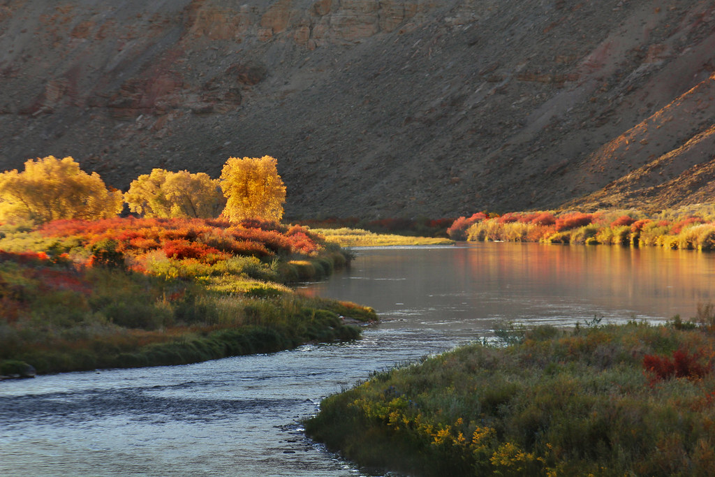
Gunnison Gorge 2
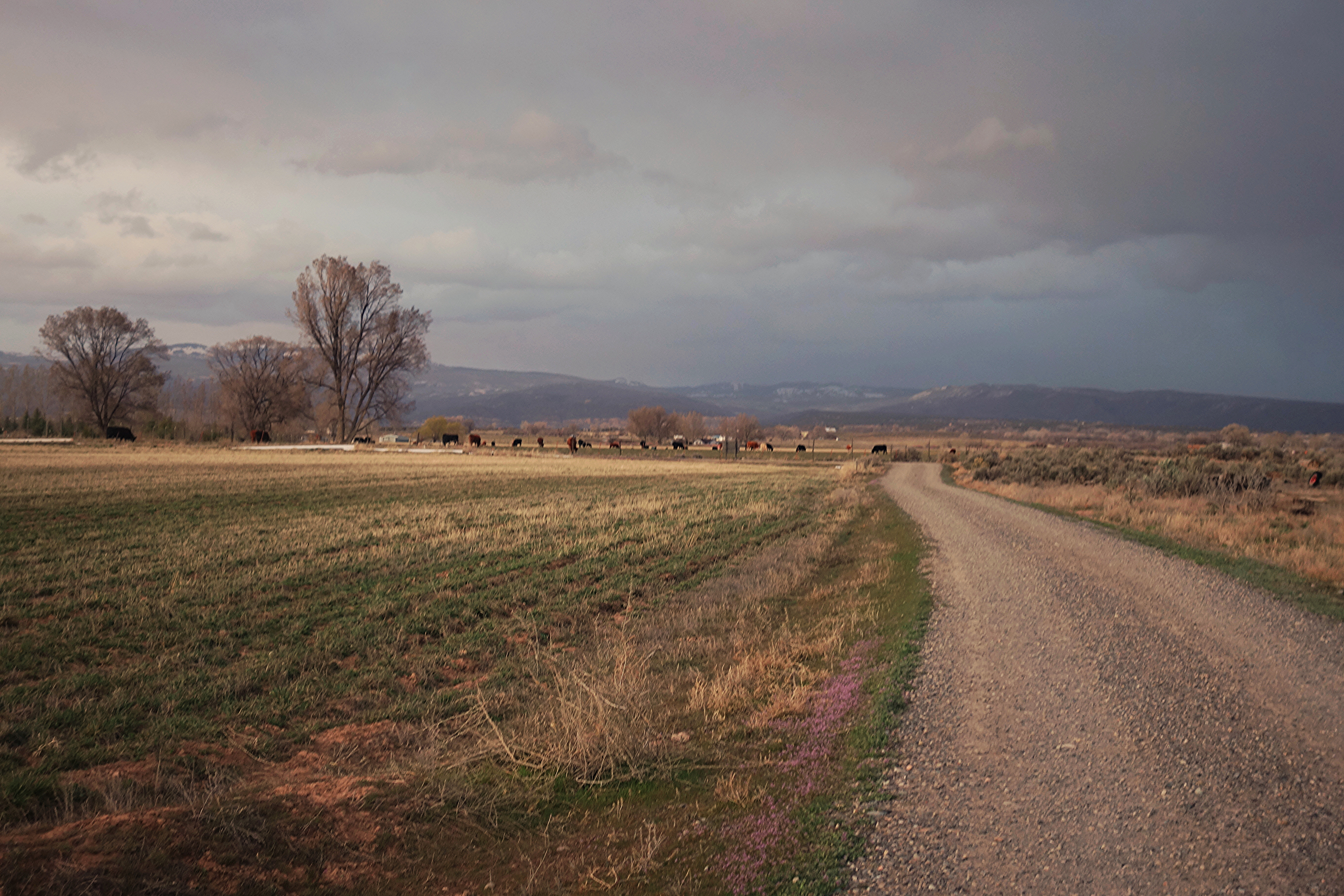
Colorado farmland

A Shady Spot

Back to the Beginning
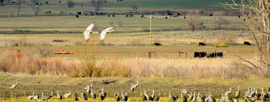
Sand Hill's
H75 Road
_MG_5299.jpg
Fired up sunset over the Delta County dobies
_MG_5460.jpg

Gunnison Gorge Highway
Topographic Map of Lane, Ln, Eckert, CO, USA
Find elevation by address:

Places near Lane, Ln, Eckert, CO, USA:
475 Se Birdie Cir
Cedaredge Pharmacy
Ember Road
Cedaredge
24821 Cactus Park Rd
345 Nw Cedar Ave
13599 2600 Rd
430 Ne 4th St
15823 Peach Rd
597 Ne Ginters Grove Ln
18122 Surface Creek Rd
17679 2550 Rd
18058 Hanson Rd
26647 Redlands Mesa Rd
26516 Redlands Mesa Rd
19484 2375 Rd
T 50 Road
14769 Rimrock Rd
27154 Cedar Mesa Rd
2750 Lane
Recent Searches:
- Elevation of Corso Fratelli Cairoli, 35, Macerata MC, Italy
- Elevation of Tallevast Rd, Sarasota, FL, USA
- Elevation of 4th St E, Sonoma, CA, USA
- Elevation of Black Hollow Rd, Pennsdale, PA, USA
- Elevation of Oakland Ave, Williamsport, PA, USA
- Elevation of Pedrógão Grande, Portugal
- Elevation of Klee Dr, Martinsburg, WV, USA
- Elevation of Via Roma, Pieranica CR, Italy
- Elevation of Tavkvetili Mountain, Georgia
- Elevation of Hartfords Bluff Cir, Mt Pleasant, SC, USA