Elevation of Lakewood Rd, Bowling Green, VA, USA
Location: United States > Virginia > Caroline County > Bowling Green > Bowling Green >
Longitude: -77.340968
Latitude: 38.0639309
Elevation: 58m / 190feet
Barometric Pressure: 101KPa
Elevation Map:
Satellite Map:
Related Photos:

Big Birthday for the Boy Scouts of America
Bringing the Southwest to Virginia

Setting the Stage for the Next 100 Years of Scouting

Illuminating the Spirit of Scouting
Radio Station a

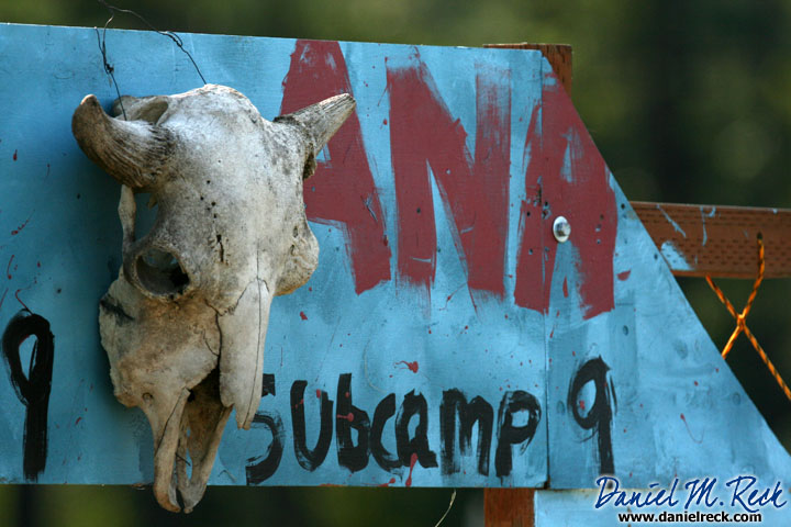
Subcamp 1
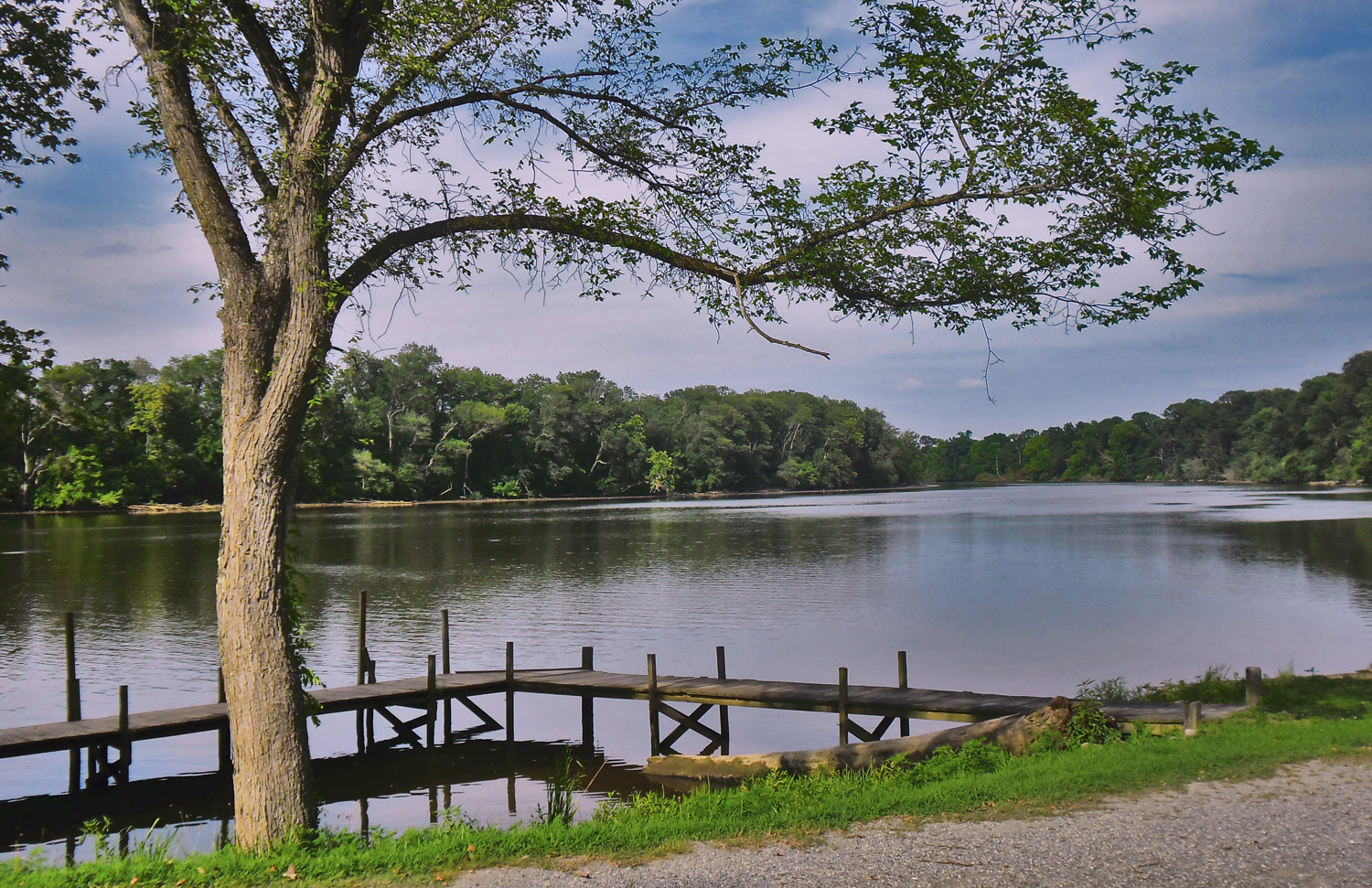
Rappahannock River at Hicks' landing, Caroline County, VA
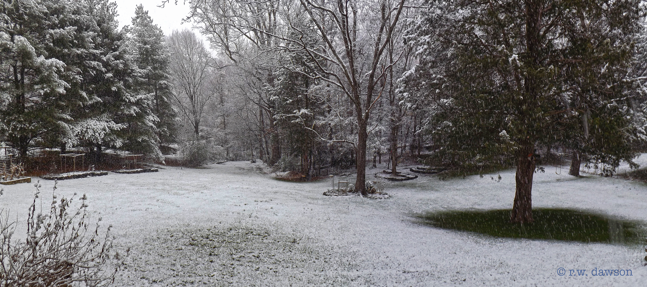
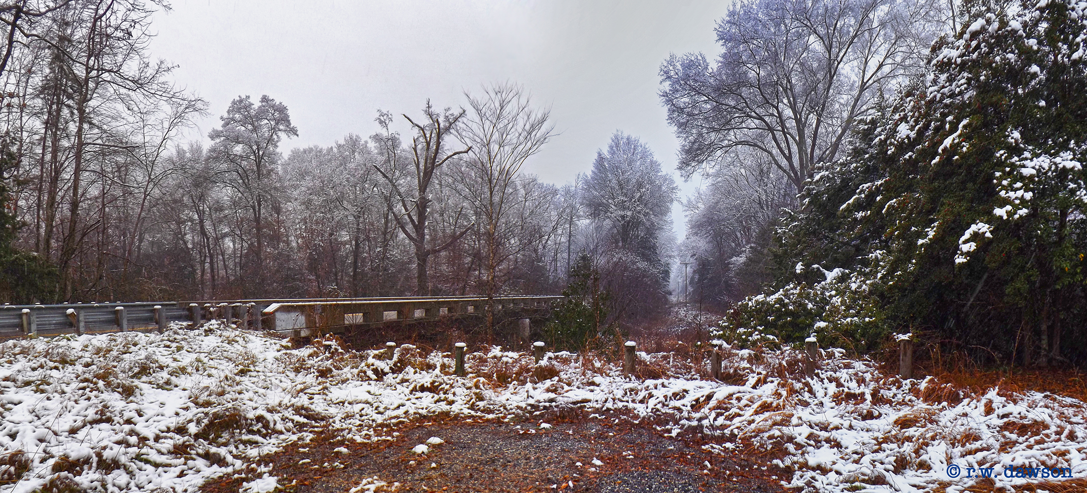
First Snow
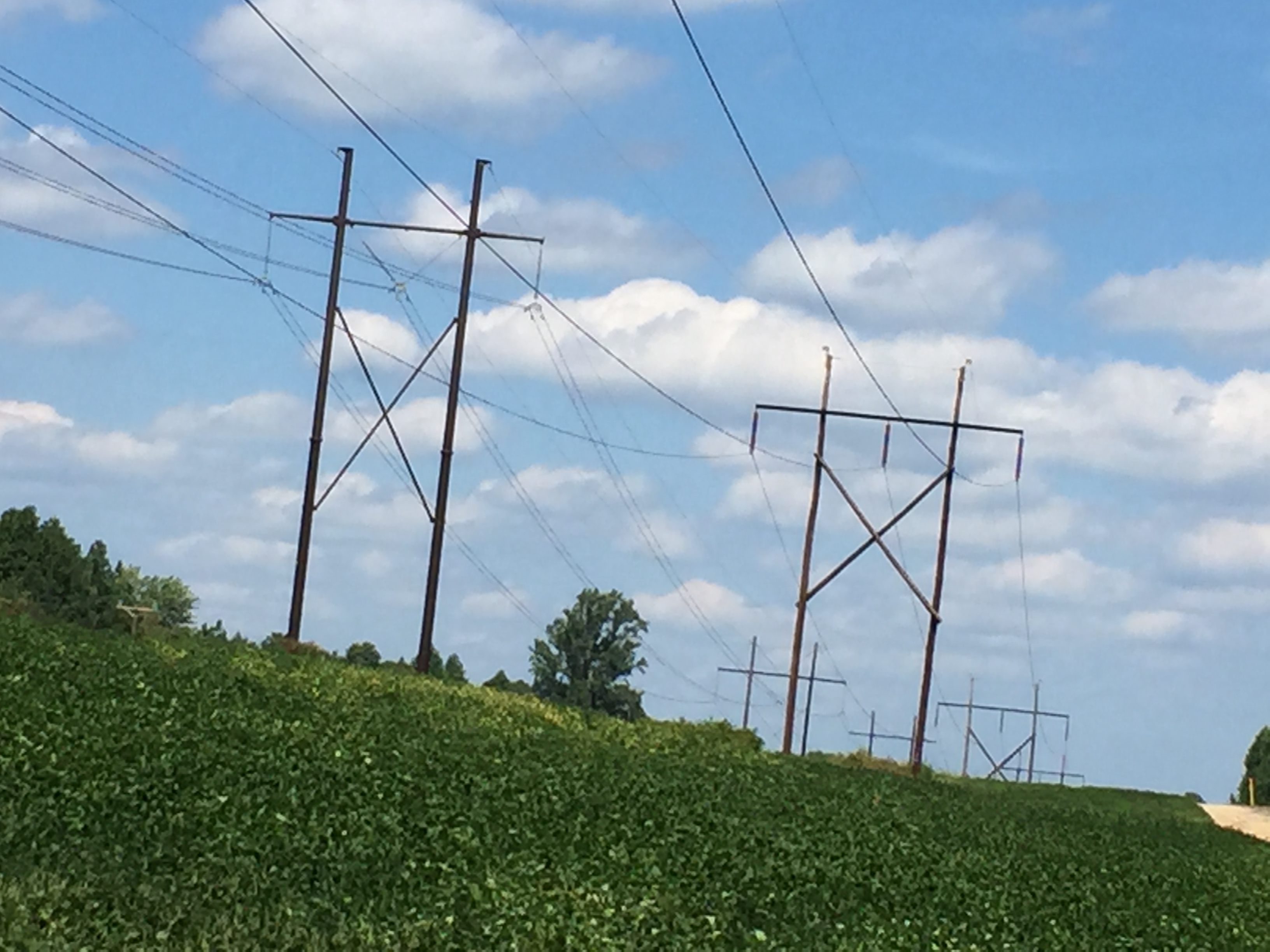
Rappahanock Electric Coop VA
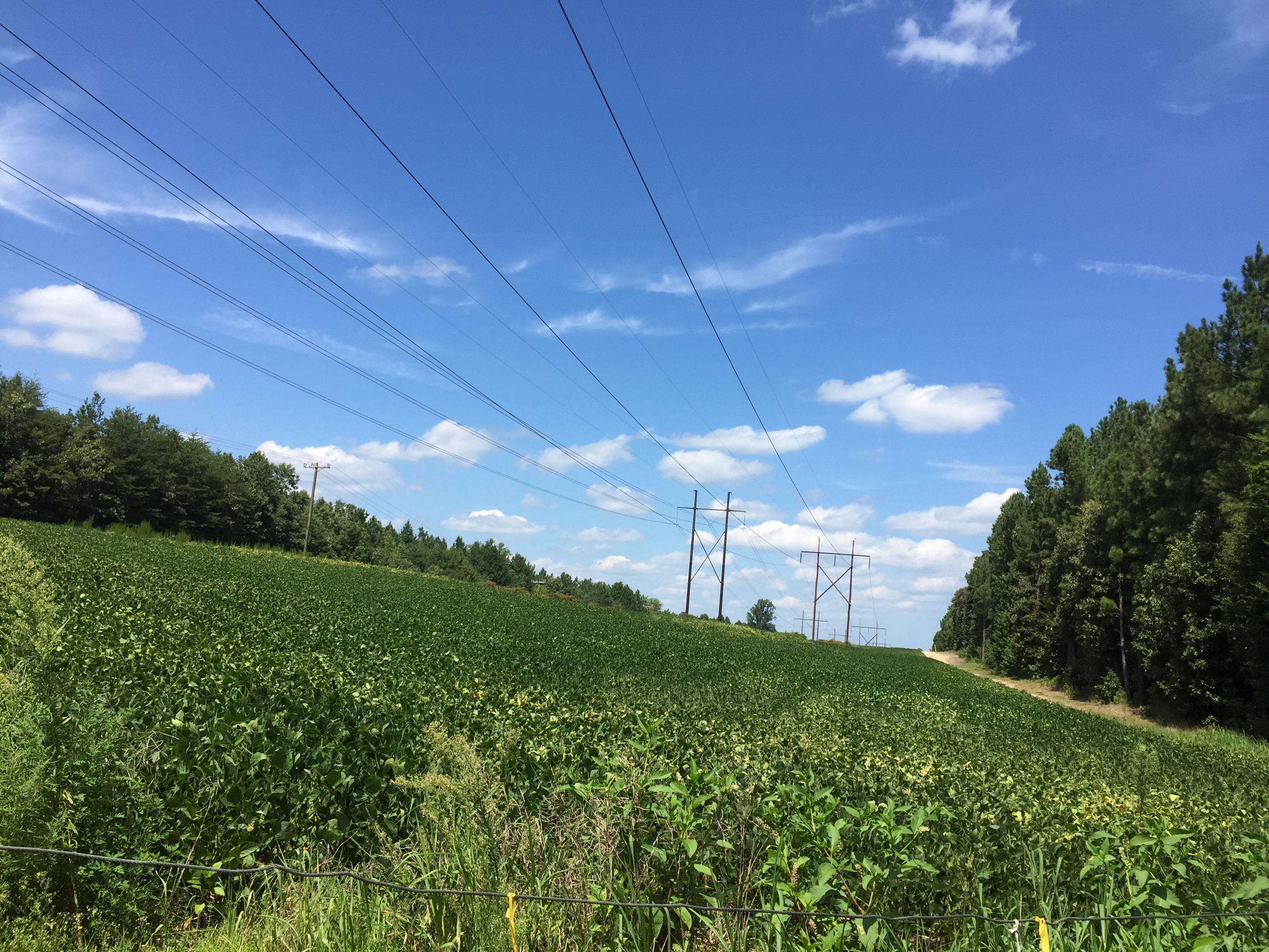
Rappahanock Electric Coop VA
Mattaponi WMA, Caroline County Virginia

last autumn colors
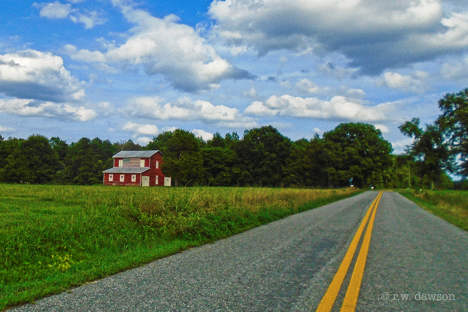
Flag Barn
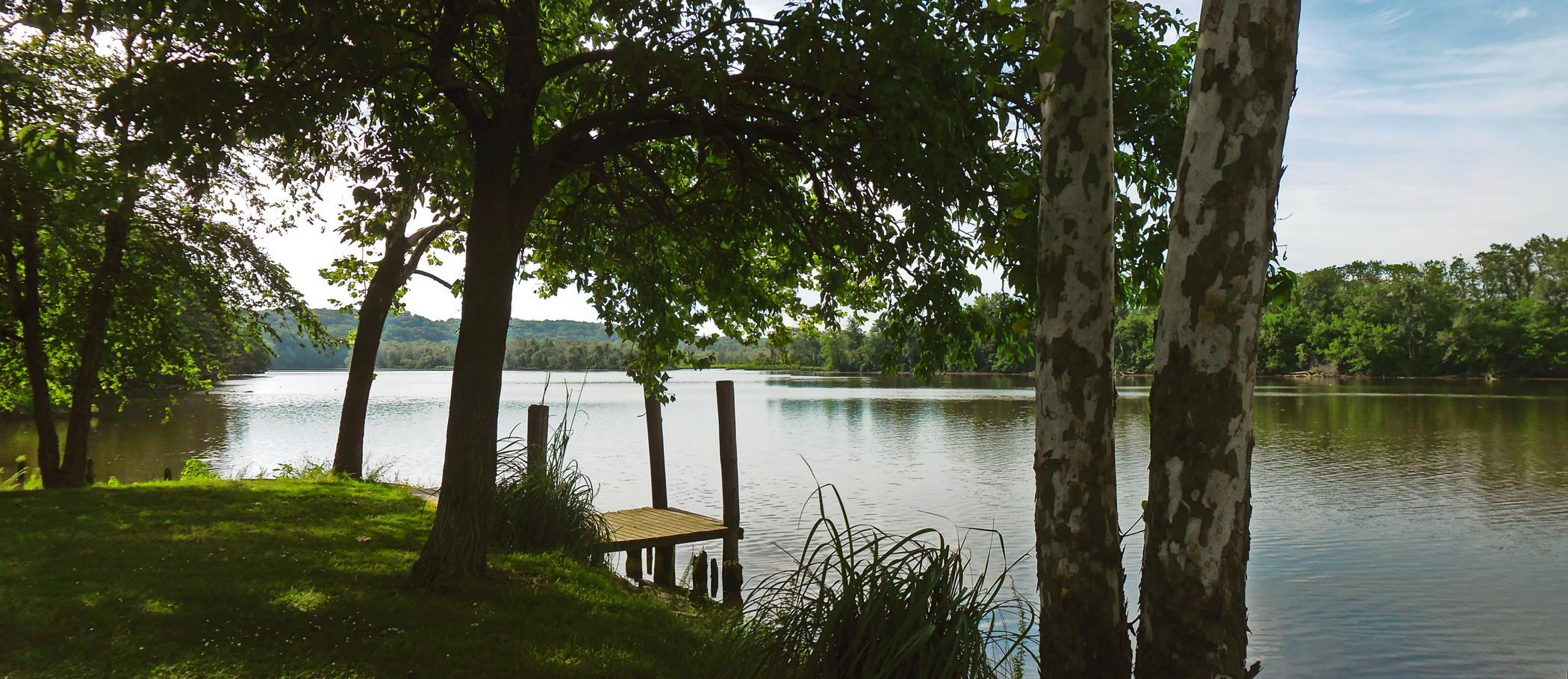
Rappahannock River at Hicks' landing, Caroline County, VA
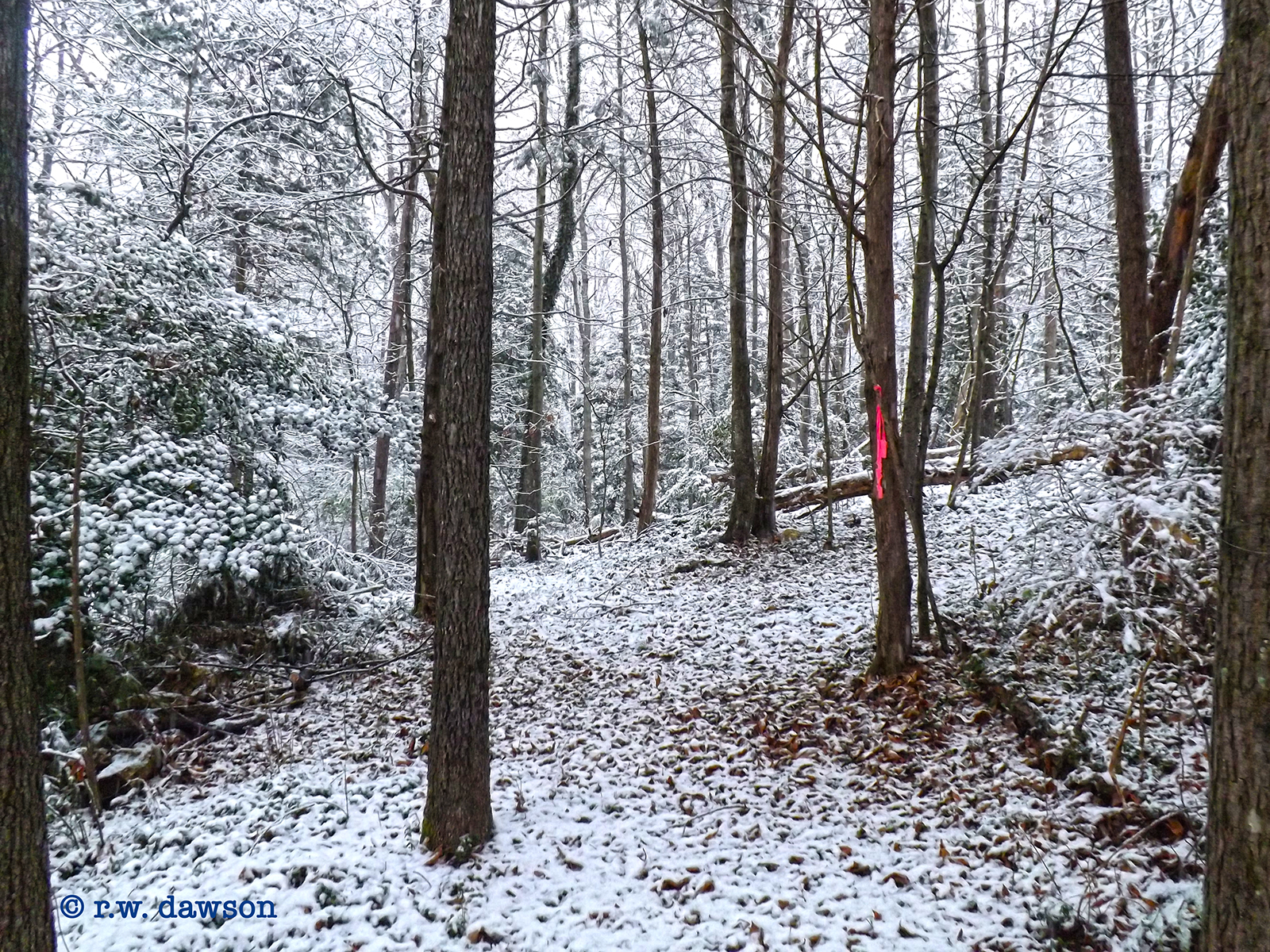
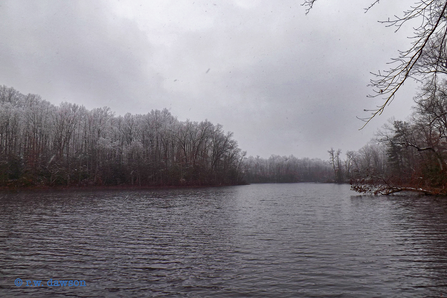
First Snow
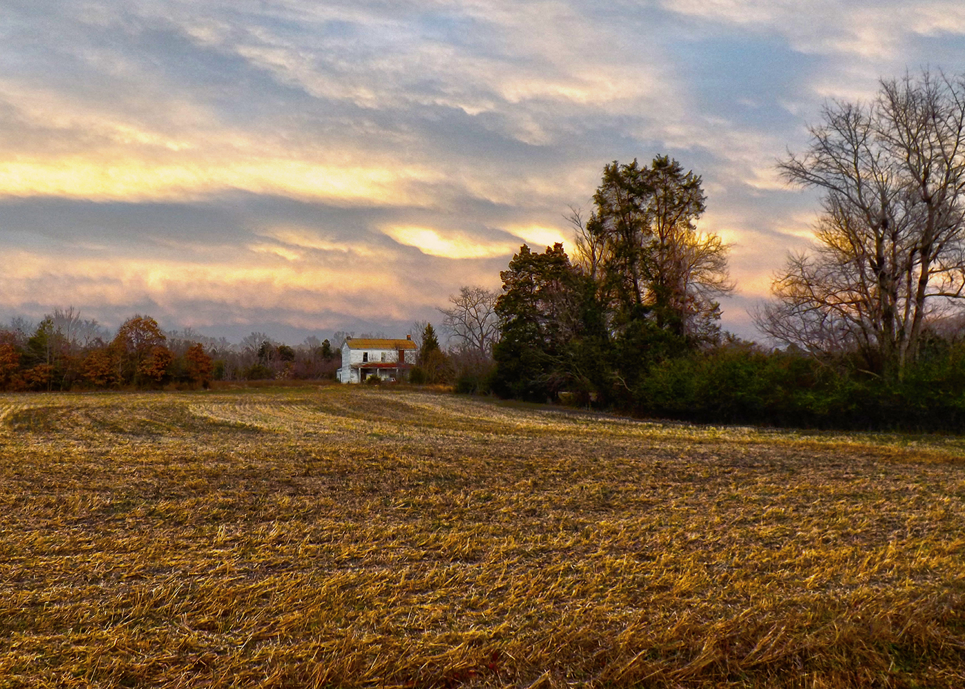
Garrett Farm
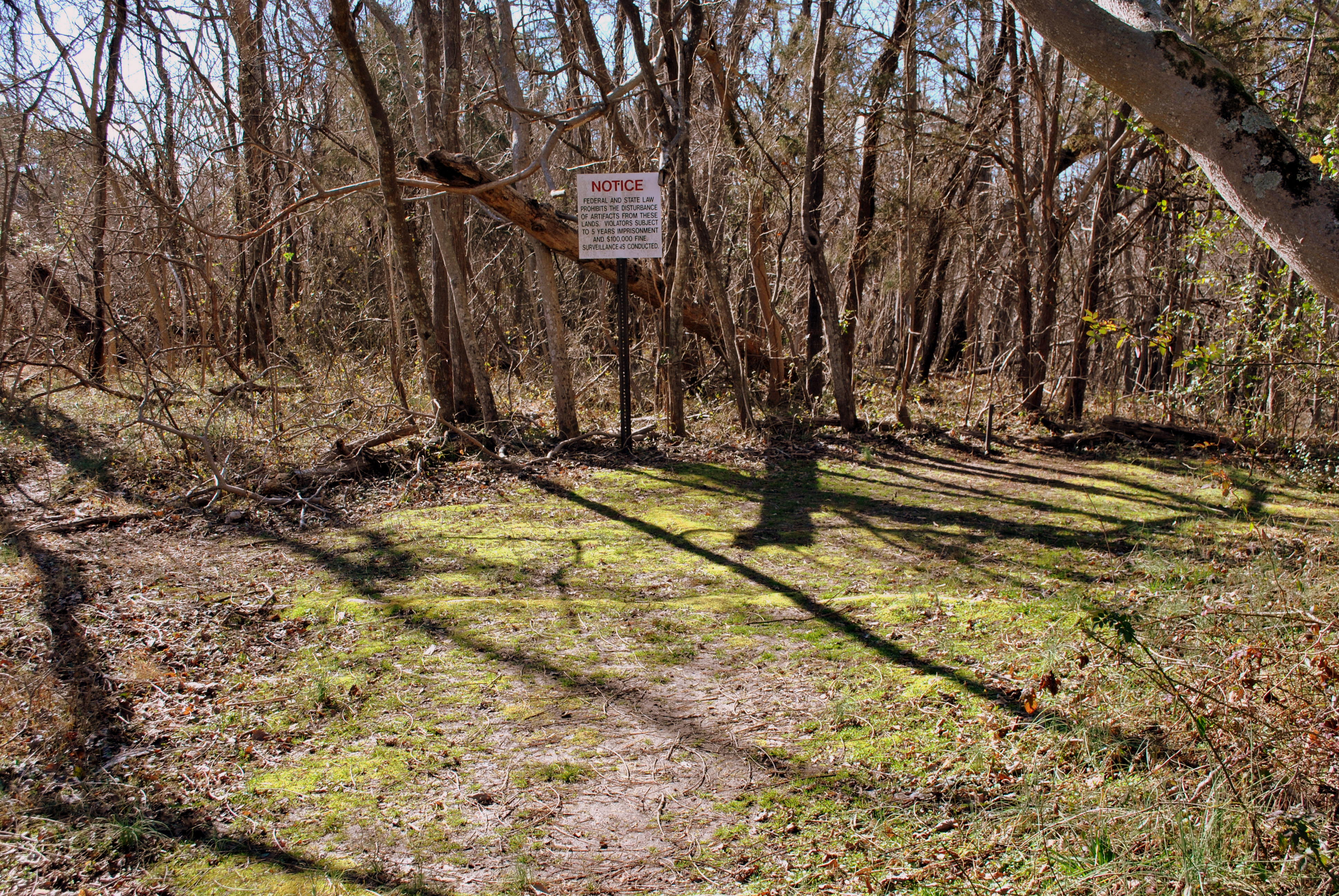
Former site of the Garrett Farmhouse.
Remains of a Farm House and Barn
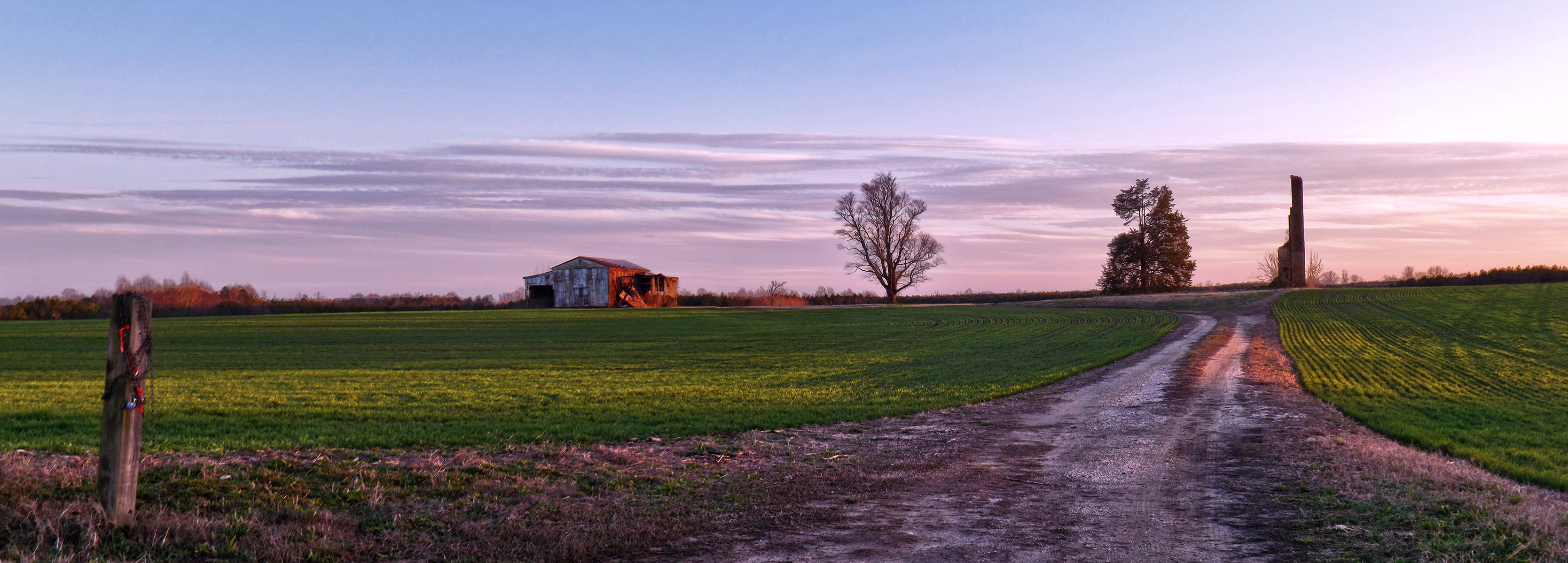
Harvested Field and Abandoned House
Stonewall Jackson Shrine,Guinea Station,VA
Collins Mill Pond II
Bridge Crossing the Mattaponi
Broaddus Pond
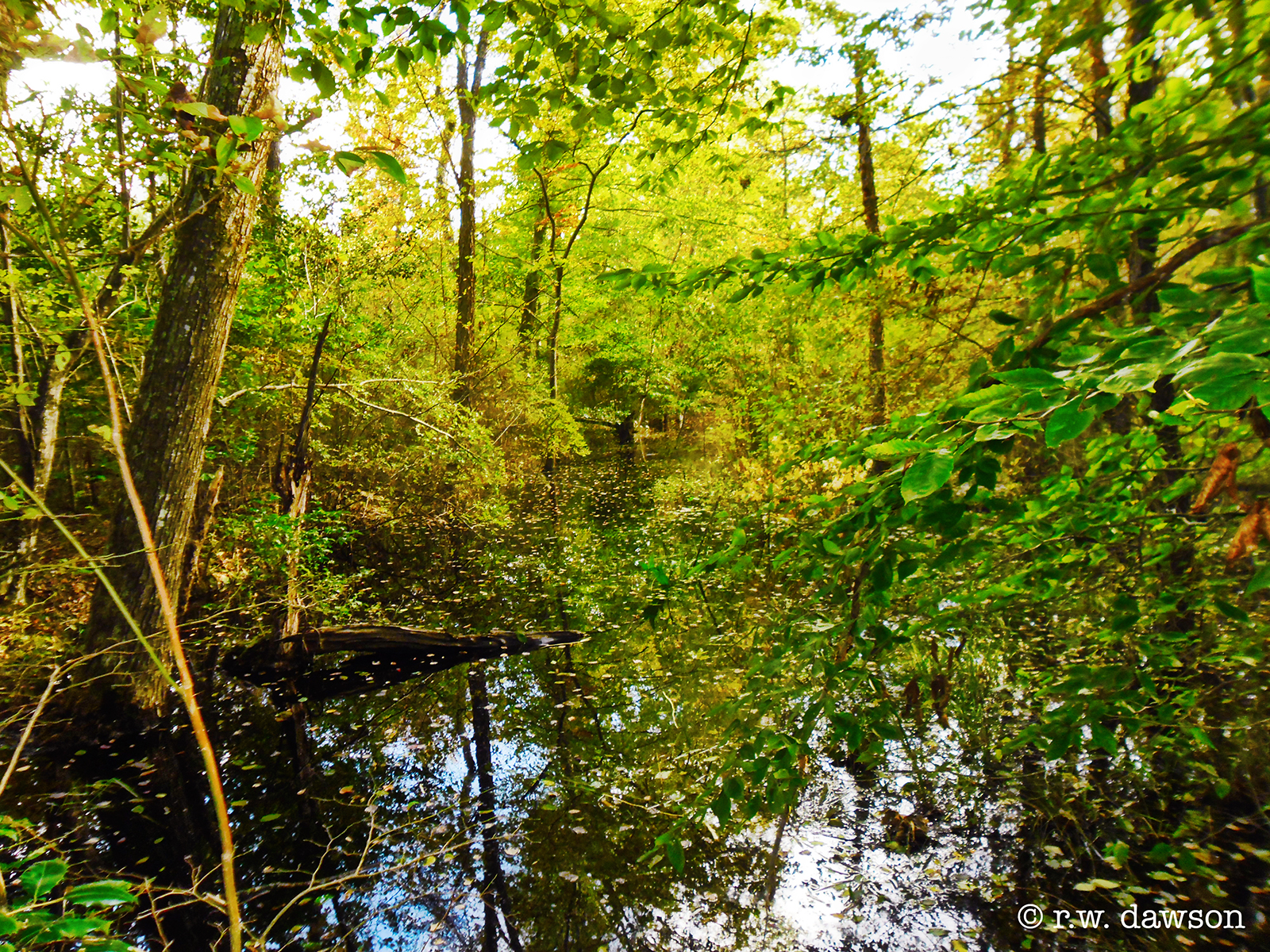
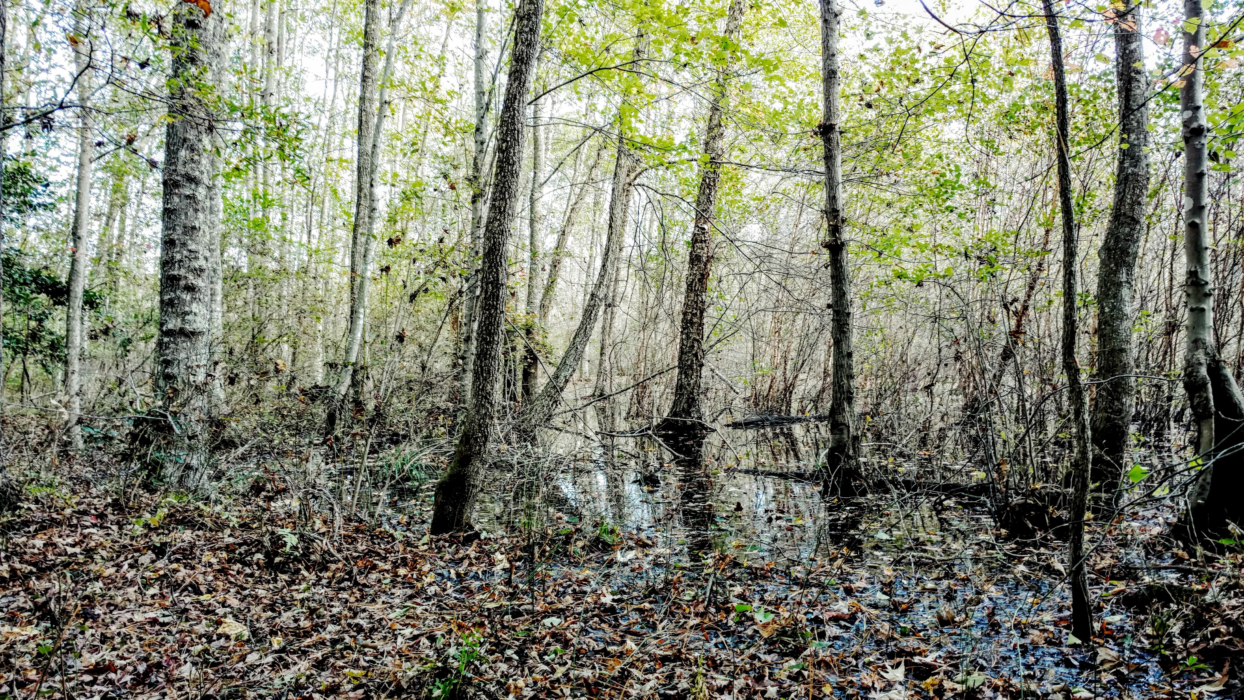
Wetlands at the Mattaponi WMA
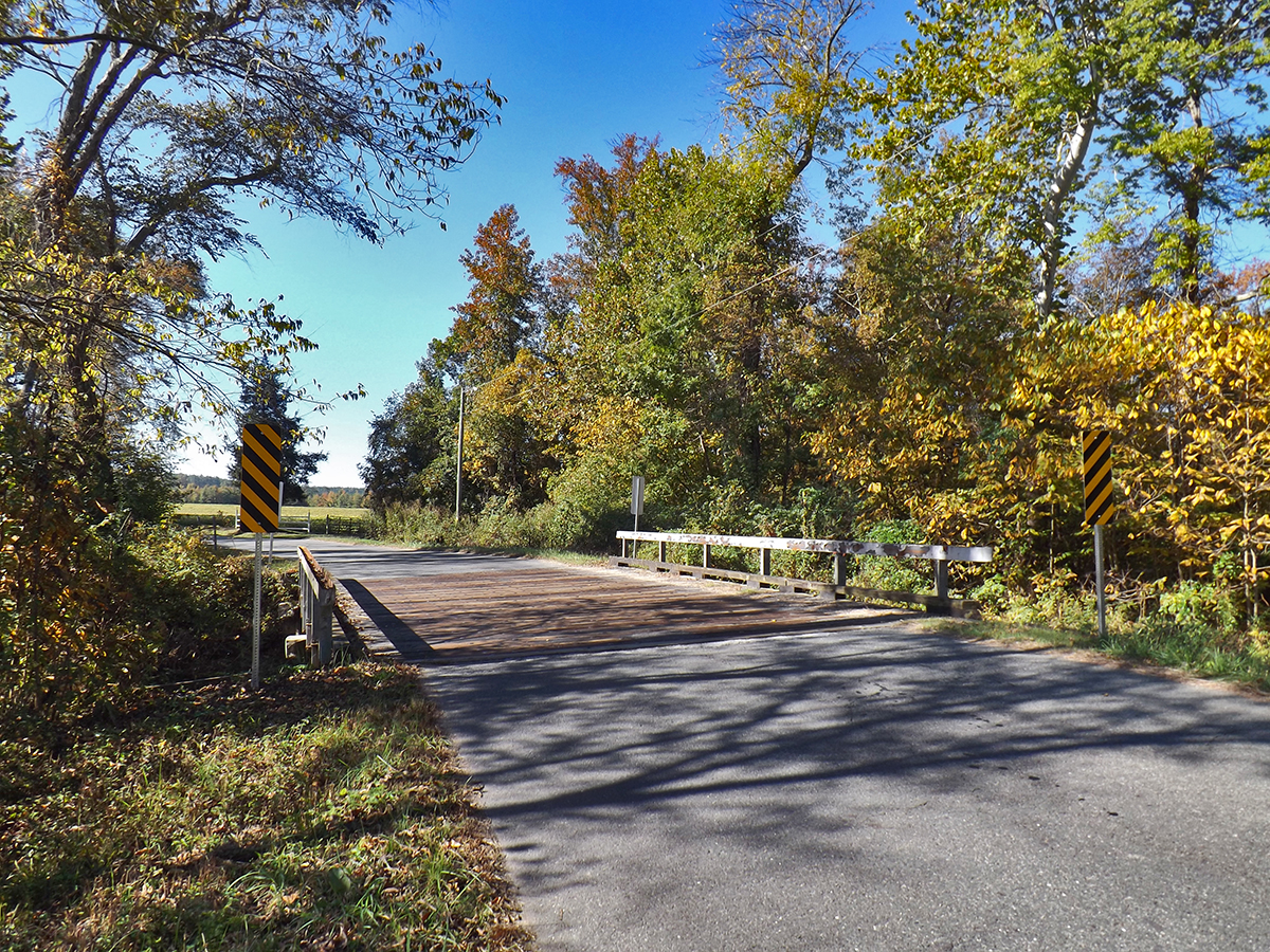
Small Bridge over the Matta River, Caroline County, VA
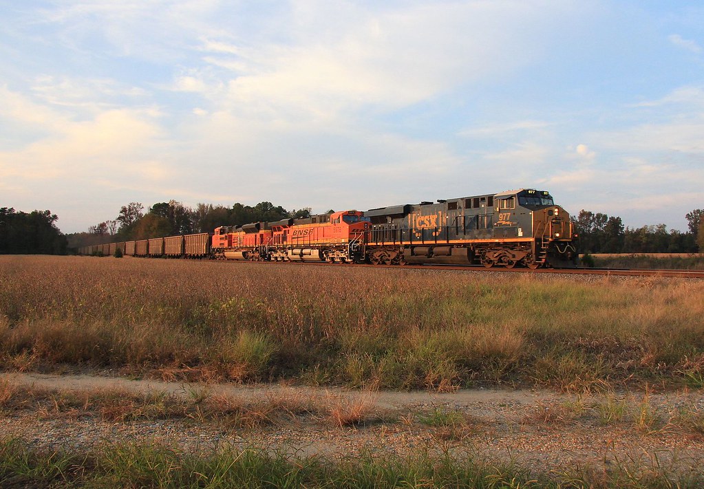
T315-18
Day 35: Richmond to Stafford
Topographic Map of Lakewood Rd, Bowling Green, VA, USA
Find elevation by address:

Places near Lakewood Rd, Bowling Green, VA, USA:
Fort Walker
Maple Drive
Caroline County
Perimeter Rd, Bowling Green, VA, USA
Port Royal
Perimeter Rd, Bowling Green, VA, USA
Beverly Run Rd, Bowling Green, VA, USA
Bowling Green
Ware Creek Rd, Rappahannock Academy, VA, USA
26073 Tidewater Trail
Lauraville Ln, Milford, VA, USA
Port Royal
926 Caroline St
1190 Kings Hwy
Kings Hwy, King George, VA, USA
Mccarthy Drive
5224 Spinnaker Ln
Hustle Rd, Caret, VA, USA
11232 Brassica Ln
James Madison
Recent Searches:
- Elevation of Corso Fratelli Cairoli, 35, Macerata MC, Italy
- Elevation of Tallevast Rd, Sarasota, FL, USA
- Elevation of 4th St E, Sonoma, CA, USA
- Elevation of Black Hollow Rd, Pennsdale, PA, USA
- Elevation of Oakland Ave, Williamsport, PA, USA
- Elevation of Pedrógão Grande, Portugal
- Elevation of Klee Dr, Martinsburg, WV, USA
- Elevation of Via Roma, Pieranica CR, Italy
- Elevation of Tavkvetili Mountain, Georgia
- Elevation of Hartfords Bluff Cir, Mt Pleasant, SC, USA