Elevation of Brassica Ln, King George, VA, USA
Location: United States > Virginia > King George County > Shiloh > King George >
Longitude: -77.256055
Latitude: 38.2584363
Elevation: 18m / 59feet
Barometric Pressure: 101KPa
Elevation Map:
Satellite Map:
Related Photos:

Berry Plain, circa 1720, Dogue, VA

Berry Plain, circa 1720, Dogue, VA

Belle Grove Corvette

Setting the Stage for the Next 100 Years of Scouting

CA Best Friends

Ruffins pond, Spotsylvania County Virginia

National Scout Jamboree Youth Band Perform for Scouting Centennial

Big Birthday for the Boy Scouts of America

Southern Memorial Pyramid
Street View

Illuminating the Spirit of Scouting

The Third Lederer Expedition Historical Highway Marker; Caroline County

Yum! Scottish Scouts Serve Up Haggis

Roadside Flowers

Willow Hill, King George, Virginia
Bringing the Southwest to Virginia

Ice on the Potomac

Along the Tidewater Trail - 2
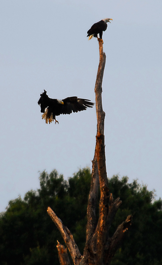
...the eagle is landing...

White Oak Civil War Museum & Stafford Research Center

Replica Civil War Soldiers Quarters (1862-63)

Winding Farm Road at Twilight

MARMION Highway Marker, King George County, Virginia

Rappahannock River at Hicks' landing, Caroline County, VA

Rappahannock River at Hicks' landing, Caroline County, VA
Patawomeck Medicine Wheel

Aquia Landing Beach

Aquia Landing Beach

Aquia Landing Beach Park

Meade's Attack on A. P. Hill at Fredericksburg Battlefield

Barn at Unicorn Farms

Abandoned quarry equipment, Duff McDuff Green Memorial Park, Stafford County Virginia

Potomac River bank

Sunset Over The Potomac at Fairview Beach
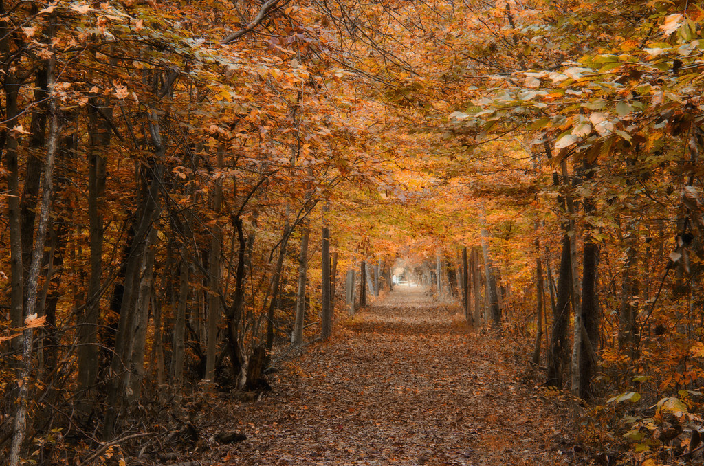
DRHT - Fall color

That nature pic of the day...

Sunset Forest Scene

setting sun blazing against silver buildings...

Harvesting Soy Beans

Green Field
Topographic Map of Brassica Ln, King George, VA, USA
Find elevation by address:

Places near Brassica Ln, King George, VA, USA:
5224 Spinnaker Ln
Ryan Homes At Hopyard Farm
Mccarthy Drive
Kings Hwy, King George, VA, USA
Igo Road
10144 Hooker Heights
10144 Hooker Heights
10144 Hooker Heights
Ware Creek Rd, Rappahannock Academy, VA, USA
James Madison
Powhatan Rd, Shiloh, VA, USA
Fletchers Chapel Rd, King George, VA, USA
1190 Kings Hwy
9308 Hayden Dr
King George
Kings Hwy, King George, VA, USA
15318 James Madison Pkwy
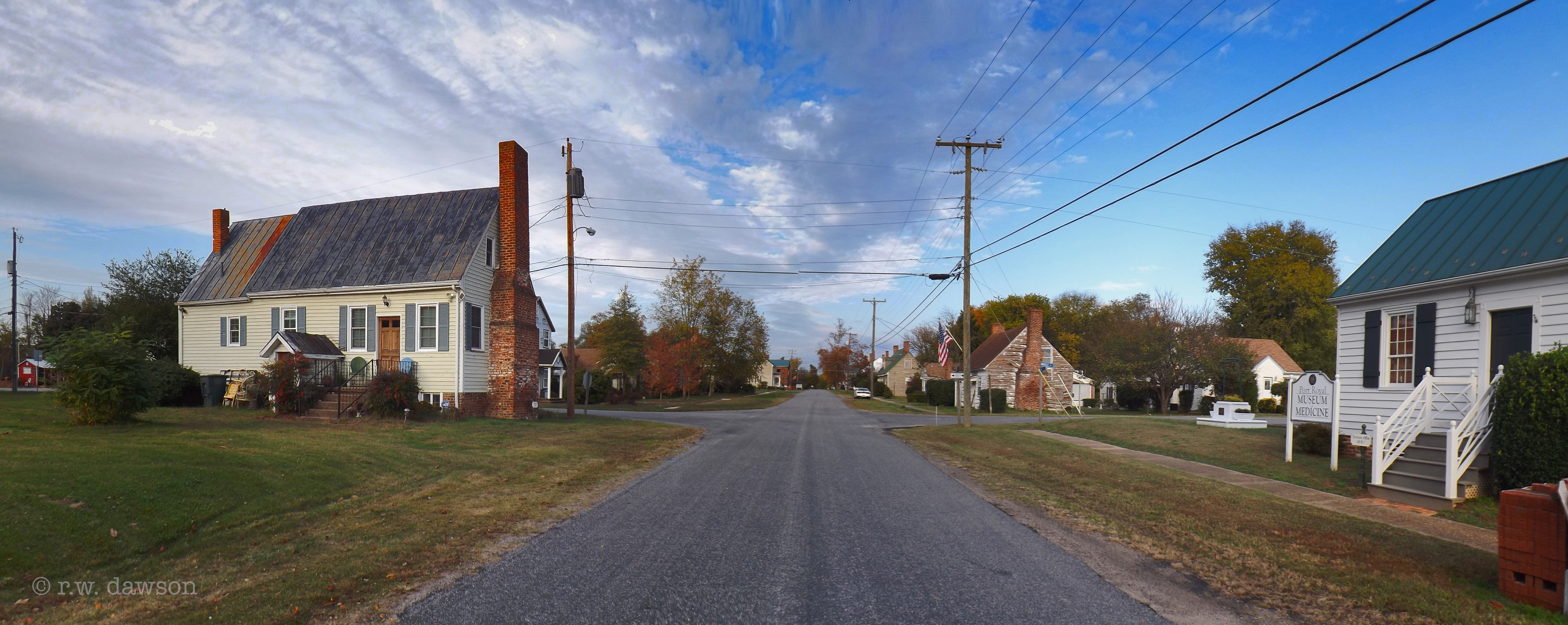
Port Royal
King George County
926 Caroline St
Recent Searches:
- Elevation of Corso Fratelli Cairoli, 35, Macerata MC, Italy
- Elevation of Tallevast Rd, Sarasota, FL, USA
- Elevation of 4th St E, Sonoma, CA, USA
- Elevation of Black Hollow Rd, Pennsdale, PA, USA
- Elevation of Oakland Ave, Williamsport, PA, USA
- Elevation of Pedrógão Grande, Portugal
- Elevation of Klee Dr, Martinsburg, WV, USA
- Elevation of Via Roma, Pieranica CR, Italy
- Elevation of Tavkvetili Mountain, Georgia
- Elevation of Hartfords Bluff Cir, Mt Pleasant, SC, USA