Elevation of Port Royal, VA, USA
Location: United States > Virginia > Caroline County > Port Royal >
Longitude: -77.191088
Latitude: 38.1717974
Elevation: 10m / 33feet
Barometric Pressure: 101KPa
Elevation Map:
Satellite Map:
Related Photos:

Belle Grove Corvette
Absolutely #beautiful 21.55 mile run this...
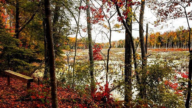
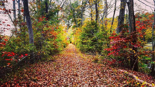
autumnal view

Too hot/humid for berry-picking, but happy to sit a while in the shade with a strawberry sundae and enjoy the view. Picked up some fresh blackberries for the road.
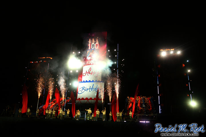
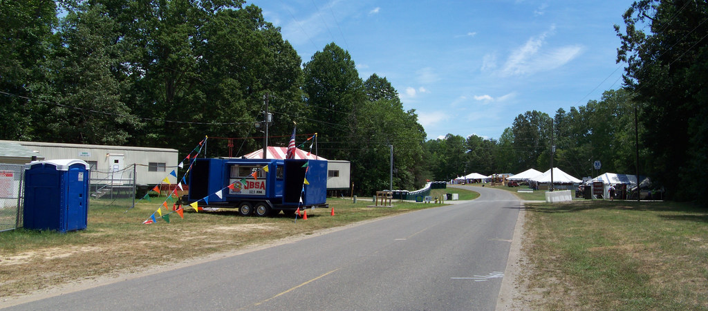
Big Birthday for the Boy Scouts of America
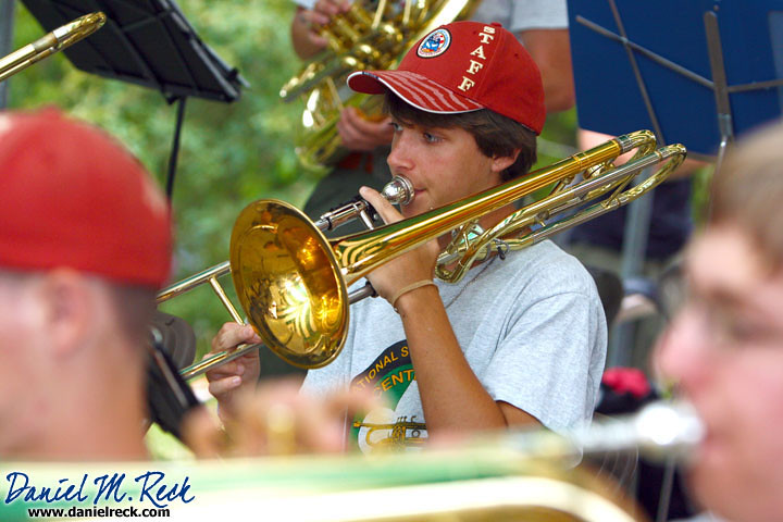
National Scout Jamboree Youth Band Perform for Scouting Centennial

Illuminating the Spirit of Scouting
Bringing the Southwest to Virginia

George I's View 291 Years Later
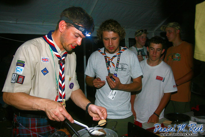
Yum! Scottish Scouts Serve Up Haggis
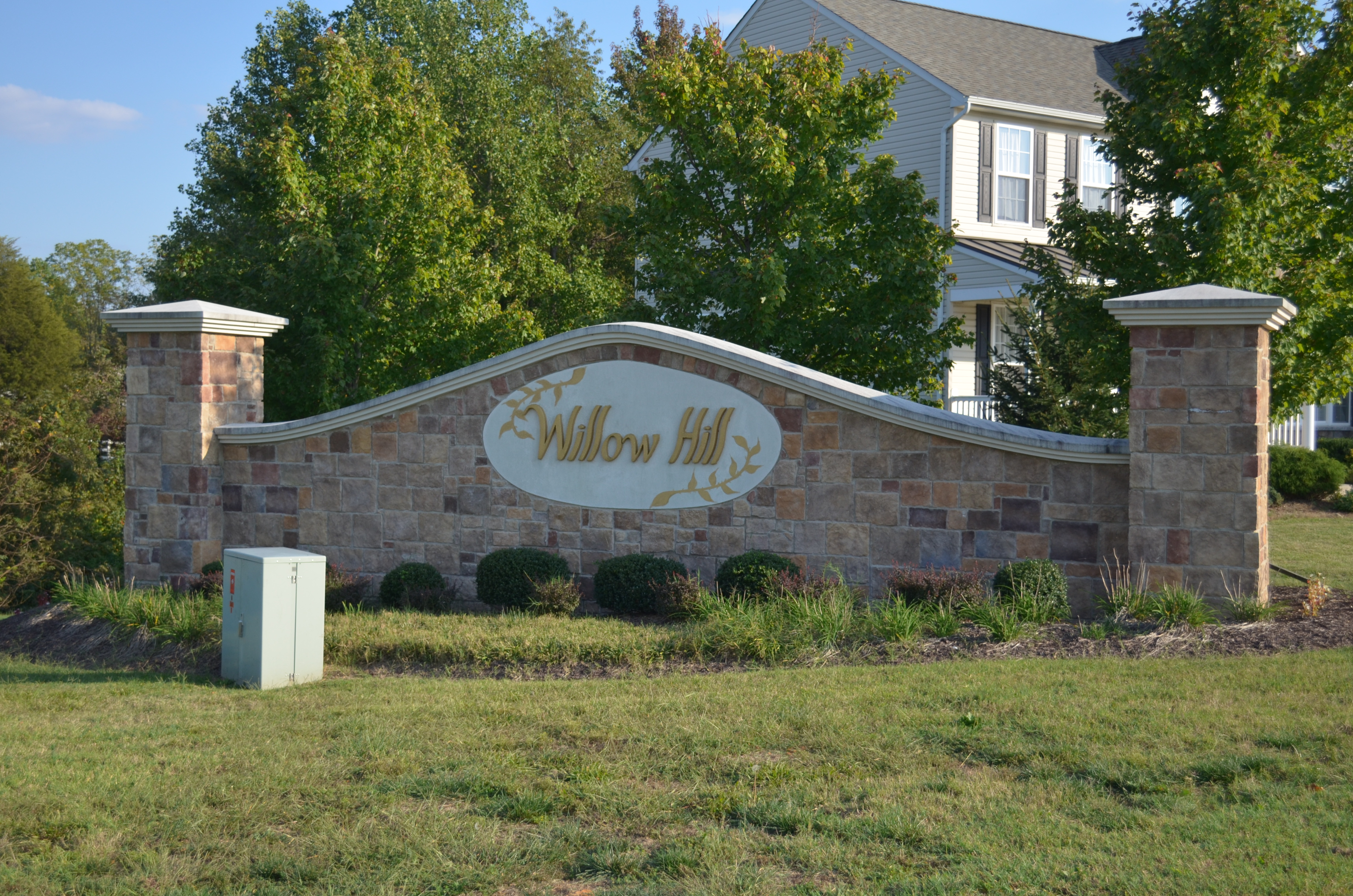
Willow Hill, King George, Virginia
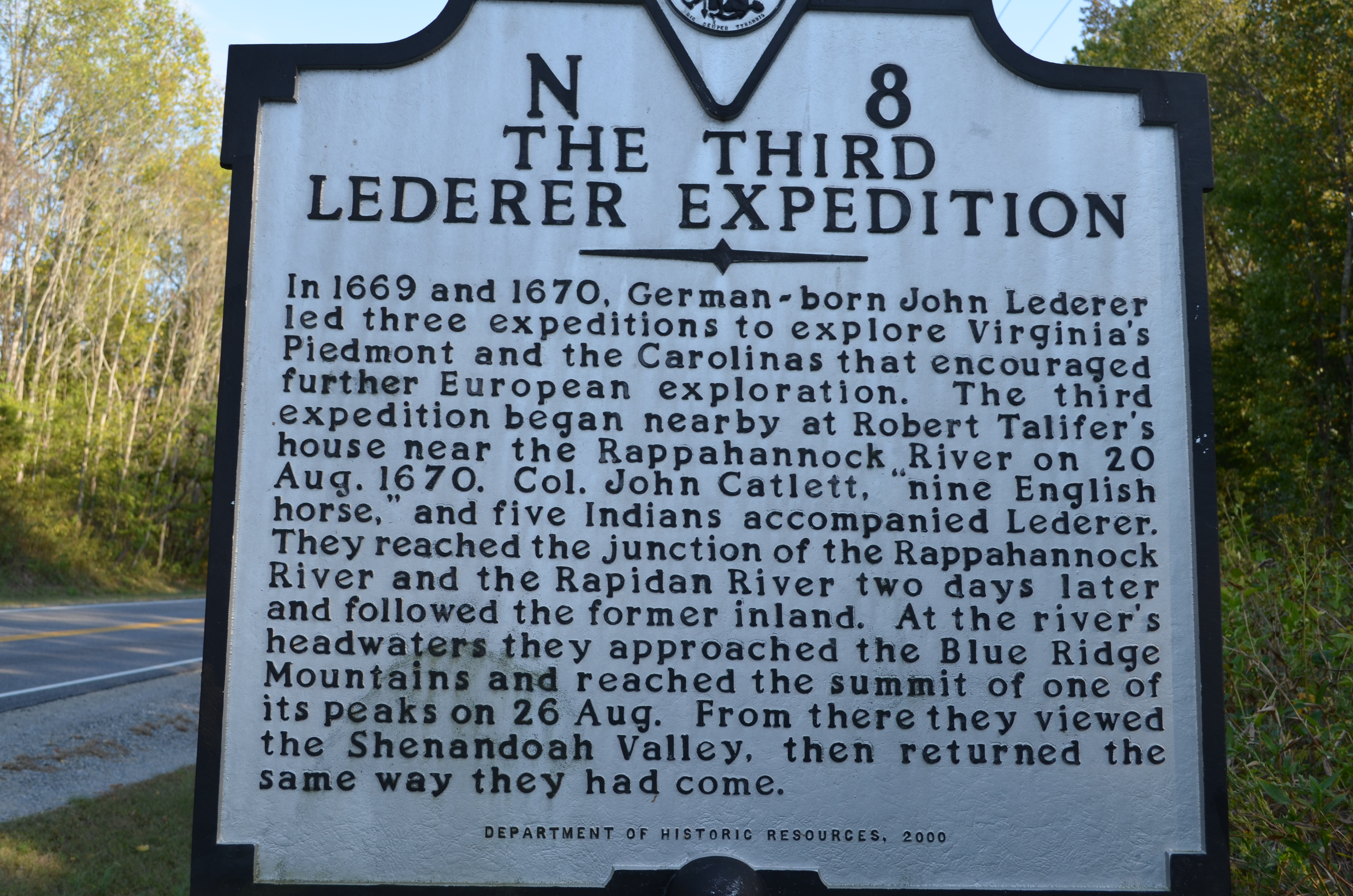
The Third Lederer Expedition Historical Highway Marker; Caroline County

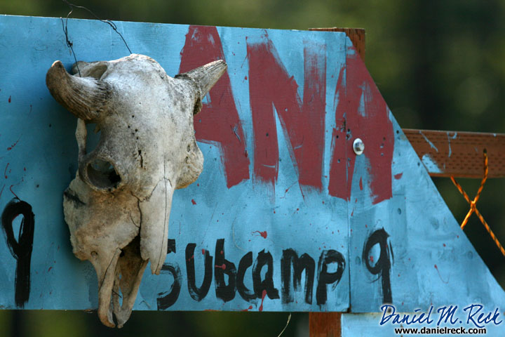
Subcamp 1

Setting the Stage for the Next 100 Years of Scouting
Radio Station a

setting sun blazing against silver buildings...
Rappahannock River at Hicks' landing, Caroline County, VA
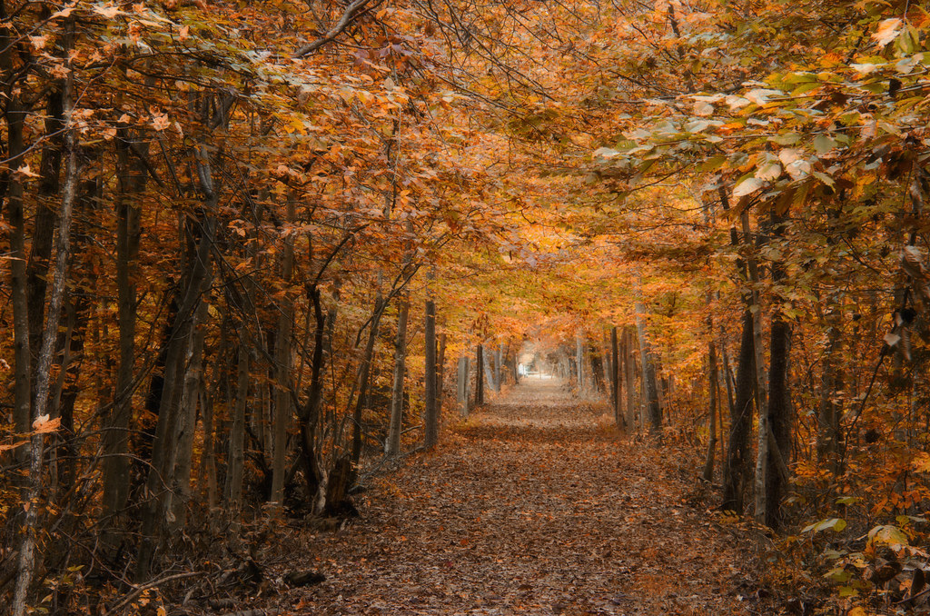
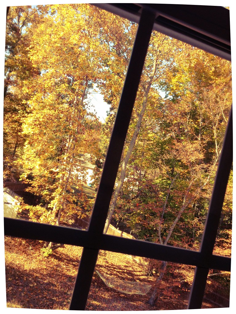
DRHT - Fall color
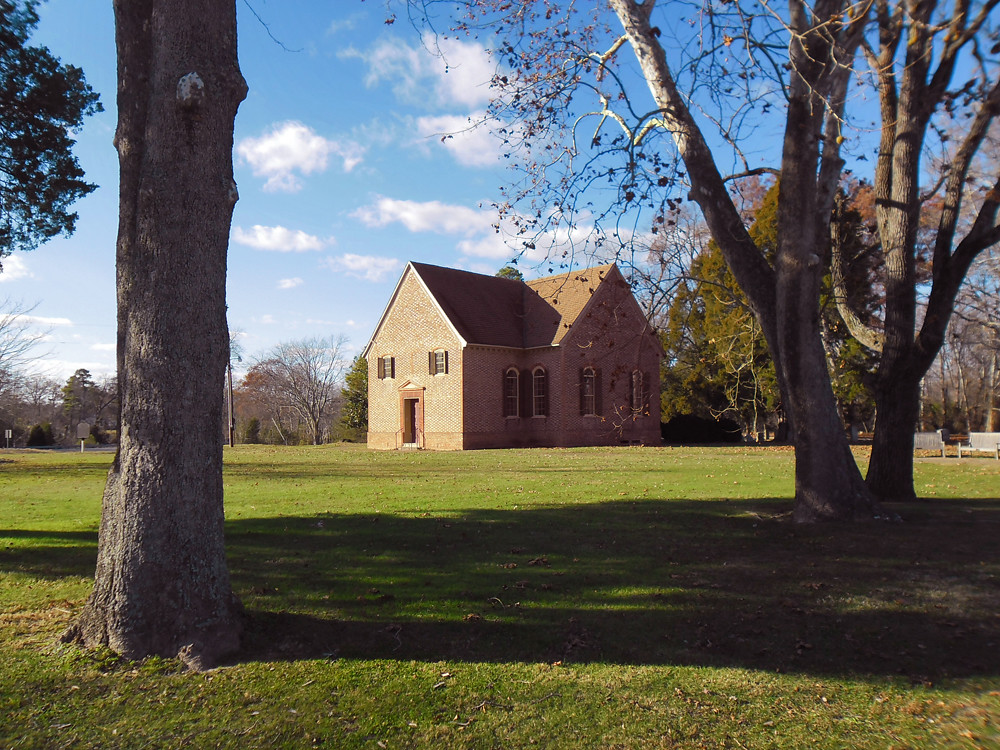
Vauter's Episcopal Church
Rappahannock River at Hicks' landing, Caroline County, VA
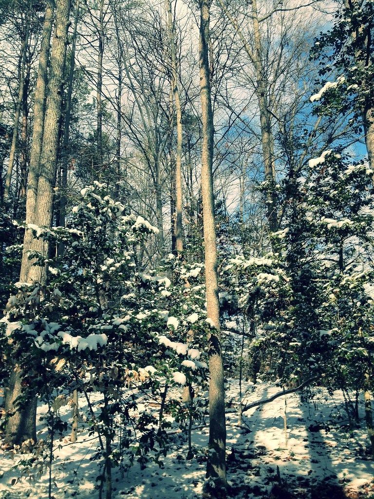
snowy trees
Absolutely #beautiful 21.55 mile run this...
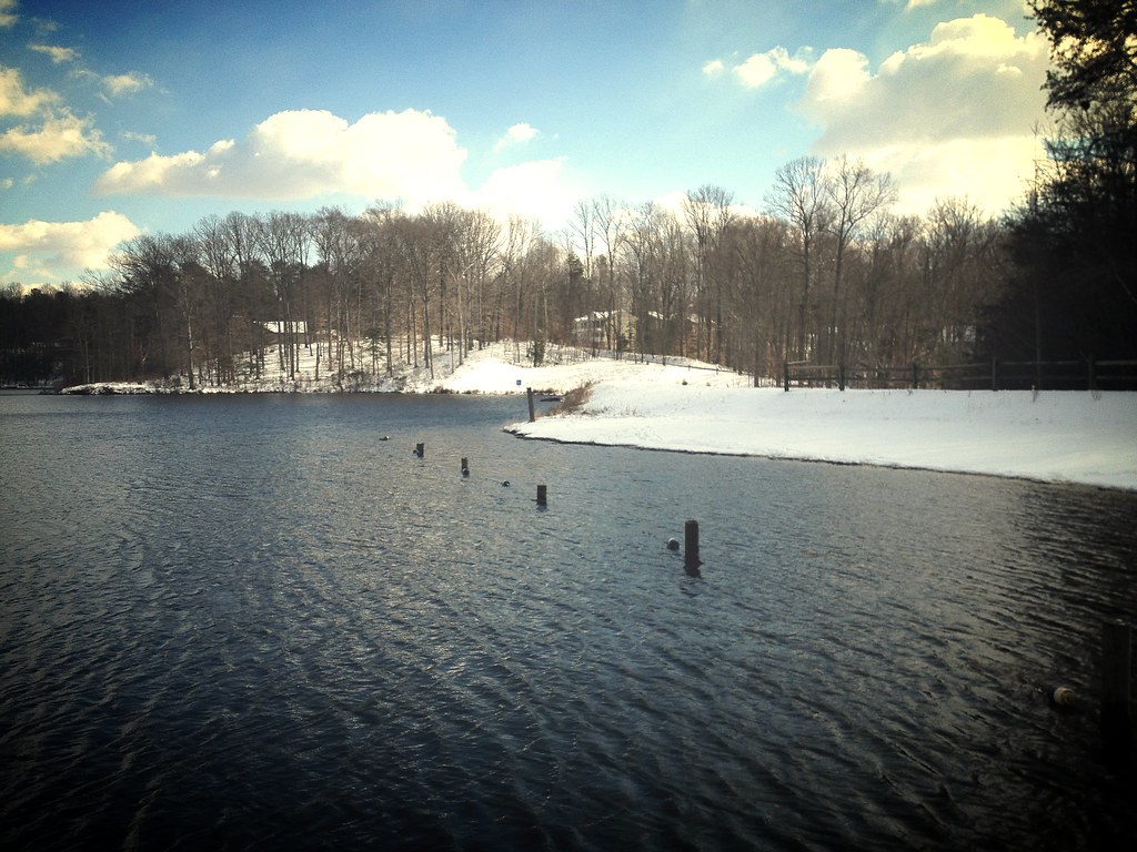
lake and snow
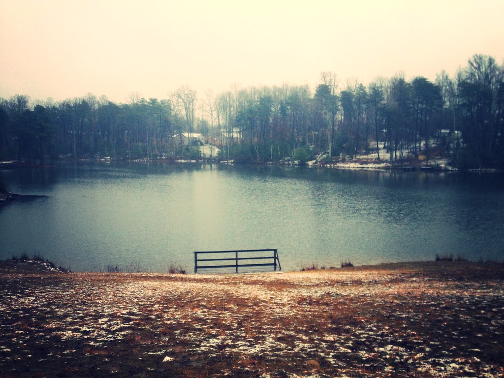
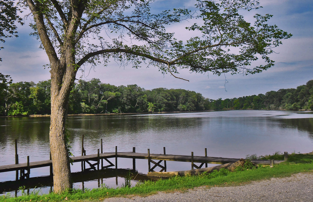
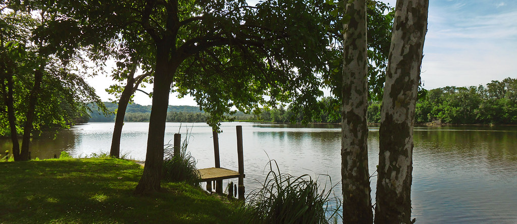
Lake Madison
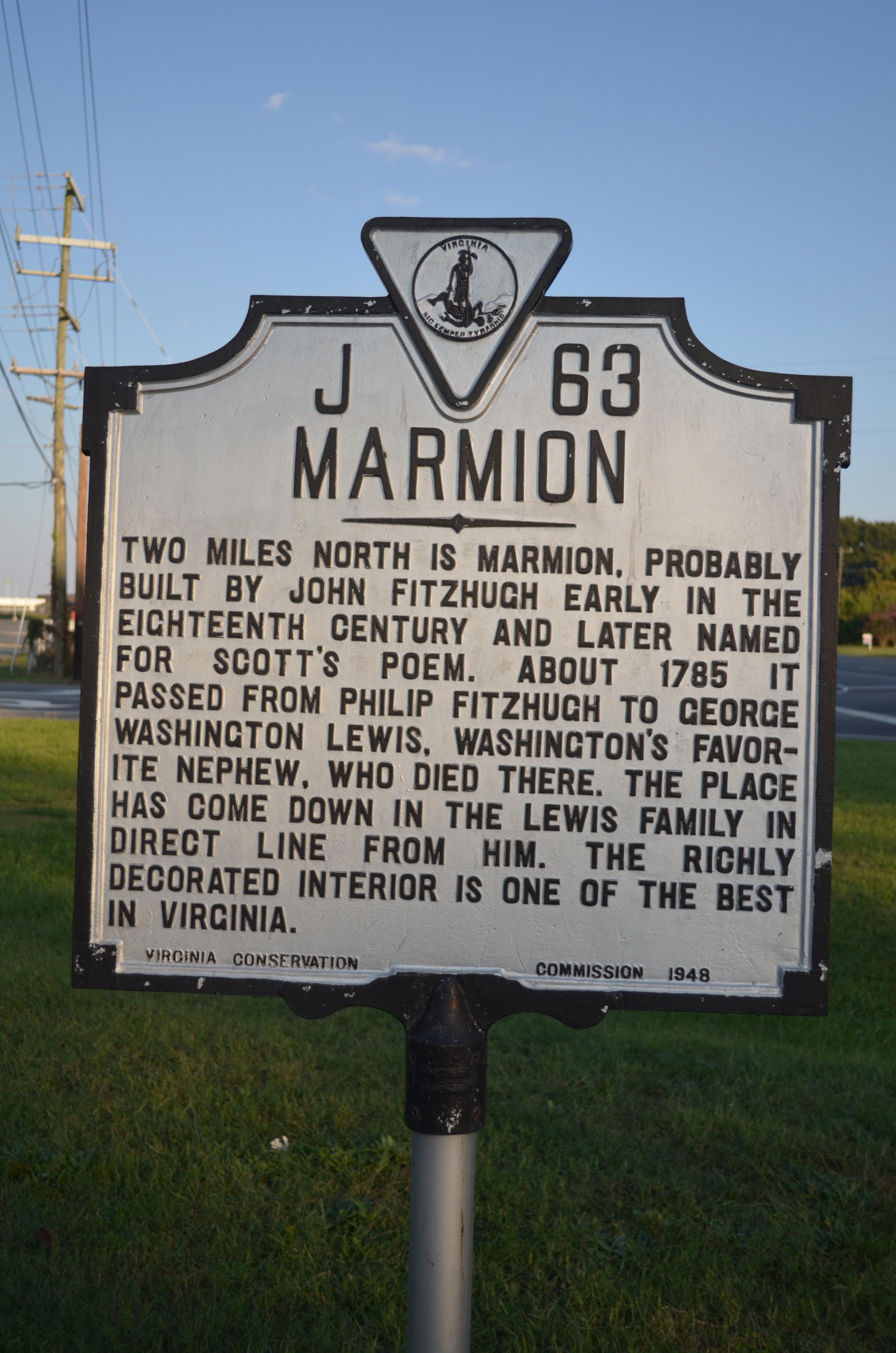
MARMION Highway Marker, King George County, Virginia
Virginia Route 3, King George County, Virginia

southern states
Virginia Route 3, King George County, Virginia

Drifting In The River
Garrett Farm

Dahlgren Rail Trail
Wilmot House (1)
Road Trip - Maryland
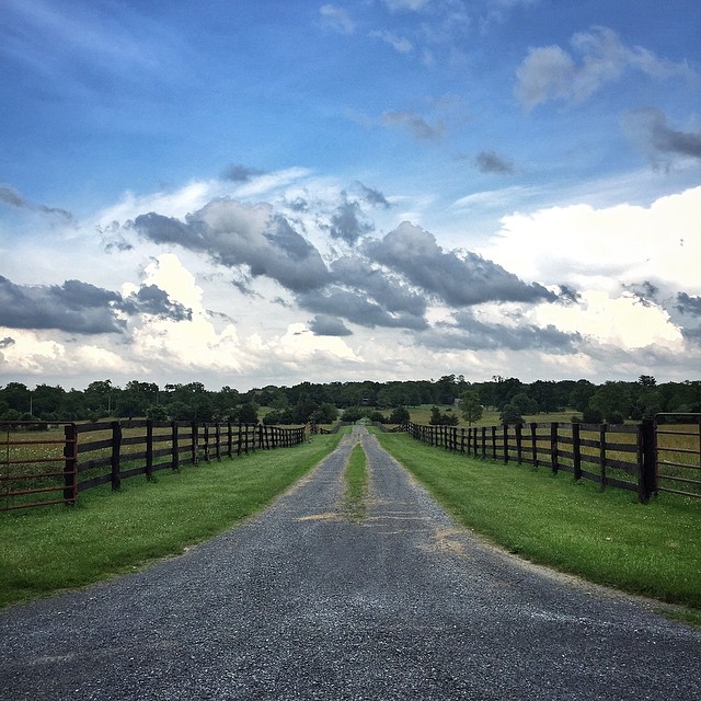
Good morning. #road #clouds #billowing #gravel #latergram #driveway #country #farmland #peaceful #tranquility #instagood #justgoshoot #yesterday #skyline #valley #shenandoah #outdoors #adventure #virginia #backroad #fence #skyporn #vanishingpoint
Topographic Map of Port Royal, VA, USA
Find elevation by address:

Places near Port Royal, VA, USA:
926 Caroline St
26073 Tidewater Trail
15318 James Madison Pkwy
Oaken Brow Ln, King George, VA, USA
16137 State Rte 698
Shiloh
King George County
Powhatan Rd, Shiloh, VA, USA
Kings Hwy, King George, VA, USA
Kings Hwy, King George, VA, USA
Mccarthy Drive
King George
9308 Hayden Dr
Ryan Homes At Hopyard Farm
5224 Spinnaker Ln
11232 Brassica Ln
Ware Creek Rd, Rappahannock Academy, VA, USA
Kings Hwy, King George, VA, USA
State Rte, King George, VA, USA
Igo Road
Recent Searches:
- Elevation of Corso Fratelli Cairoli, 35, Macerata MC, Italy
- Elevation of Tallevast Rd, Sarasota, FL, USA
- Elevation of 4th St E, Sonoma, CA, USA
- Elevation of Black Hollow Rd, Pennsdale, PA, USA
- Elevation of Oakland Ave, Williamsport, PA, USA
- Elevation of Pedrógão Grande, Portugal
- Elevation of Klee Dr, Martinsburg, WV, USA
- Elevation of Via Roma, Pieranica CR, Italy
- Elevation of Tavkvetili Mountain, Georgia
- Elevation of Hartfords Bluff Cir, Mt Pleasant, SC, USA