Elevation of Lakeside Dr, Harrow, ON N0R 1G0, Canada
Location: Canada > Ontario > Essex County > Essex > Harrow >
Longitude: -83.025324
Latitude: 42.0268785
Elevation: -10000m / -32808feet
Barometric Pressure: 295KPa
Elevation Map:
Satellite Map:
Related Photos:

Seawall, path, ferry, and small boat.
_DSC2521.jpg

Great Egret Reflection

Canadian Flyby

_DSC2617-Pano.jpg

Out Here In The Field

_DSC2611.jpg

Bois Blanc Island

Bronze Copper - female dorsal view

Reflections on the river

Mute Swans in Flight

Pointe Mouille Sunset
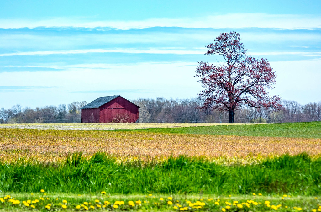
Amherstburg, Ontario

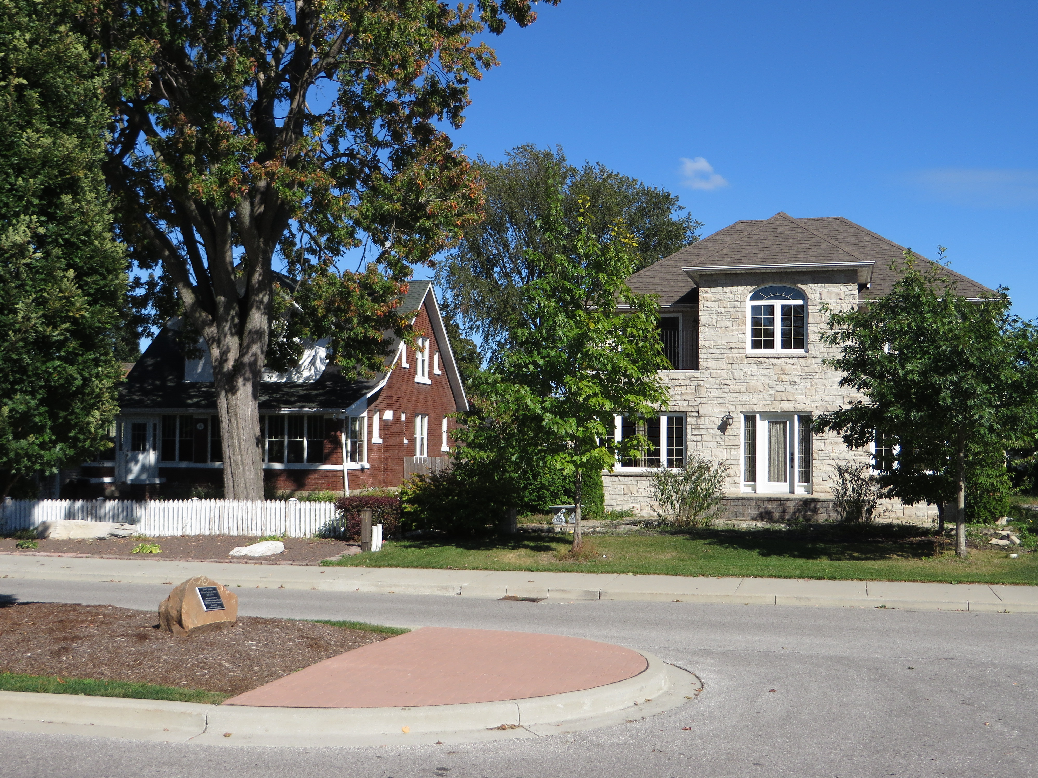
Amherstburg, Ontario
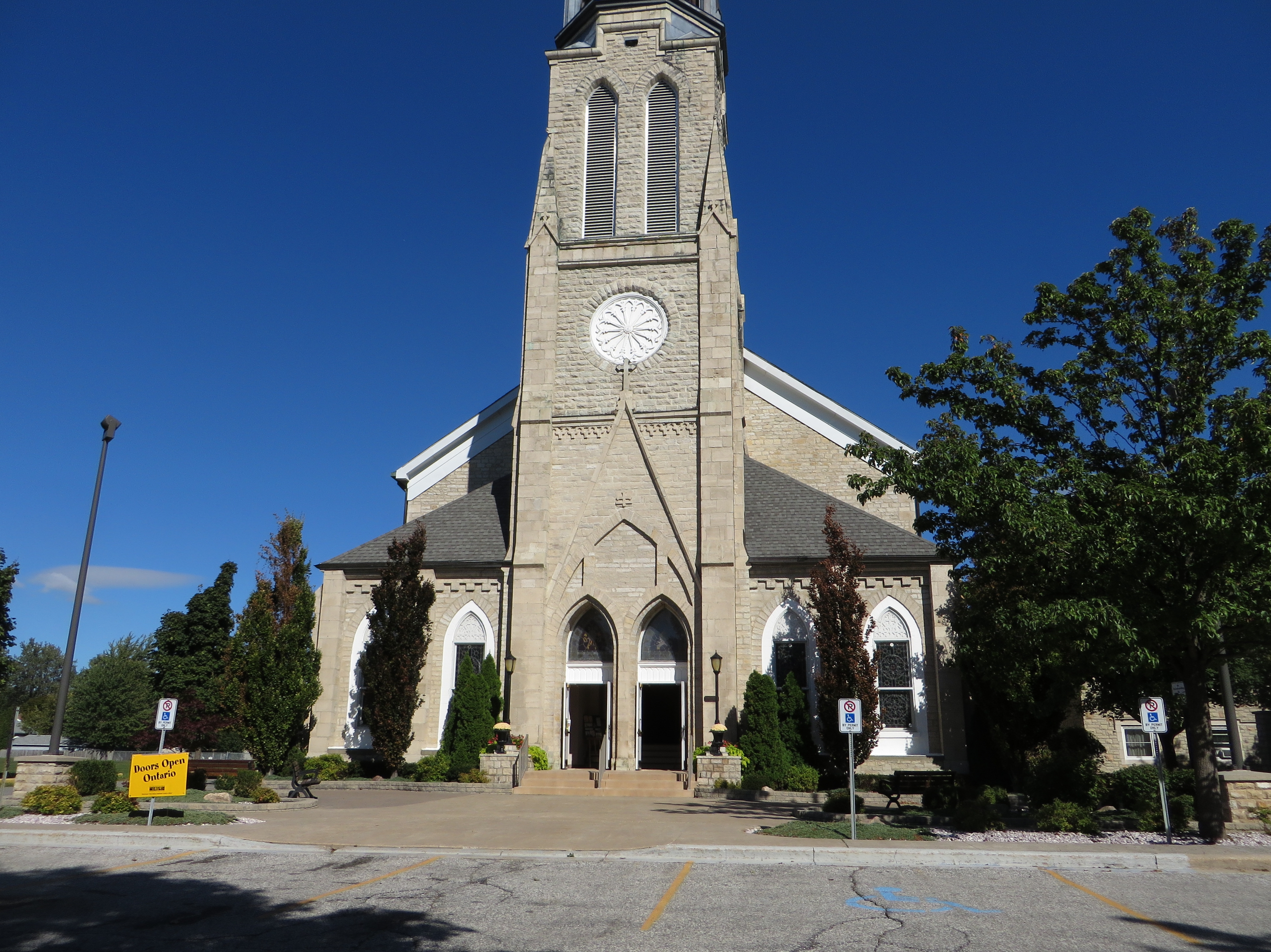
Amherstburg, Ontario

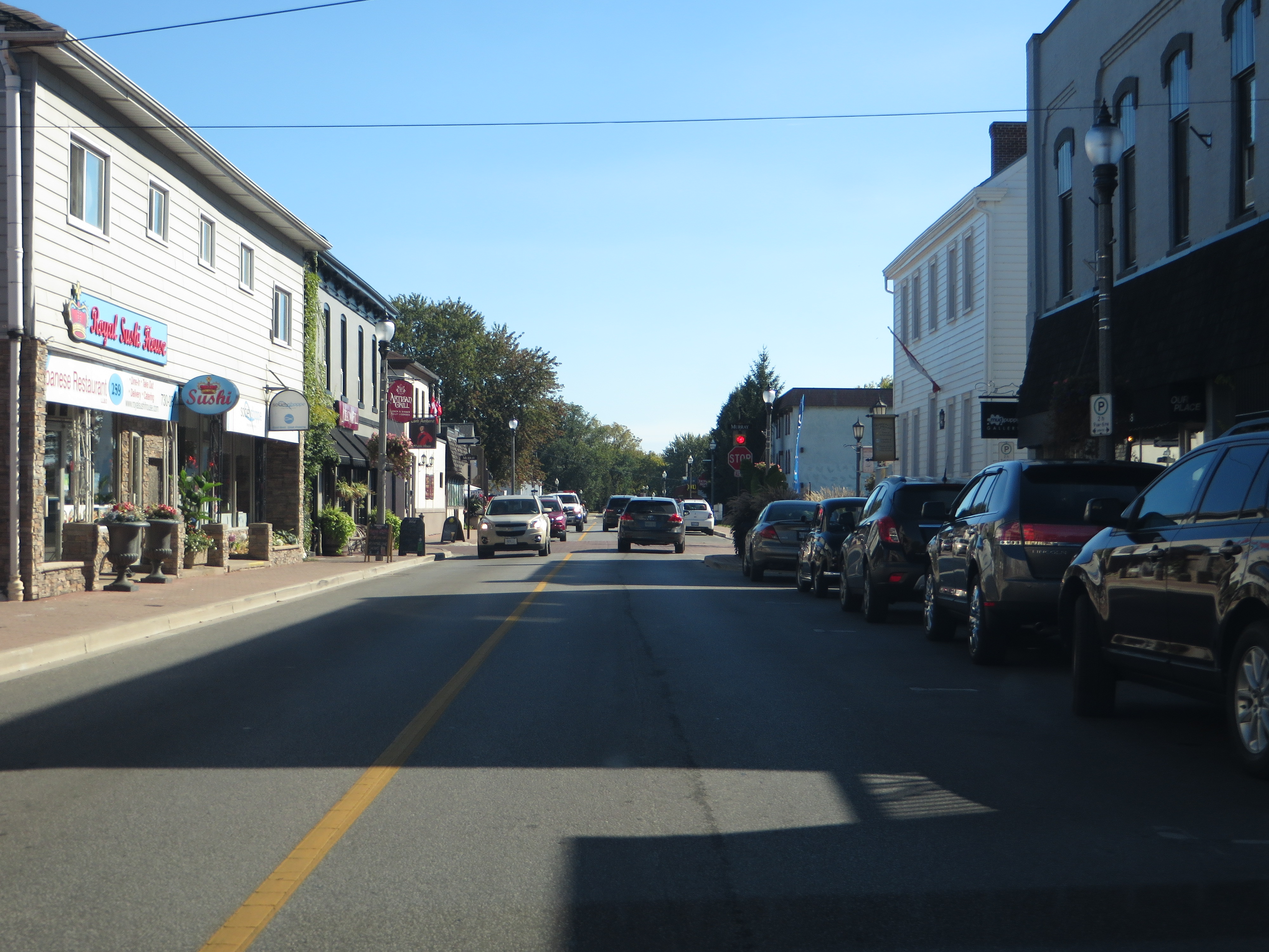
Detroit River, Amherstburg, Ontario

Amherstburg, Ontario

Amherstburg, Ontario

Amherstburg, Ontario
Amherstburg, Ontario
Amherstburg, Ontario

The Beach - In the Winter !

Reflections !

3 Swans a Swim'en

Sunset - Ice on Lake Erie

Reeds and Marsh

Winter Sky

end of the weekend

Detroit River #backhome #soewinefest

Mostly Cloudy

Lake Erie Shoreline

21st Bois Blanc Bob-Lo Light - Road Trip nbk

Wind over Lake Erie, Ontario

A Winter's Day

Mouillee Me

Hidden Lake

20080224-111306

Fort Malden National Historic Site

Flowers 7

the other path
Topographic Map of Lakeside Dr, Harrow, ON N0R 1G0, Canada
Find elevation by address:

Places near Lakeside Dr, Harrow, ON N0R 1G0, Canada:
Lakeside Drive
160 Lakeside Dr
Erie Shores Dr, Harrow, ON N0R 1G0, Canada
Pike Rd, Amherstburg, ON N9V 2Y7, Canada
1692 Park Ave
383 Summer Ridge Ct
164 Meloche Rd
16 Mediterranean Ave
16 Mediterranean Ave
106 Lowes Side Rd
Amherstburg
Royal Canadian Legion Branch 157
210 Dalhousie St
Edgewater Beach
Grosse Ile Township
Detroit River
22500 E River Rd
Erie Dr, Brownstown Charter Twp, MI, USA
Island Dr, Rockwood, MI, USA
7600 Horse Mill Rd
Recent Searches:
- Elevation of Corso Fratelli Cairoli, 35, Macerata MC, Italy
- Elevation of Tallevast Rd, Sarasota, FL, USA
- Elevation of 4th St E, Sonoma, CA, USA
- Elevation of Black Hollow Rd, Pennsdale, PA, USA
- Elevation of Oakland Ave, Williamsport, PA, USA
- Elevation of Pedrógão Grande, Portugal
- Elevation of Klee Dr, Martinsburg, WV, USA
- Elevation of Via Roma, Pieranica CR, Italy
- Elevation of Tavkvetili Mountain, Georgia
- Elevation of Hartfords Bluff Cir, Mt Pleasant, SC, USA