Elevation of Erie Shores Dr, Harrow, ON N0R 1G0, Canada
Location: Canada > Ontario > Essex County > Essex > Harrow >
Longitude: -82.995580
Latitude: 42.0160515
Elevation: 176m / 577feet
Barometric Pressure: 99KPa
Elevation Map:
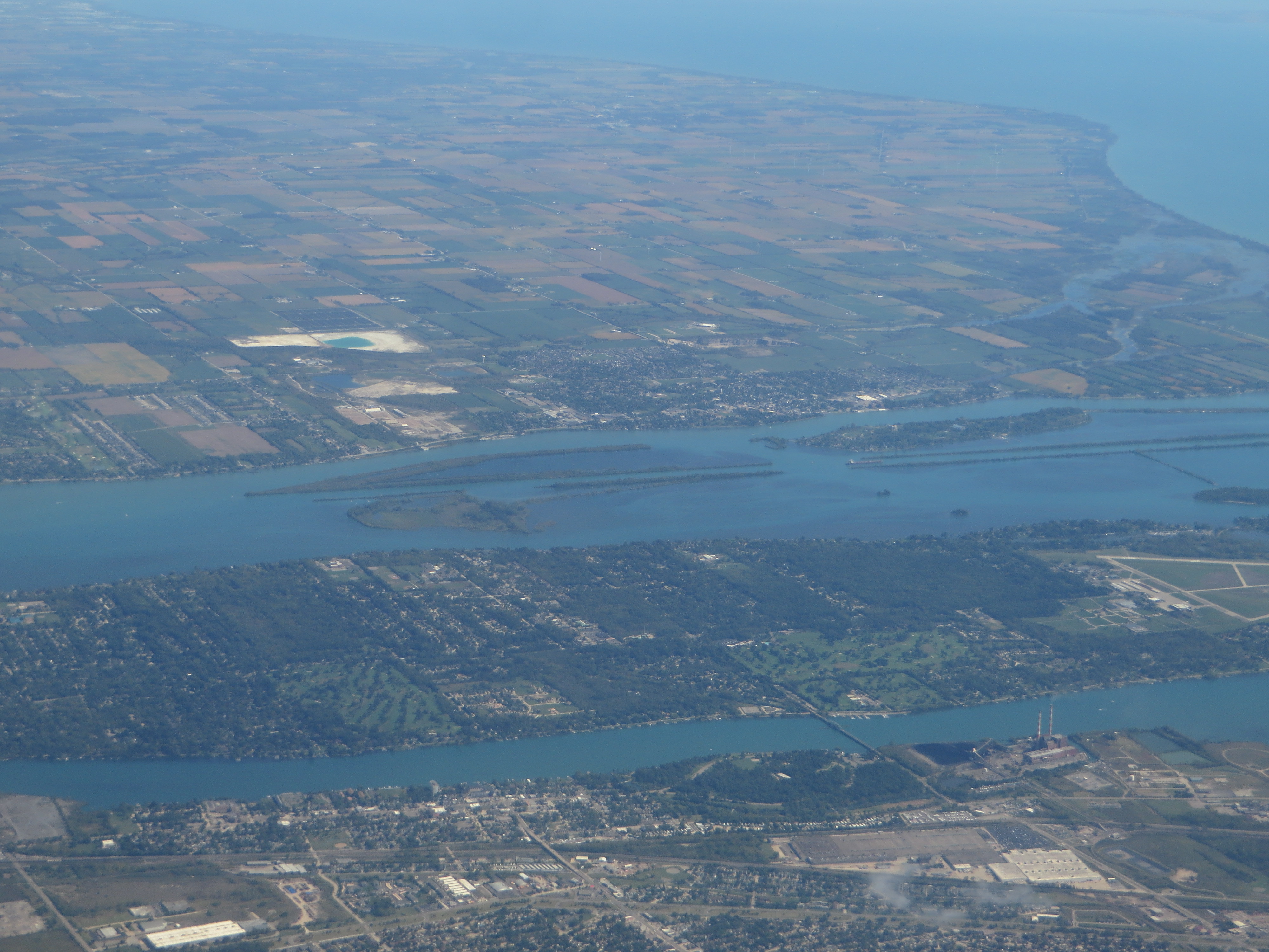
Satellite Map:
Related Photos:

Bois Blanc Island
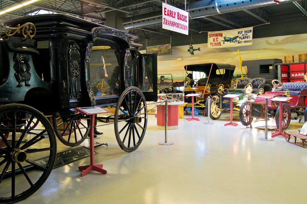
Canadian Museum of Transportation

Bois Blanc Island

Amherstburg Navy Yard
Amherstburg, Ontario

Amherstburg, Ontario
Across the river
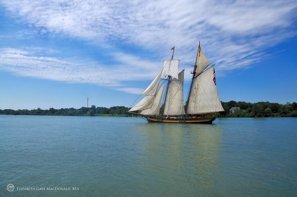
Amherstburg, TallshipsDSC_5614

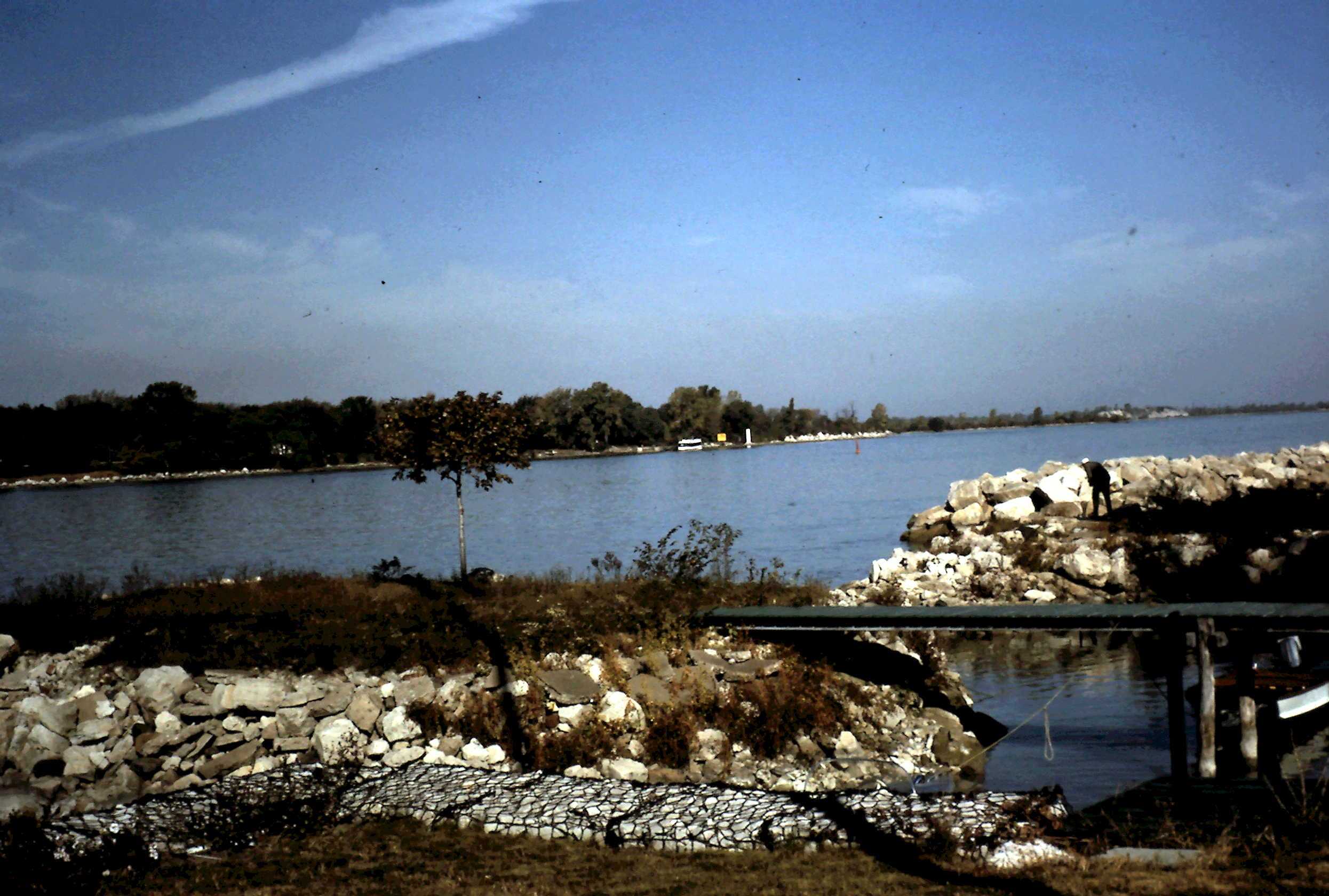
View up river

Jenna III

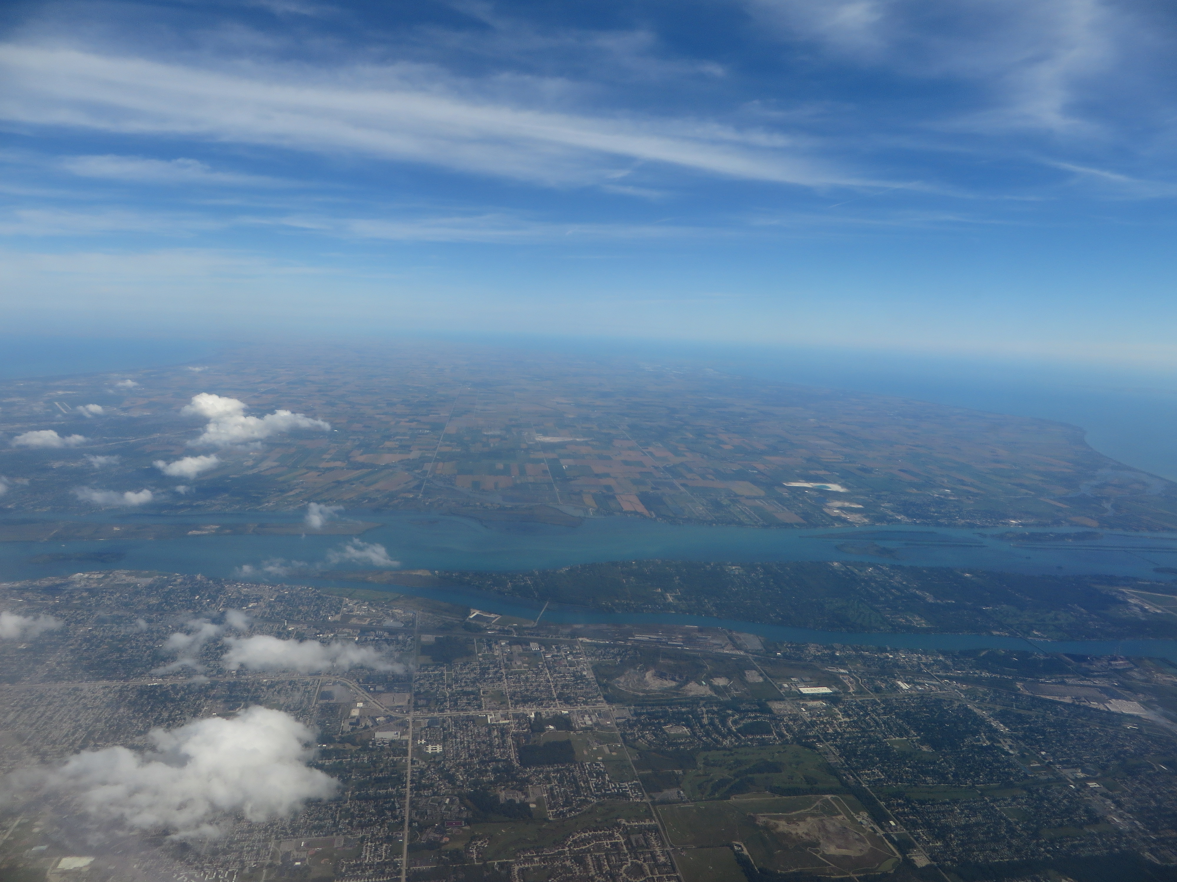
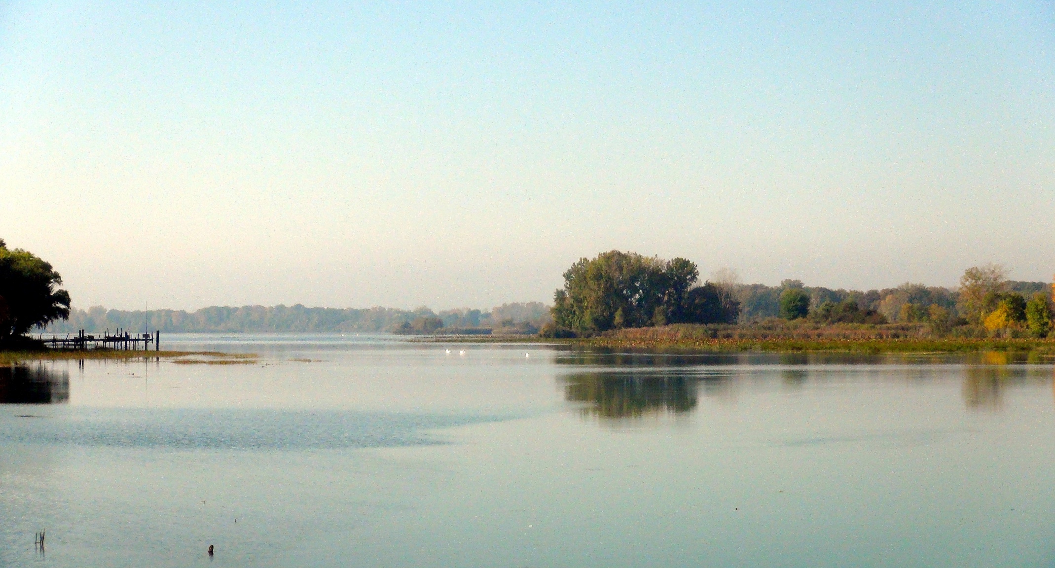
Detroit River
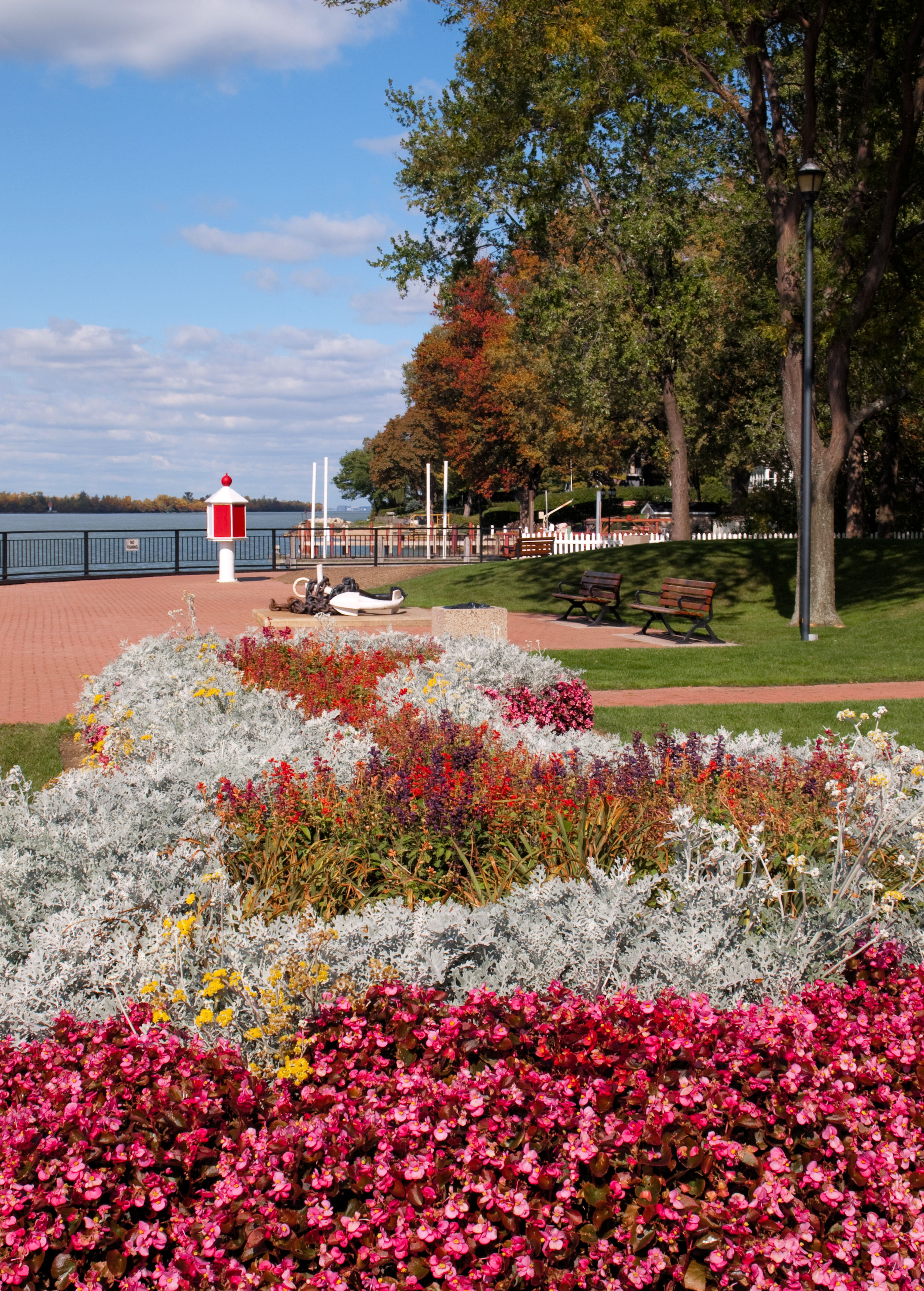
Garden View
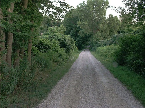
Country Lane

Ice Cream Shop
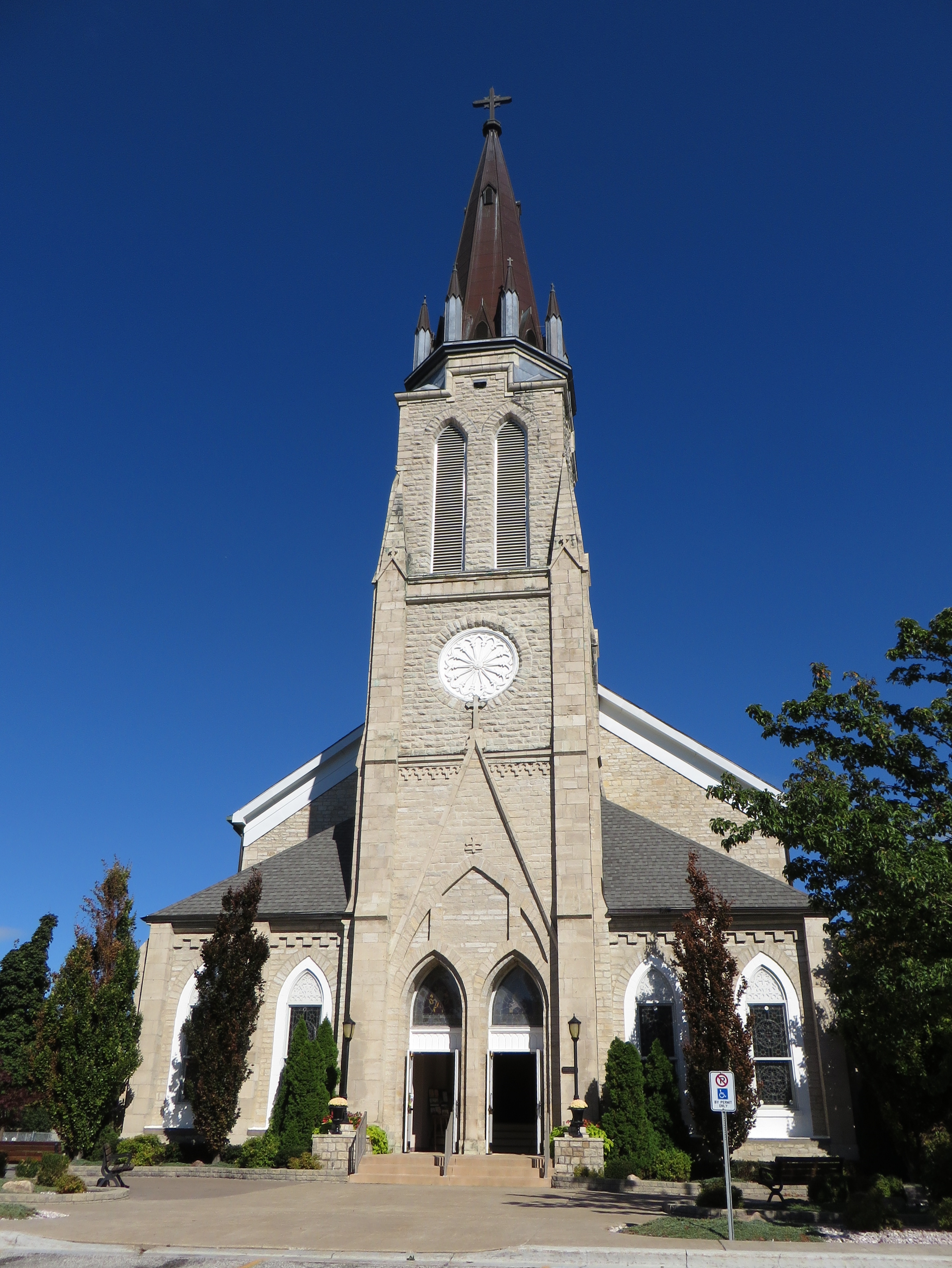
Amherstburg, Ontario
Amherstburg, Ontario
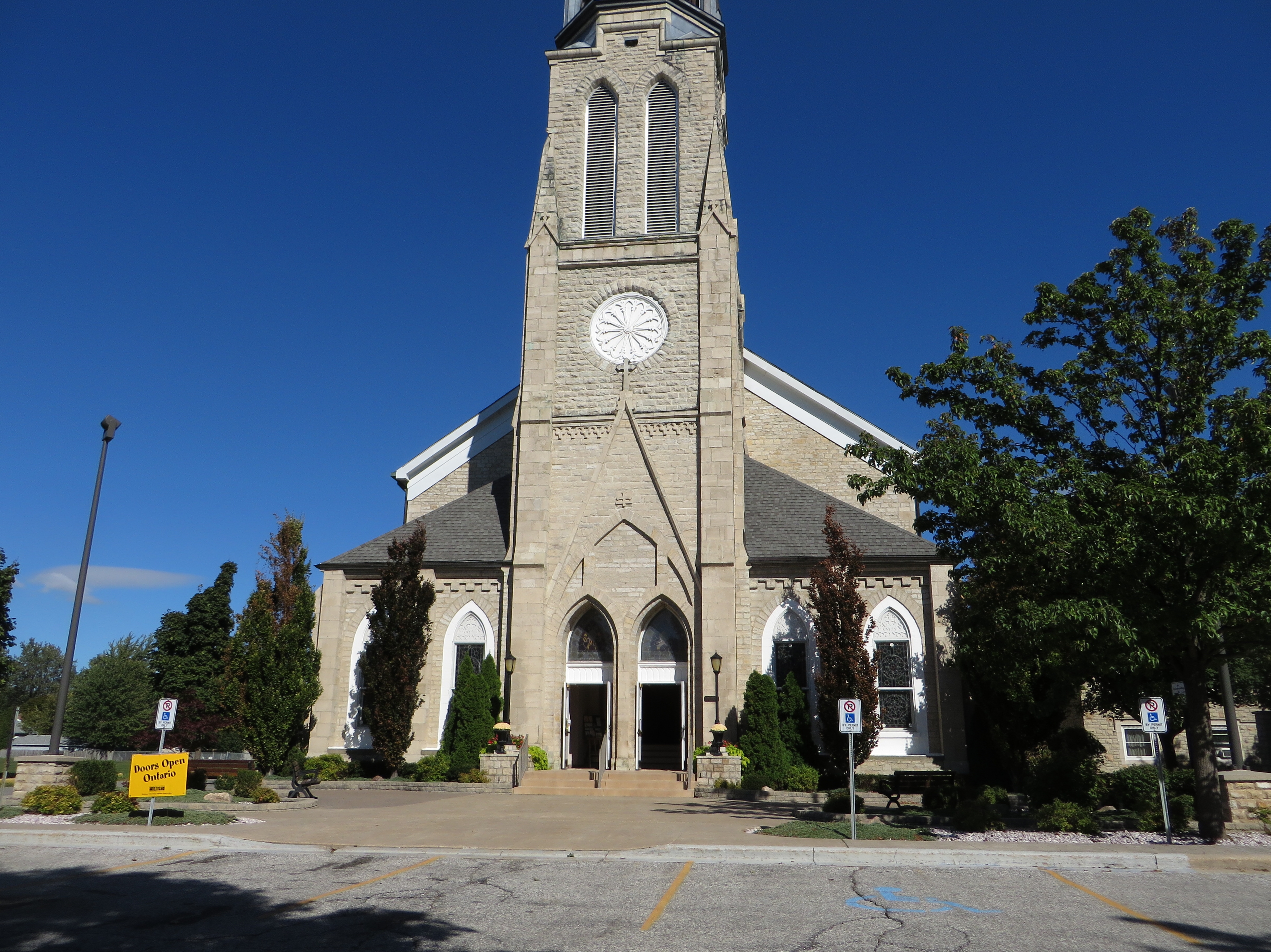
Amherstburg, Ontario
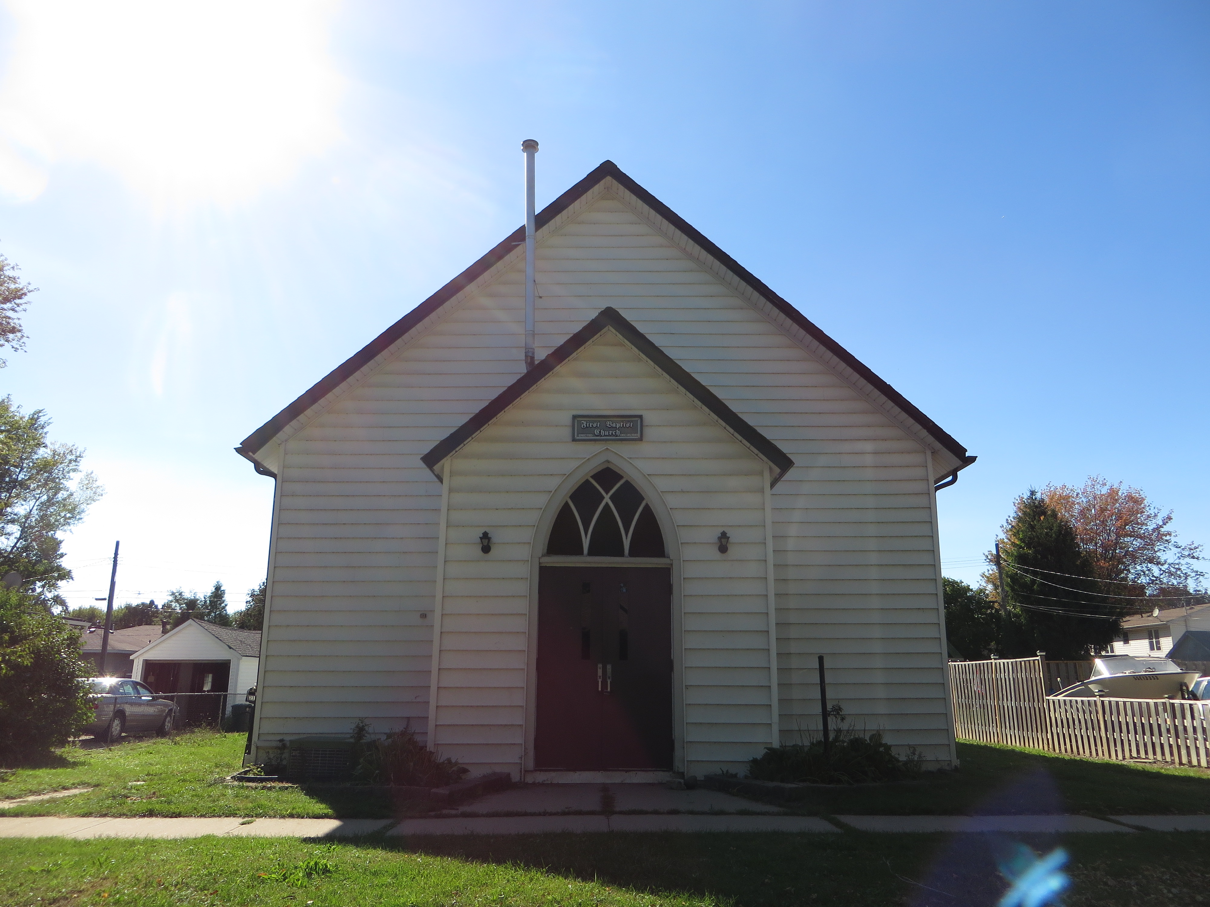
Amherstburg First Baptist Church, Amherstburg, Ontario
Amherstburg, Ontario
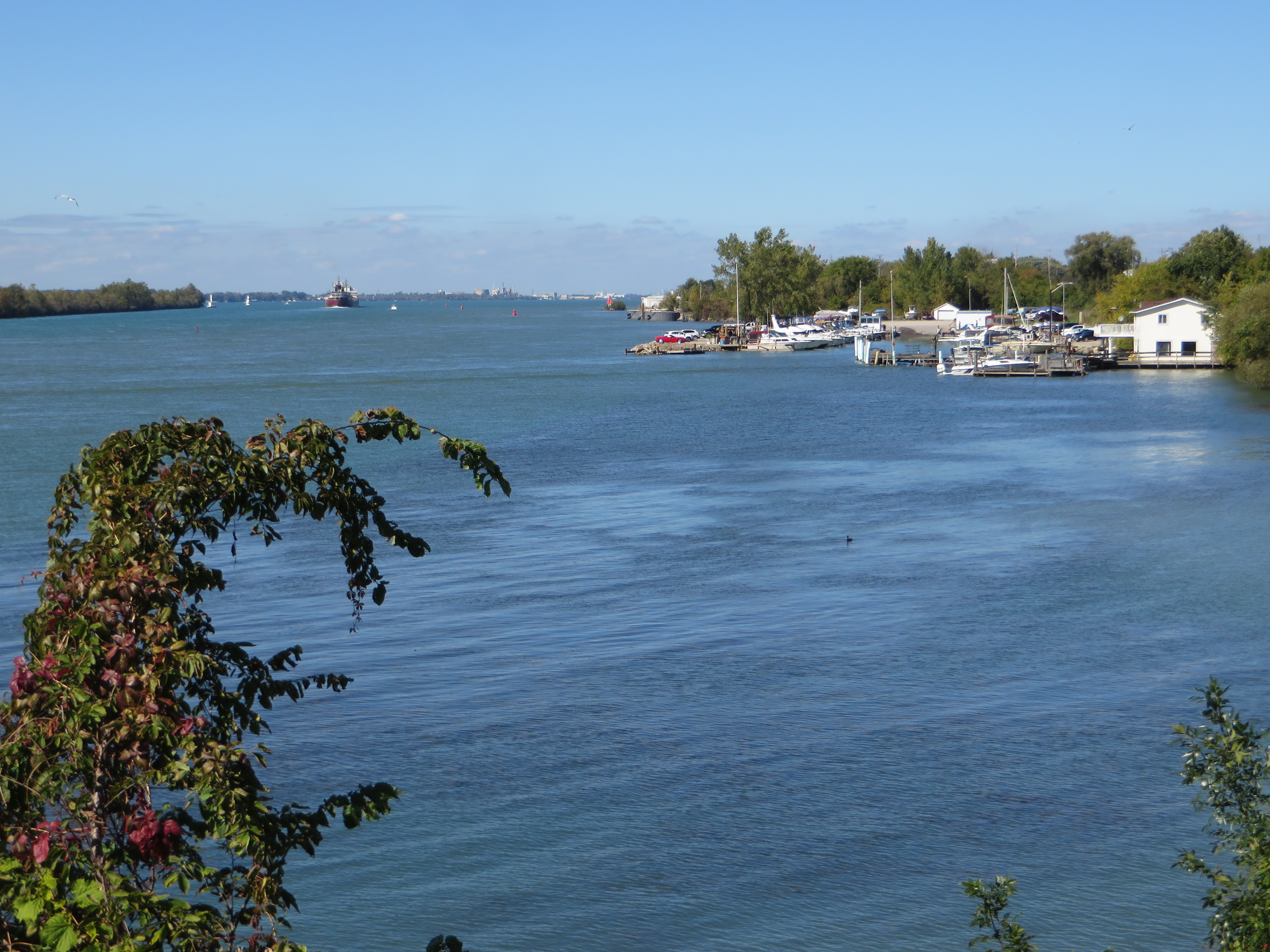
Detroit River, Amherstburg, Ontario
Amherstburg, Ontario

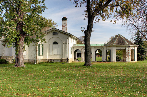
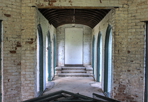
Fort Malden National Historic Site
Beach waves
Colchester Sunset

Colchester Harbour
P9014404-flkr

Hidden Lake
Bellevue House
Bellevue House
Grosse Ile Michigan: Gibraltar Bay
end of the weekend

Big Creek, Amherstburg Ontario

Mostly Cloudy
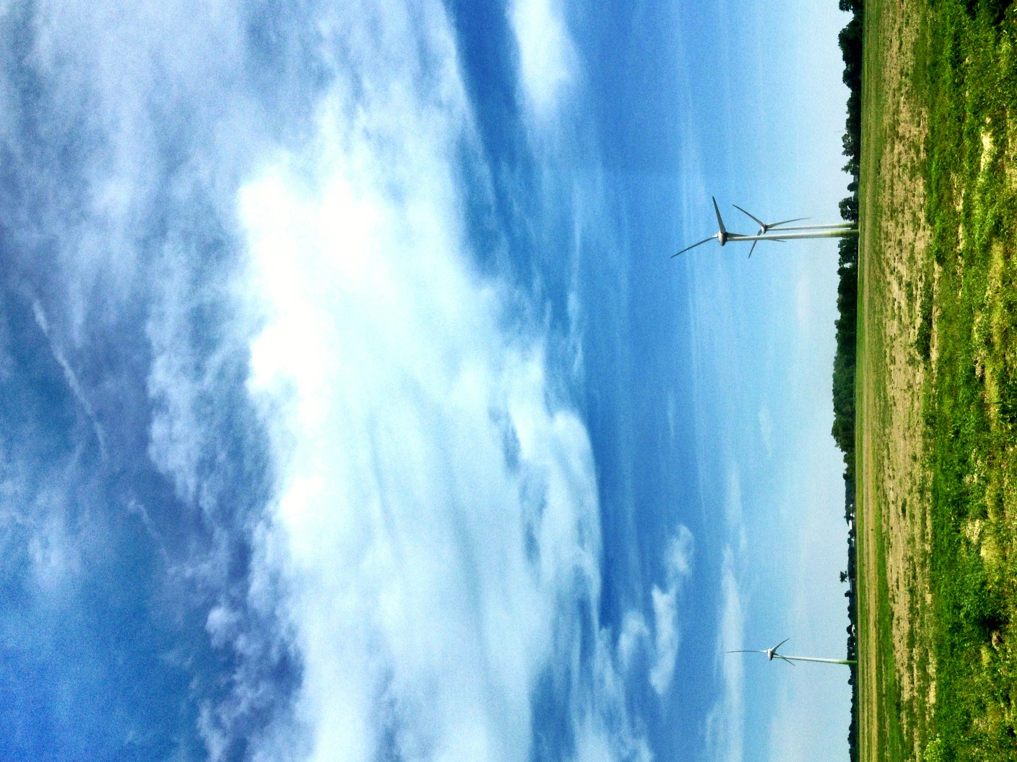
Wind Turbines

Detroit River #backhome #soewinefest

Tasting wine on Lac Erie
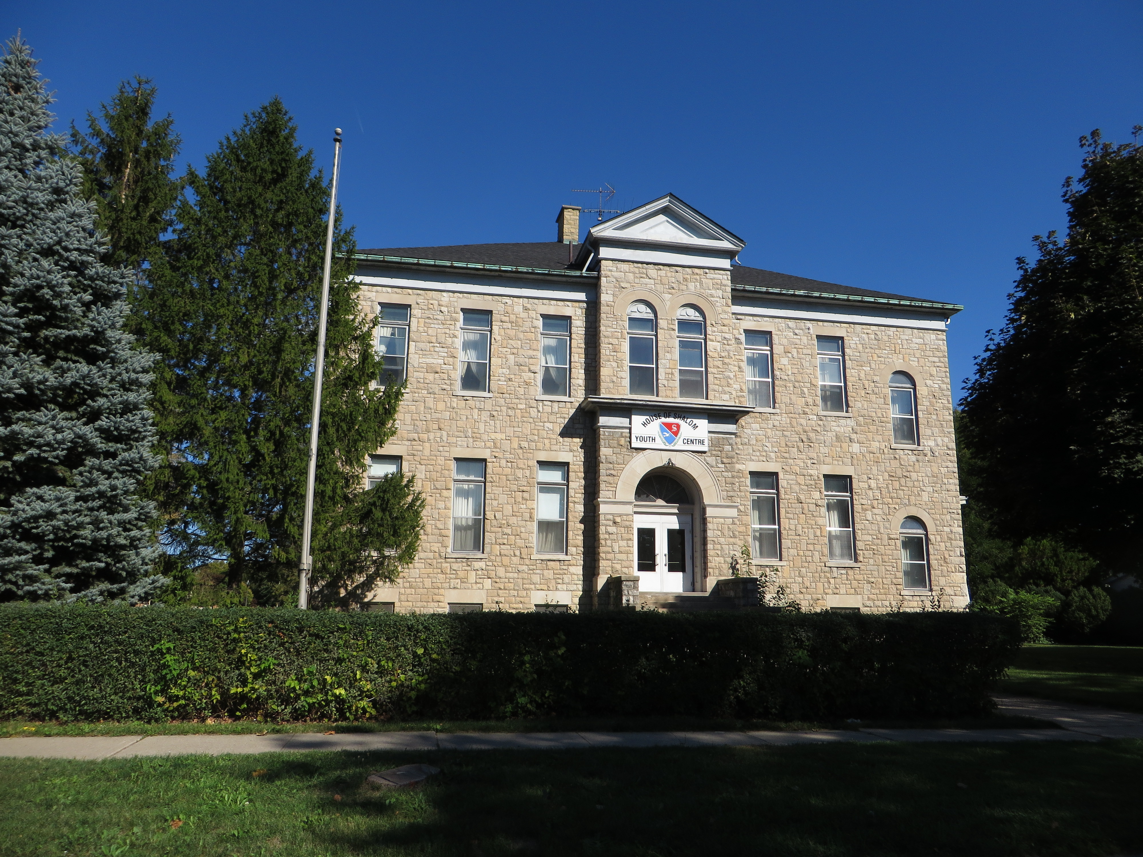
HBCA™
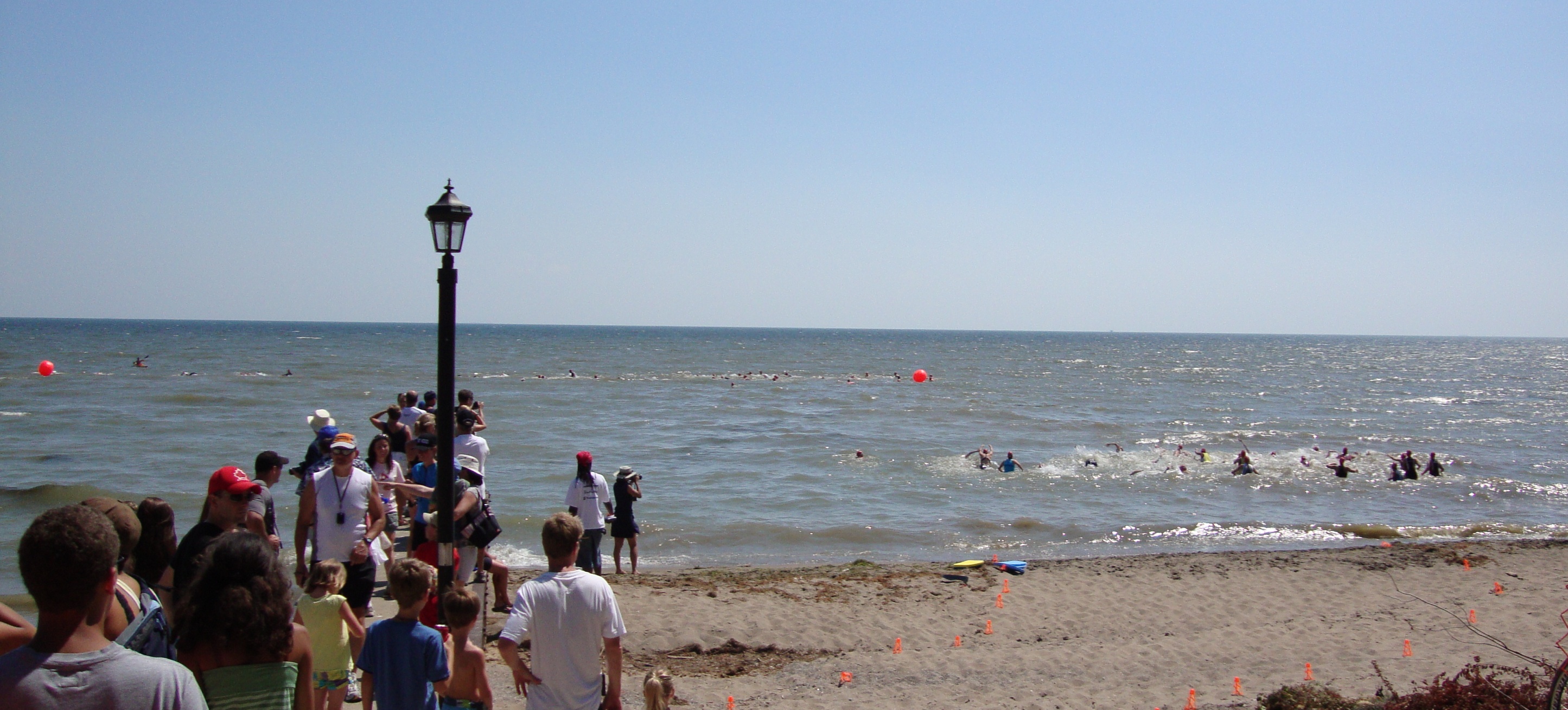
Female Sprint Swimmers
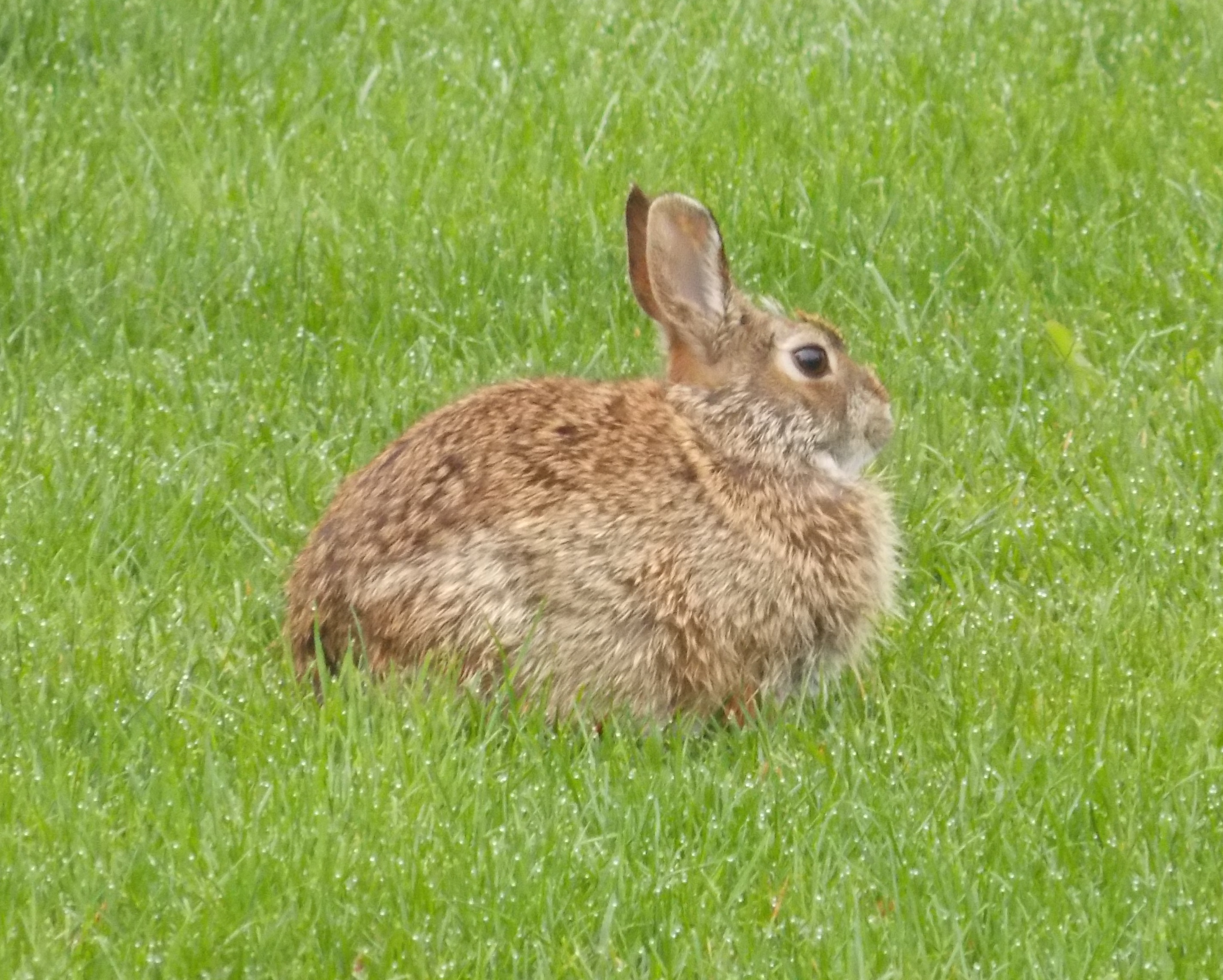
Rabbit in dew

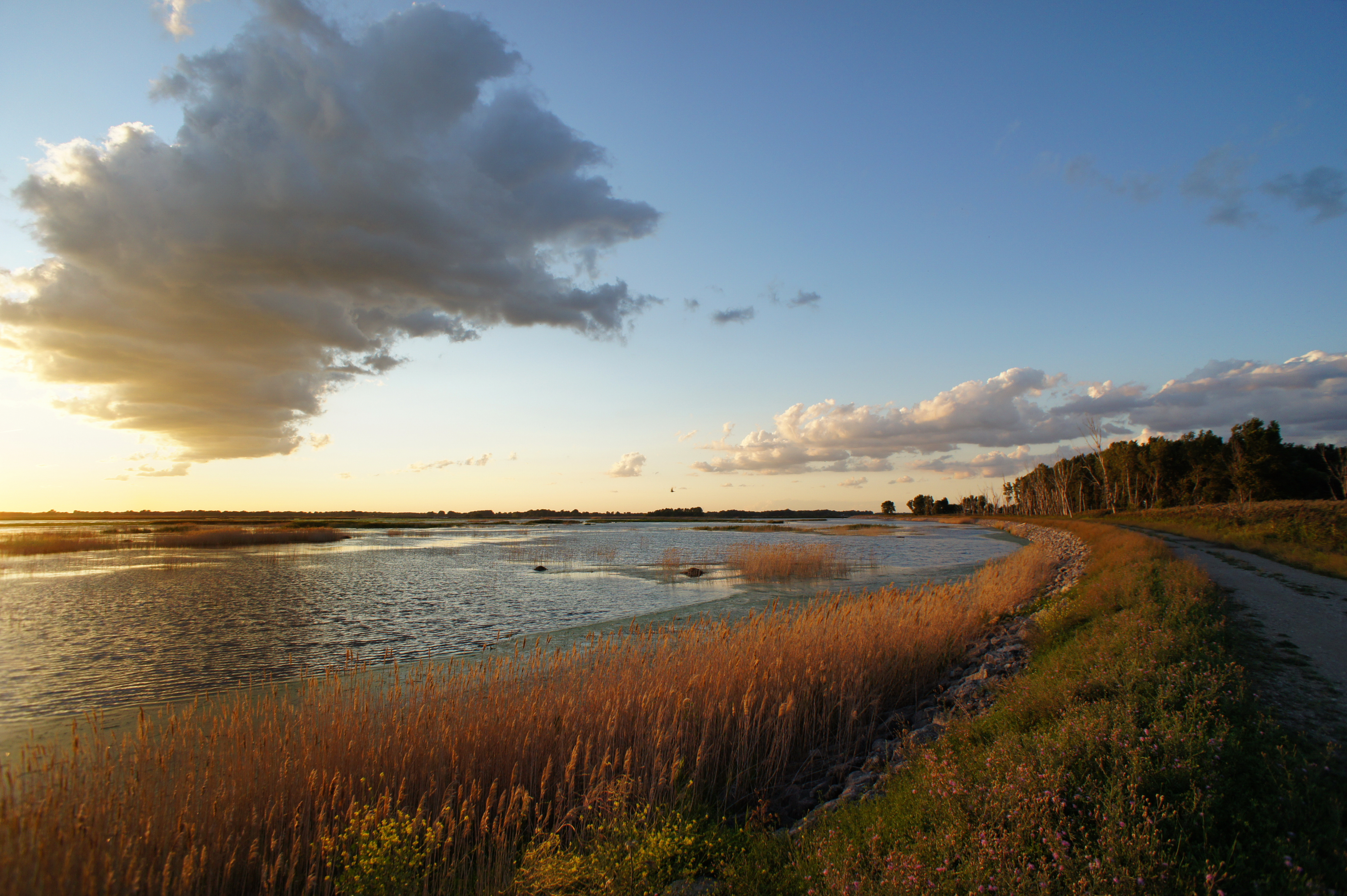
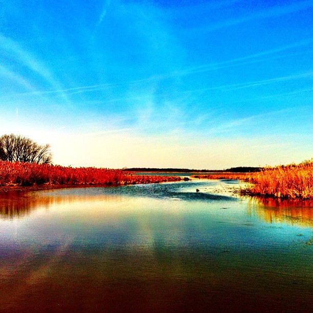
Wind over Lake Erie, Ontario
Captain Hackett's Island
Topographic Map of Erie Shores Dr, Harrow, ON N0R 1G0, Canada
Find elevation by address:

Places near Erie Shores Dr, Harrow, ON N0R 1G0, Canada:
531 Lakeside Dr
Lakeside Drive
160 Lakeside Dr
Pike Rd, Amherstburg, ON N9V 2Y7, Canada
1692 Park Ave
164 Meloche Rd
383 Summer Ridge Ct
16 Mediterranean Ave
16 Mediterranean Ave
106 Lowes Side Rd
Amherstburg
Royal Canadian Legion Branch 157
210 Dalhousie St
Edgewater Beach
Detroit River
Grosse Ile Township
22500 E River Rd
Erie Dr, Brownstown Charter Twp, MI, USA
Island Dr, Rockwood, MI, USA
7600 Horse Mill Rd
Recent Searches:
- Elevation of Corso Fratelli Cairoli, 35, Macerata MC, Italy
- Elevation of Tallevast Rd, Sarasota, FL, USA
- Elevation of 4th St E, Sonoma, CA, USA
- Elevation of Black Hollow Rd, Pennsdale, PA, USA
- Elevation of Oakland Ave, Williamsport, PA, USA
- Elevation of Pedrógão Grande, Portugal
- Elevation of Klee Dr, Martinsburg, WV, USA
- Elevation of Via Roma, Pieranica CR, Italy
- Elevation of Tavkvetili Mountain, Georgia
- Elevation of Hartfords Bluff Cir, Mt Pleasant, SC, USA