Elevation of Lakeshore Dr, Port Arthur, TX, USA

Location: United States > Texas > Jefferson County > Port Arthur >

Longitude: -93.917817

Latitude: 29.887591

Elevation: 2m / 7feet

Barometric Pressure: 101KPa

Elevation Map:

elevation map of Lakeshore Dr, Port Arthur, TX, USA

Satellite Map:

Satellite map of Lakeshore Dr, Port Arthur, TX, USA

Related Photos:

bridge river ship texas postcard ships bridges historic vintagepostcard orangecounty rainbowbridge bridging portarthur bridgecity jeffersoncounty nationalregisterofhistoricplaces nrhp bridgepixing bridgepix bridgeblog bridgephoto bridgepicture nechesriver texasbridges texasescapes portarthurbridge portarthurorangebridge 96001127
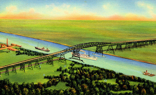
Vintage Postcard, Rainbow Bridge, Port Arthur, Texas
bridge river ship texas postcard ships bridges historic vintagepostcard rainbowbridge bridging portarthur bridgecity bridgepixing bridgepix bridgeblog bridgephoto bridgepicture nechesriver texasbridges texasescapes portarthurbridge portarthurorangebridge
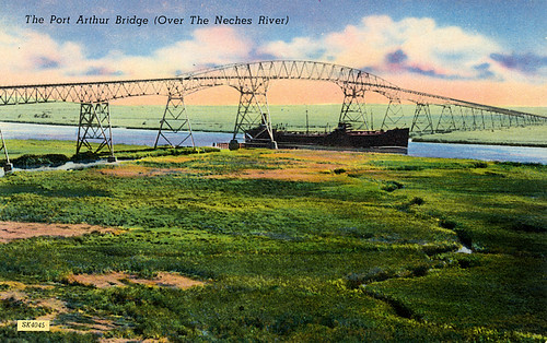
Vintage Postcard, Rainbow Bridge, Port Arthur, Texas
grass rusty shack
room with a view
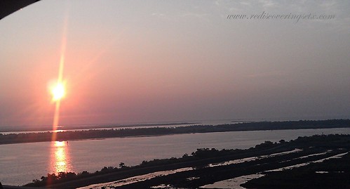
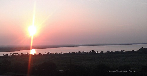
texasportarthursunsetwatershrimpboatsdramaticsky
Port Arthur, TX
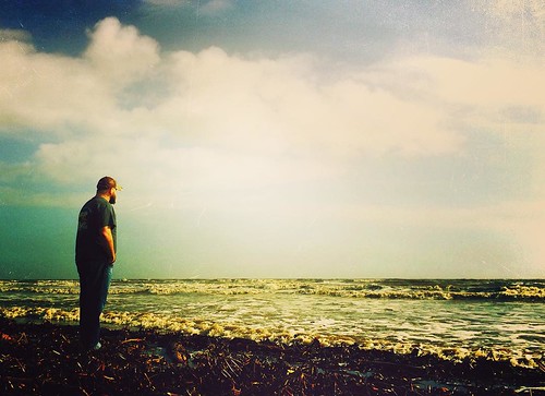
square squareformat iphoneography instagramapp uploaded:by=instagram
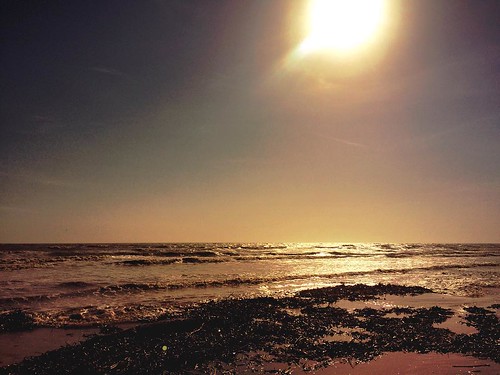
Sea Rim Beach #searimstatepark #gulfcoast
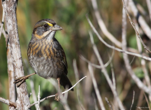
louisiana sparrow songbird cameronparish seasidesparrow ammodramusmaritumus
Seaside Sparrow
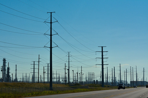
street morning blue trees brown green yellow skyline clouds giant landscape outdoors big focus industrial day mood texas unitedstates zoom near horizon nation perspective highcontrast line sunlit distance powerful portarthur texastx unitedstatesofamericausa nikonnikkor colorcolorful adobephotoshoplightroom carautomobilevehicle cameraframeimagecaptureshotphotophotographdigital formywifetheloveofmylife
Texas Forest?
square squareformat mayfair iphoneography instagramapp uploaded:by=instagram
Beautiful day at the beach #searimstatepark #gulfcoast
sunrise over neches2
Oldest living Oak in Texas.
Sunrise over Neches
sunset over neches 3
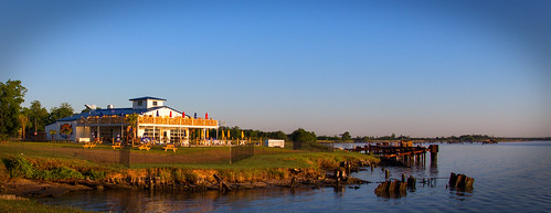
house wheel river texas restaraunt neches portneches
NEW RESTARAUNT
d800test (1 of 6)
square squareformat iphoneography instagramapp uploaded:by=instagram
Cool day on the gulf coast #searimstatepark #gulfcoast
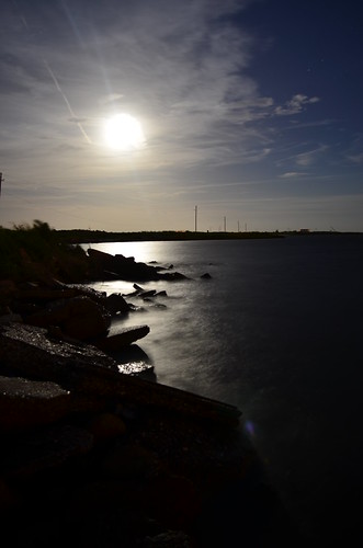
longexposure blue moon water night clouds nikon long exposure texas d5100
DSC_0204.JPG
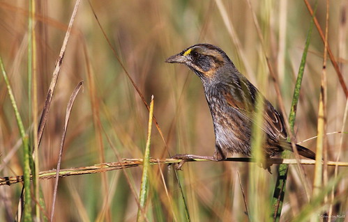
louisiana sparrow songbird cameronparish seasidesparrow ammodramusmaritumus
Seaside Sparrow
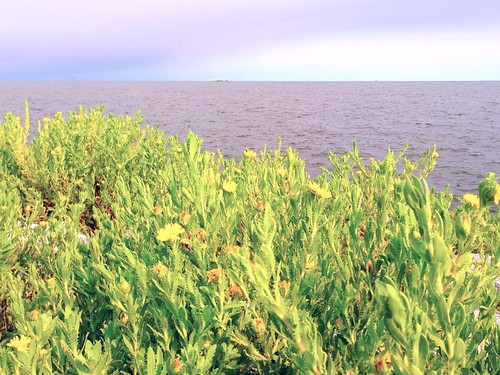
seawall uploaded:by=flickrmobile colorvibefilter flickriosapp:filter=colorvibe
Sabine lake
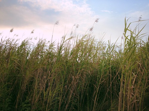
uploaded:by=flickrmobile flickriosapp:filter=nofilter
Swampland near Pleasure Island
square squareformat hudson iphoneography instagramapp uploaded:by=instagram foursquare:venue=4e87b060cc21e9e8593336f6
Instagrammed Sabine Lake
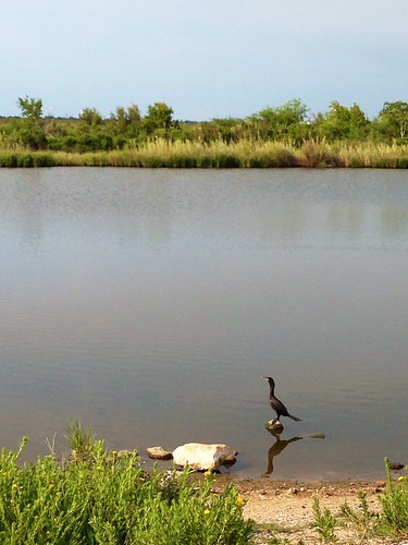
uploaded:by=flickrmobile flickriosapp:filter=nofilter
Bird on rock, Pleasure Island, TX
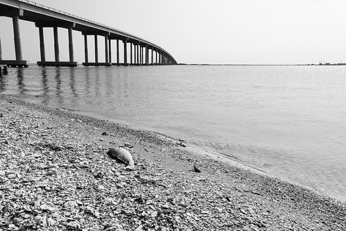
texas
Dead Fish
ocean longexposure morning sea blackandwhite bw usa white seascape motion detail water monochrome rock photography coast us photo movement october rocks waves photographer unitedstates image unitedstatesofamerica maine newengland august minimal coastal photograph le kennebunkport 100 24mm splash f71 squarecrop whitewash fineartphotography 200mm architecturalphotography 2015 commercialphotography fav10 2013 architecturephotography northeastus fineartphotographer houstonphotographer ¹⁄₅₀sec northeastunitedstates tse24mmf35lii ef100mmf28lmacroisusm mabrycampbell october32015 20151003h6a1549
White Wash IV
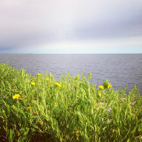
flowers usa plant water yellow photography photo october texas photographer image unitedstatesofamerica nopeople 100mm photograph 100 yellowflowers fineartphotography f63 portarthur architecturalphotography 2015 jeffersoncounty colorimage commercialphotography architecturephotography intimatelandscape intimateseascape houstonphotographer ¹⁄₈₀₀sec ef100mmf28lmacroisusm mabrycampbell october32015 20151003h6a1632
Yellow Flowers Around Rainbow Lane Port Arthur