Elevation of Gulfway Dr, Port Arthur, TX, USA
Location: United States > Texas > Jefferson County > Port Arthur >
Longitude: -93.941587
Latitude: 29.884687
Elevation: 0m / 0feet
Barometric Pressure: 101KPa
Elevation Map:
Satellite Map:
Related Photos:
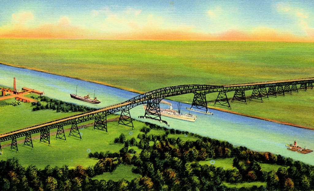
Vintage Postcard, Rainbow Bridge, Port Arthur, Texas

Vintage Postcard, Rainbow Bridge, Port Arthur, Texas
room with a view
Texas Forest?
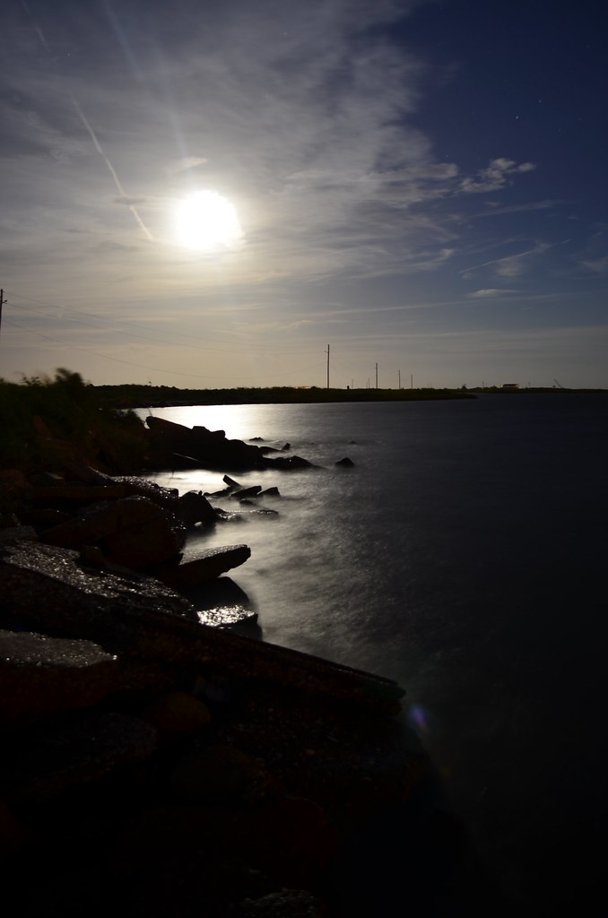
sunset over neches 3
DSC_0204.JPG

a detour through port arthur, tx

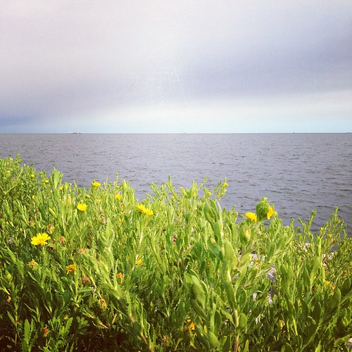
Yellow Flowers Around Rainbow Lane Port Arthur
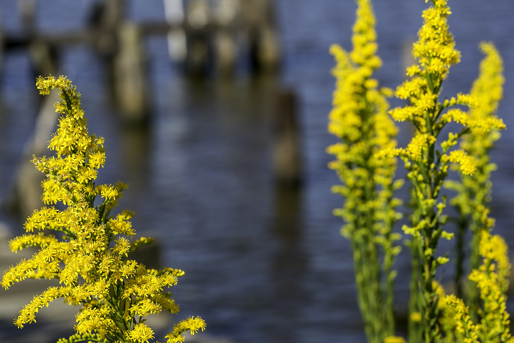
Yellow Flowers Around Rainbow Lane Port Arthur

Port Arthur, TX

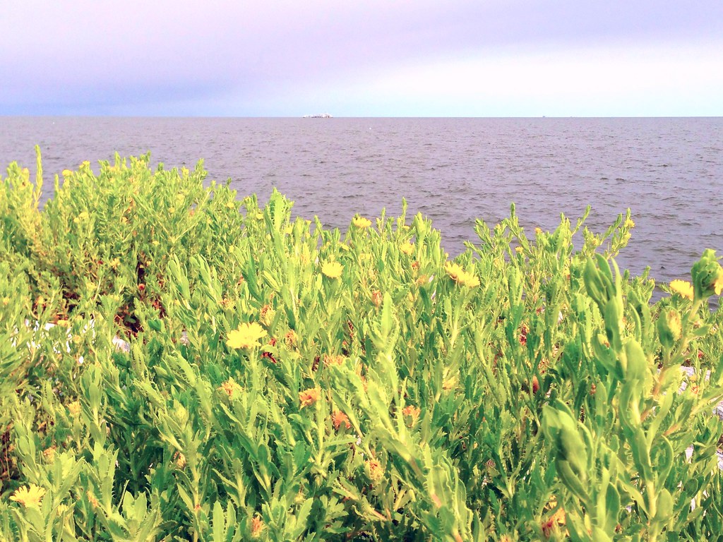
Sea Rim Beach #searimstatepark #gulfcoast

Seaside Sparrow

Beautiful day at the beach #searimstatepark #gulfcoast
sunrise over neches2

Oldest living Oak in Texas.

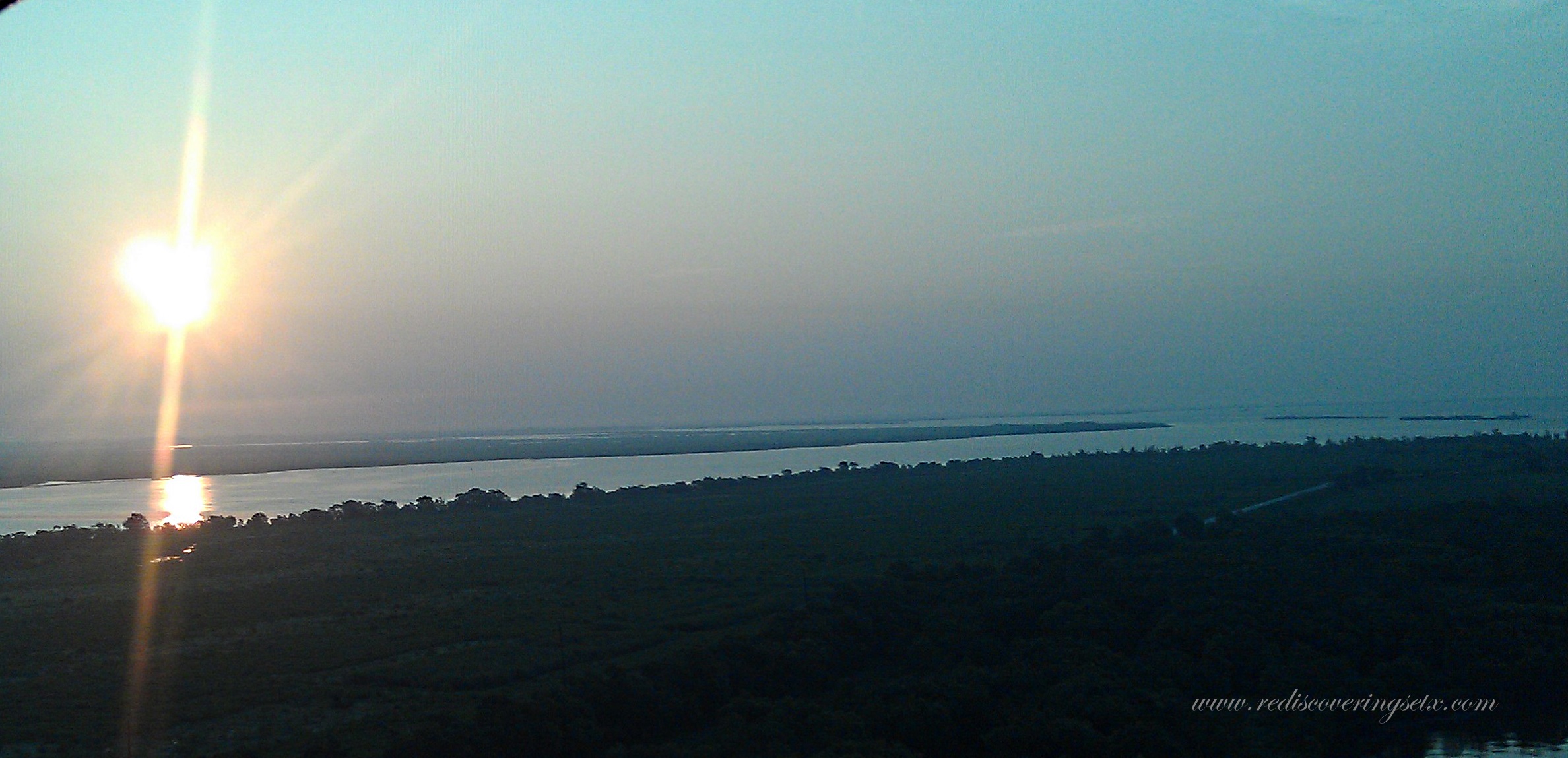
Sunrise over Neches

NEW RESTARAUNT

d800test (1 of 6)

Cool day on the gulf coast #searimstatepark #gulfcoast

Seaside Sparrow
Sabine lake

Swampland near Pleasure Island
Instagrammed Sabine Lake

Bird on rock, Pleasure Island, TX
Topographic Map of Gulfway Dr, Port Arthur, TX, USA
Find elevation by address:

Places near Gulfway Dr, Port Arthur, TX, USA:
1111 Gulfway Dr
Port Arthur
1600 Gulfway Dr
222 Bledsoe Pl
2934 29th St
2605 Lakeshore Dr
5th Avenue
3905 Platt Ave
Gulfway Drive
3617 Gulfway Dr
3617 Gulfway Dr
3007 40th St
2101 Glenwood Dr
2301 Date St
2301 Date St
3215 40th St
1600 Peek Ave
1600 Peek Ave
1600 Peek Ave
4128 Jean Ave
Recent Searches:
- Elevation of Corso Fratelli Cairoli, 35, Macerata MC, Italy
- Elevation of Tallevast Rd, Sarasota, FL, USA
- Elevation of 4th St E, Sonoma, CA, USA
- Elevation of Black Hollow Rd, Pennsdale, PA, USA
- Elevation of Oakland Ave, Williamsport, PA, USA
- Elevation of Pedrógão Grande, Portugal
- Elevation of Klee Dr, Martinsburg, WV, USA
- Elevation of Via Roma, Pieranica CR, Italy
- Elevation of Tavkvetili Mountain, Georgia
- Elevation of Hartfords Bluff Cir, Mt Pleasant, SC, USA