Elevation of Lake Morena Drive, Lake Morena Dr, Campo, CA, USA
Location: United States > California > San Diego County > Campo >
Longitude: -116.50185
Latitude: 32.6653594
Elevation: 949m / 3114feet
Barometric Pressure: 90KPa
Elevation Map:
Satellite Map:
Related Photos:
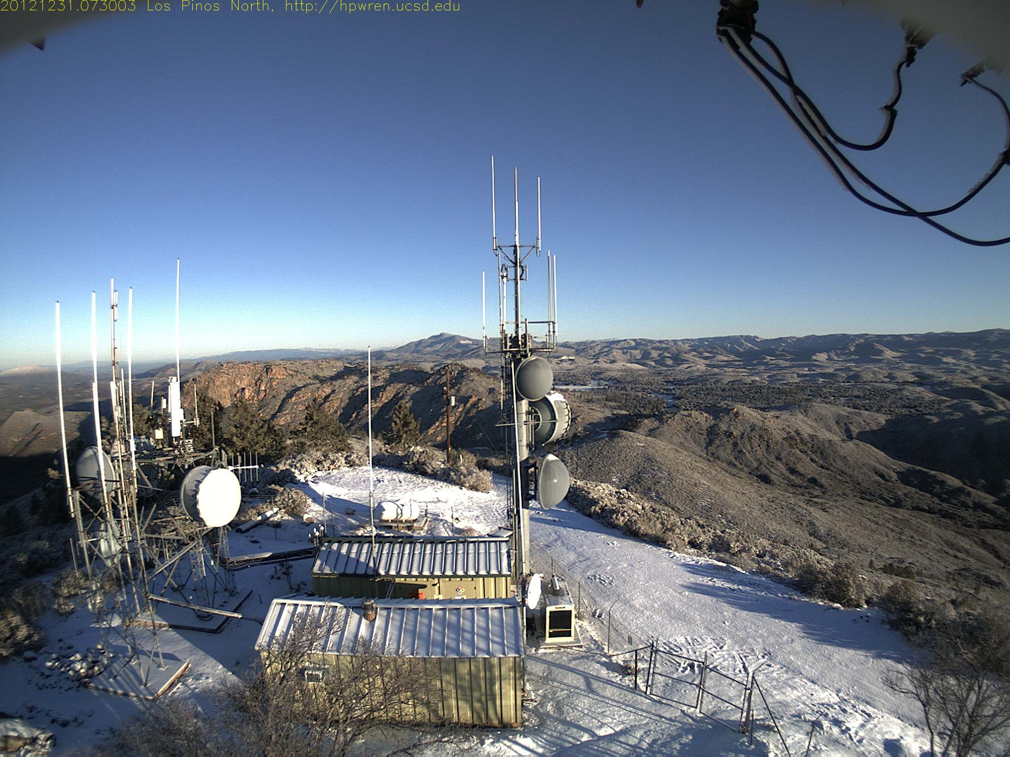
North view from 4,800-ft Los Pinos
View from the porch
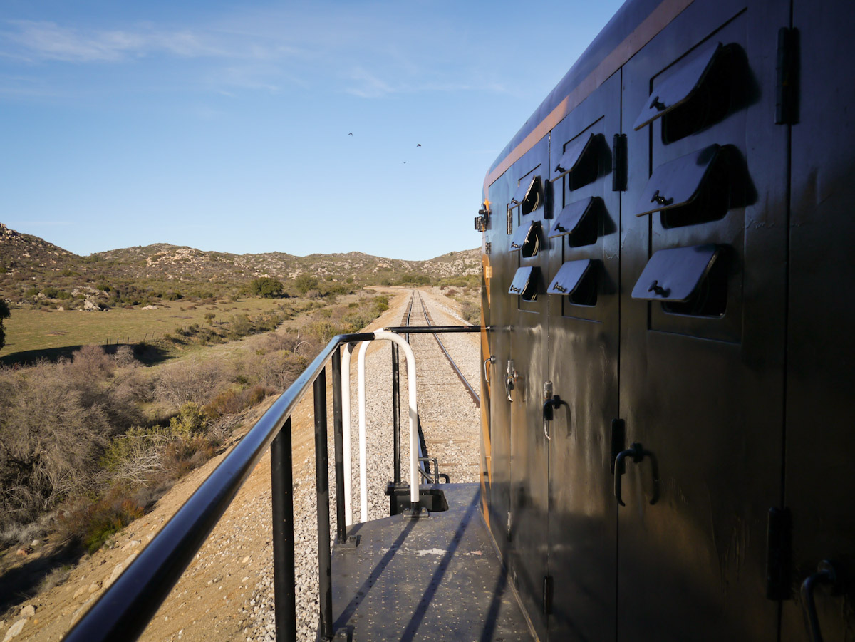
Cab view
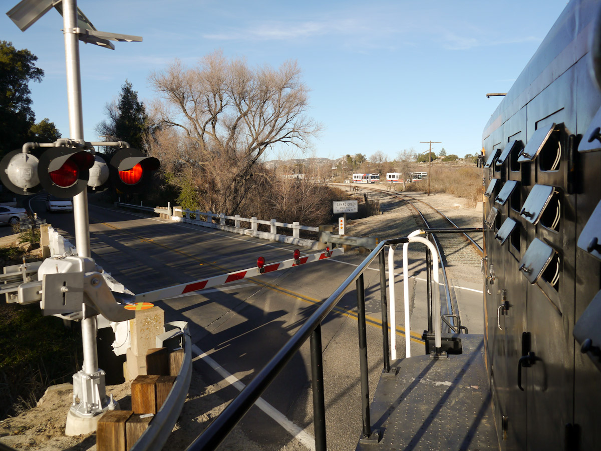
Campo Road Crossing
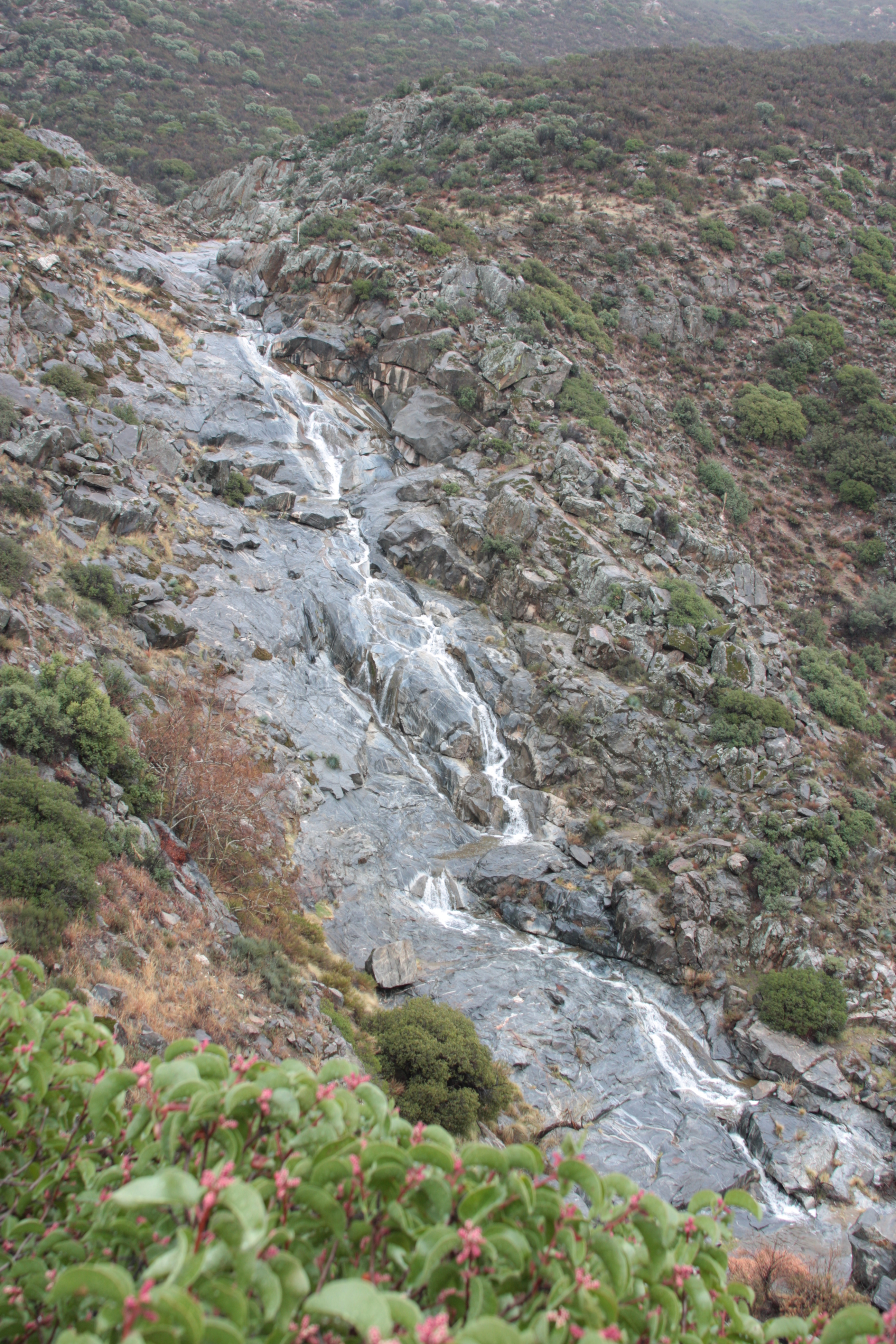
Full Falls 1
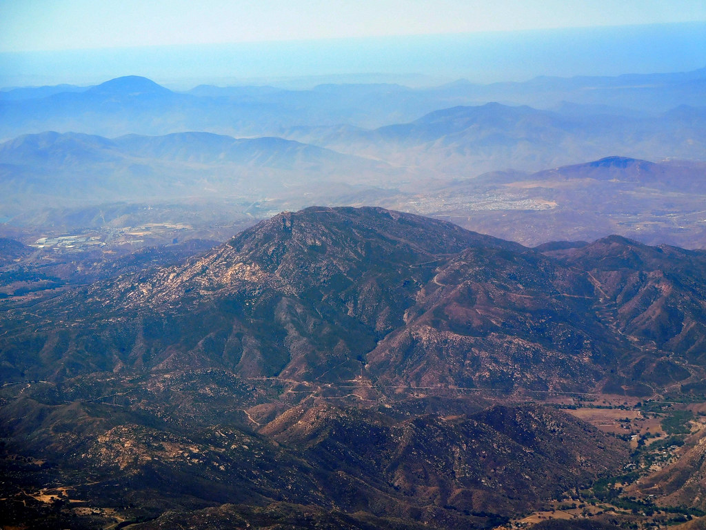
Aerial view of Mountain Range near San Diego CA
Goldie Rocks
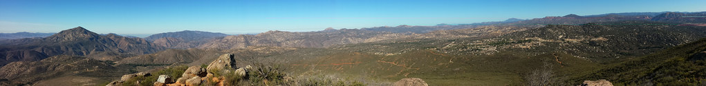
Potrero Peak Summit Pano

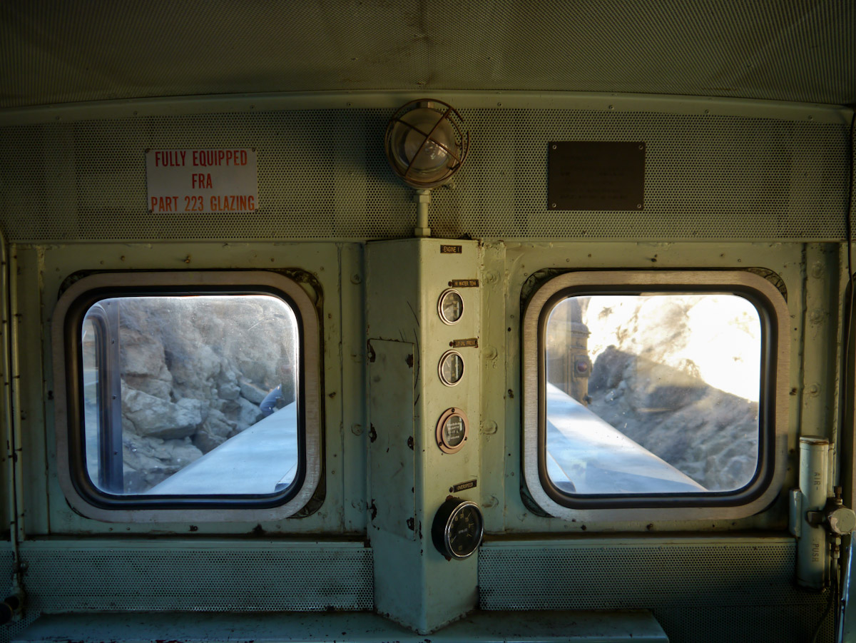
Light in the Window

Los Pinos Peak East view of 'Thunderheads' at sunrise
view upon waking

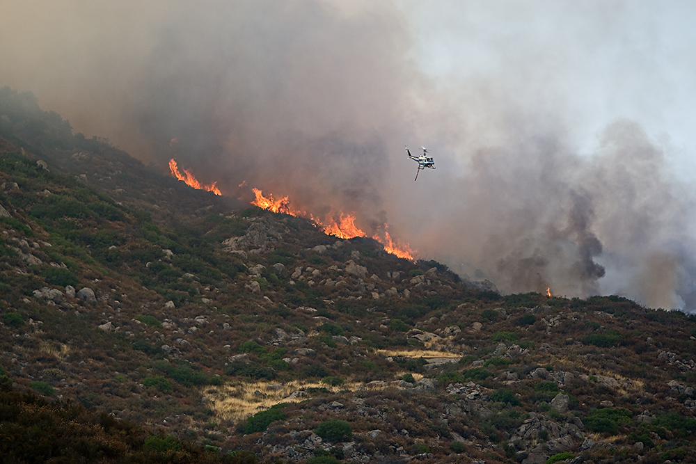
69 air miles away, the Mountain Fire from Los Pinos Peak N view 7-17-13 210 PM
Los Pinos East view -- after
Los Pinos 360° Panorama
Los Pinos West view: Shadow effect
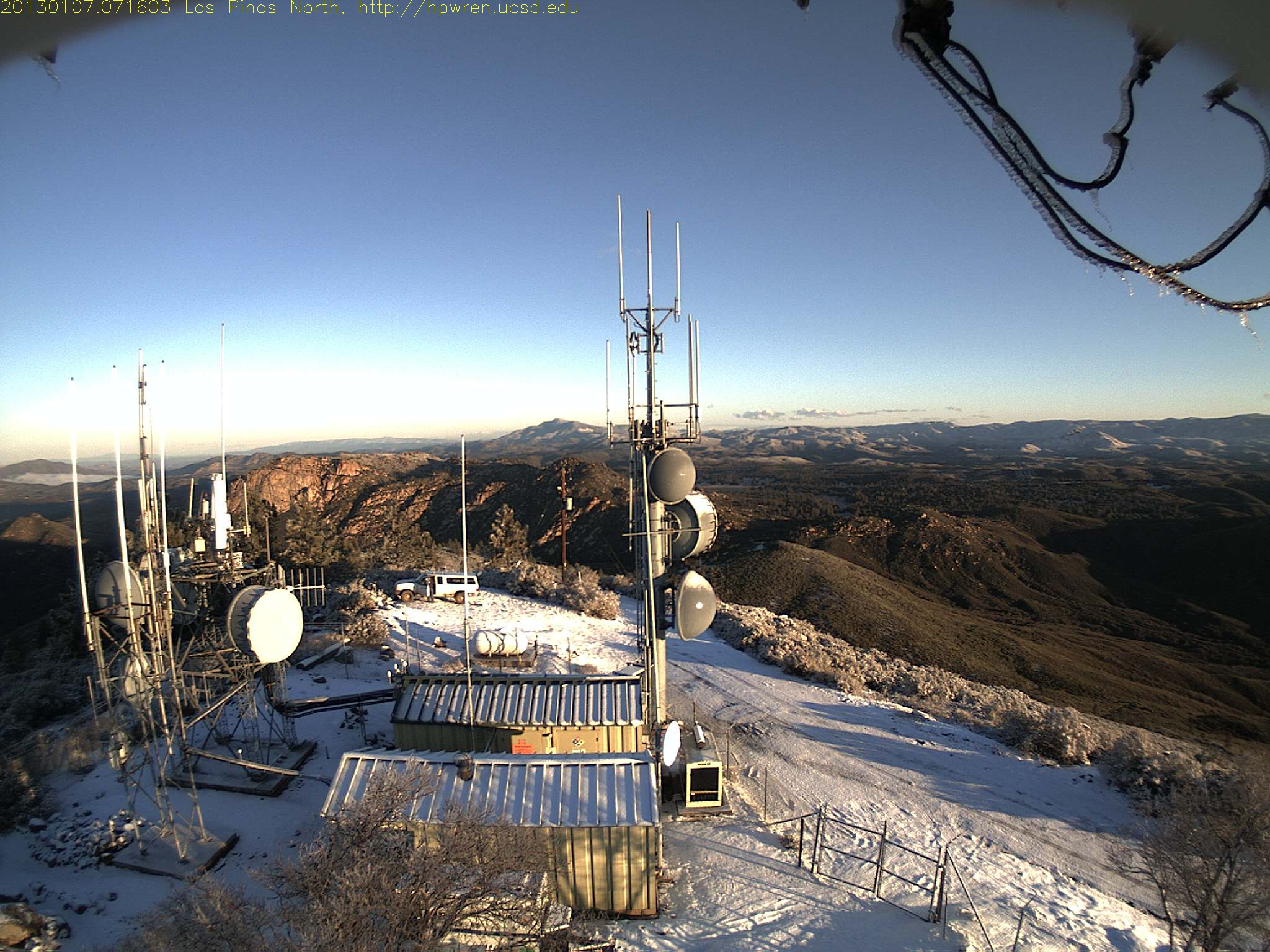
Los Pinos north view 0716
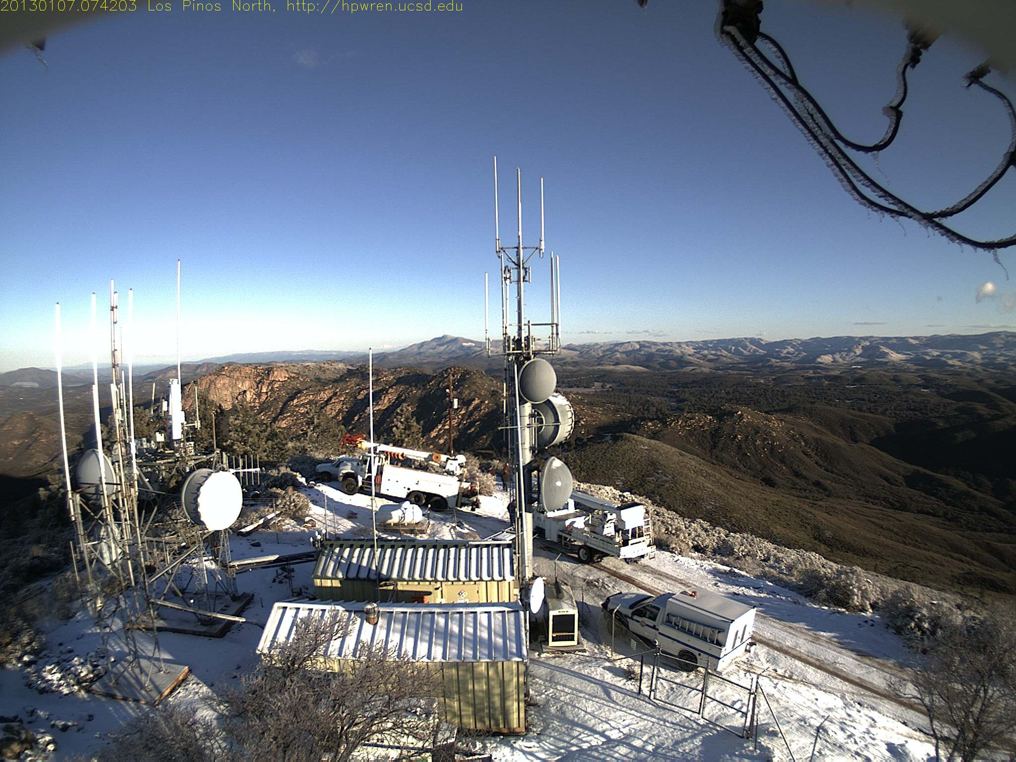
Mt Pinos north view 0742
Los Pinos East view: What a difference - - before

Los Pinos South view

Gold Digger

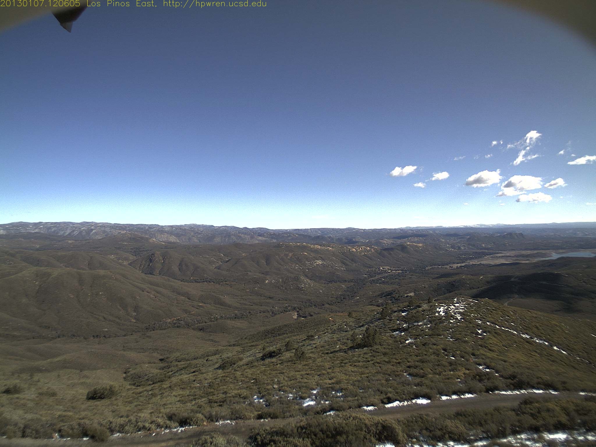
West view from 4800' Los Pinos Peak

Riveting Rust

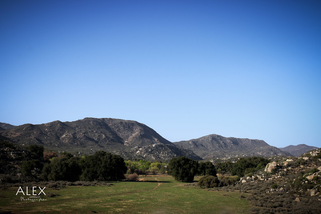
Backcountry vista
Cowboy Fire Photos by CAL FIRE VIP Photographer (22)
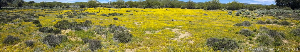
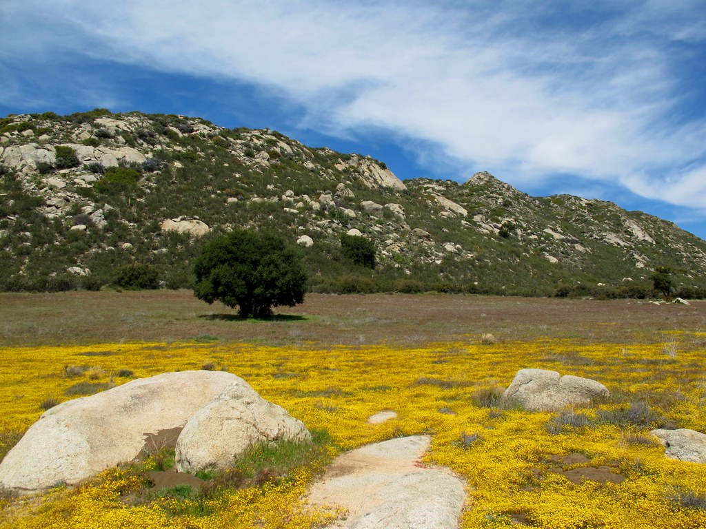
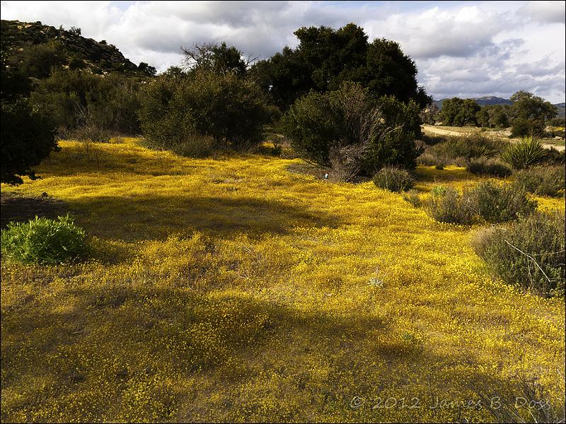
Yellow Flowers

Las Auras

#trees #nature #naturelovers #earth #life
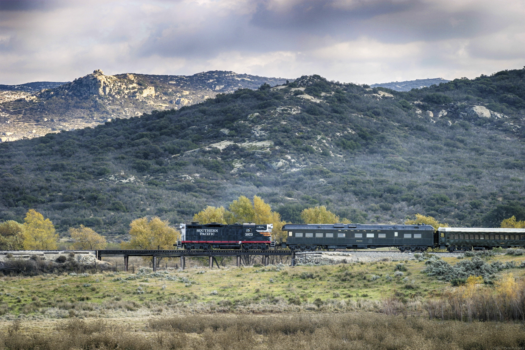
SP 3873 Campo California Nov 2004
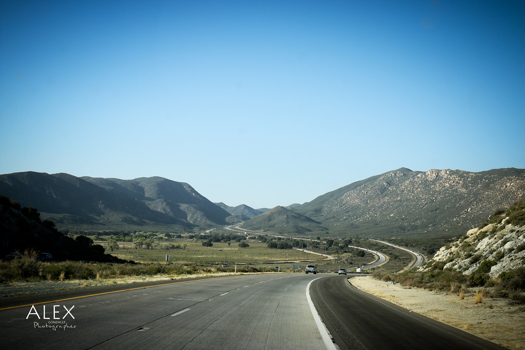
Pct day 2

_DSC1345-Pano-Edit.jpg
First sunset.
Watcher in Field of Yellow Flowers
Alpine, CA
-7° C remnants
Alpine, CA
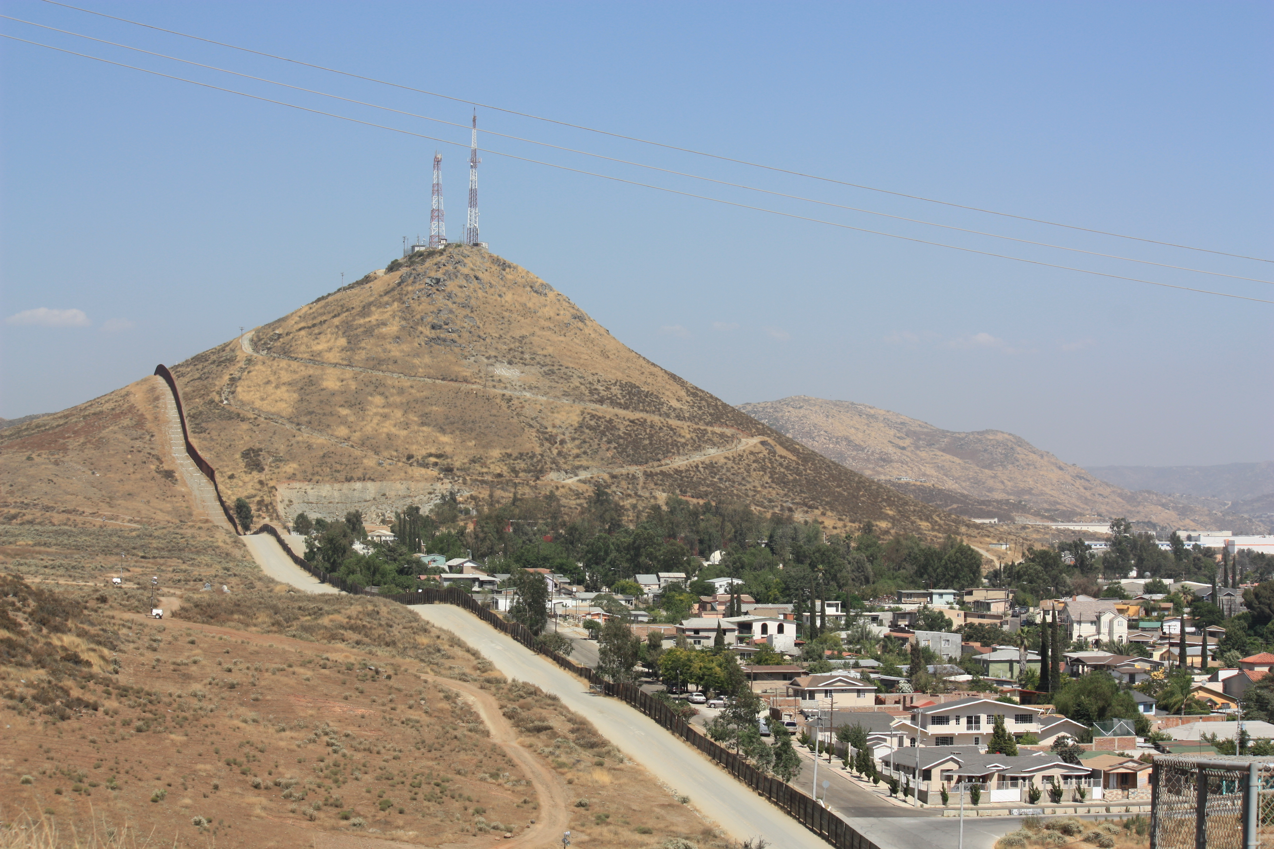
US-Mexico Border Fence

Lake Morena
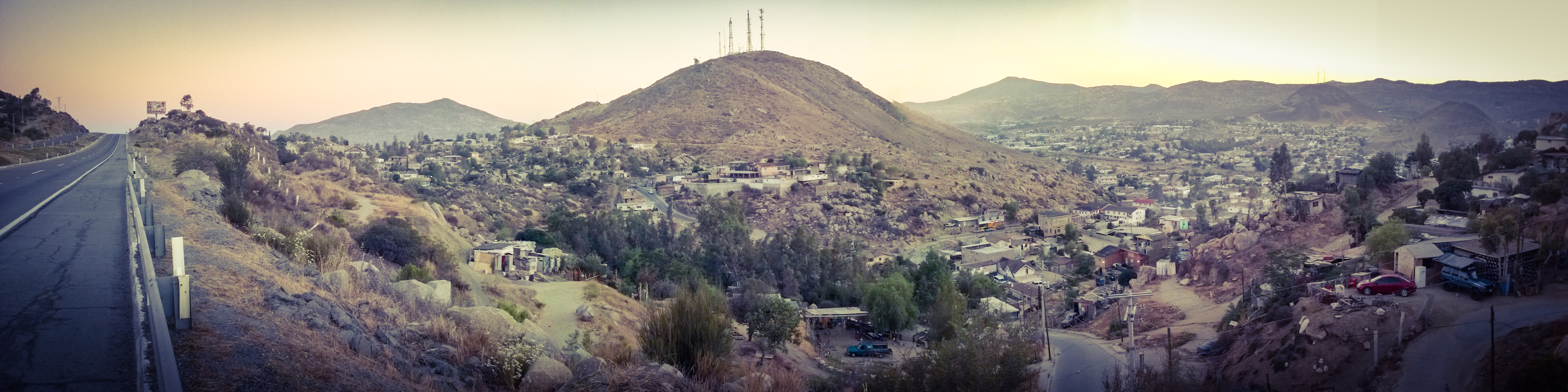
Entre cerros
Topographic Map of Lake Morena Drive, Lake Morena Dr, Campo, CA, USA
Find elevation by address:

Places near Lake Morena Drive, Lake Morena Dr, Campo, CA, USA:
2089 Lake Morena Dr
Morena View Dr, Campo, CA, USA
30025 Swan Dr
1817 Lake Morena Dr
2498 Bass Rd
Paprika Road
1648 Buckman Springs Rd
Buckman Springs Road
1361 Dewey Pl
1361 Dewey Pl
1361 Dewey Pl
1361 Dewey Pl
1361 Dewey Pl
1361 Dewey Pl
Dewey Pl, Campo, CA, USA
32126 Hwy 94
24463 Hwy 94
Campo Road
Sheridan Road
Sheridan Road
Recent Searches:
- Elevation of Corso Fratelli Cairoli, 35, Macerata MC, Italy
- Elevation of Tallevast Rd, Sarasota, FL, USA
- Elevation of 4th St E, Sonoma, CA, USA
- Elevation of Black Hollow Rd, Pennsdale, PA, USA
- Elevation of Oakland Ave, Williamsport, PA, USA
- Elevation of Pedrógão Grande, Portugal
- Elevation of Klee Dr, Martinsburg, WV, USA
- Elevation of Via Roma, Pieranica CR, Italy
- Elevation of Tavkvetili Mountain, Georgia
- Elevation of Hartfords Bluff Cir, Mt Pleasant, SC, USA