Elevation of Buckman Springs Road, Buckman Springs Rd, California, USA
Location: United States > California > San Diego County > Campo >
Longitude: -116.48960
Latitude: 32.6947174
Elevation: 984m / 3228feet
Barometric Pressure: 90KPa
Elevation Map:
Satellite Map:
Related Photos:
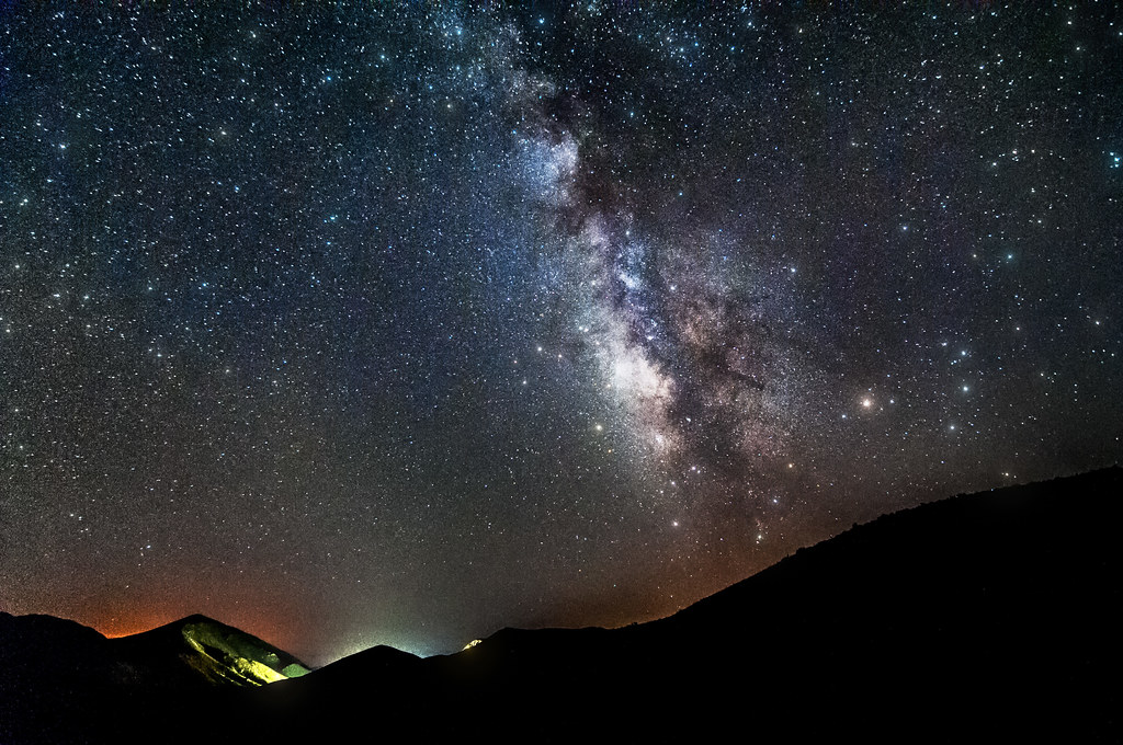
Mountain Top Milky Way
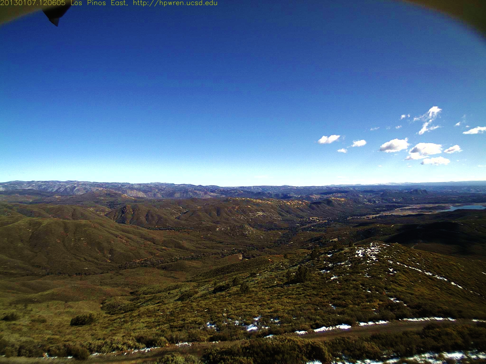
Los Pinos East view -- after
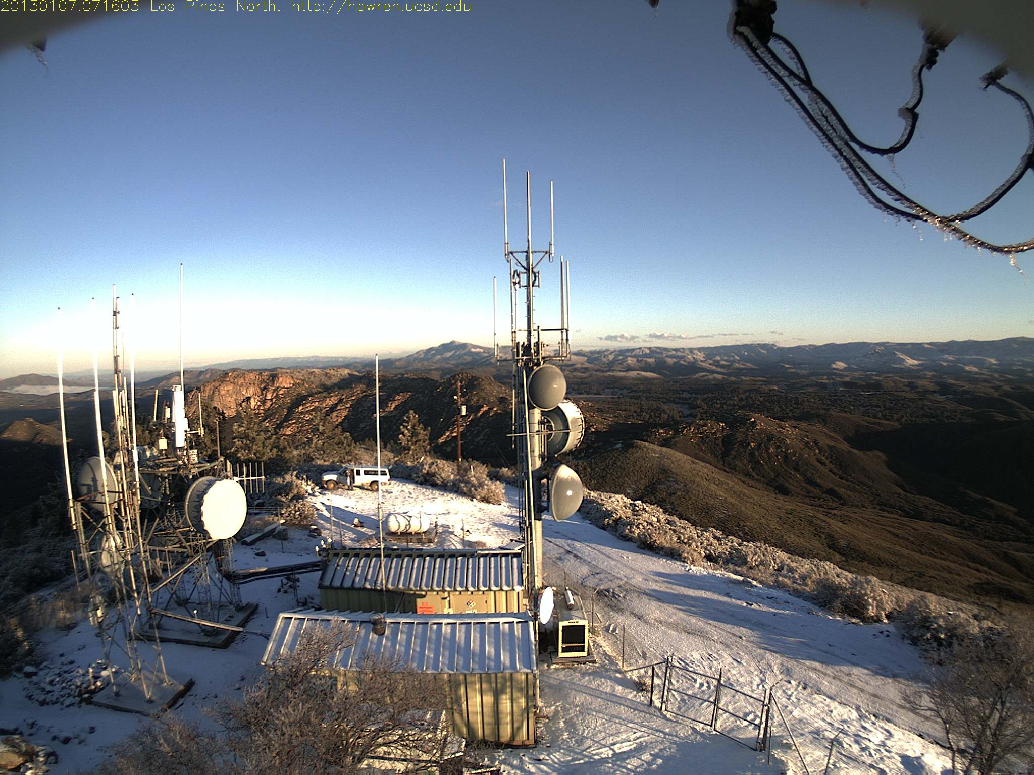
Los Pinos north view 0716

Desert View Tower
view upon waking
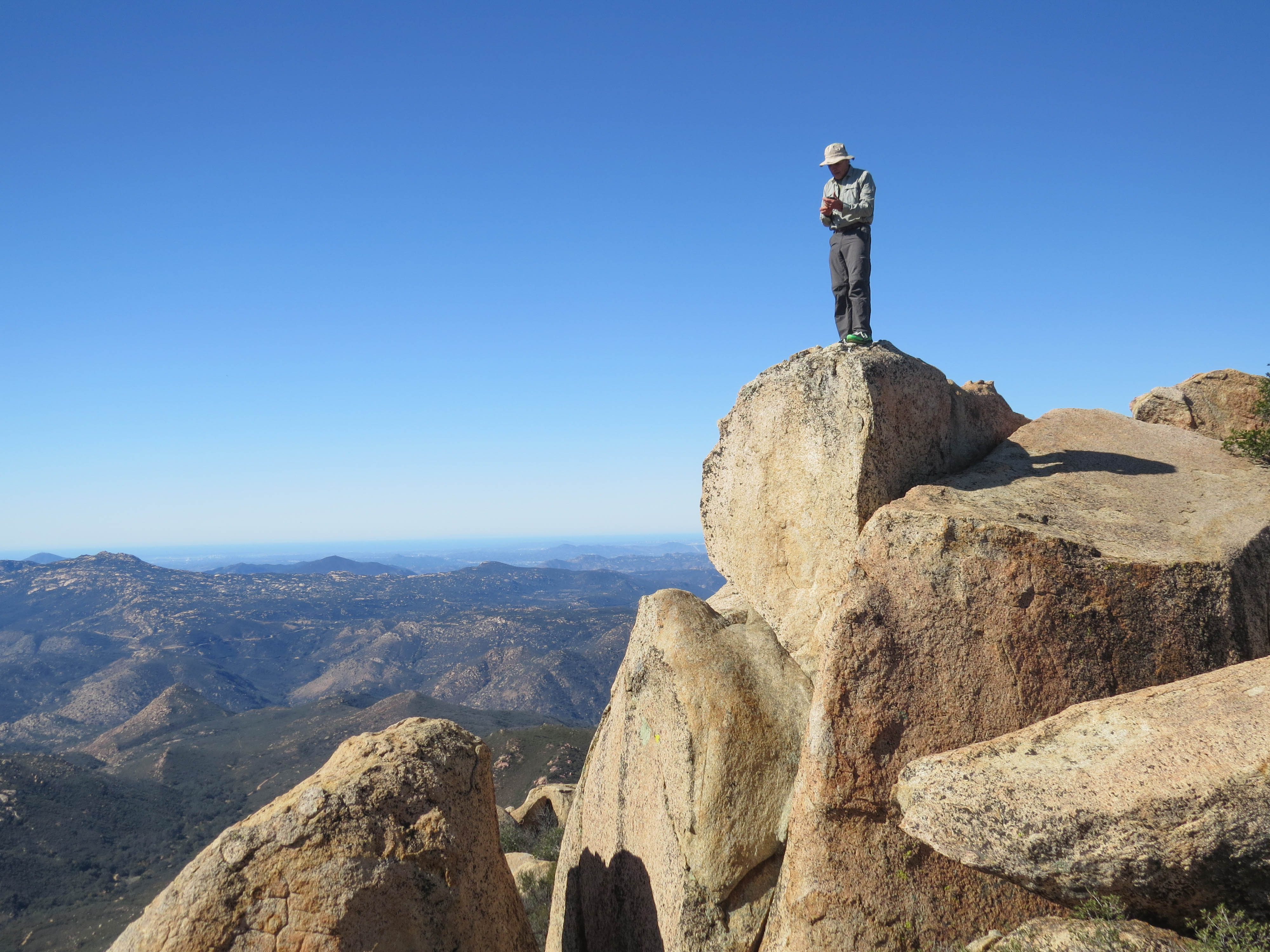
Potrero Peak Summit Pano

Gold Digger
Goldie Rocks

Light in the Window
Los Pinos West view: Shadow effect

view from Pine Creek climb
Los Pinos 360° Panorama
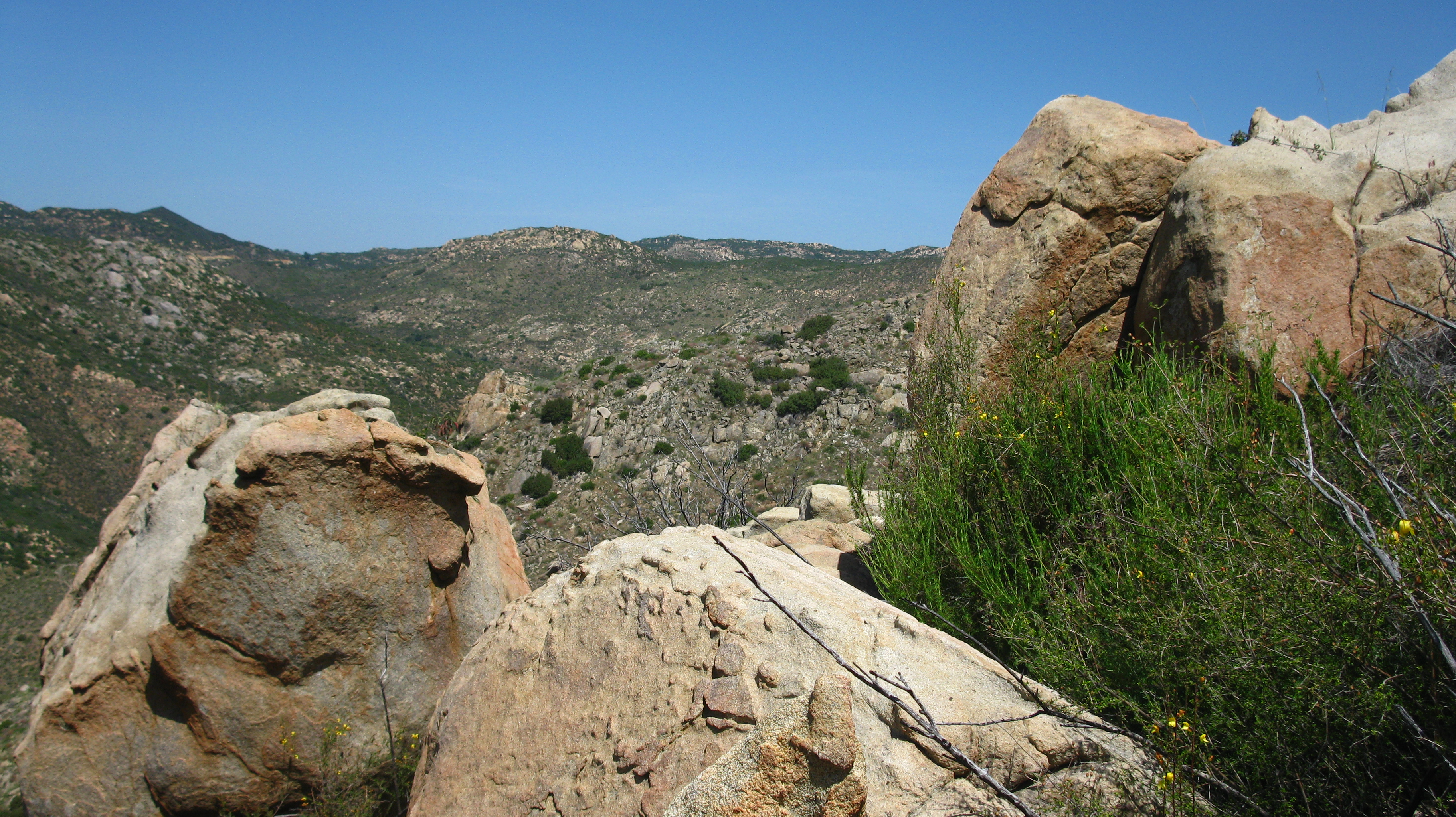
Enjoying the view with the boulders

Full Falls 1

View from the top of Pine Creek
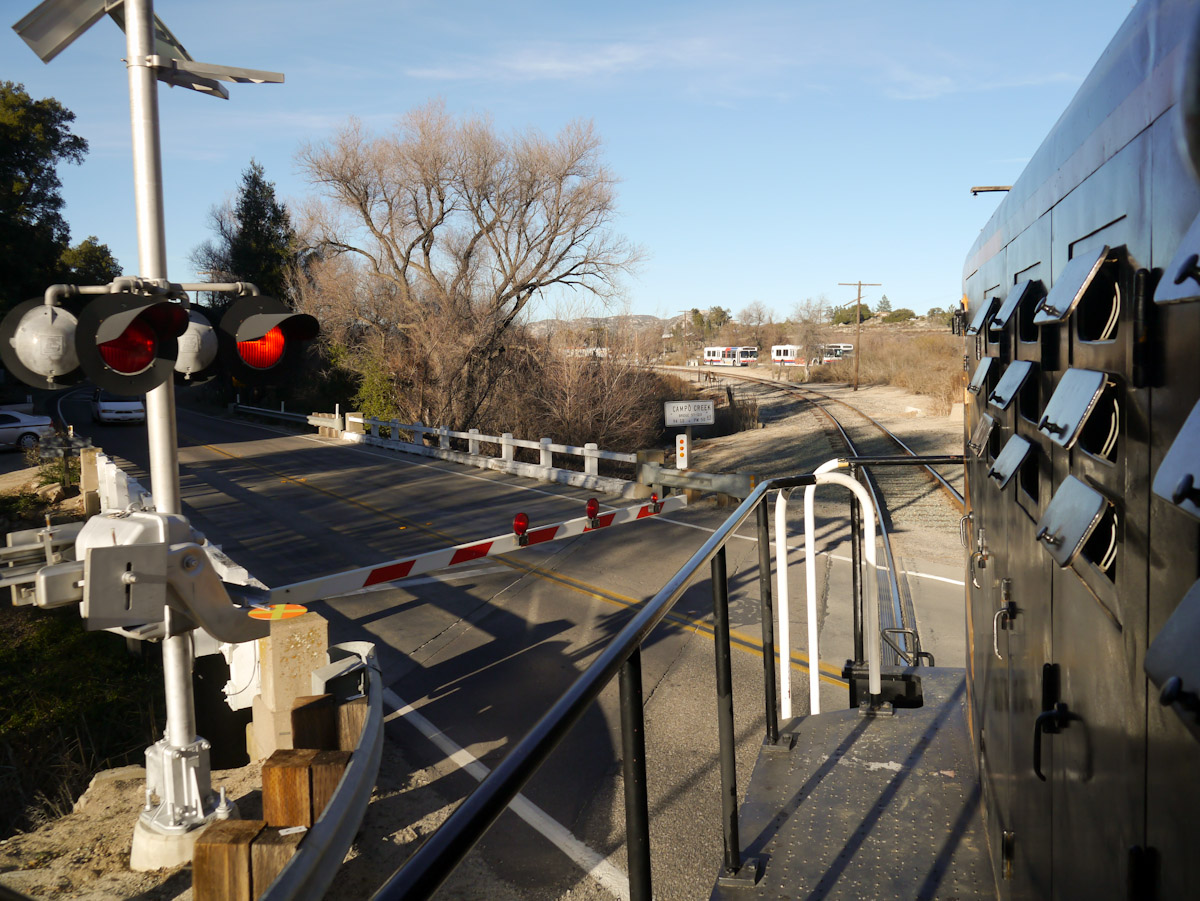
Campo Road Crossing
View from the front door
Point of View
Kitchen Creek Falls
Canyon View

Open Car 0972
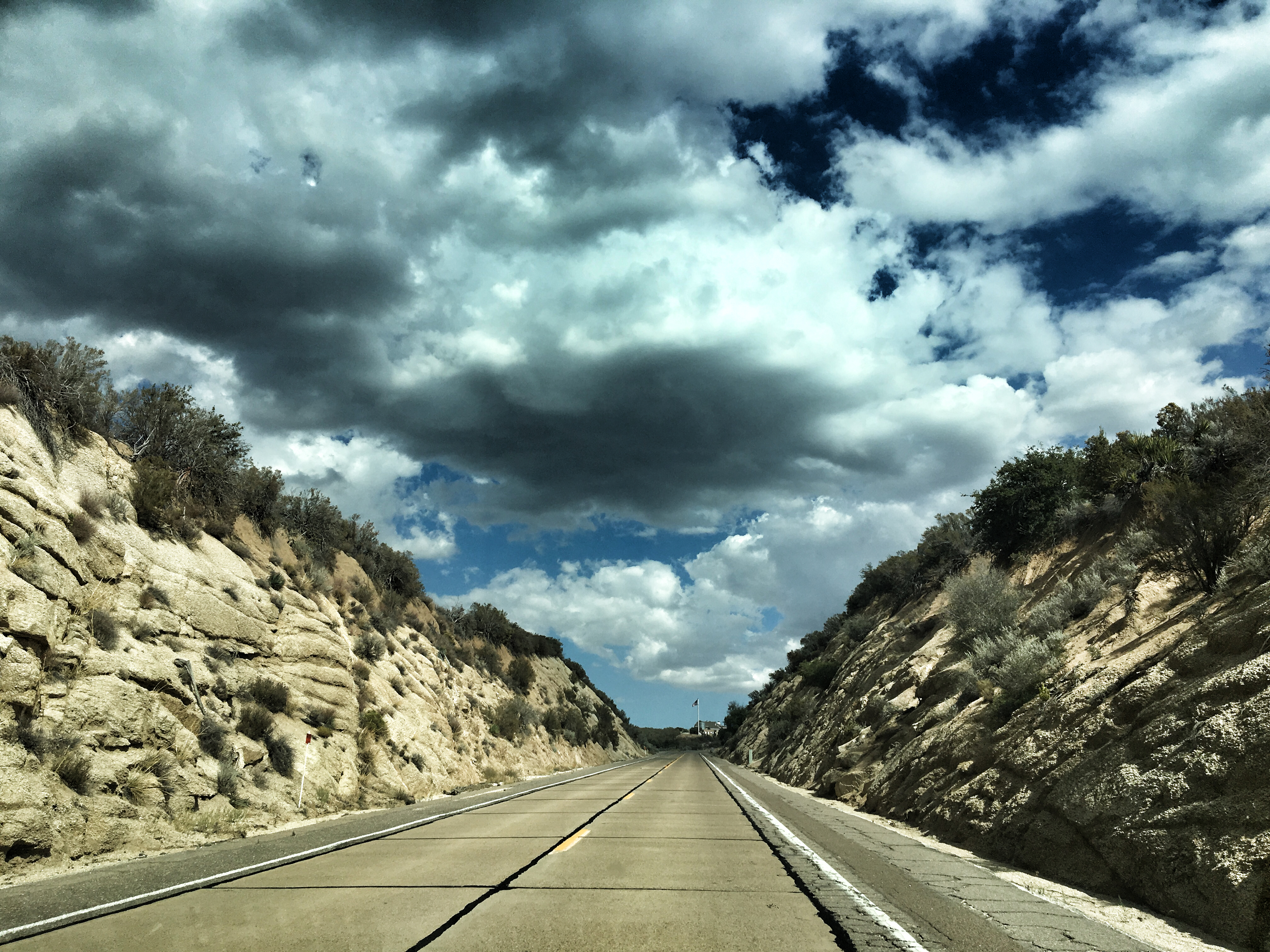
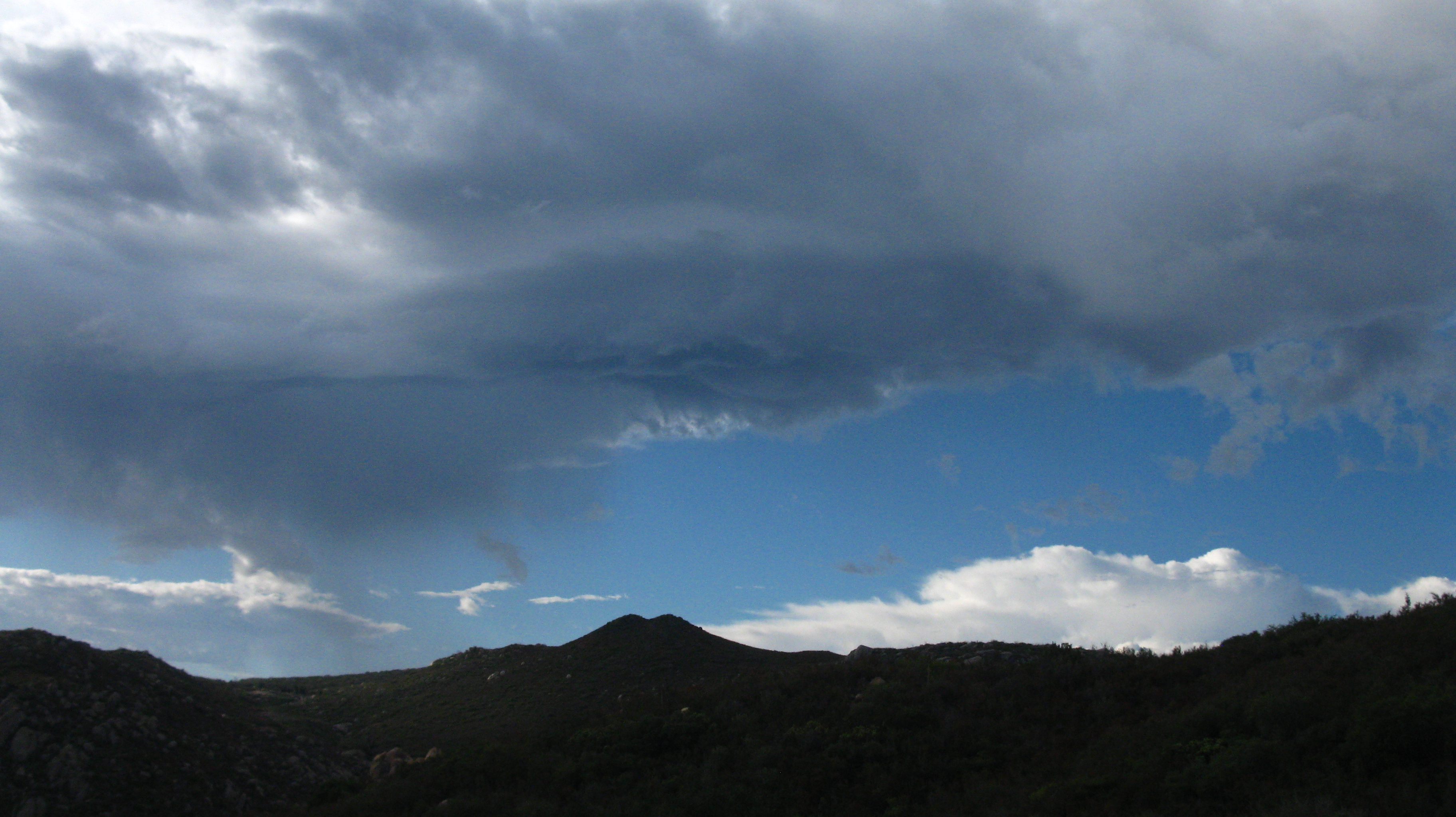
Storm Clouds Blowing in
Leather Spineflower (Lastarriaea coriacea), Campo, CA, 4-21-18 D

Pacific Crest Trail, 2018
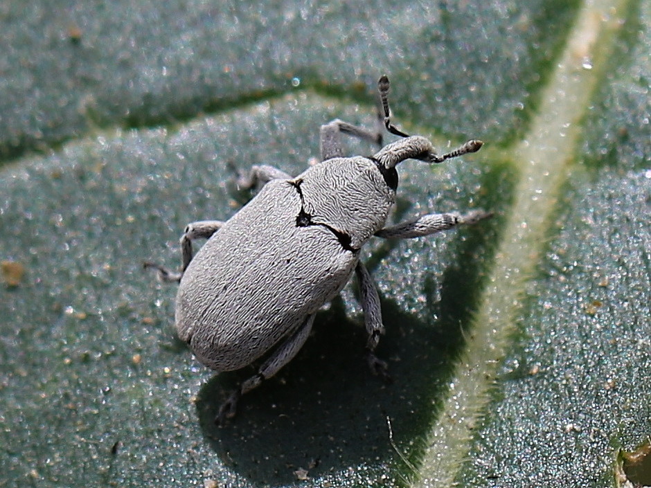
Weevil (Trichobaris compacta) on Datura, Canyon City, San Diego County, CA, 4-21-18 B

Pacific Crest Trail, 2018

Pacific Crest Trail, 2018
U.S. Highway 80
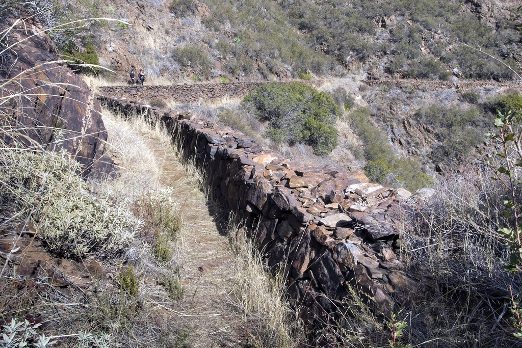
Walking The Pine Valley Flume
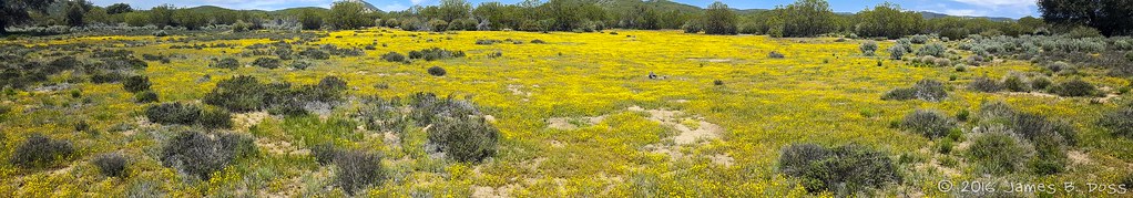
Yellow Flowers
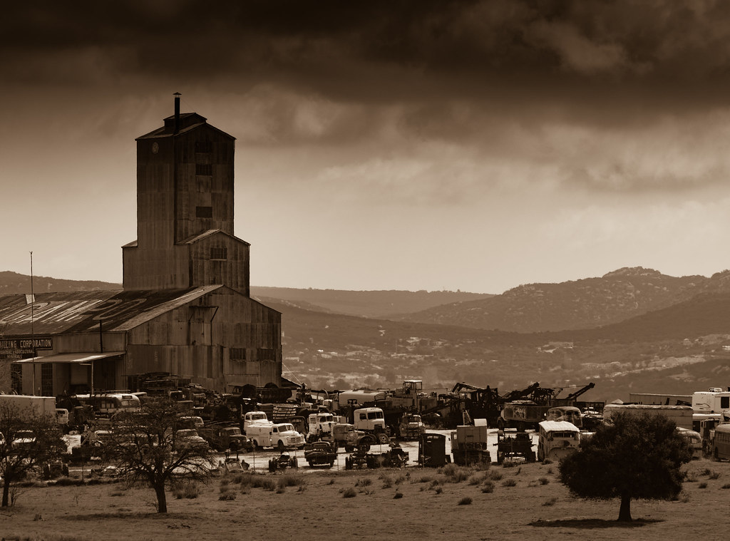
Campo Truck Museum
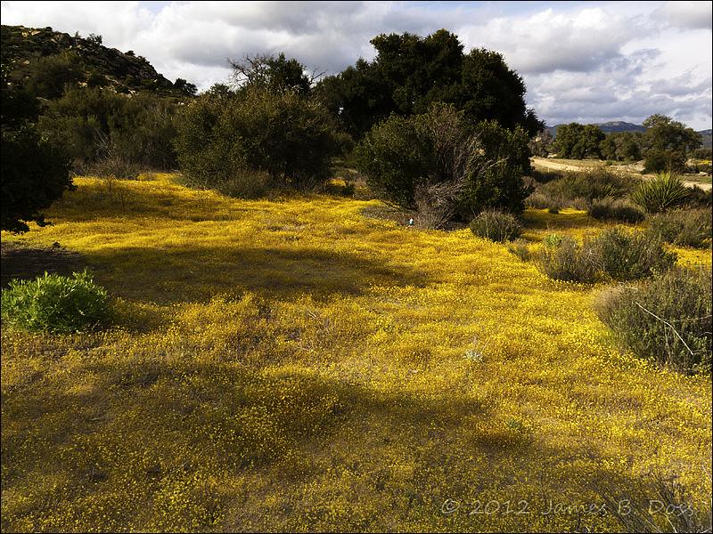
Watcher in Field of Yellow Flowers
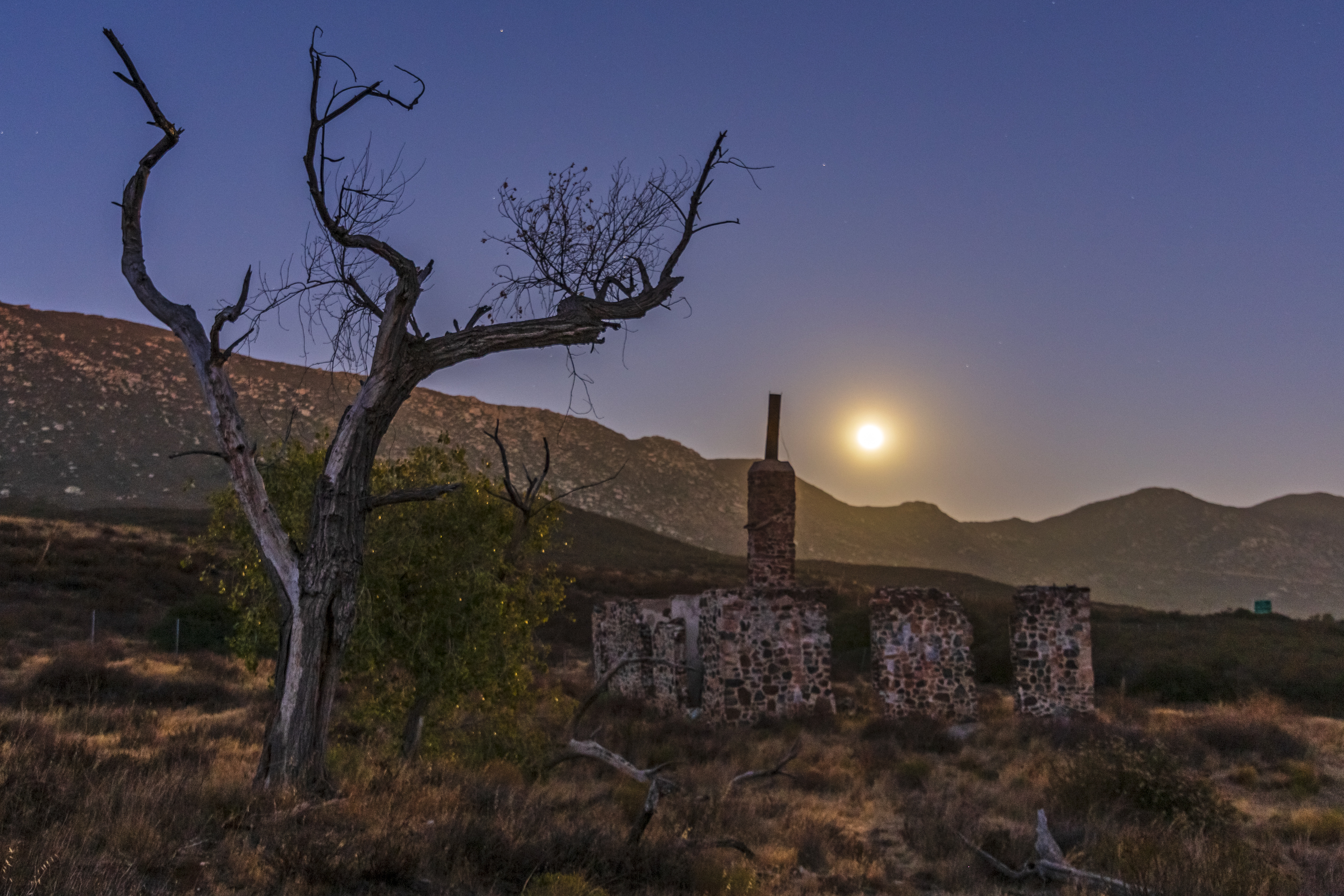
Ruins of the Buckman homestead along Old Highway 80 under a full moon

Pacific Crest Trail, 2018

Espinosa Ravine

Corte Madera and Approaching Storm

Boulder with clouds
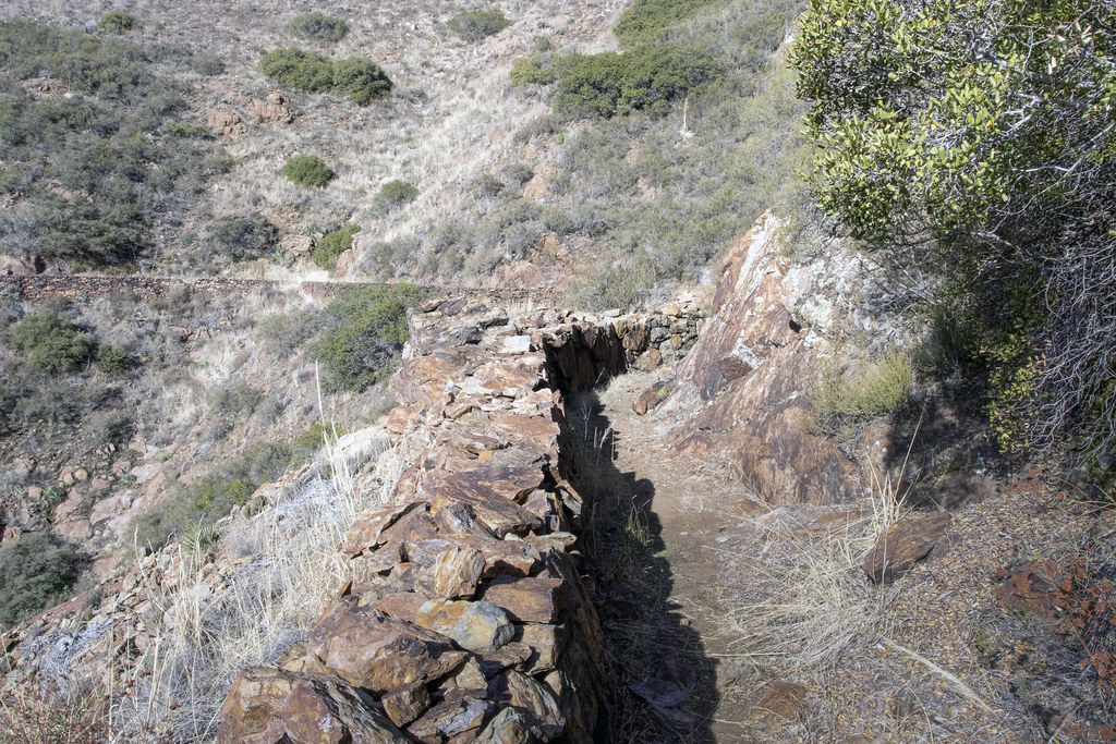
Pine Valley Flume Bend
Double peaked hill top, today's hike

Pacific Crest Trail, 2018
Topographic Map of Buckman Springs Road, Buckman Springs Rd, California, USA
Find elevation by address:

Places near Buckman Springs Road, Buckman Springs Rd, California, USA:
Paprika Road
2498 Bass Rd
30025 Swan Dr
Morena View Dr, Campo, CA, USA
Lake Morena Drive
2089 Lake Morena Dr
1817 Lake Morena Dr
1648 Buckman Springs Rd
32126 Hwy 94
24463 Hwy 94
1361 Dewey Pl
1361 Dewey Pl
1361 Dewey Pl
1361 Dewey Pl
1361 Dewey Pl
1361 Dewey Pl
Dewey Pl, Campo, CA, USA
Sheridan Road
Sheridan Road
Campo Road
Recent Searches:
- Elevation of Corso Fratelli Cairoli, 35, Macerata MC, Italy
- Elevation of Tallevast Rd, Sarasota, FL, USA
- Elevation of 4th St E, Sonoma, CA, USA
- Elevation of Black Hollow Rd, Pennsdale, PA, USA
- Elevation of Oakland Ave, Williamsport, PA, USA
- Elevation of Pedrógão Grande, Portugal
- Elevation of Klee Dr, Martinsburg, WV, USA
- Elevation of Via Roma, Pieranica CR, Italy
- Elevation of Tavkvetili Mountain, Georgia
- Elevation of Hartfords Bluff Cir, Mt Pleasant, SC, USA