Elevation of Lake Dr, Arrowhead Farms, CA, USA
Location: United States > California > San Bernardino County > Lake Arrowhead >
Longitude: -117.18412
Latitude: 34.239187
Elevation: 1707m / 5600feet
Barometric Pressure: 82KPa
Elevation Map:
Satellite Map:
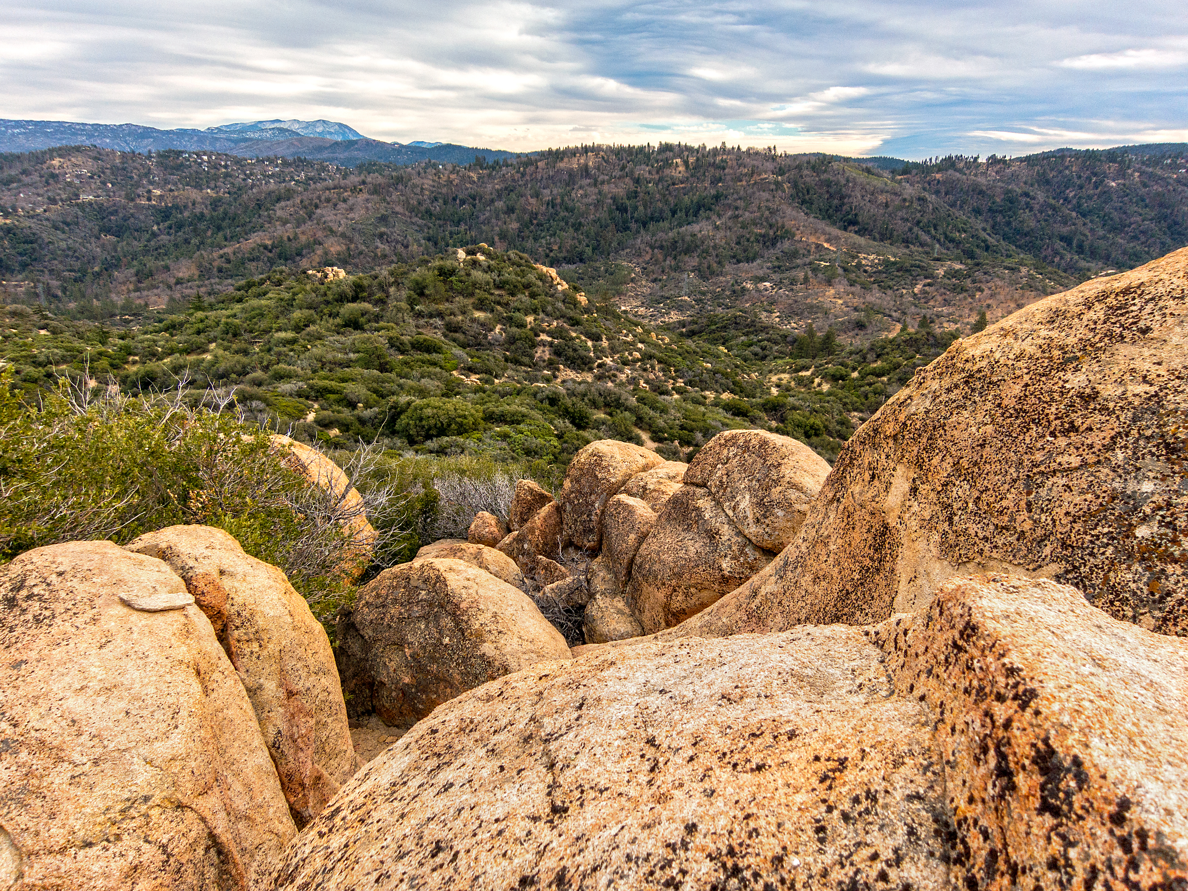
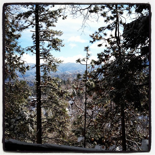
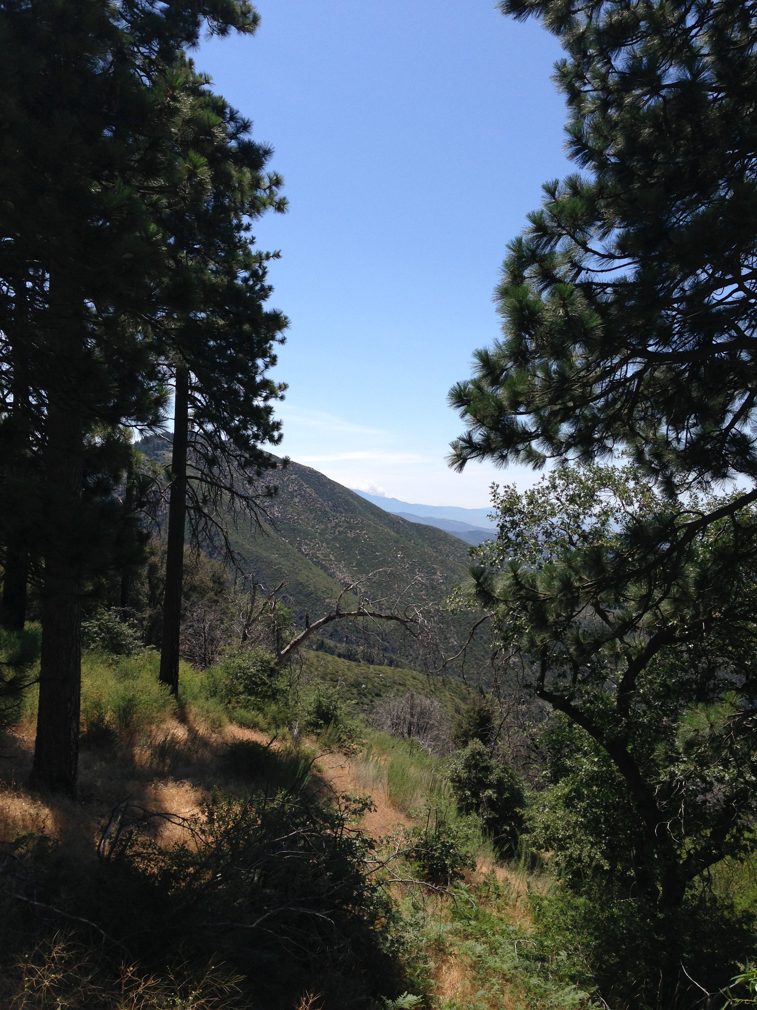
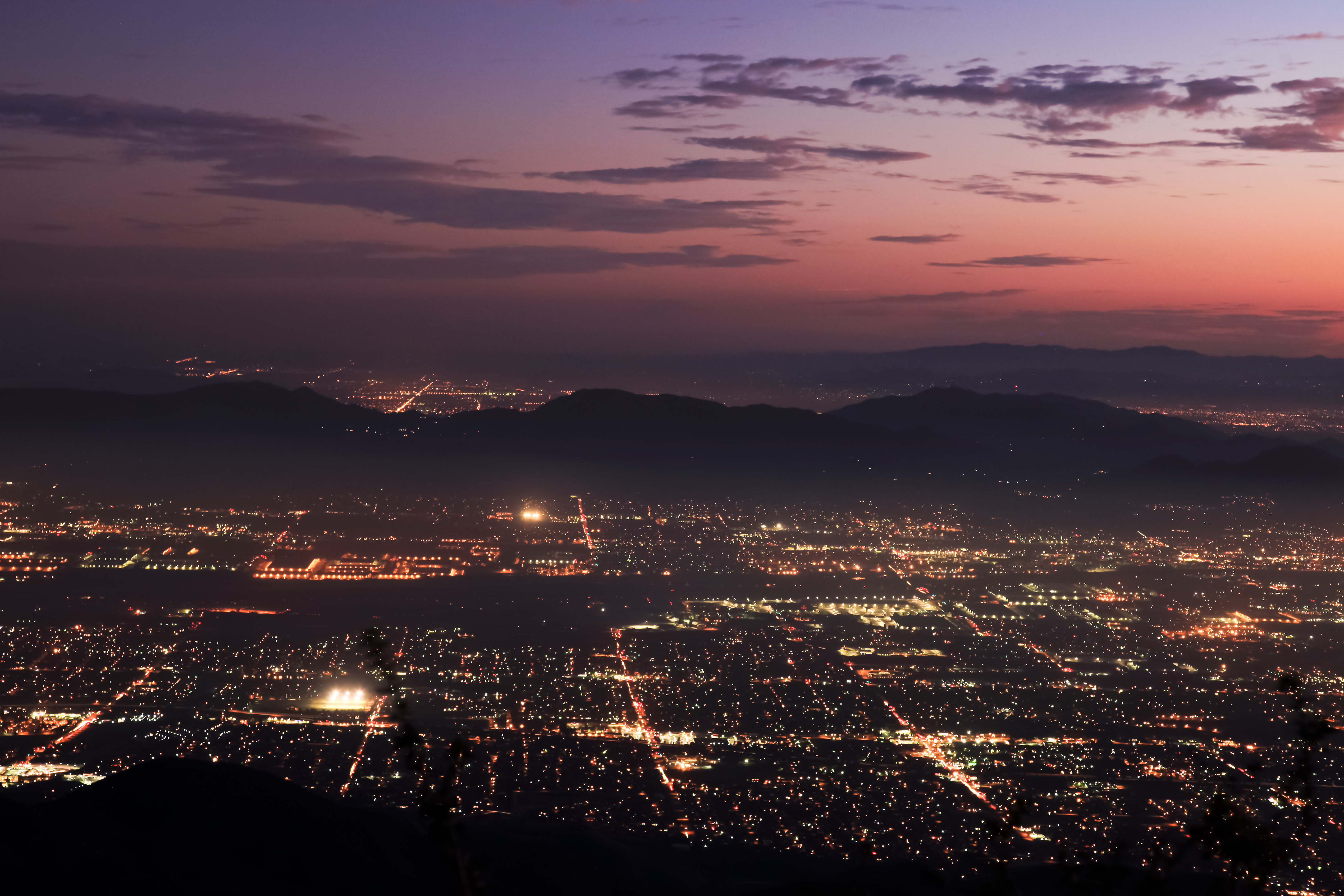
Related Photos:

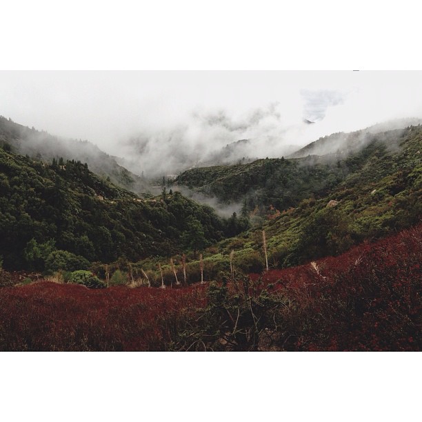
Turn of the Seasons

prcssd. combat camera. san bernardino, ca. 2011.
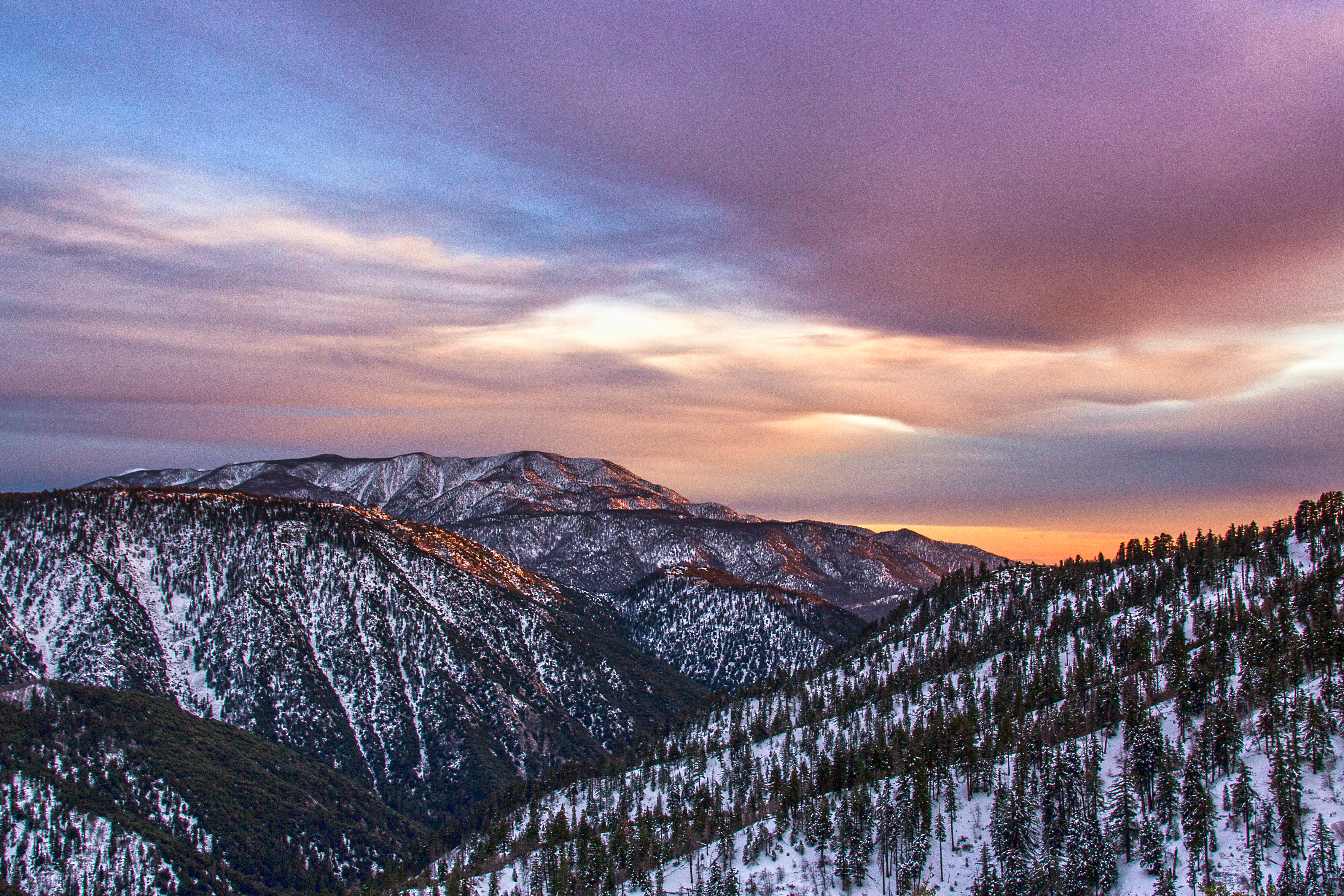
Winter Sky, San Bernardino Mountains [Explored]

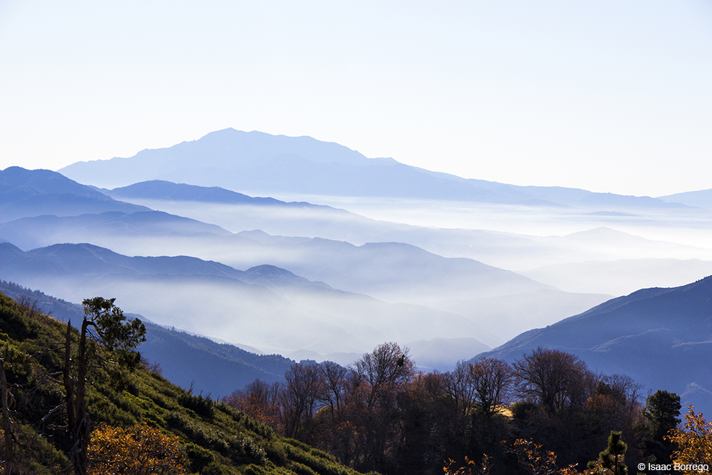
Above the Clouds

Islands in the Mist
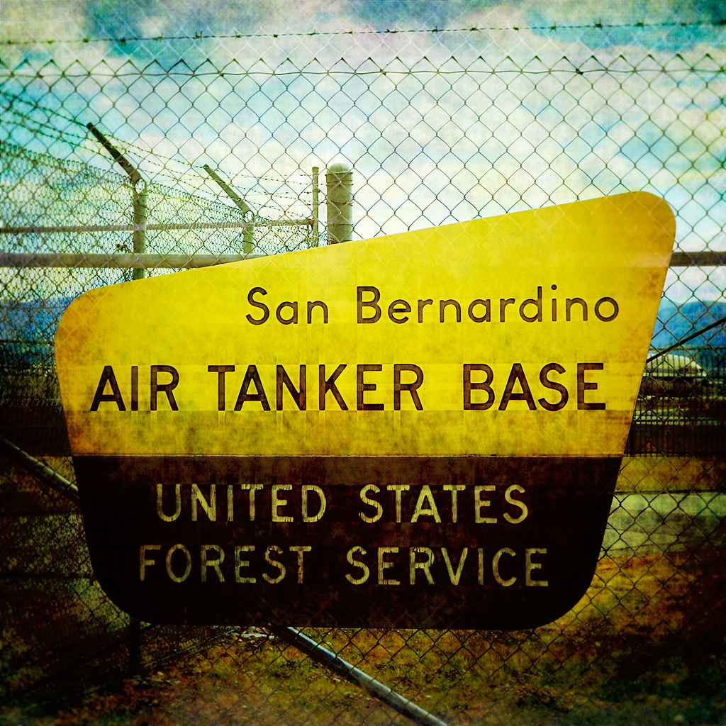
prcssd. air tanker base. san bernardino, ca. 2011.
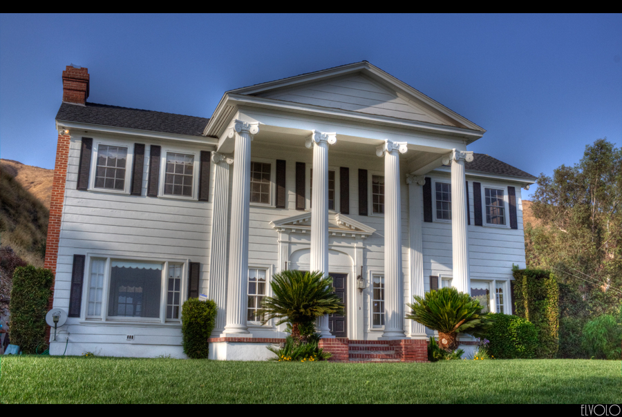
The White House (of San Bernardino)

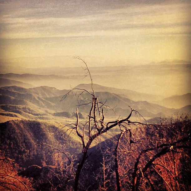
A View of Sugarloaf Mt
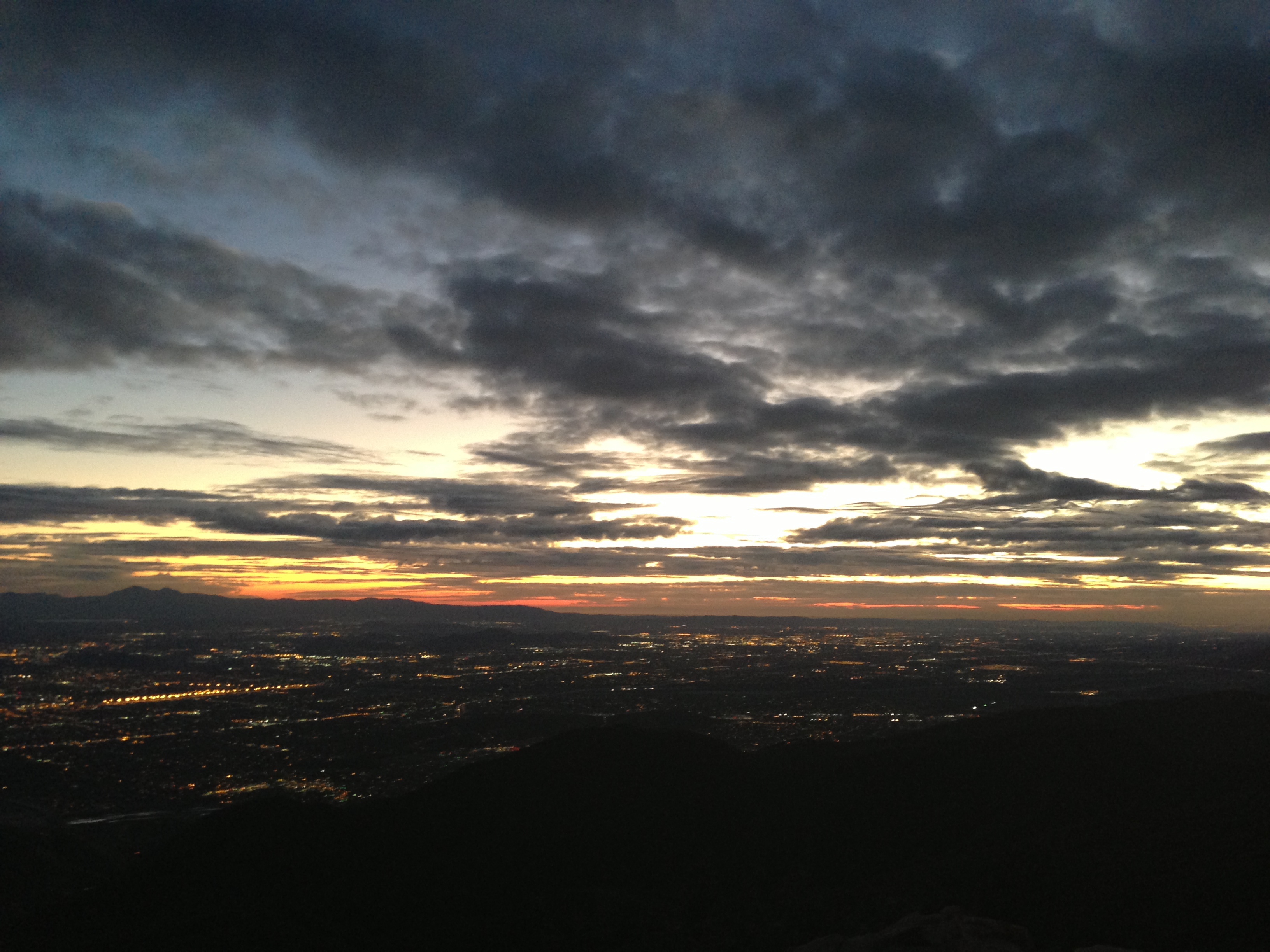
Nighttime, LA Basin

A Mixture of Fog and Clouds
South from Marie Louise

Thanksgiving Sunset HDR

View from a chairlift

air combat camera service. san bernardino, ca. 2011.
Morning #view #snow
Cal-3 024
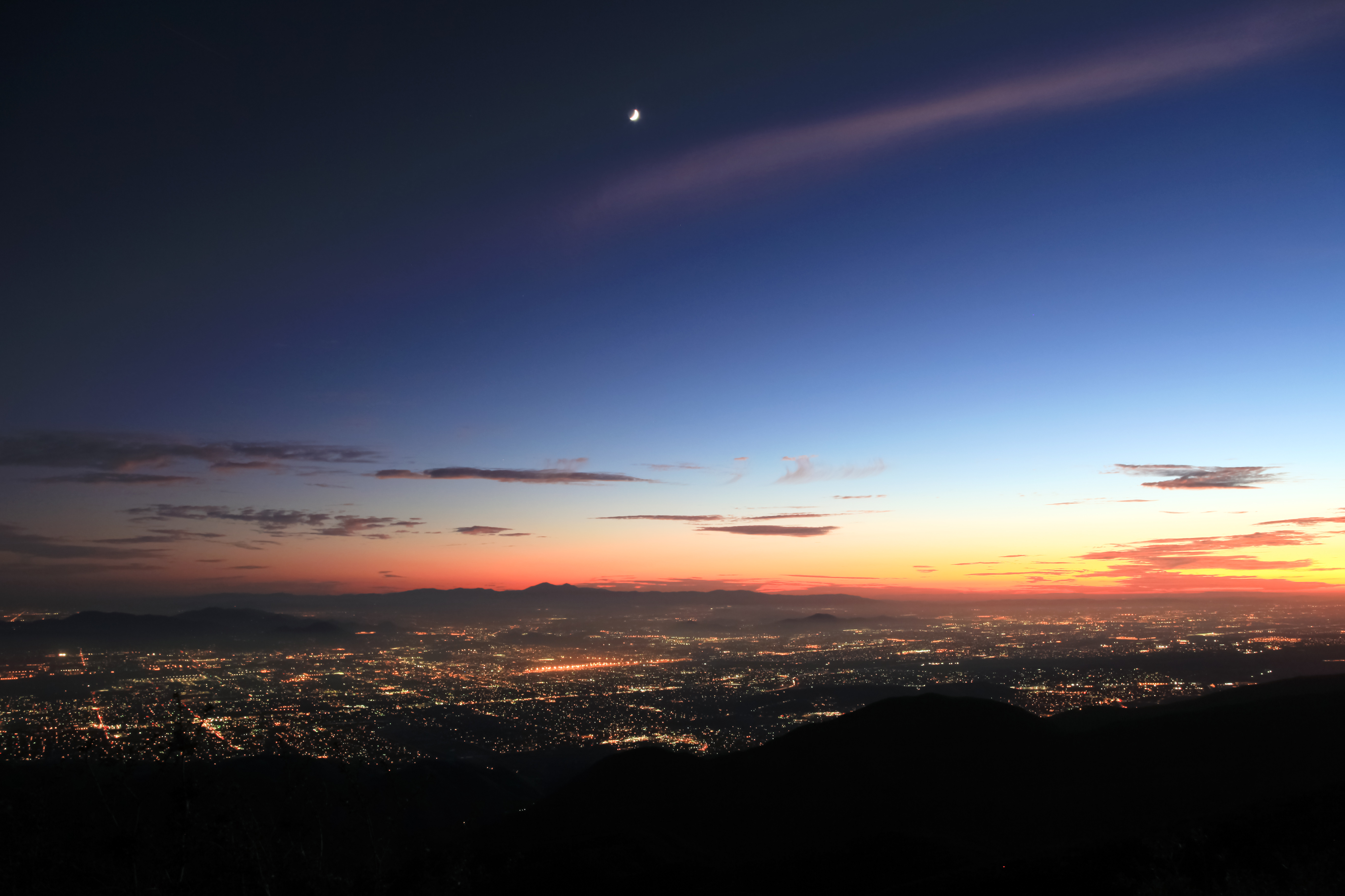
Nighttime over the Inland Empire
Green Topographic
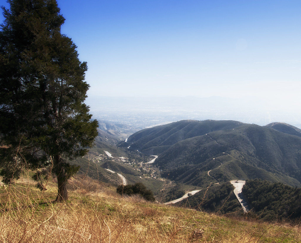
A View of the Mountain Road in Crestline, California
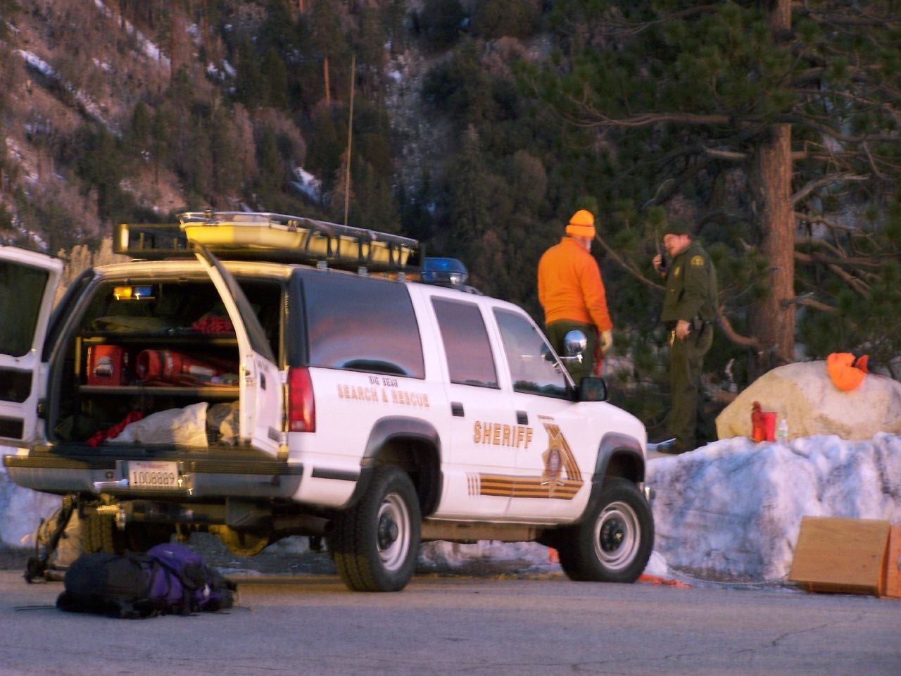
San Bernardino Sheriff, SBSD SAR Big Bear
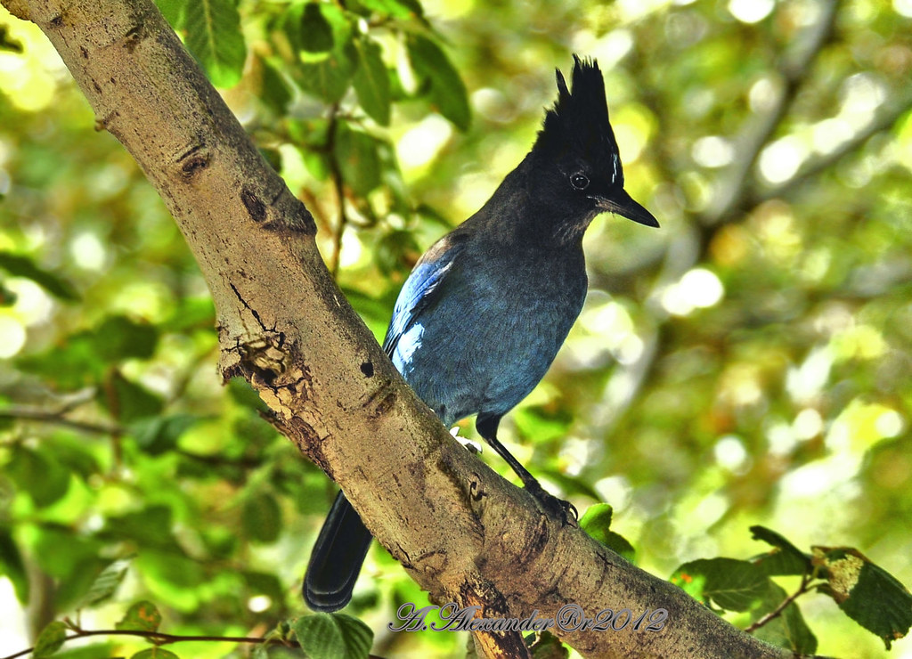
AXA_3660Style creek San Bernardino ca(Steller Jay)

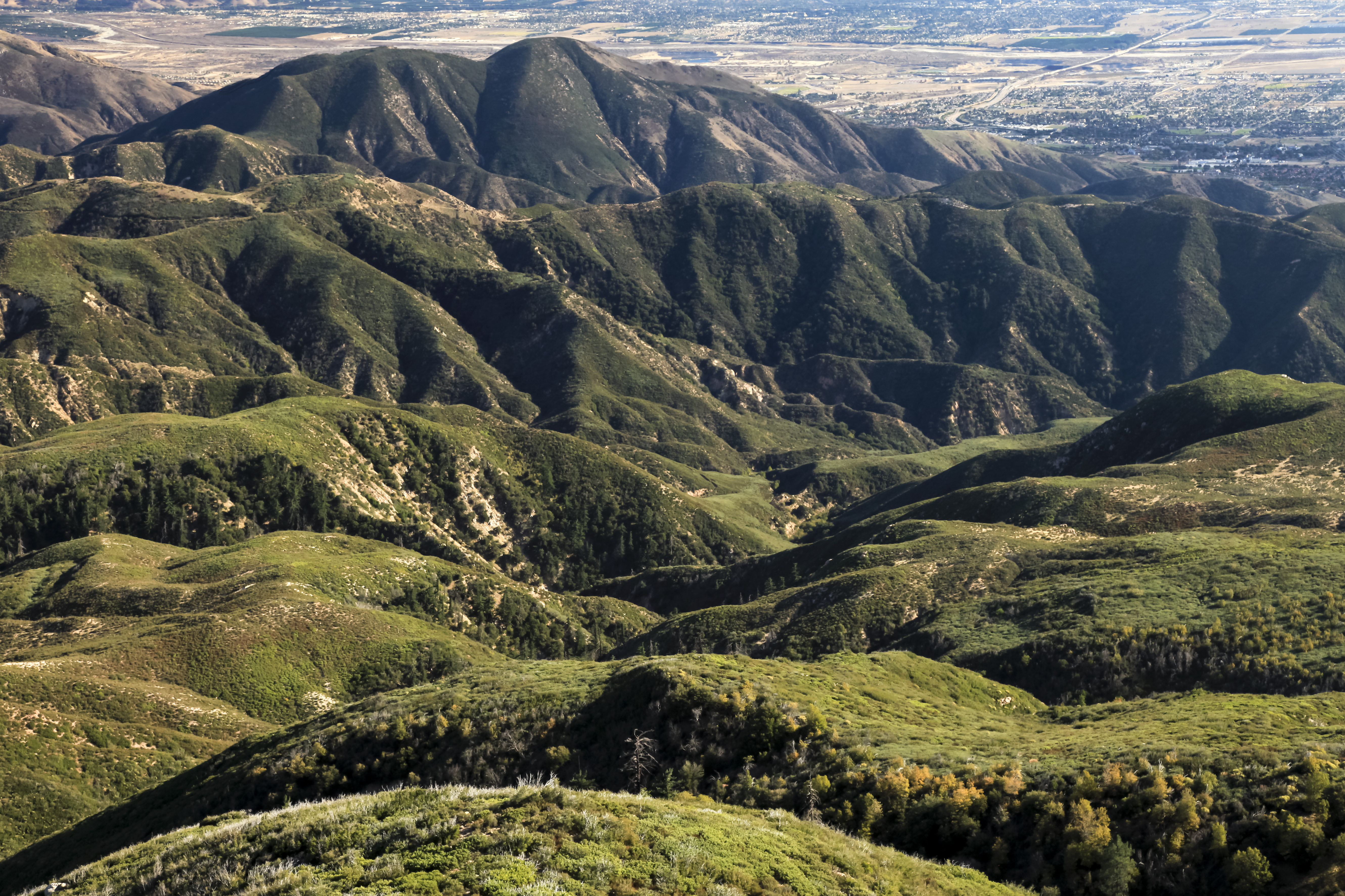
San Bernardino city and National Forest
Deep Creek, California
2074 Vista
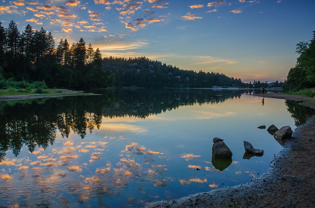
Lake Gregory Reflections

#GreenValleyLake
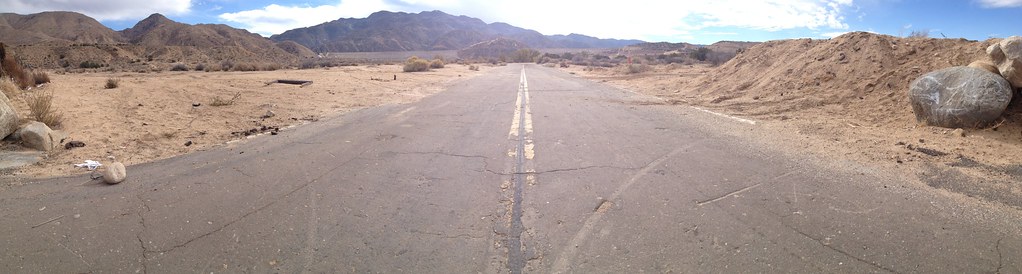
Deserted highway

Above it all

110-365 Fishing Reconnaissance
On the Rim of the World

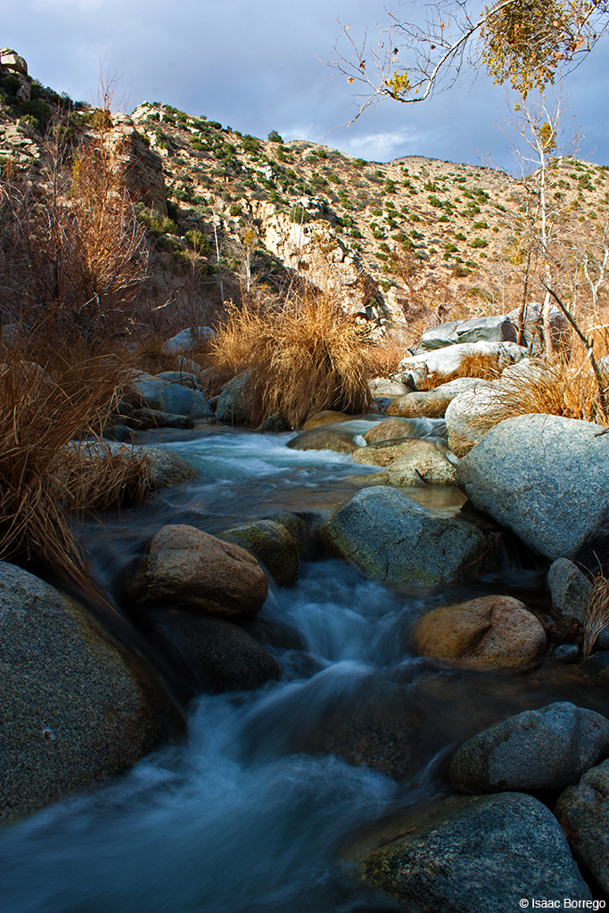
Mountain Creek
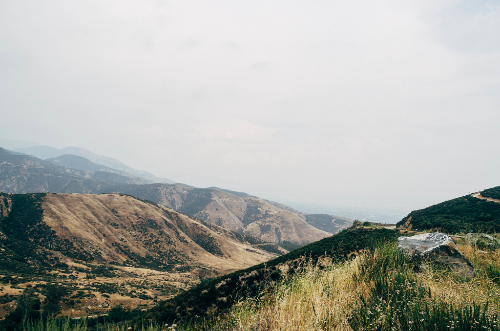
San Bernardino National Forest, California
"Just #go." #saturday #goodmorning #runningsprings

Blue lake. #LakeArrowhead

Snow at Lake Silverwood
dark city

#sanbernardinomountains #mountains #runningsprings #hwy18
Sundown with sundowners
Topographic Map of Lake Dr, Arrowhead Farms, CA, USA
Find elevation by address:

Places near Lake Dr, Arrowhead Farms, CA, USA:
775 Arrowhead Villa Rd
810 Oakmont Ln
28344 Altamont Ct
707 Virginia Ct
881 Arrowhead Villa Rd
785 Buckingham Square
785 Buckingham Square
Skyforest
Poe Court
Wabash Drive
CA-18, Skyforest, CA, USA
Klamath Drive
Mittry Drive
Lake Arrowhead
Lake Arrowhead Village
Crest Park
Shady Road
365 Terrace Rd
28913 Mohawk Dr
235 Burnt Mill Rd
Recent Searches:
- Elevation of Corso Fratelli Cairoli, 35, Macerata MC, Italy
- Elevation of Tallevast Rd, Sarasota, FL, USA
- Elevation of 4th St E, Sonoma, CA, USA
- Elevation of Black Hollow Rd, Pennsdale, PA, USA
- Elevation of Oakland Ave, Williamsport, PA, USA
- Elevation of Pedrógão Grande, Portugal
- Elevation of Klee Dr, Martinsburg, WV, USA
- Elevation of Via Roma, Pieranica CR, Italy
- Elevation of Tavkvetili Mountain, Georgia
- Elevation of Hartfords Bluff Cir, Mt Pleasant, SC, USA