Elevation map of Lake County, MN, USA
Location: United States > Minnesota >
Longitude: -91.4964639
Latitude: 47.5964304
Elevation: 562m / 1844feet
Barometric Pressure: 0KPa
Related Photos:
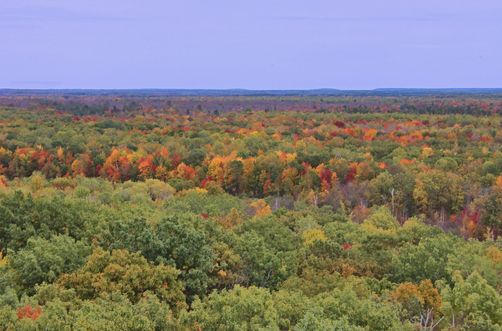
From The Fire Tower
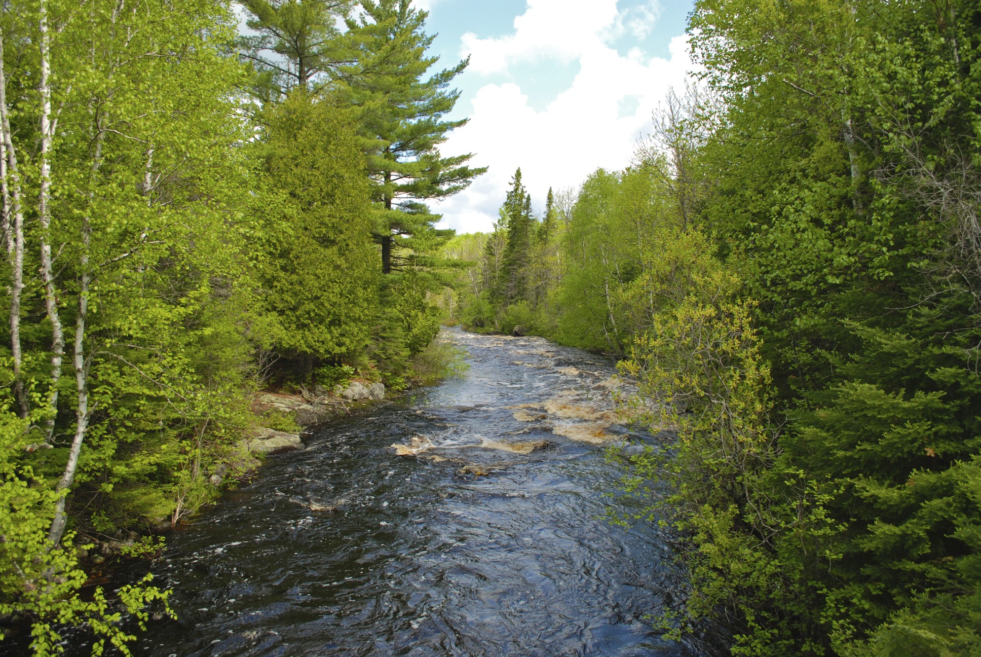
Stoney River

Morning frost
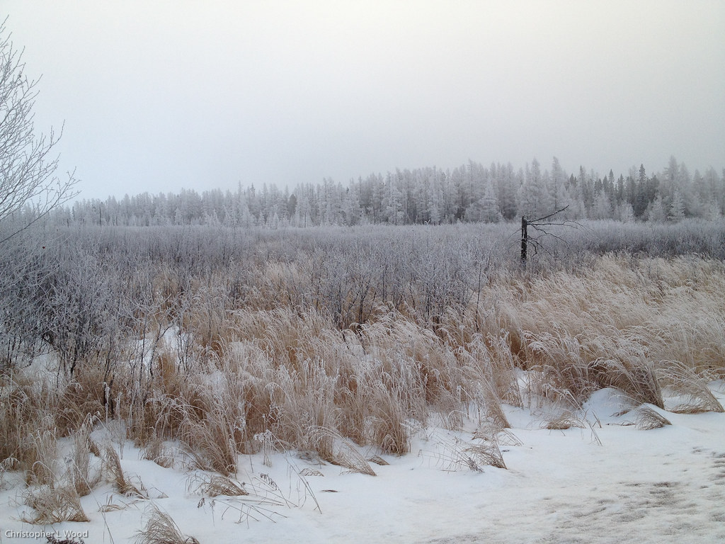
Morning frost

Silver-bordered Fritillary
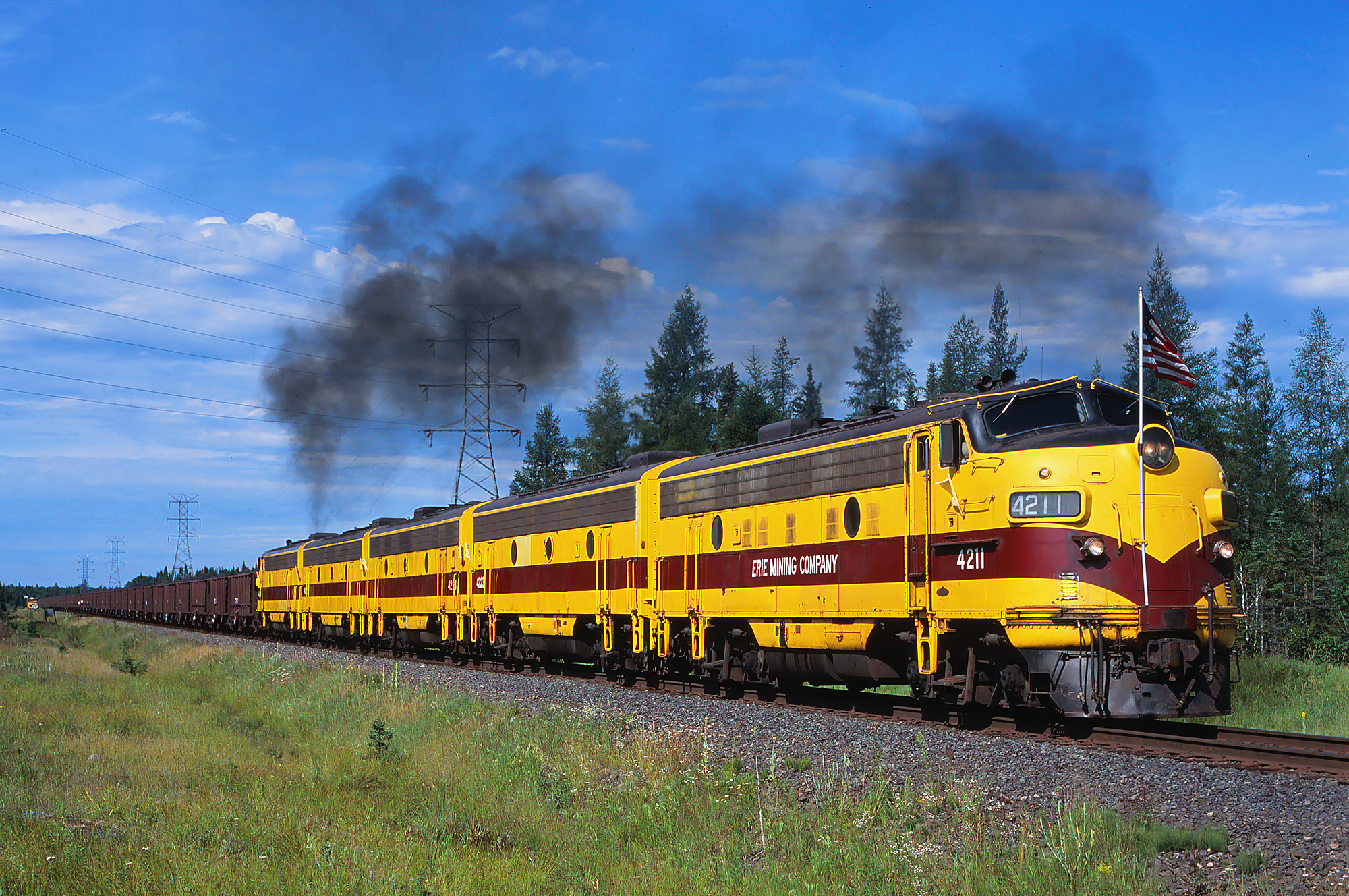
Last Run

Castor canadensis
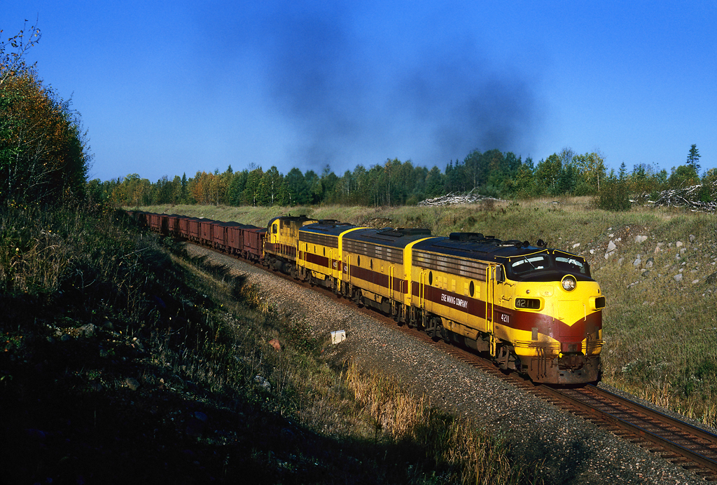
Eastbound at Sarto

Four-spotted Skimmer

American Lady

Ashy Clubtail

Chalk-fronted Corporal

Red Fox

Red Fox

Red Fox

Red Fox
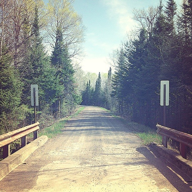
The bridge #woodcamera

Spruce Grouse

Flashback to a tree

Red Fox and Kit

Red Fox and Kit At Den
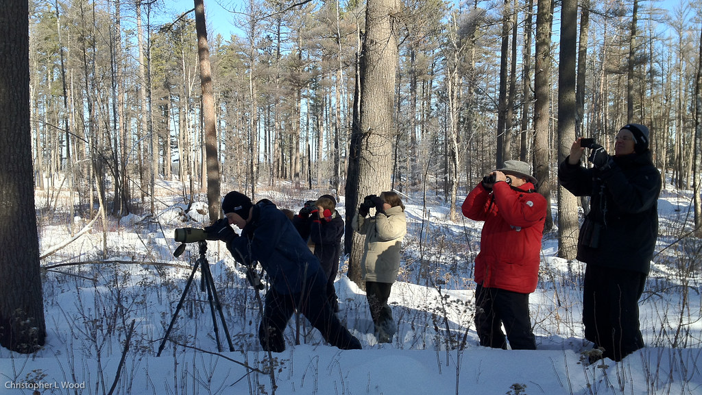
Watching Black-backed Woodpecker
Topographic Map of Lake County, MN, USA
Find elevation by address:

Places in Lake County, MN, USA:
Silver Creek Township
Silver Bay
Stony River Township
Lake No. 1
Crystal Bay Township
Fall Lake Township
Beaver Bay
Lake No. 2
Two Harbors
Scenic Dr, Two Harbors, MN, USA
Places near Lake County, MN, USA:
Lake Superior
Stony River Township
Lake No. 2
Silver Creek Township
Bassett Township
4598 Mcalpine Spur
Two Harbors, MN, USA
3206 Mn-61
Fairbanks Rd, Brimson, MN, USA
Babbitt
Dogwood Road
Town Line Rd, Brimson, MN, USA
Brimson
Brimson Rd, Brimson, MN, USA
Co Hwy 3, Two Harbors, MN, USA
2586 County Hwy 2
Fairbanks Township
Forest Road c, Hoyt Lakes, MN, USA
2027 Co Hwy 3
Ault Township
Recent Searches:
- Elevation of Pasing, Munich, Bavaria, 81241, Germany
- Elevation of 24, Auburn Bay Crescent SE, Auburn Bay, Calgary, Alberta, T3M 0A6, Canada
- Elevation of Denver, 2314, Arapahoe Street, Five Points, Denver, Colorado, 80205, USA
- Elevation of Community of the Beatitudes, 2924, West 43rd Avenue, Sunnyside, Denver, Colorado, 80211, USA
- Elevation map of Litang County, Sichuan, China
- Elevation map of Madoi County, Qinghai, China
- Elevation of 3314, Ohio State Route 114, Payne, Paulding County, Ohio, 45880, USA
- Elevation of Sarahills Drive, Saratoga, Santa Clara County, California, 95070, USA
- Elevation of Town of Bombay, Franklin County, New York, USA
- Elevation of 9, Convent Lane, Center Moriches, Suffolk County, New York, 11934, USA
- Elevation of Saint Angelas Convent, 9, Convent Lane, Center Moriches, Suffolk County, New York, 11934, USA
- Elevation of 131st Street Southwest, Mukilteo, Snohomish County, Washington, 98275, USA
- Elevation of 304, Harrison Road, Naples, Cumberland County, Maine, 04055, USA
- Elevation of 2362, Timber Ridge Road, Harrisburg, Cabarrus County, North Carolina, 28075, USA
- Elevation of Ridge Road, Marshalltown, Marshall County, Iowa, 50158, USA
- Elevation of 2459, Misty Shadows Drive, Pigeon Forge, Sevier County, Tennessee, 37862, USA
- Elevation of 8043, Brightwater Way, Spring Hill, Williamson County, Tennessee, 37179, USA
- Elevation of Starkweather Road, San Luis, Costilla County, Colorado, 81152, USA
- Elevation of 5277, Woodside Drive, Baton Rouge, East Baton Rouge Parish, Louisiana, 70808, USA
- Elevation of 1139, Curtin Street, Shepherd Park Plaza, Houston, Harris County, Texas, 77018, USA