Elevation map of Lahaul And Spiti, Himachal Pradesh, India
Location: India > Himachal Pradesh >
Longitude: 77.3783789
Latitude: 32.6192107
Elevation: 5243m / 17201feet
Barometric Pressure: 52KPa
Elevation Map:
Satellite Map:
Related Photos:
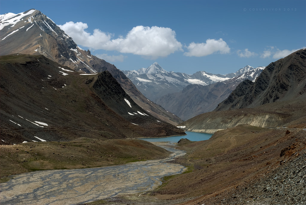
Glacial Waters...from above!
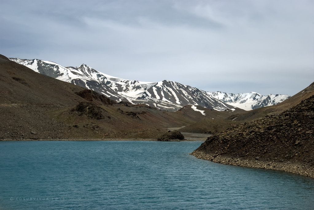
Glacial Waters

Suraj/Vishaal taal lake, Leh-Manali Highway, Himachal Pradesh, India

Local bus on the Leh-Manali Highway, Himachal Pradesh, India

Trucks on the Leh-Manali Highway, Himachal Pradesh, India
Topographic Map of Lahaul And Spiti, Himachal Pradesh, India
Find elevation by address:

Places in Lahaul And Spiti, Himachal Pradesh, India:
Dhar Thango
Darcha
Kaza
Jispa
Spiti Valley
Kunzum Pass
Hampta
Tabo
Chandra Taal
Komic
Udaipur
Kibber
Sangnam
Places near Lahaul And Spiti, Himachal Pradesh, India:
Sour Tal
Chandra Taal
Kunzum Pass
Leh Manali Highway
Pang
More Plains
Sangtha
Tso Kar
Karzok
Debring
Taglang La
Tso Moriri
Polokongka La
Chumathang
Leh
Nyoma Gompa
Recent Searches:
- Elevation of Corso Fratelli Cairoli, 35, Macerata MC, Italy
- Elevation of Tallevast Rd, Sarasota, FL, USA
- Elevation of 4th St E, Sonoma, CA, USA
- Elevation of Black Hollow Rd, Pennsdale, PA, USA
- Elevation of Oakland Ave, Williamsport, PA, USA
- Elevation of Pedrógão Grande, Portugal
- Elevation of Klee Dr, Martinsburg, WV, USA
- Elevation of Via Roma, Pieranica CR, Italy
- Elevation of Tavkvetili Mountain, Georgia
- Elevation of Hartfords Bluff Cir, Mt Pleasant, SC, USA