Elevation of Darcha, Himachal Pradesh, India
Location: India > Himachal Pradesh > Lahaul And Spiti >
Longitude: 77.195007
Latitude: 32.677979
Elevation: 3572m / 11719feet
Barometric Pressure: 65KPa
Elevation Map:
Satellite Map:
Related Photos:
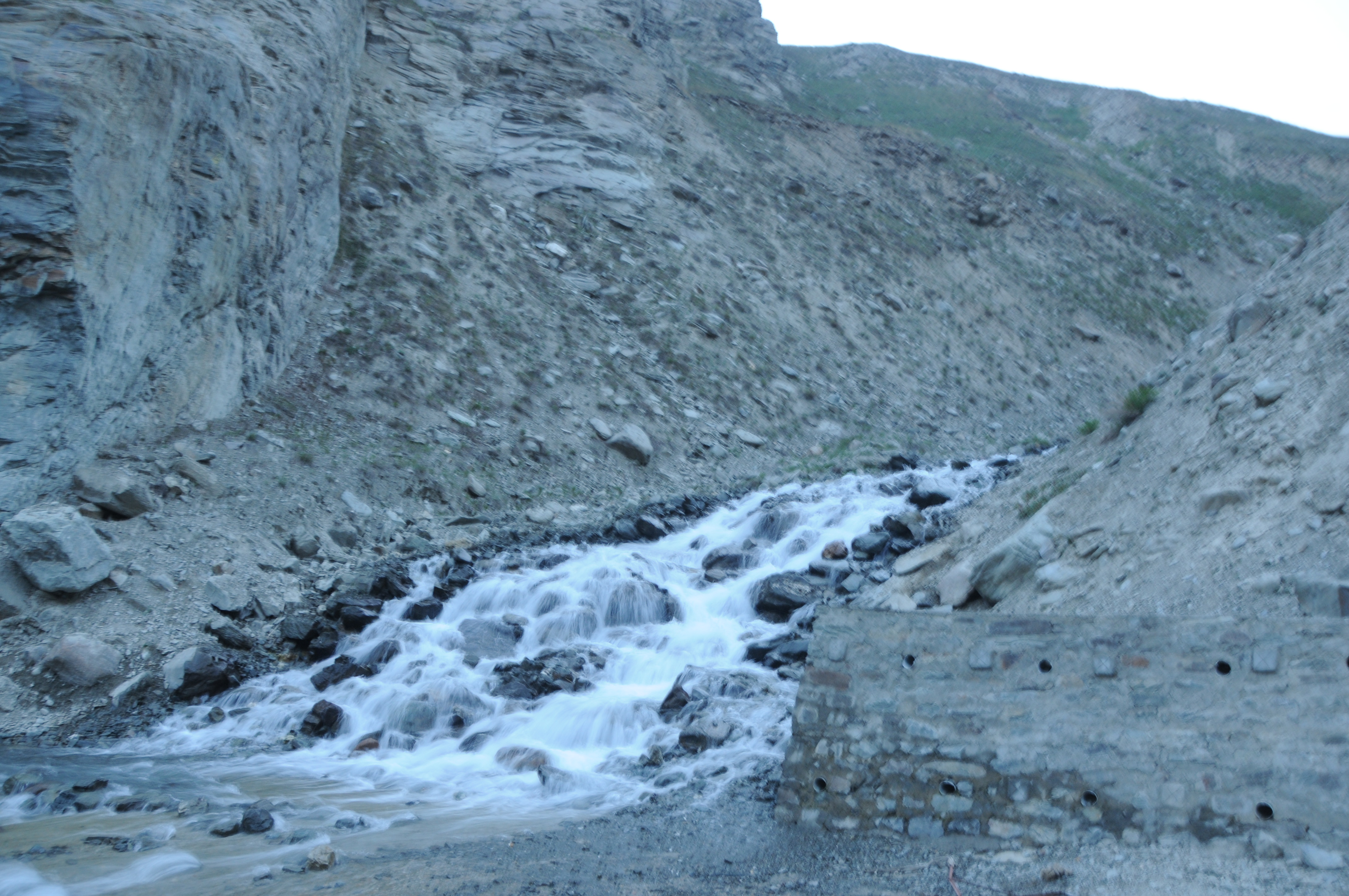
CSP_1950.JPG
CSP_1952.JPG
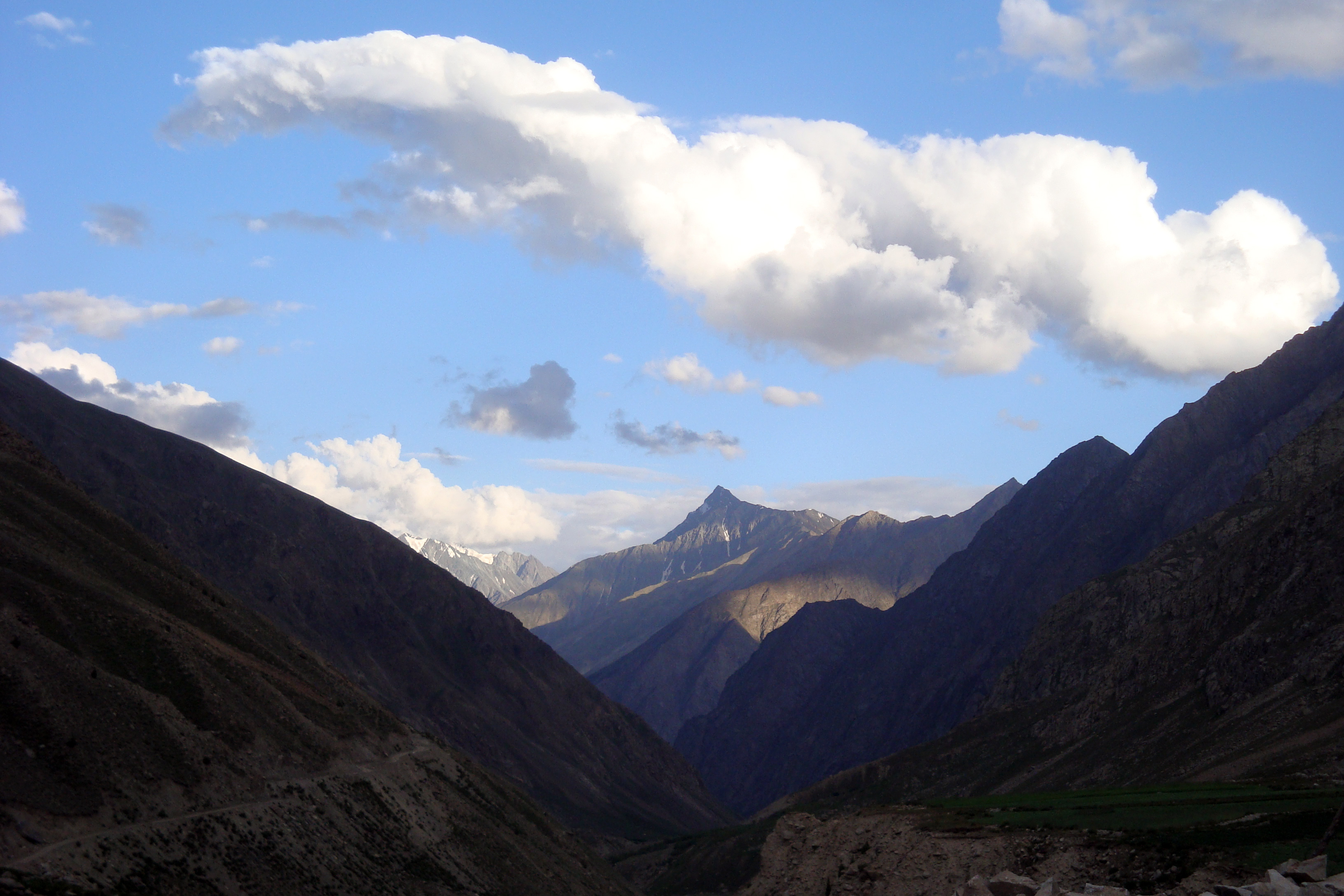
Last view of the Himalayas on our Zanskar trek
Topographic Map of Darcha, Himachal Pradesh, India
Find elevation by address:

Places near Darcha, Himachal Pradesh, India:
Jispa
Doodh Kaasi Lake
Atal Tunnel
Rohtang La
Rohtang Pass
Rohtang Pass View Point
Patalsu Peak
Marhi
Burwa
Udaipur
Banni
Gahar Dunei
Sach Pass 4390m
Chamba
Chamba
Masrund
Dhauladhar
Khajjiar
Kalatop
Dalhousie
Recent Searches:
- Elevation of Corso Fratelli Cairoli, 35, Macerata MC, Italy
- Elevation of Tallevast Rd, Sarasota, FL, USA
- Elevation of 4th St E, Sonoma, CA, USA
- Elevation of Black Hollow Rd, Pennsdale, PA, USA
- Elevation of Oakland Ave, Williamsport, PA, USA
- Elevation of Pedrógão Grande, Portugal
- Elevation of Klee Dr, Martinsburg, WV, USA
- Elevation of Via Roma, Pieranica CR, Italy
- Elevation of Tavkvetili Mountain, Georgia
- Elevation of Hartfords Bluff Cir, Mt Pleasant, SC, USA