Elevation of Sangtha
Location: Leh >
Longitude: 77.7058598
Latitude: 33.3168183
Elevation: 4404m / 14449feet
Barometric Pressure: 58KPa
Elevation Map:
Satellite Map:
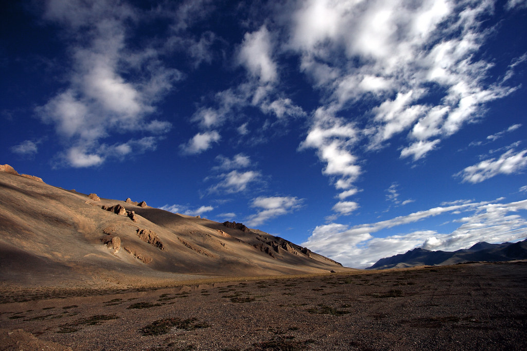
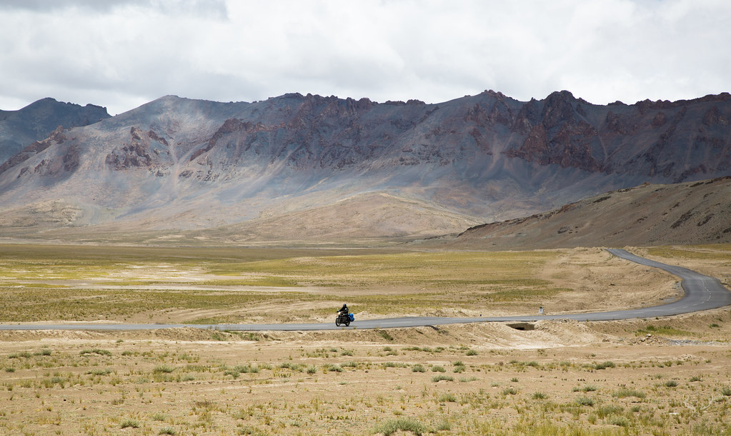
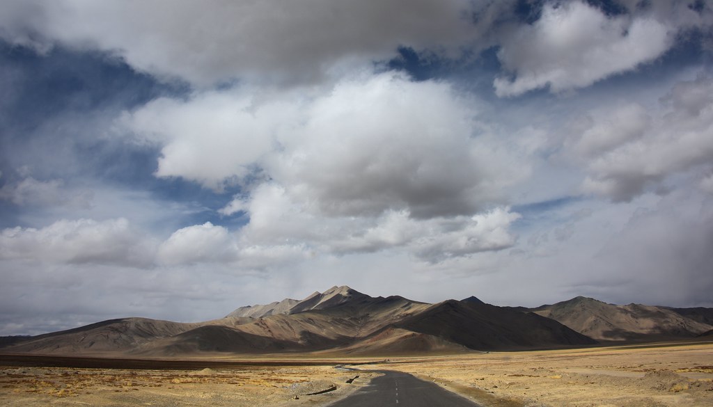
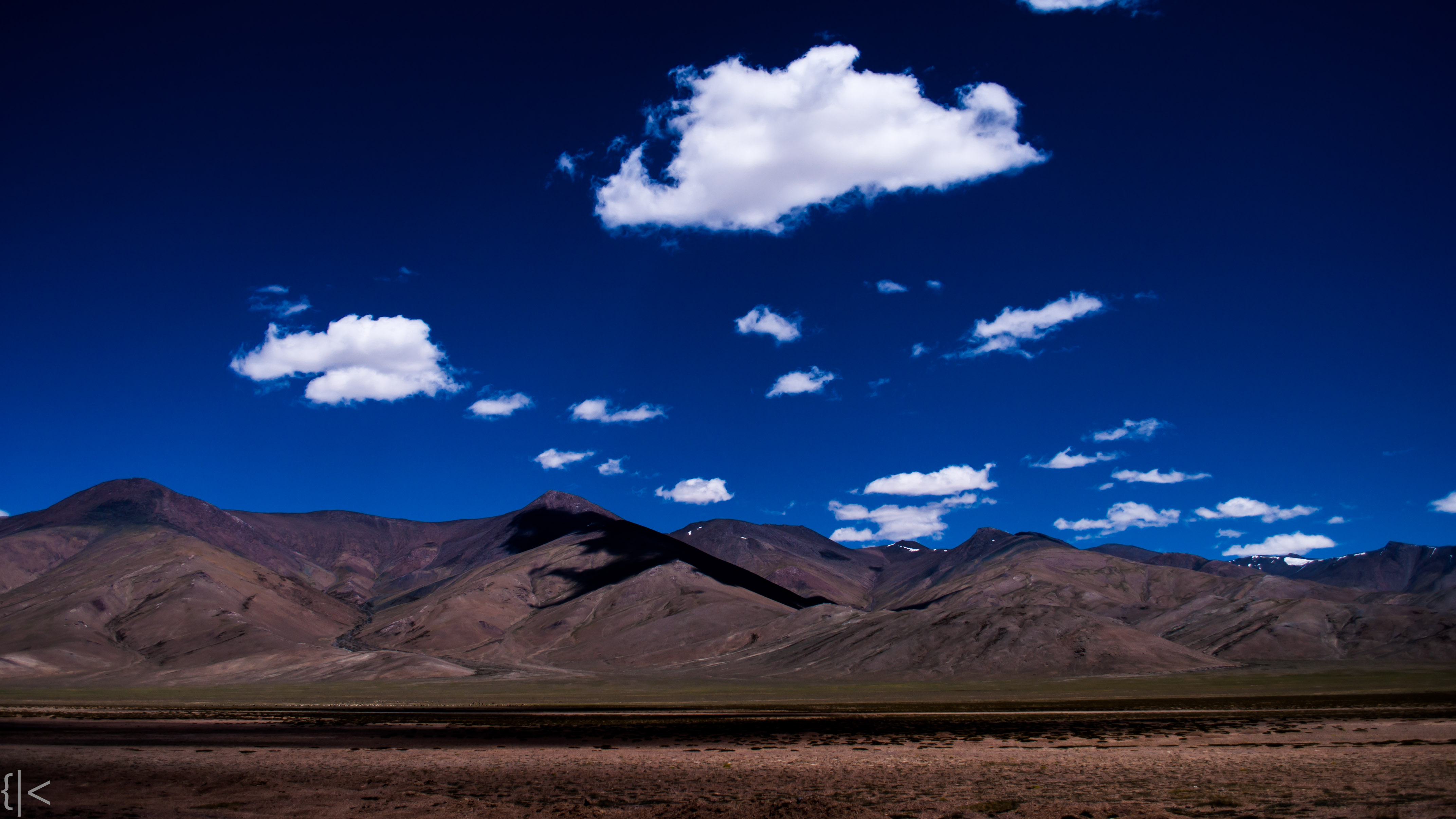
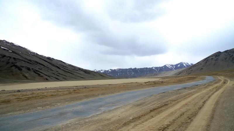
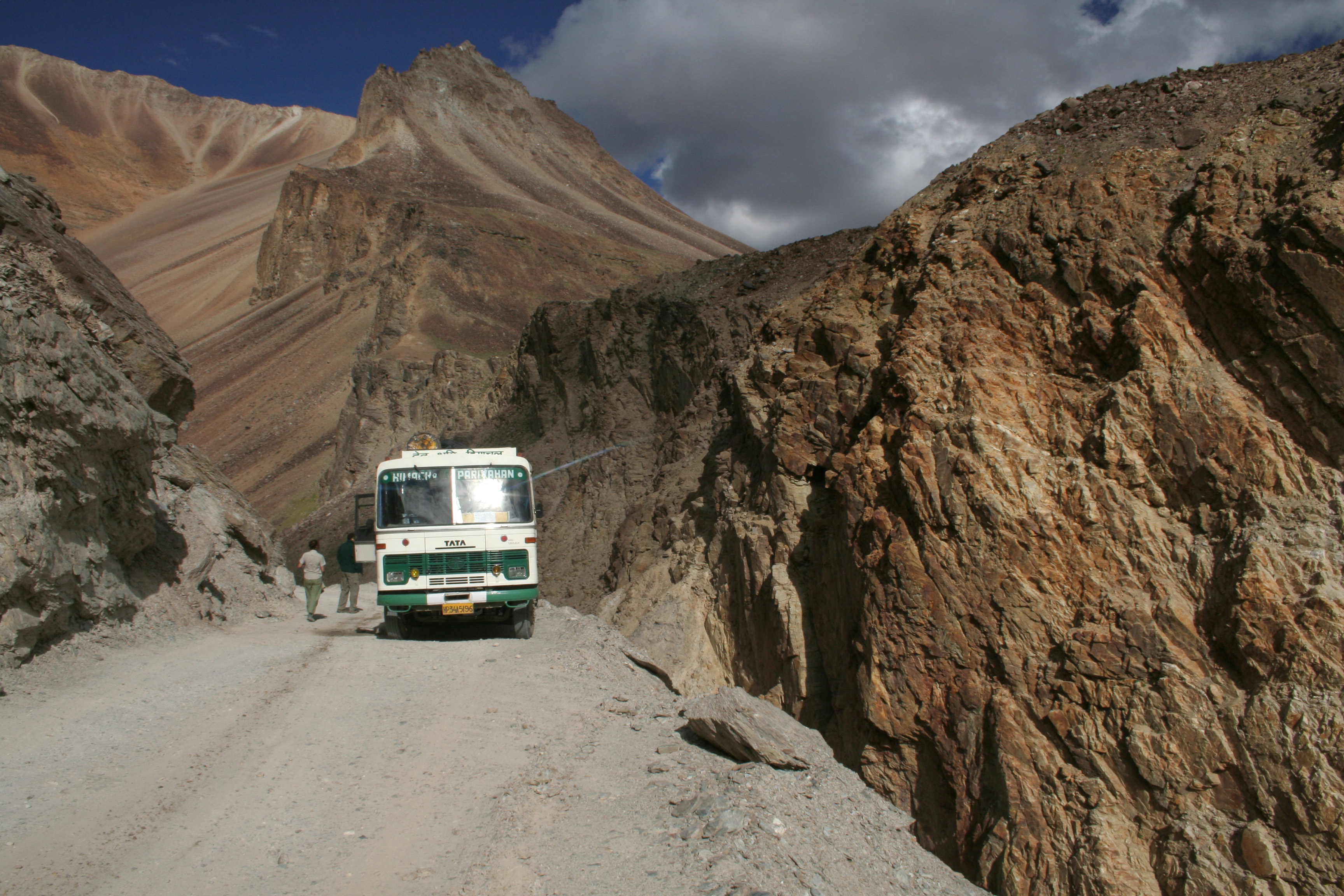
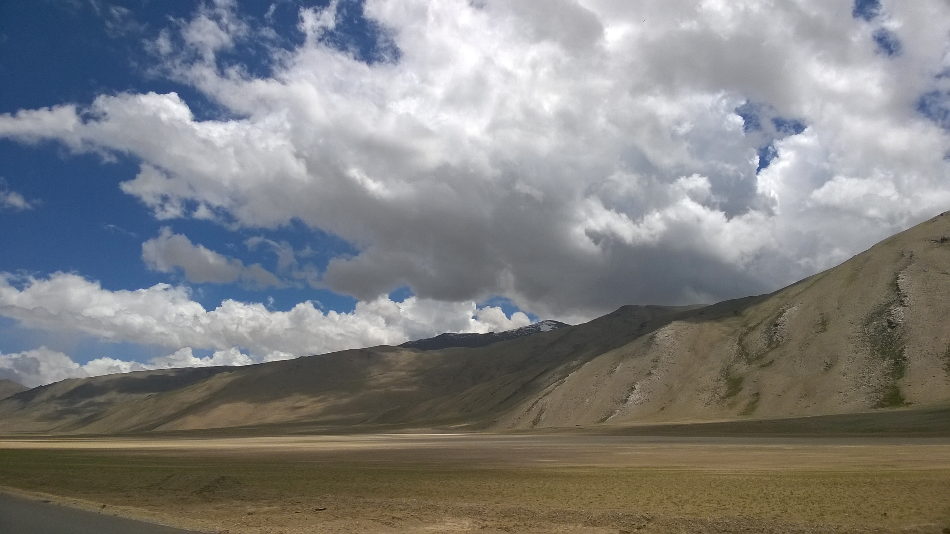
Related Photos:

Zara Chu trekking

Break Time
Surreal Moonscape

Morey Plains
Ride to the top of the world
Landscape before reaching Tso Kar, India 2016
More Plains
Morey Plains
Cesta do Keylongu

P8085920.jpg

Highway to Keylongu
Day 6: Morey Plains
Topographic Map of Sangtha
Find elevation by address:

Places near Sangtha:
More Plains
Debring
Taglang La
Pang
Leh Manali Highway
Tso Kar
Polokongka La
Chumathang
Leh
Karzok
Tso Moriri
Lahaul And Spiti
Sour Tal
Chandra Taal
Kunzum Pass
Nyoma Gompa
Recent Searches:
- Elevation of Corso Fratelli Cairoli, 35, Macerata MC, Italy
- Elevation of Tallevast Rd, Sarasota, FL, USA
- Elevation of 4th St E, Sonoma, CA, USA
- Elevation of Black Hollow Rd, Pennsdale, PA, USA
- Elevation of Oakland Ave, Williamsport, PA, USA
- Elevation of Pedrógão Grande, Portugal
- Elevation of Klee Dr, Martinsburg, WV, USA
- Elevation of Via Roma, Pieranica CR, Italy
- Elevation of Tavkvetili Mountain, Georgia
- Elevation of Hartfords Bluff Cir, Mt Pleasant, SC, USA