Elevation of Lagro Township, IN, USA
Location: United States > Indiana > Wabash County >
Longitude: -85.705111
Latitude: 40.8183556
Elevation: 233m / 764feet
Barometric Pressure: 99KPa
Elevation Map:
Satellite Map:
Related Photos:

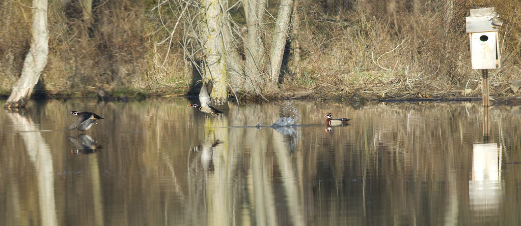
A Rare Moment
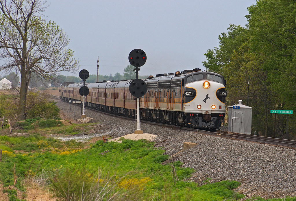
OCS - CP54 Speicherville
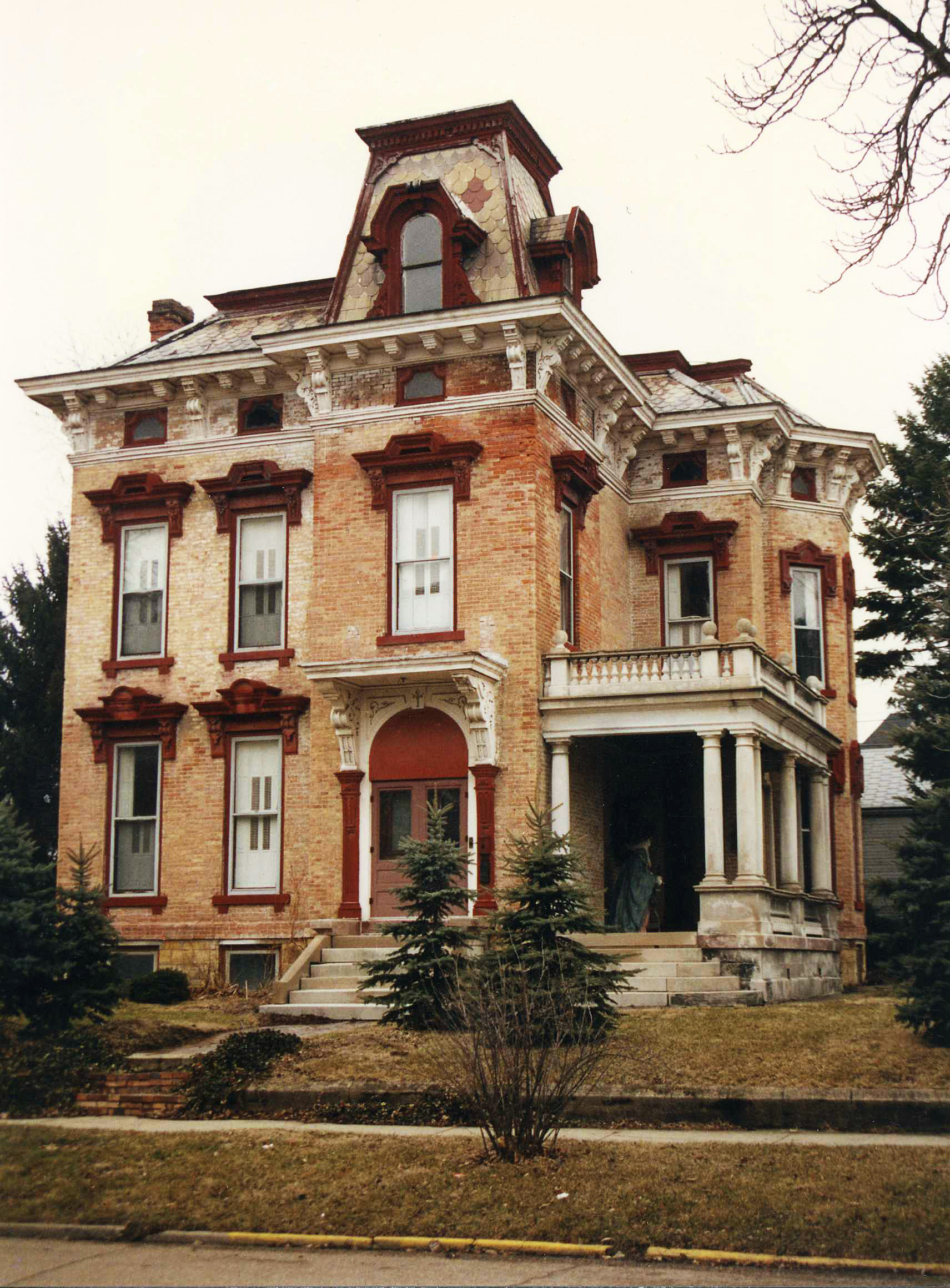
McNamee-Eilts house, Wabash, IN
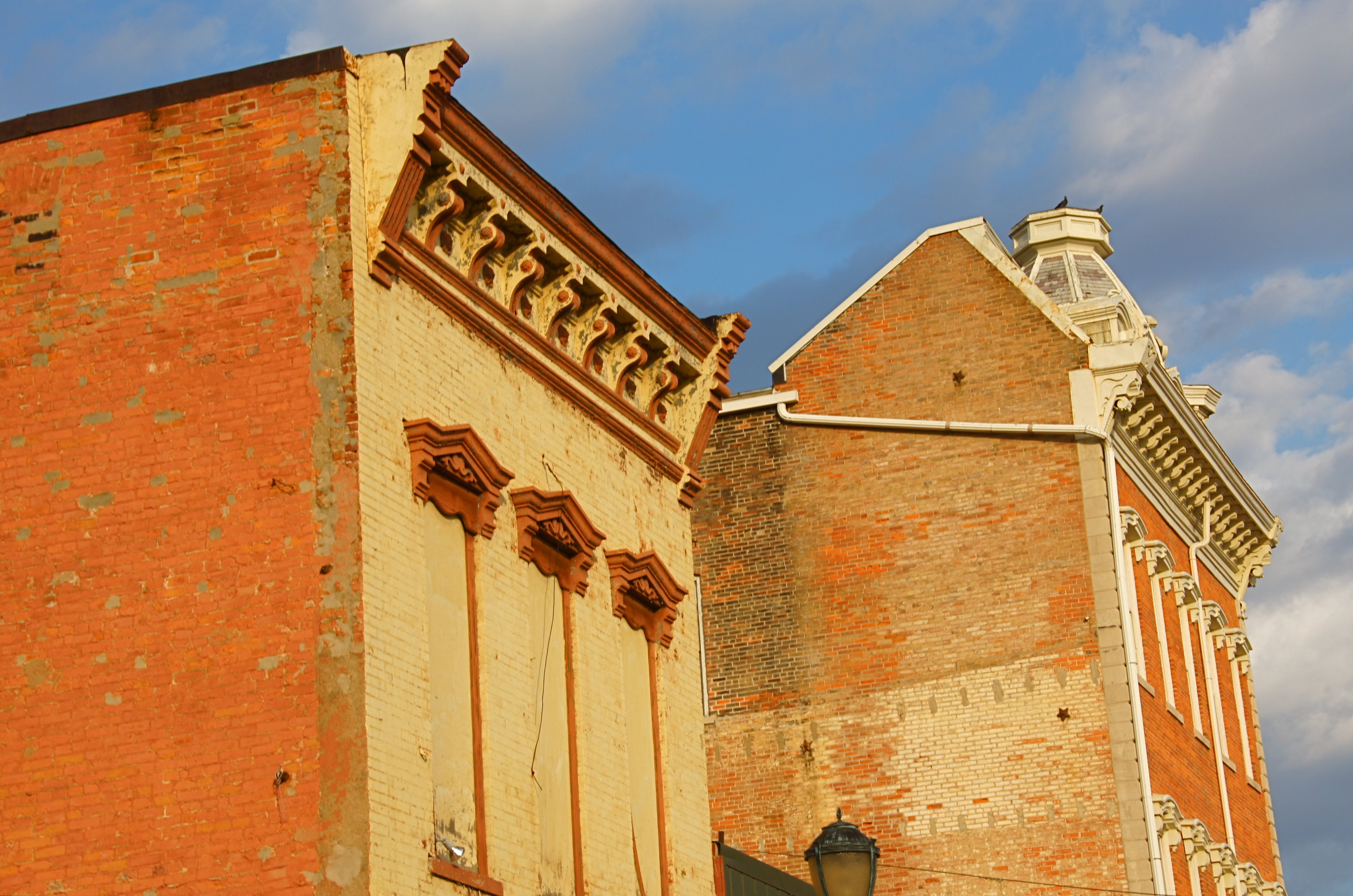
Wabash, IN Architecture

ANTIQUES, Wabash, IN

Perhaps a young Eagle?

Blue Yonder
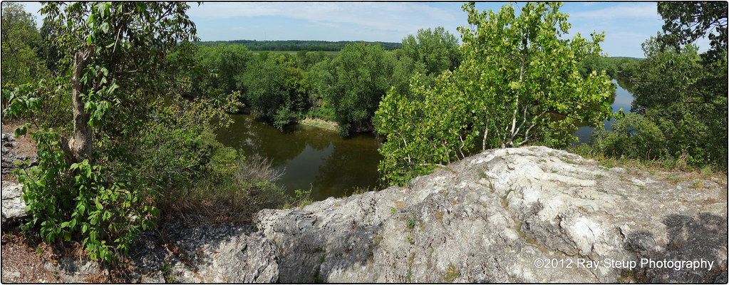
The view from Hanging Rock - Wabash County Indiana
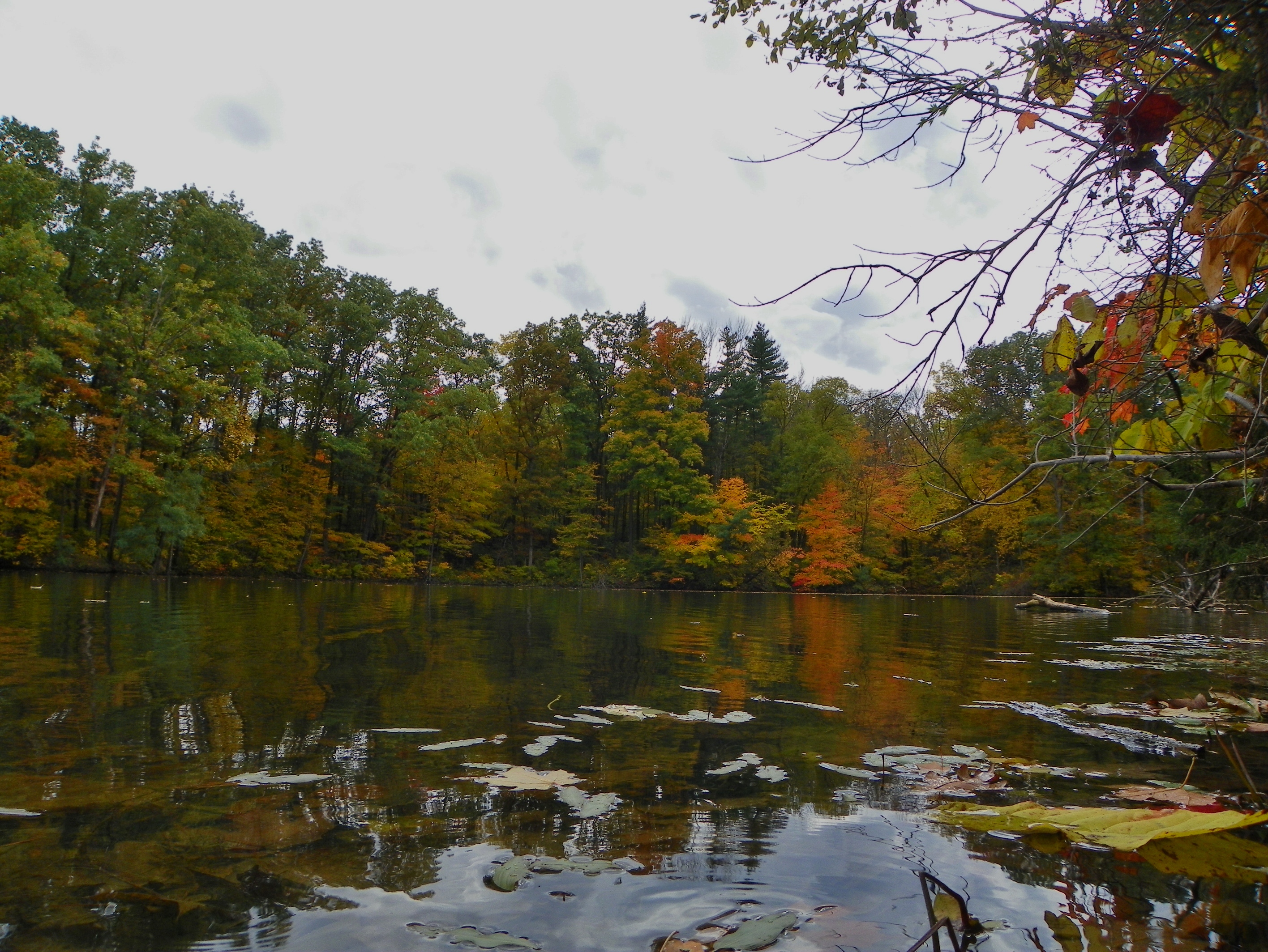
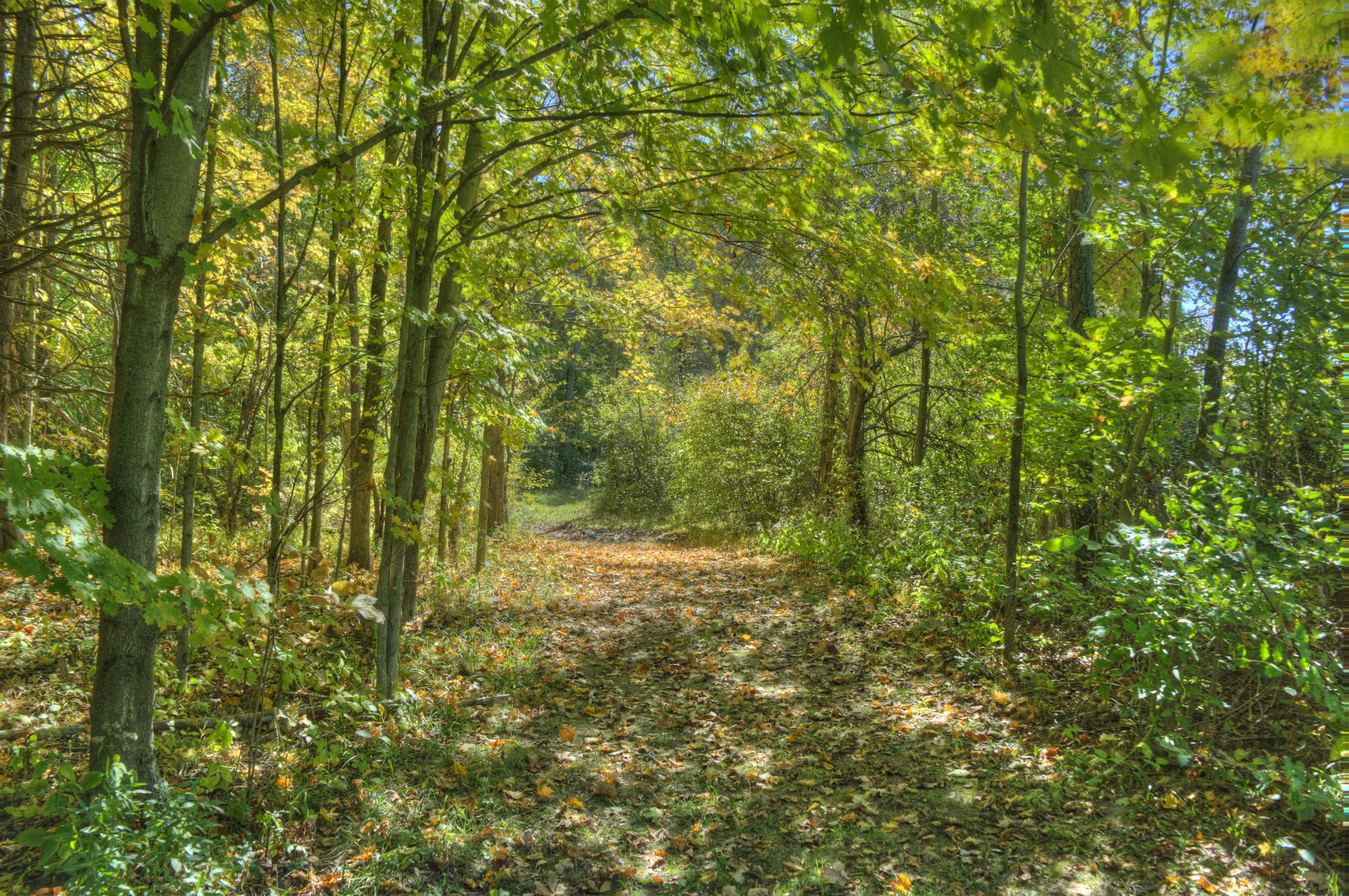
October at Hathaway Preserve

With Malice Toward None, With Charity For All
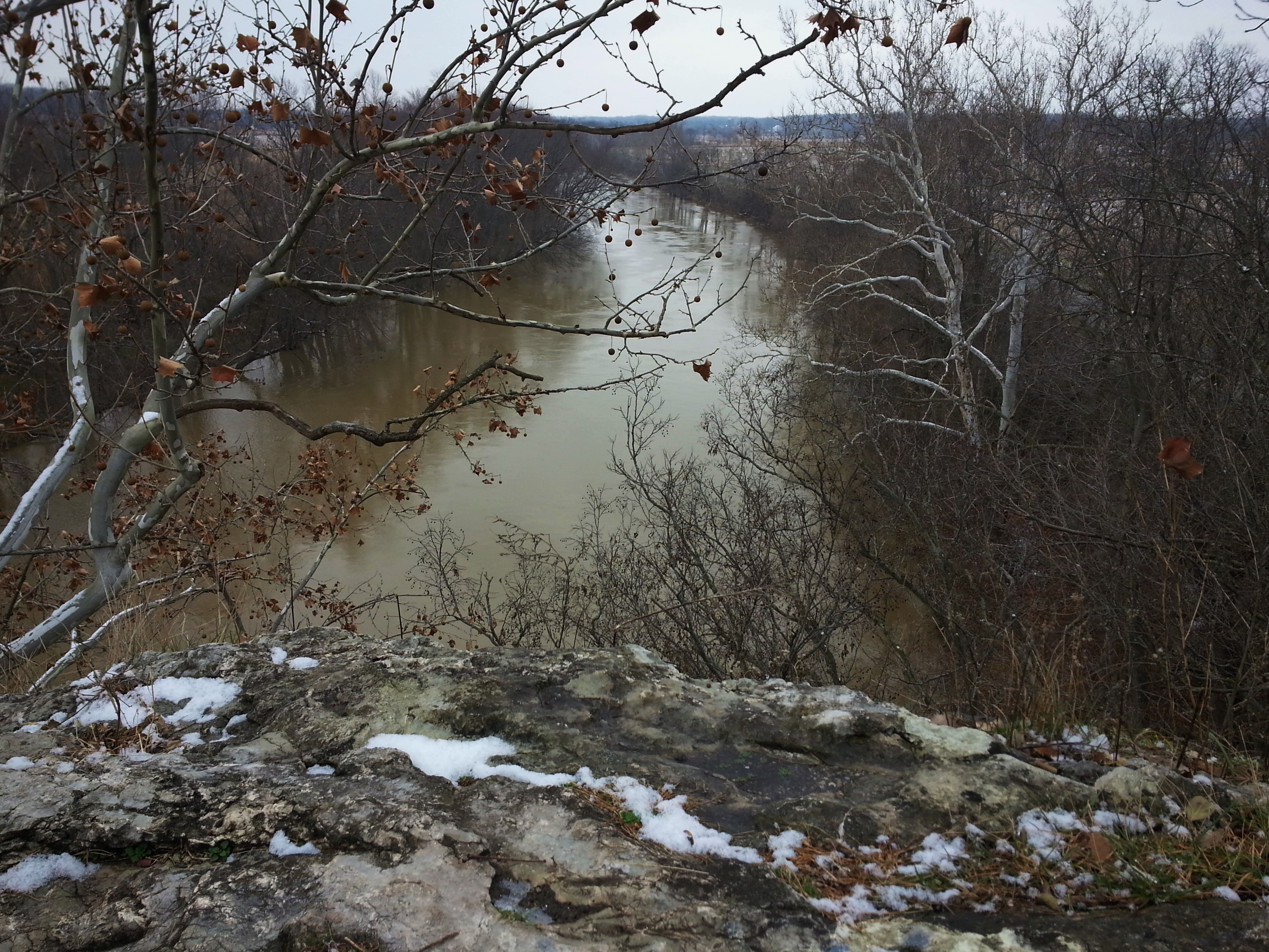
Hanging Rock National Natural Landmark

Hanging Rock National Natural Landmark
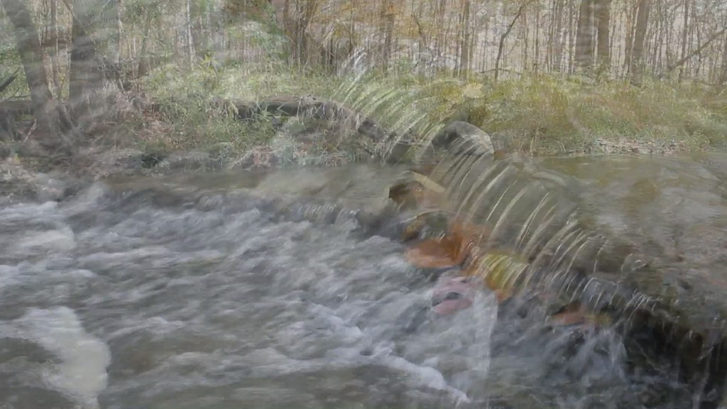
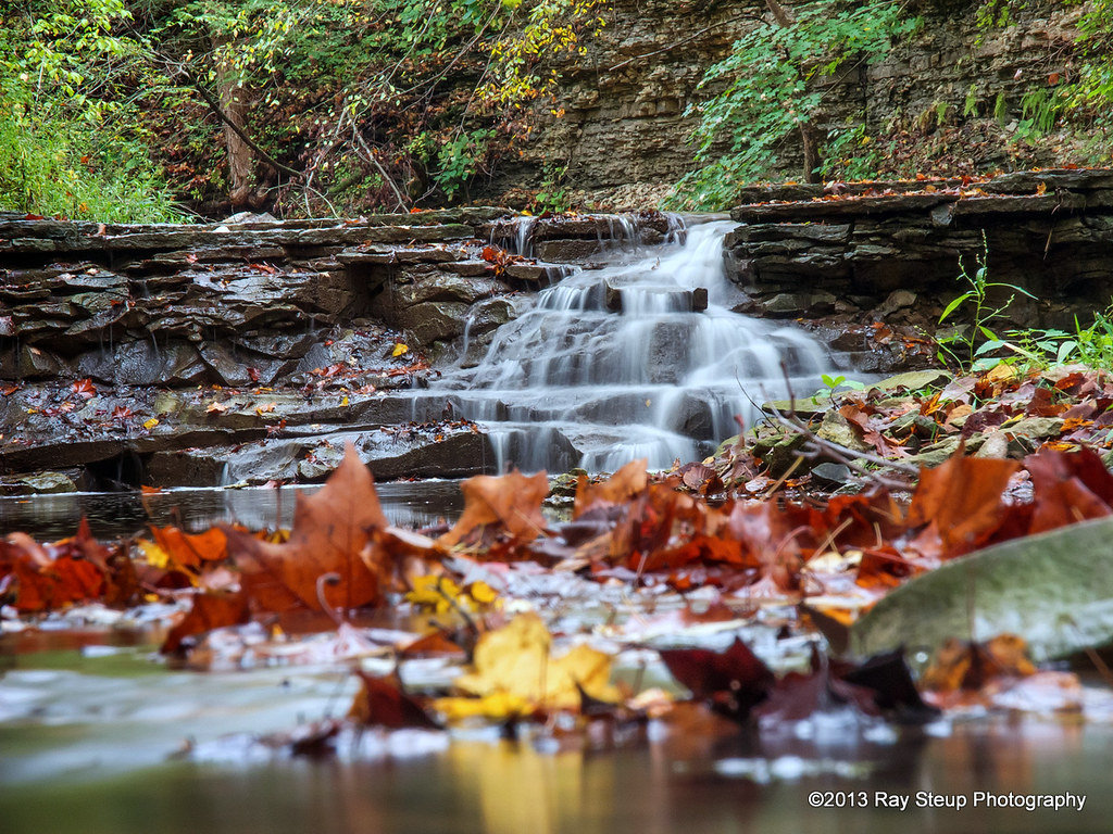
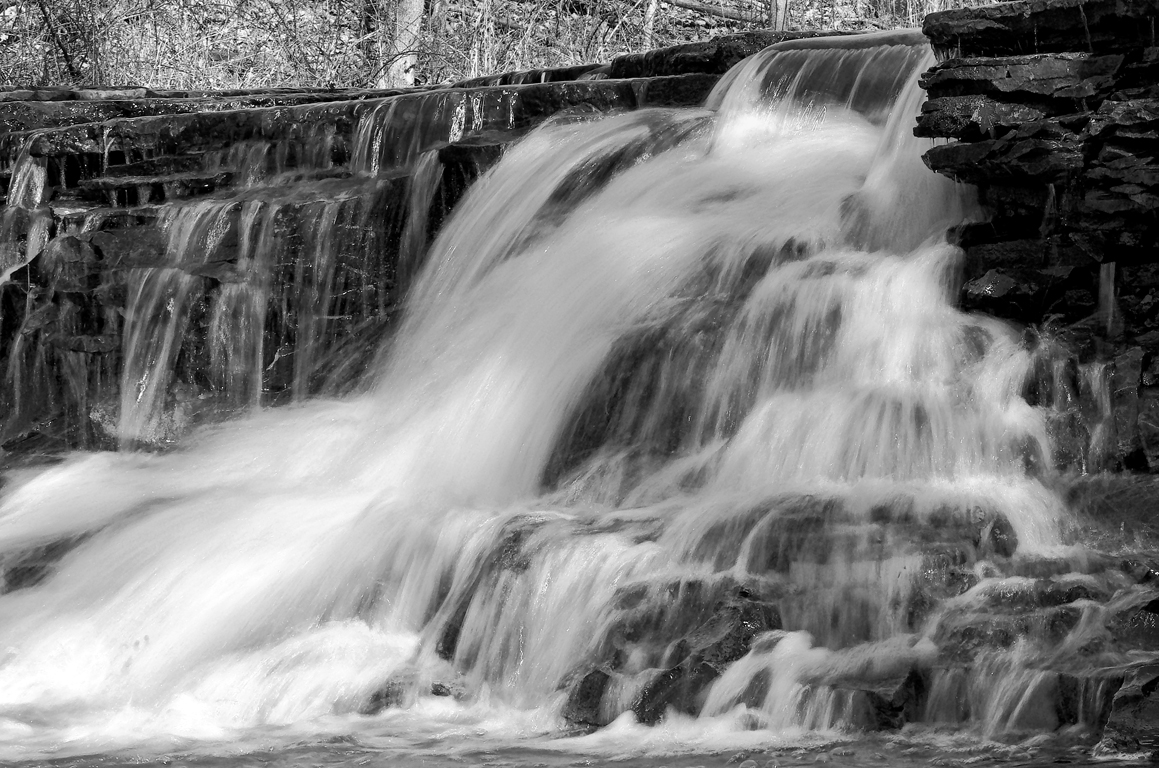
Kissing Falls - moving in close
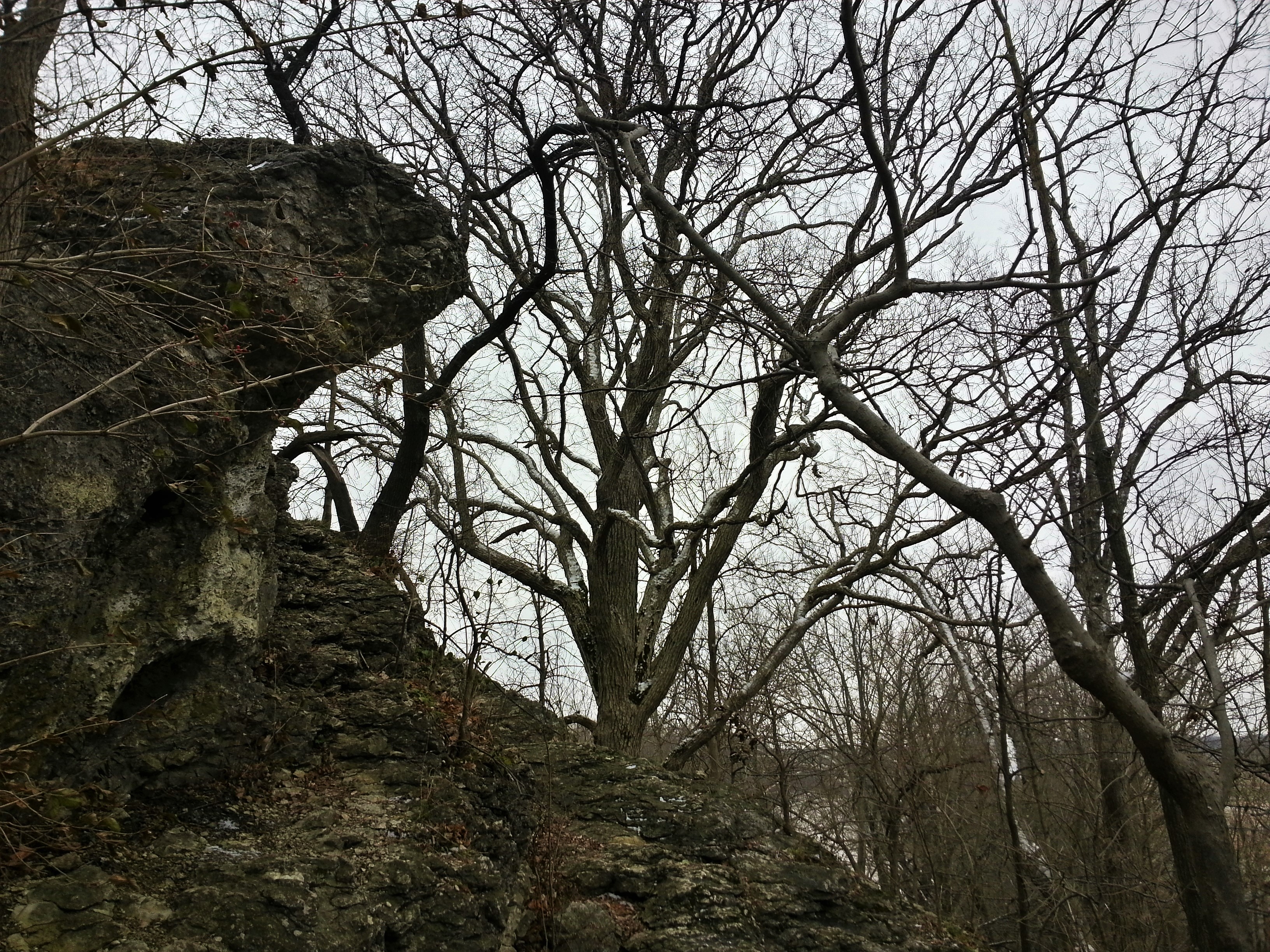
Hanging Rock National Natural Landmark
Off To Work

Daddy-Longlegs. (It's not a spider)

Good morning corn

Crop Duster

Orange Skys
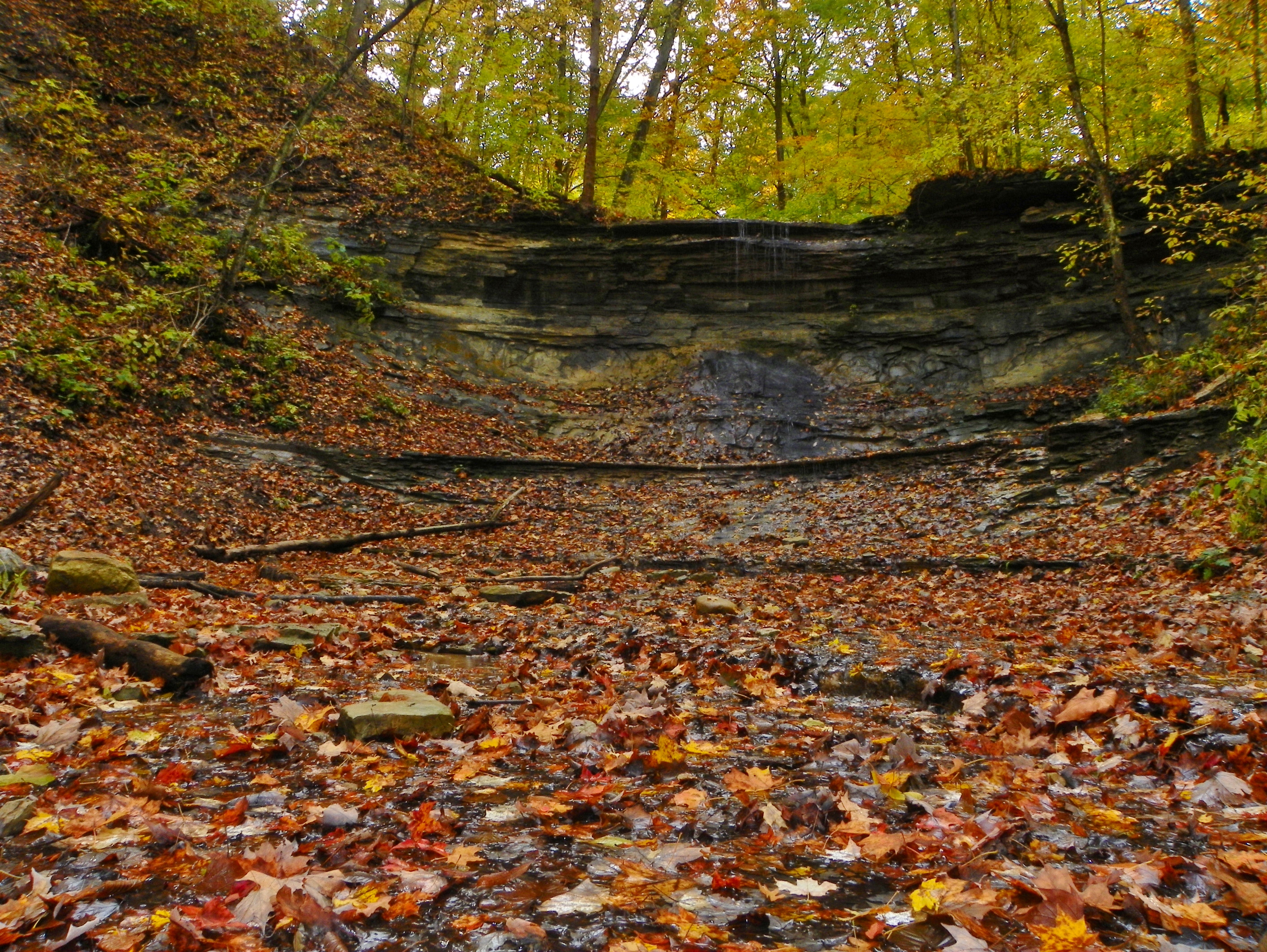
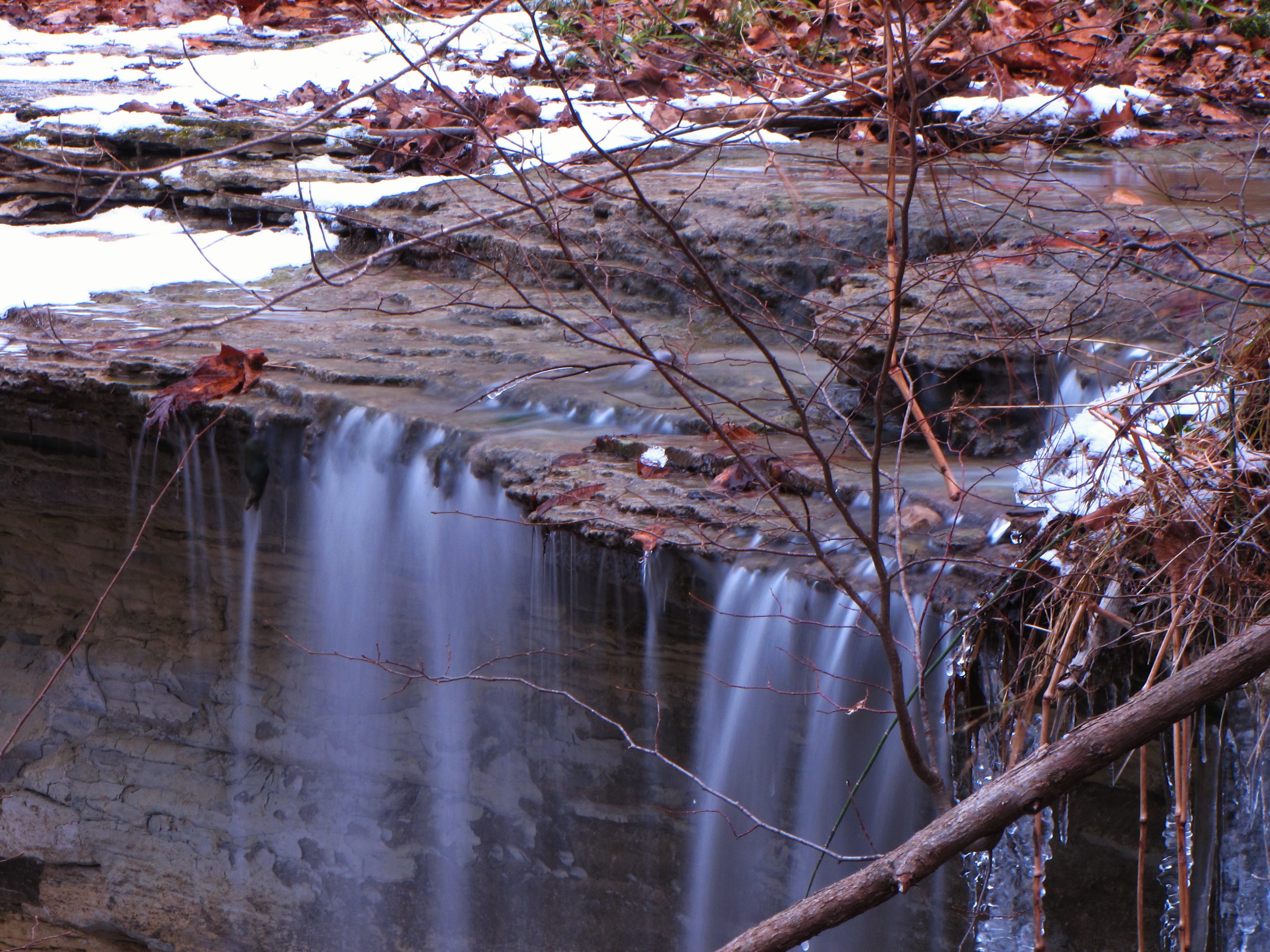
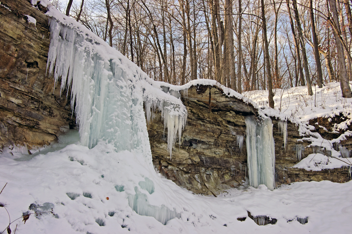
Hominy Ridge Falls
October 6, 2013 6:02P.M.

Barn near Wabash, IN
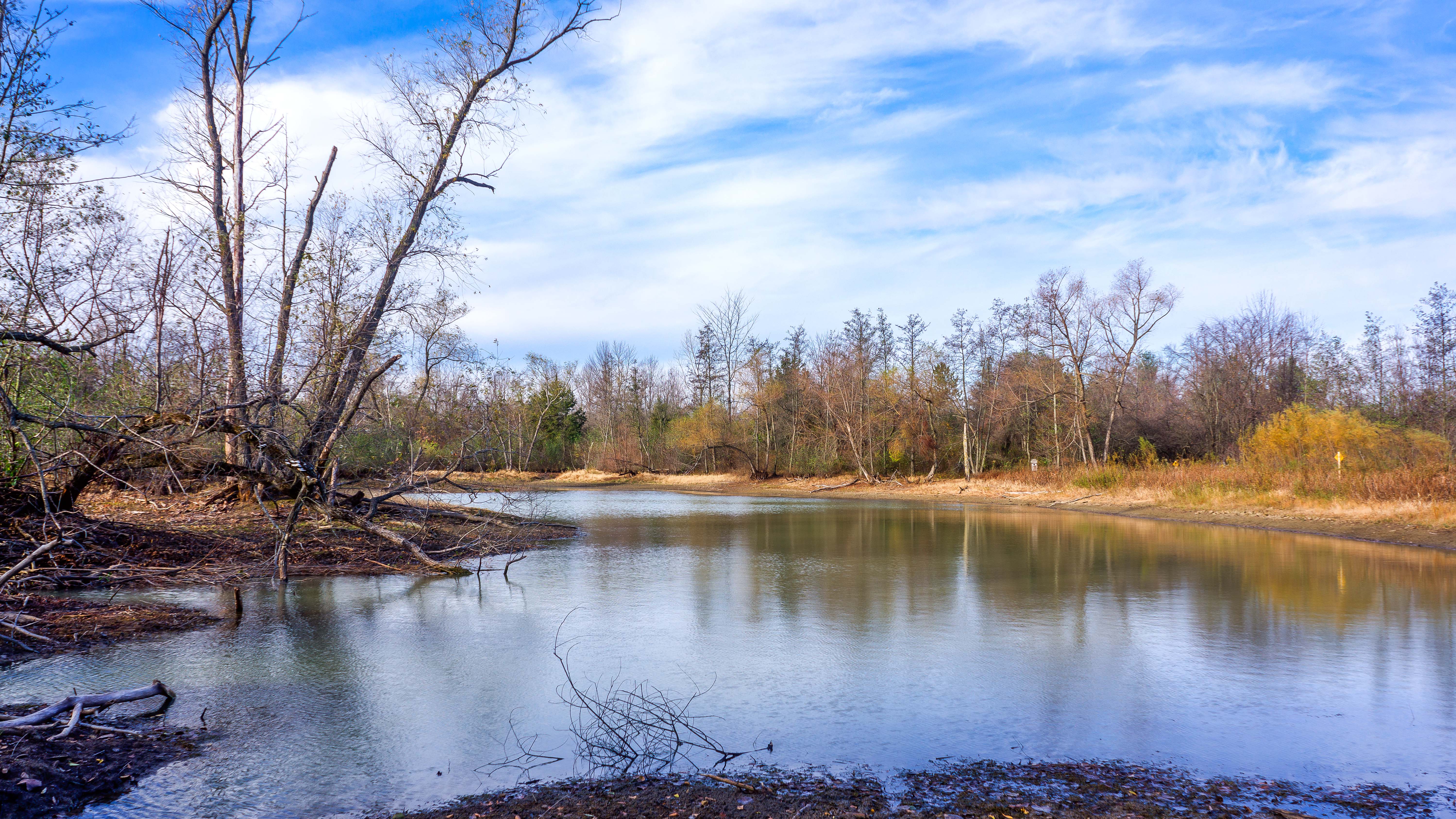
Salamonie Reservoir, Indiana

Main Trail Pano
Hominy Ridge Lake

Going UP
Salamonie Reservoir, IN
Salamonie State Forest(26)
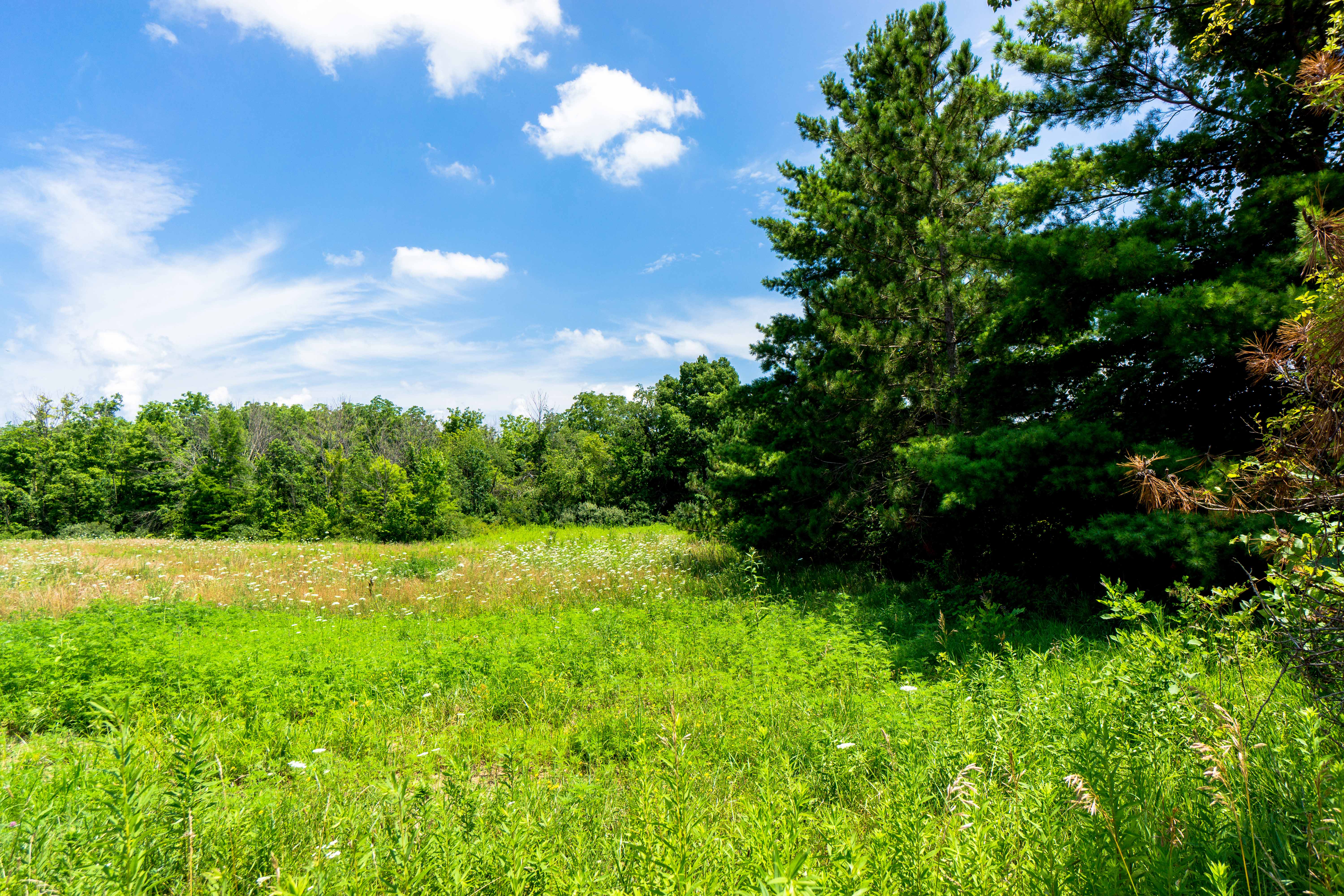
Acres Land Trust Preserve

Sleepy Hollow Trail
Salamonie Reservoir, Indiana
Salamonie Reservoir, Indiana
Hathaway Preserve at Ross Run

Rainbow and the Mist

Kissing Falls
Hominy Ridge
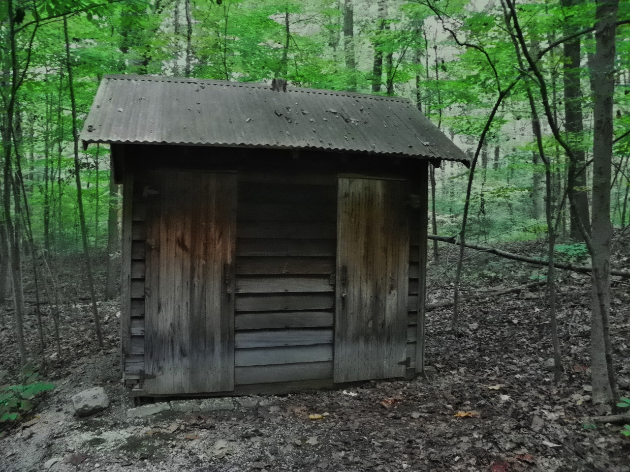
Outhouse, Kokiwanee Nature Preserve
Topographic Map of Lagro Township, IN, USA
Find elevation by address:

Places in Lagro Township, IN, USA:
Places near Lagro Township, IN, USA:
Dallas
N Main St, Andrews, IN, USA
Andrews
5730 E 800 N
8221 W 900 N
Warren Township
Chester Township
W Bracken Rd, Huntington, IN, USA
Huntington County
W Bracken Rd, Huntington, IN, USA
North Manchester
304 Damron Dr
405 Woodland Dr
Huntington
Cherry St, Huntington, IN, USA
10 2nd St, North Manchester, IN, USA
Huntington Township
N Goshen Rd, Huntington, IN, USA
Cleveland Township
Jackson Township
Recent Searches:
- Elevation of Corso Fratelli Cairoli, 35, Macerata MC, Italy
- Elevation of Tallevast Rd, Sarasota, FL, USA
- Elevation of 4th St E, Sonoma, CA, USA
- Elevation of Black Hollow Rd, Pennsdale, PA, USA
- Elevation of Oakland Ave, Williamsport, PA, USA
- Elevation of Pedrógão Grande, Portugal
- Elevation of Klee Dr, Martinsburg, WV, USA
- Elevation of Via Roma, Pieranica CR, Italy
- Elevation of Tavkvetili Mountain, Georgia
- Elevation of Hartfords Bluff Cir, Mt Pleasant, SC, USA