Elevation of Chester Township, IN, USA
Location: United States > Indiana > Wabash County >
Longitude: -85.725637
Latitude: 41.0006855
Elevation: 244m / 801feet
Barometric Pressure: 98KPa
Elevation Map:
Satellite Map:
Related Photos:
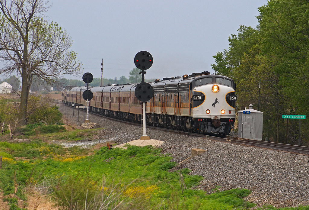
OCS - CP54 Speicherville

Manchester High School Gym

Barn near Wabash, IN

NS 365 - Packerton
Erie Signal
Hill & Dale
Knock me Down B/W
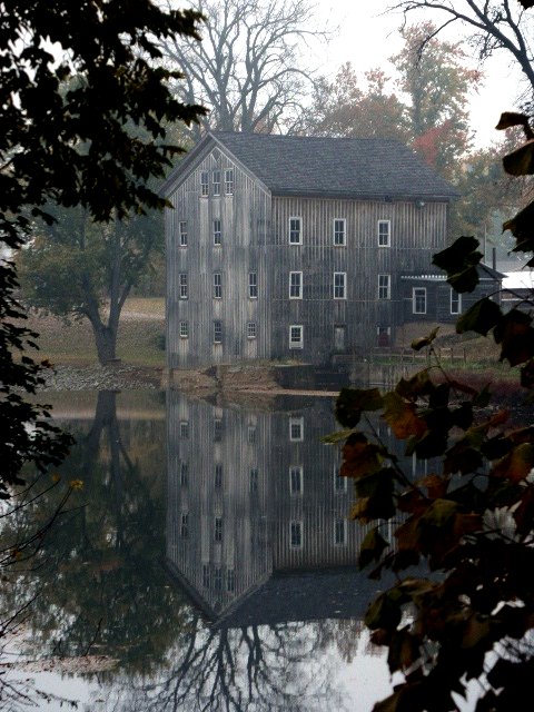
Grist Mill

Ole Grist Mill

Wild Flowers

Grist Mill 2

Abe Lincoln
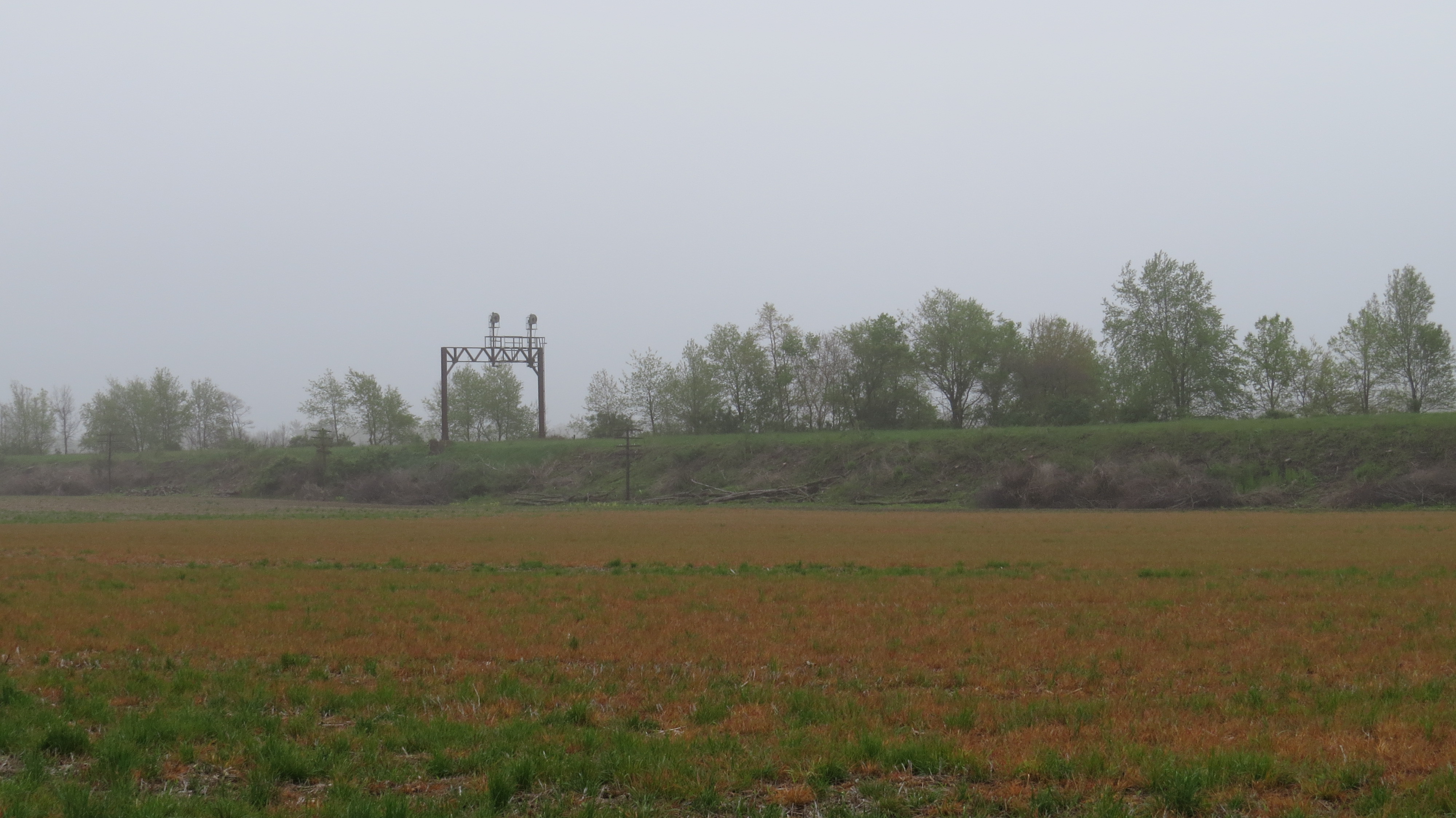
RX Interlocking - Laketon, IN

Sweet 60's
Topographic Map of Chester Township, IN, USA
Find elevation by address:

Places near Chester Township, IN, USA:
10 2nd St, North Manchester, IN, USA
405 Woodland Dr
304 Damron Dr
North Manchester
Jackson Township
S W, South Whitley, IN, USA
W Bracken Rd, Huntington, IN, USA
N Main St, Sidney, IN, USA
Sidney
Cleveland Township
Warren Township
8221 W 900 N
South Whitley
W Bracken Rd, Huntington, IN, USA
N Goshen Rd, Huntington, IN, USA
3147 County Rd 400 W
N W, Huntington, IN, USA
Clear Creek Township
Washington Township
Whitley County
Recent Searches:
- Elevation of Corso Fratelli Cairoli, 35, Macerata MC, Italy
- Elevation of Tallevast Rd, Sarasota, FL, USA
- Elevation of 4th St E, Sonoma, CA, USA
- Elevation of Black Hollow Rd, Pennsdale, PA, USA
- Elevation of Oakland Ave, Williamsport, PA, USA
- Elevation of Pedrógão Grande, Portugal
- Elevation of Klee Dr, Martinsburg, WV, USA
- Elevation of Via Roma, Pieranica CR, Italy
- Elevation of Tavkvetili Mountain, Georgia
- Elevation of Hartfords Bluff Cir, Mt Pleasant, SC, USA