Elevation of La Porte Rd, Brownsville, CA, USA

Location: United States > California > Yuba County > Challenge-brownsville > Brownsville >

Longitude: -121.27139

Latitude: 39.4733779

Elevation: 704m / 2310feet

Barometric Pressure: 93KPa

Elevation Map:

elevation map of La Porte Rd, Brownsville, CA, USA

Satellite Map:

Satellite map of La Porte Rd, Brownsville, CA, USA

Related Photos:

television tv trailer mobilehome oroleve
Home Away From Home
truck junkyard gmc atrophy clippermills
Truck 64
trillium frame flush wildflower challenge mountainhome flush4 flush2 flush9 flush7 flush8 flush3 flush6 flush10 flushedbydmu3 flush5
Alive She Cried
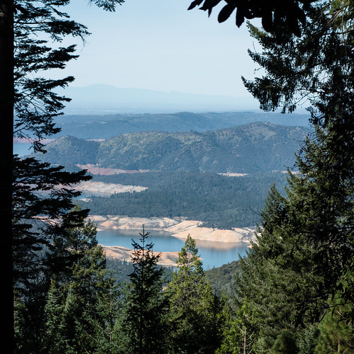
california mountain square outdoors photography view dailypic reservoir drought vista recreation dwr dailyphoto photooftheday oroville waterlevel buttecounty project365 lakeoroville photoadaychallenge forbestown buuckphotos buuckphotography
Day 611 [2/20/15]: Evaporation
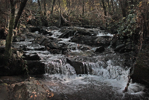
drycreek woods stream challenge
Tumbling Ice
square squareformat iphoneography instagramapp uploaded:by=instagram foursquare:venue=4c5caadd7735c9b6d20d8d72
Chilling with the family and enjoying the view as well as a great weekend.
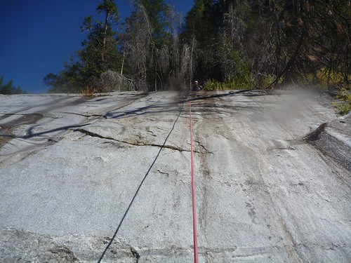
view up rope while on rappel
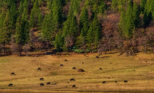
ranch winter northerncalifornia landscape cattle sierranevadafoothills ranchland yubacounty brownsvalley canon7d canon1585mmusmis lightroom4 topazsw brownsvilleca
Winter Grazing
camptonville california unitedstates us
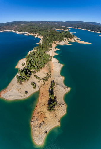
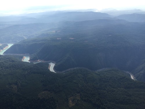
Bullards Bar Aerial Drone Panorama
camptonville california unitedstates us
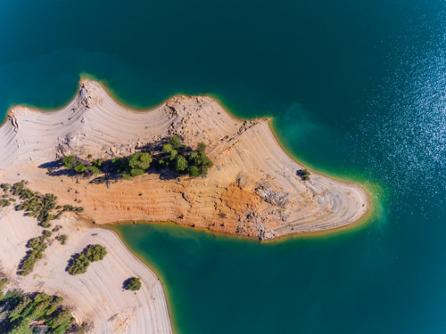
Bullards Bar Shoreline
lake reflection kayak bluesky reservoir norcal paddling borrowed yubacounty bullardsbar
Still Water
20170822 1043 pentax k-1 4069 105mm
featherfalls plumasnationalforest featherfallshike
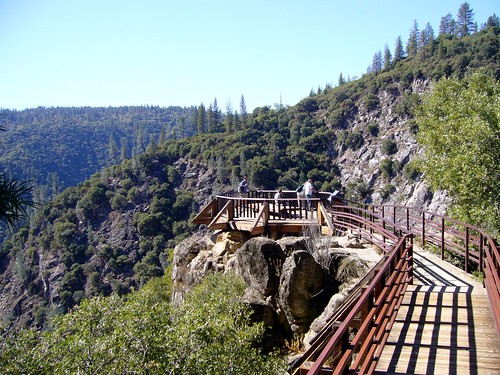
Feather Falls Overlook
california rainbow bridges oroville lakeoroville
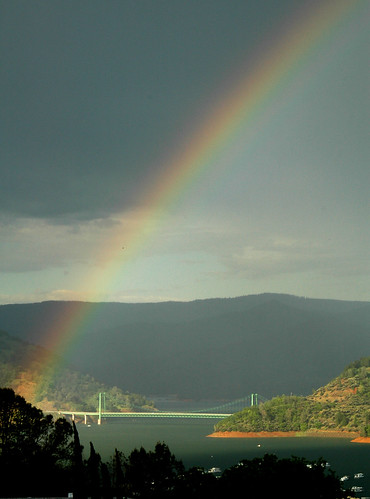
Rainbow over Lake Oroville
lake reflection kayak bluesky reservoir norcal paddling yubacounty bullardsbar
131' bank
Lake Oroville
waterfall drycreek dam cascade challenge mountainhome
Dry Creek Falls
california statepark travel summer foothills mountain lake news water northerncalifornia square landscape photography stones dailypic low photojournalism dry reservoir wanderlust hills adventure explore boulders drought granite record theme series recreation norcal dwr sierranevada dailyphoto photooftheday oroville weeklytheme swp waterlevel 2015 buttecounty middlefork drastic berrycreek newsworthy statewaterproject project365 lakeoroville staterecreationarea photoadaychallenge departmentofwaterresources 95966 vsco exposedshoreline tubline lakeorovillestaterecreationarea catastropic vscofilm buuckphotos buuckphotography shotonsonyrx100 200ftbelowfullcapacity
Day 800 [8-28-15]: Revegetate
Daniel, Sati, and Melody scrambling down canyon - Lower Log Ride
Flying a Cessna 172 from Torrance, CA to Quincy, CA - 7/1/15
blue sky lake reflection fall water kayak norcal paddling lowwater yubacounty bullardsbar
all to myself
california travel bridge blue summer panorama foothills mountain lake lines northerncalifornia architecture square landscape photography pattern unitedstates bright dailypic hill sunny symmetry reservoir wanderlust adventure explore drought infrastructure norcal railing dwr dailyphoto photooftheday oroville swp buttecounty greenbridge project365 bidwellbarbridge lakeoroville photoadaychallenge westcoastbestcoast californiastatewaterproject postcardsfromtheworld vscofilm outsideisfree buuckphotos buuckphotography liveauthentic vscofilm06 shotonnikond7000
Day 686 [5/6/15]: Windows on a Bridge
lake reflection kayak bluesky reservoir norcal paddling yubacounty bullardsbar
Days End
afsdxzoomnikkor1870mmf3545gifed
Feather Falls
summer lake water low stumps bullardsbar
Not enough
california sunset nature reflections landscape lakeoroville
Lake Oroville Sunset
california nature sunrise landscape bridges lakeoroville
Oroville Bridge In Fog