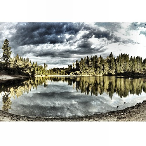
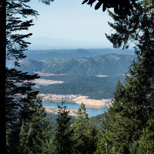
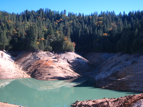
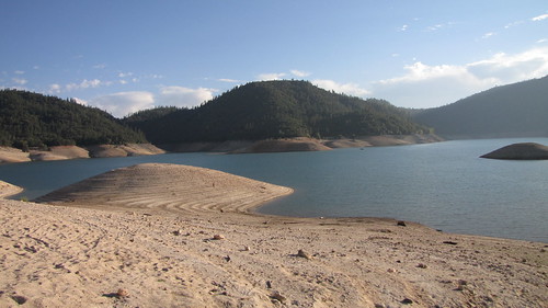
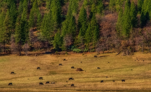
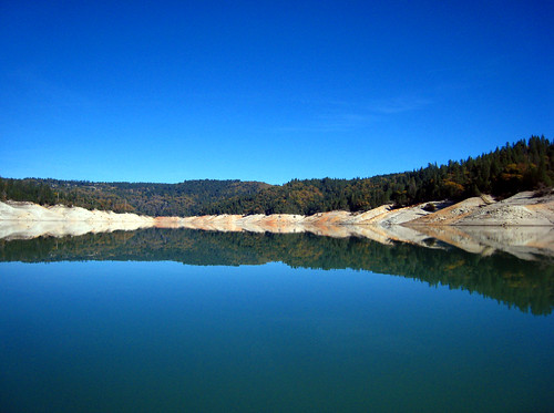
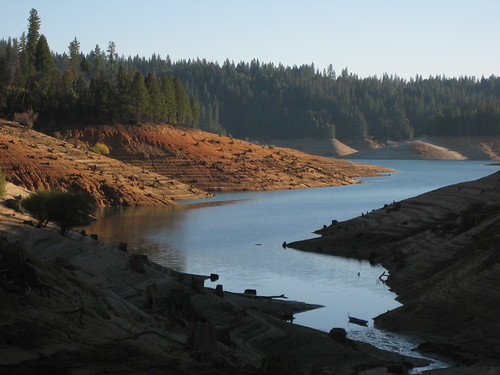
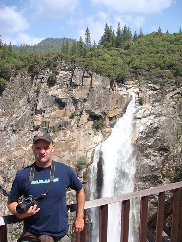
Elevation of Greenwell Ln, Brownsville, CA, USA
Location: United States > California > Yuba County > Challenge-brownsville > Brownsville >
Longitude: -121.28640
Latitude: 39.450067
Elevation: 635m / 2083feet
Barometric Pressure: 94KPa
Related Photos:
Topographic Map of Greenwell Ln, Brownsville, CA, USA
Find elevation by address:

Places near Greenwell Ln, Brownsville, CA, USA:
16710 Willow Glen Rd
8817 Double A Ranch Rd
16823 Willow Glen Rd
16779 Willow Glen Rd
16597 Frenchtown Rd
16593 New York House Rd
Challenge-brownsville
9059 La Porte Rd
Brownsville
La Porte Rd, Brownsville, CA, USA
16994 New York House Rd
17097 New York House Rd
17557 Abies Ln
La Porte Rd, Brownsville, CA, USA
9933 Forsythe Rd
Whispering Pines
Challenge
New York Flat Road
Buckeye Drive
10013 La Porte Rd
Recent Searches:
- Elevation of Corso Fratelli Cairoli, 35, Macerata MC, Italy
- Elevation of Tallevast Rd, Sarasota, FL, USA
- Elevation of 4th St E, Sonoma, CA, USA
- Elevation of Black Hollow Rd, Pennsdale, PA, USA
- Elevation of Oakland Ave, Williamsport, PA, USA
- Elevation of Pedrógão Grande, Portugal
- Elevation of Klee Dr, Martinsburg, WV, USA
- Elevation of Via Roma, Pieranica CR, Italy
- Elevation of Tavkvetili Mountain, Georgia
- Elevation of Hartfords Bluff Cir, Mt Pleasant, SC, USA
