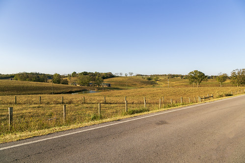
Elevation of KY-36, Owingsville, KY, USA

Location: United States > Kentucky > Owingsville >

Longitude: -83.815979

Latitude: 38.1883842

Elevation: 314m / 1030feet

Barometric Pressure: 98KPa

Elevation Map:

elevation map of KY-36, Owingsville, KY, USA

Satellite Map:

Satellite map of KY-36, Owingsville, KY, USA

Related Photos:

county usa marketing education farmers market ky business agriculture enterprise department act recovery agricultural nutrition barack agriculturedepartment reinvestment obamapresident 2009american usdaus agriculturerdrural developmentbathkentucky proudbath centerrural grantrbegowingsvilleamerican actarrapresident obamakyusaproducebeanbeetcucumberpotatotomatopeachcustomersenior programsfmnponion usdatile
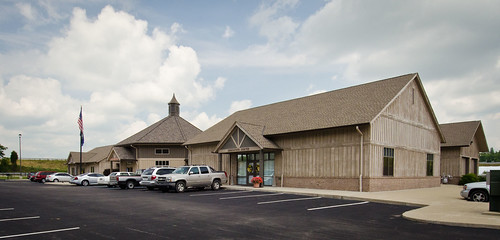
20110715-RD-LSC-0521
county usa marketing education farmers market ky business agriculture enterprise department act recovery agricultural nutrition barack agriculturedepartment reinvestment obamapresident 2009american usdaus agriculturerdrural developmentbathkentucky proudbath centerrural grantrbegowingsvilleamerican actarrapresident obamakyusaproducebeanbeetcucumberpotatotomatopeachcustomersenior programsfmnponion
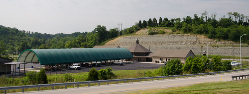
20110715-RD-LSC-0389
county usa marketing education farmers market ky business agriculture enterprise department act recovery agricultural nutrition barack agriculturedepartment reinvestment obamapresident 2009american usdaus agriculturerdrural developmentbathkentucky proudbath centerrural grantrbegowingsvilleamerican actarrapresident obamakyusaproducebeanbeetcucumberpotatotomatopeachcustomersenior programsfmnponion usdatile
20110715-RD-LSC-0323
kentucky tornados storms bathcounty stepstone ilovemypic straightwinds
Rolling Thunder
usa tomato bath ky cucumber peach bean potato customer produce onion beet rd usda departmentofagriculture usdepartmentofagriculture ruraldevelopment arra owingsville kentuckyproud presidentbarackobama presidentobama americanrecoveryandreinvestmentactof2009 americanrecoveryandreinvestmentact ruralbusinessenterprisegrant rbeg seniorfarmersmarketnutritionprogram bathcountyagriculturaleducationandmarketingcenter sfmnp
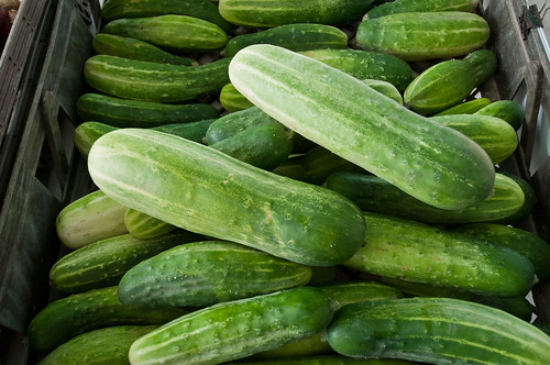
20110715-RD-LSC-0001
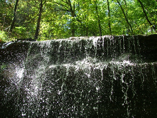
trees mountain water outdoors waterfall kentucky bathcounty stepstone owingsville
Fallin for You
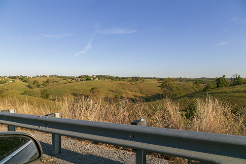
landscape hills farmland pasture scenic rolling topography valley hilltop trees fields grass bluegrass kentucky guardrail mirror owingsville bathcounty
Landscape — Owingsville Vicinity, Bath County, Kentucky
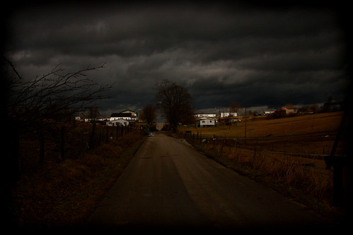
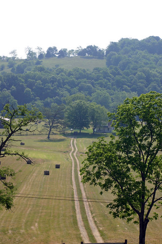
road path farm hay gravel elizabeths bathcounty
There is a crook in my path
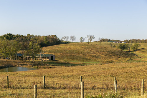
landscape fields pasture rural farmland hills bluegrass posts fences shed pond trees bathcounty kentucky owingsville
Landscape — Owingsville Vicinity, Bath County, Kentucky
landscape fields pasture rural farmland hills bluegrass posts fences shed pond trees bathcounty kentucky owingsville
Landscape — Owingsville Vicinity, Bath County, Kentucky
kentucky tornados storms bathcounty stepstone straightwinds
What used to be...
kentucky coveredbridge hdr
Grange City Bridge 1