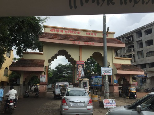
Elevation of Korochi, Maharashtra, India
Location: India > Maharashtra > Kolhapur >
Longitude: 74.4305792
Latitude: 16.7332909
Elevation: 581m / 1906feet
Barometric Pressure: 95KPa
Related Photos:
Topographic Map of Korochi, Maharashtra, India
Find elevation by address:

Places near Korochi, Maharashtra, India:
Mateen Fabrciators & Contractors
Hatkanangale
Shri Laxmi Co-op. Industrial Estate
Kolhapur - Sangli Highway
Tilawani
Shree Samarath Nagar
Industrial Estate
Kabnur
Radhakrishna Colony
Gaonbhag
Ganesh Nagar
Mangaonwadi
Tardal
Sarvoday Nagar
Karande Mala
Vikram Nagar
Torna Nagar
Alate
Khotwadi
Vrindavan Colony
Recent Searches:
- Elevation of Corso Fratelli Cairoli, 35, Macerata MC, Italy
- Elevation of Tallevast Rd, Sarasota, FL, USA
- Elevation of 4th St E, Sonoma, CA, USA
- Elevation of Black Hollow Rd, Pennsdale, PA, USA
- Elevation of Oakland Ave, Williamsport, PA, USA
- Elevation of Pedrógão Grande, Portugal
- Elevation of Klee Dr, Martinsburg, WV, USA
- Elevation of Via Roma, Pieranica CR, Italy
- Elevation of Tavkvetili Mountain, Georgia
- Elevation of Hartfords Bluff Cir, Mt Pleasant, SC, USA


