Elevation of Klein Münchhausen 1, Wangerland, Germany
Location: Germany > Lower Saxony > Wangerland >
Longitude: 7.83688
Latitude: 53.6494
Elevation: 0m / 0feet
Barometric Pressure: 101KPa
Elevation Map:
Satellite Map:
Related Photos:
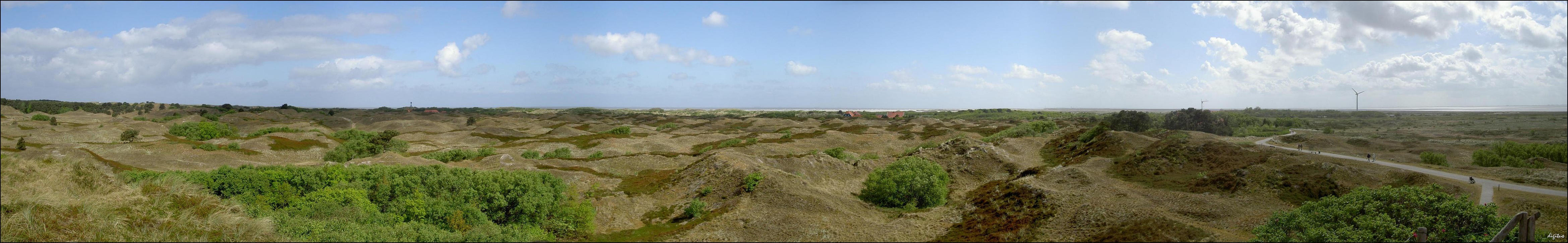
Spiekeroog-Panorama (Autostitch)

our beautiful world.......keep it !

Nordsee,Germany

today 31.10.2008 -- 16:58 h

Jever, View from the Castle

Pirates!
view from tha lighthouse 1
Café Störmhuus
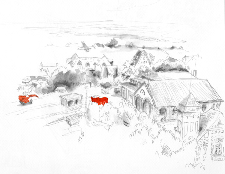
View from Inselvilla
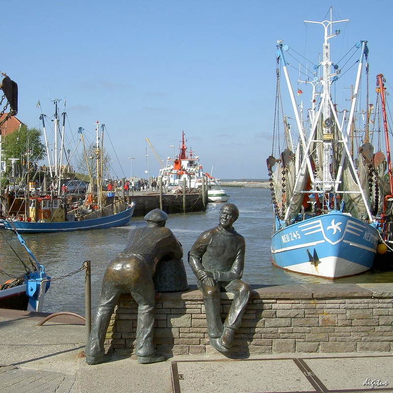
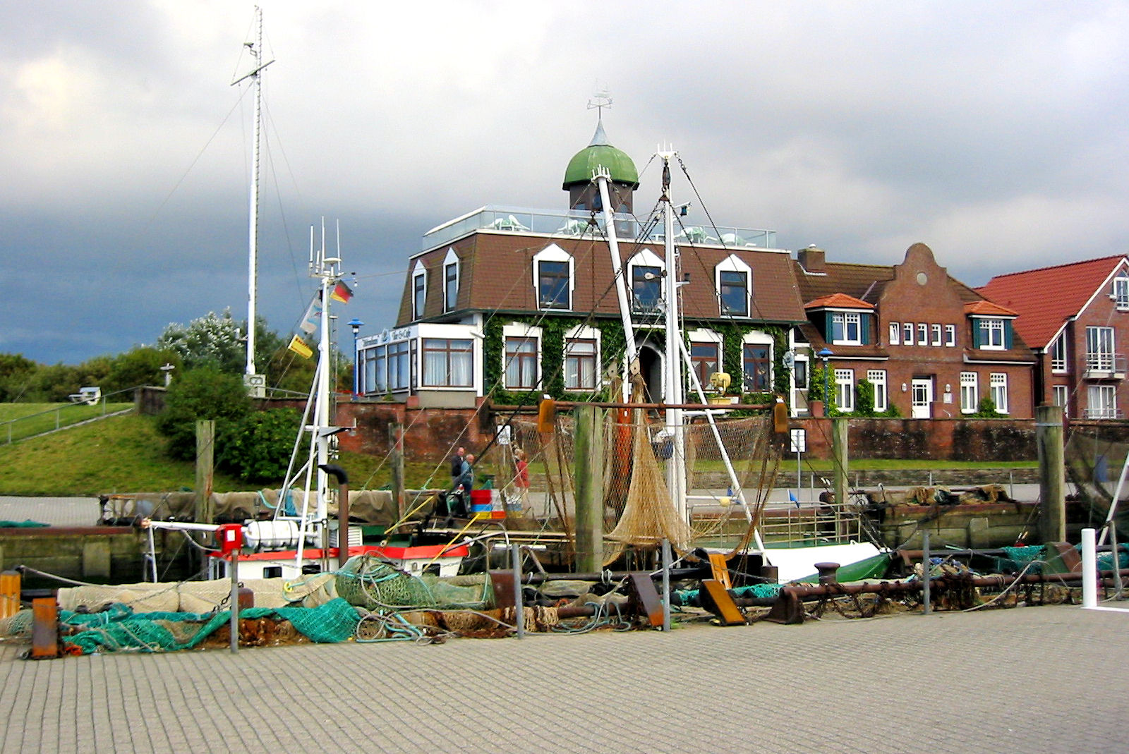
Neuharlingersiel: Hafen

Jever, View from the Castle
Backyard at high tide, Spiekeroog, summer 2015

View from the dike to the north
View from the dike over salt wetland to the south, Wangerooge
Sunset at Harlesiel
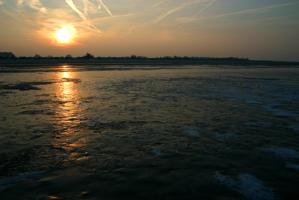
Frozen North Sea
Anywhere in East-Frisian
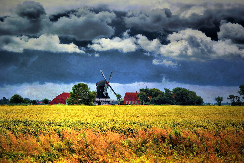
Friesische Landschaft

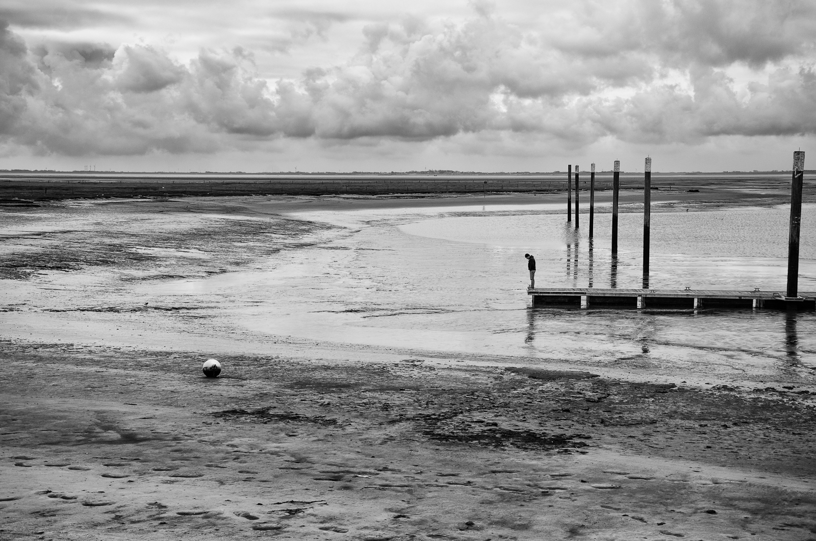
Der Einzelgänger
Too Shallow

Beach Hooksiel
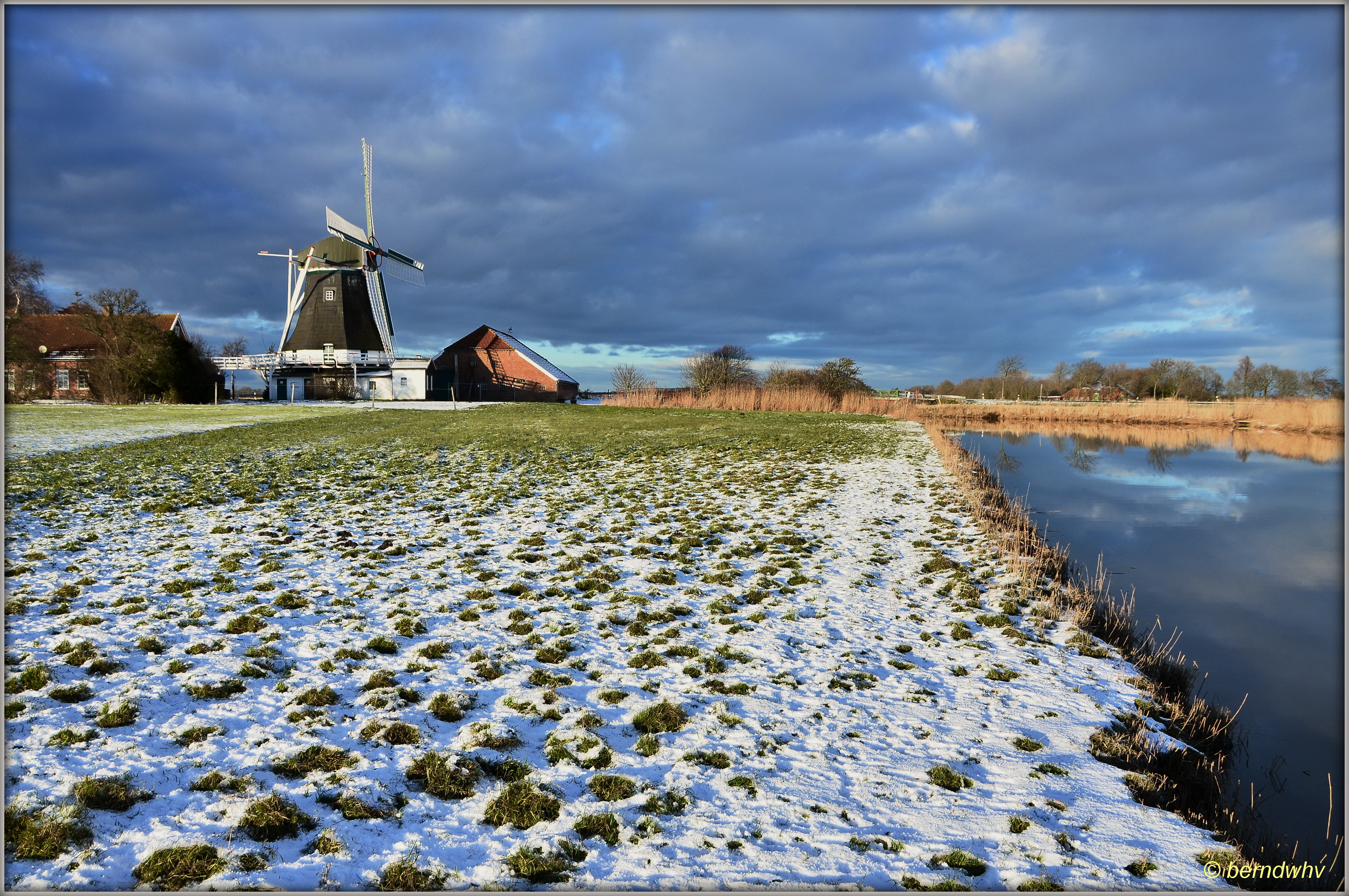
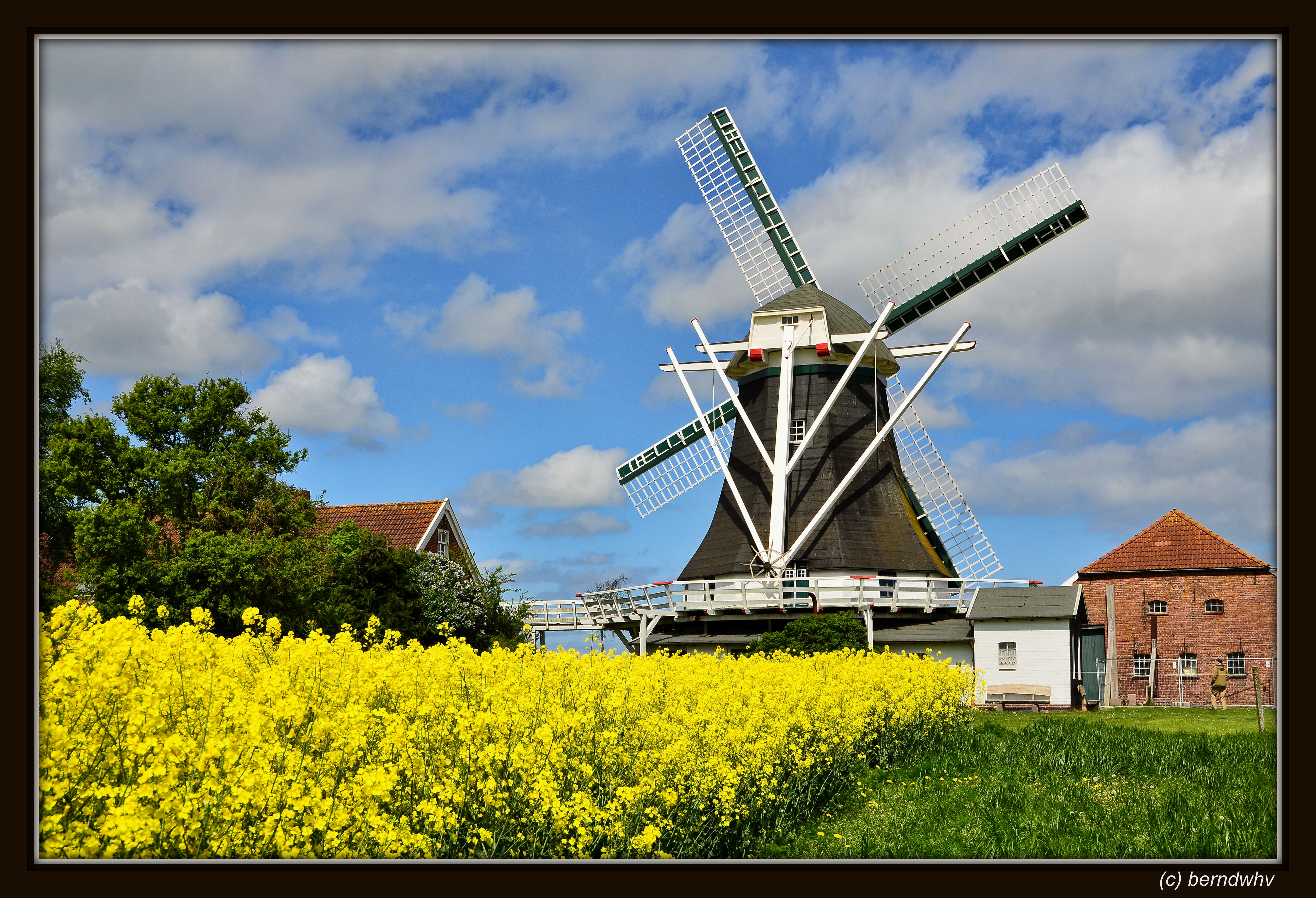
Deutschland / Niedersachsen / Landkreis Wittmund / Neuharlingersiel / Seriemer Mühle / Baujahr: 1804
Deutschland / Niedersachsen / Landkreis Wittmund / Neuharlingersiel / Seriemer Mühle / Baujahr: 1804
Vanishing Point (explored)
Mark in the mud • Sonnenuntergang in Hooksiel
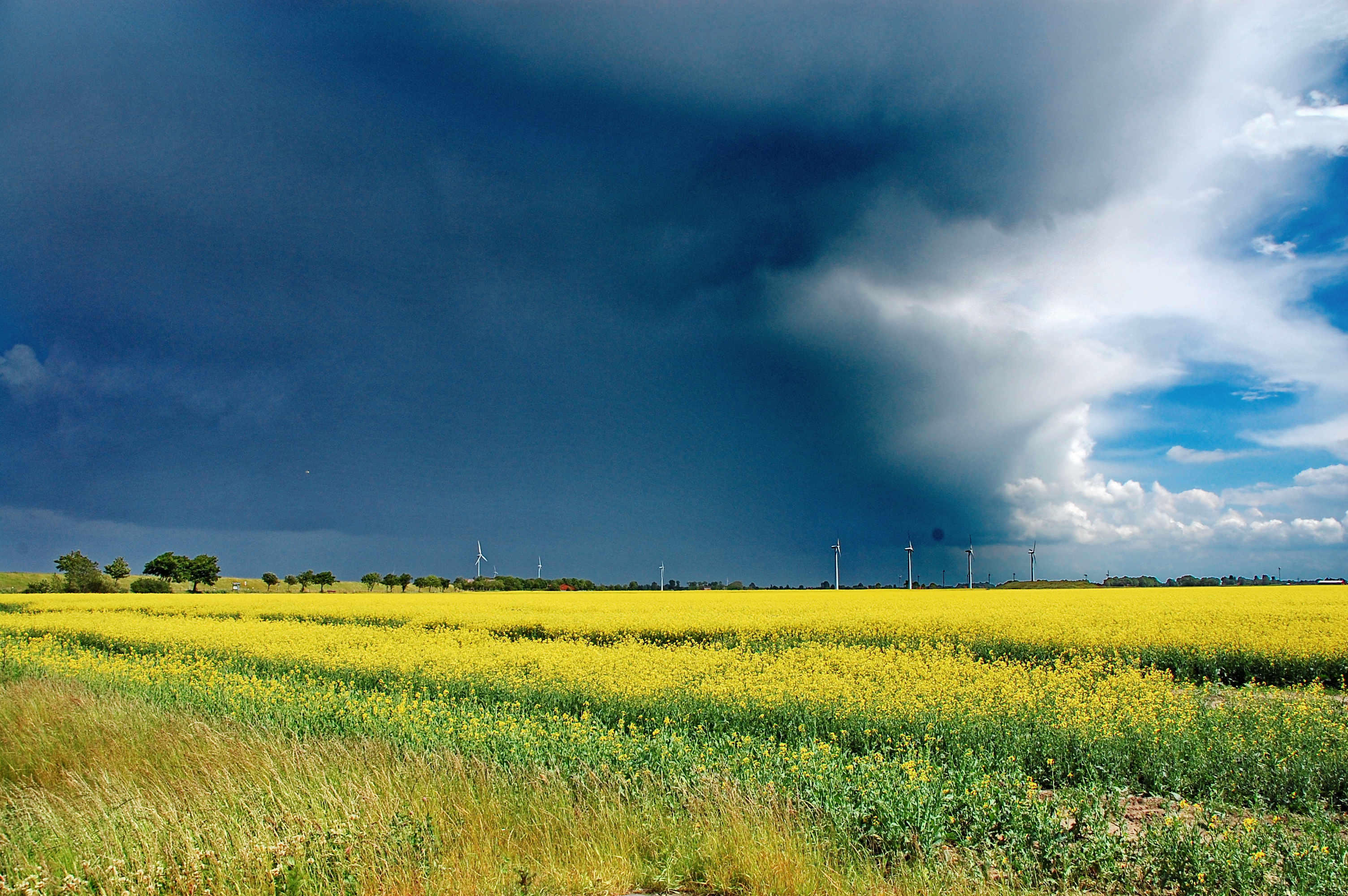
bedrohter Raps II
The Stage is Set
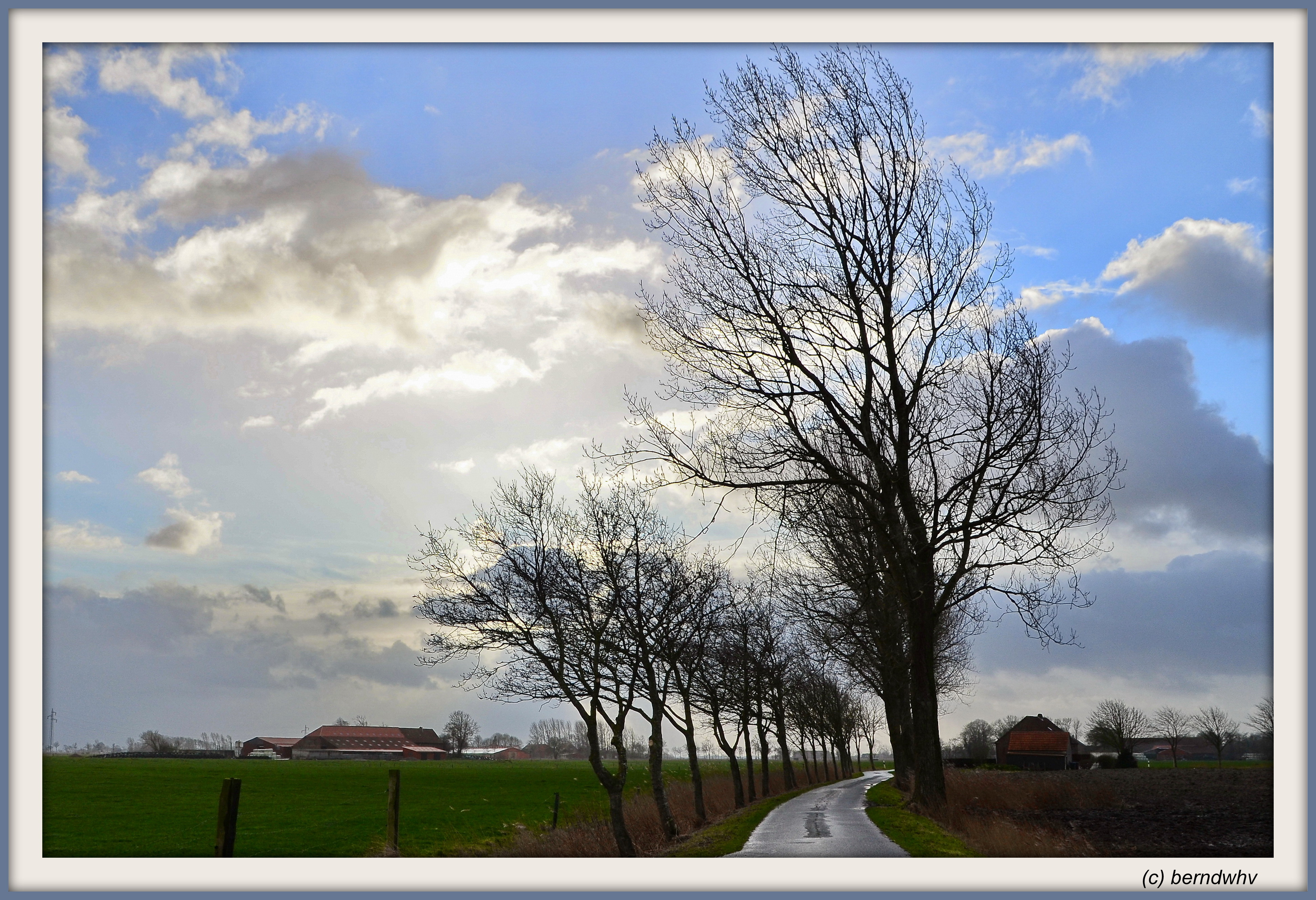
Auf dem Lande / Landkreis Friesland

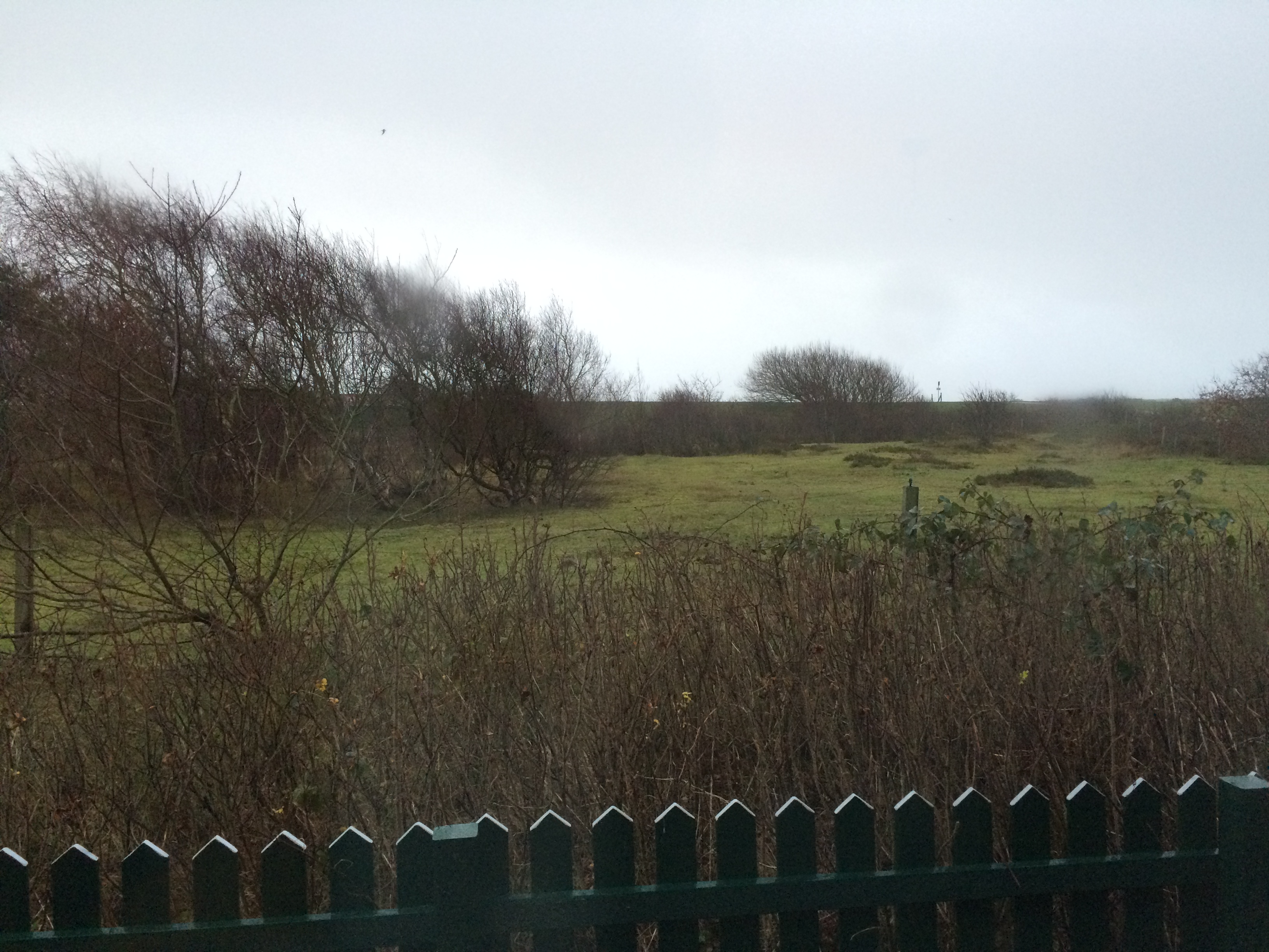
Dünenfuß
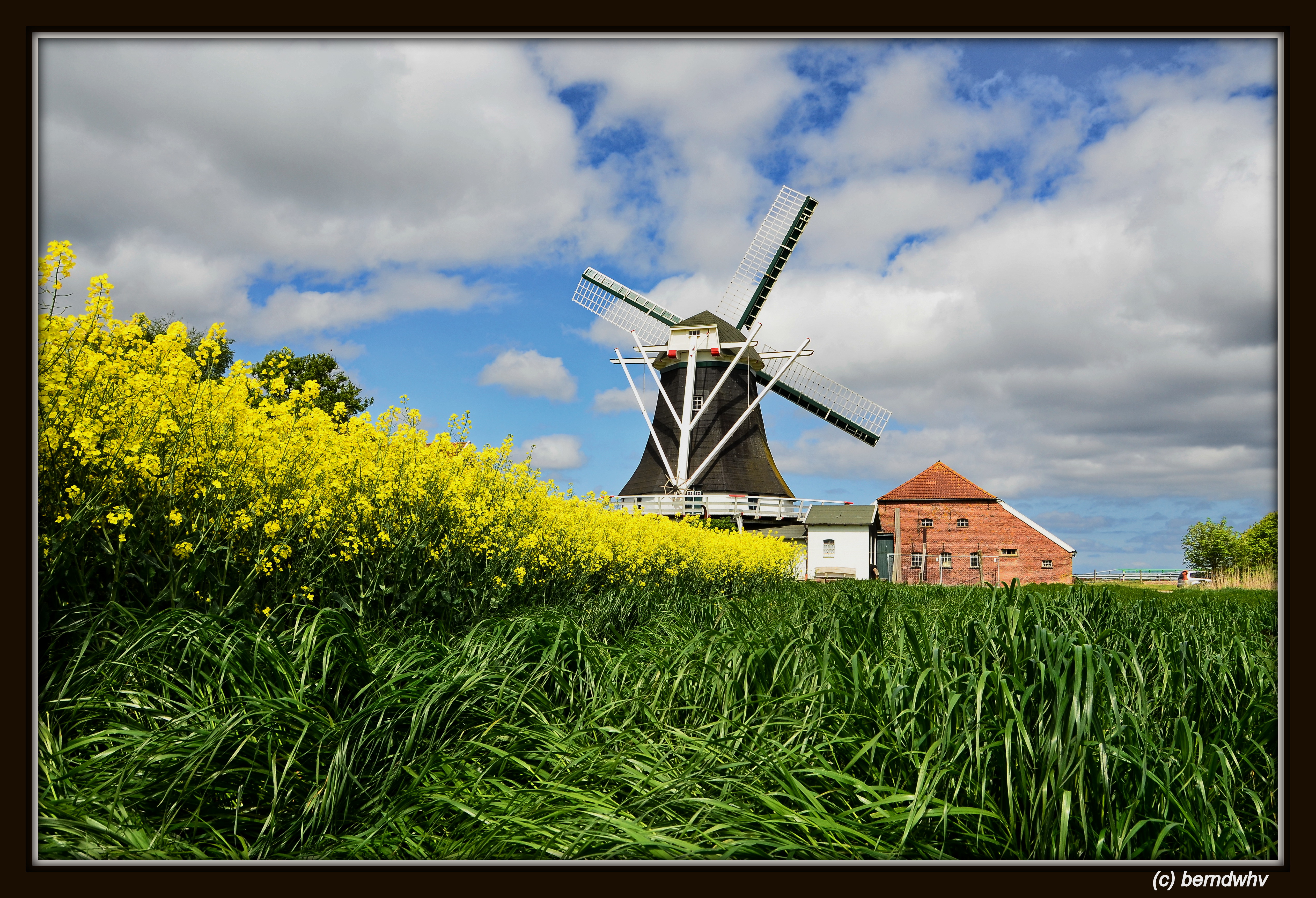
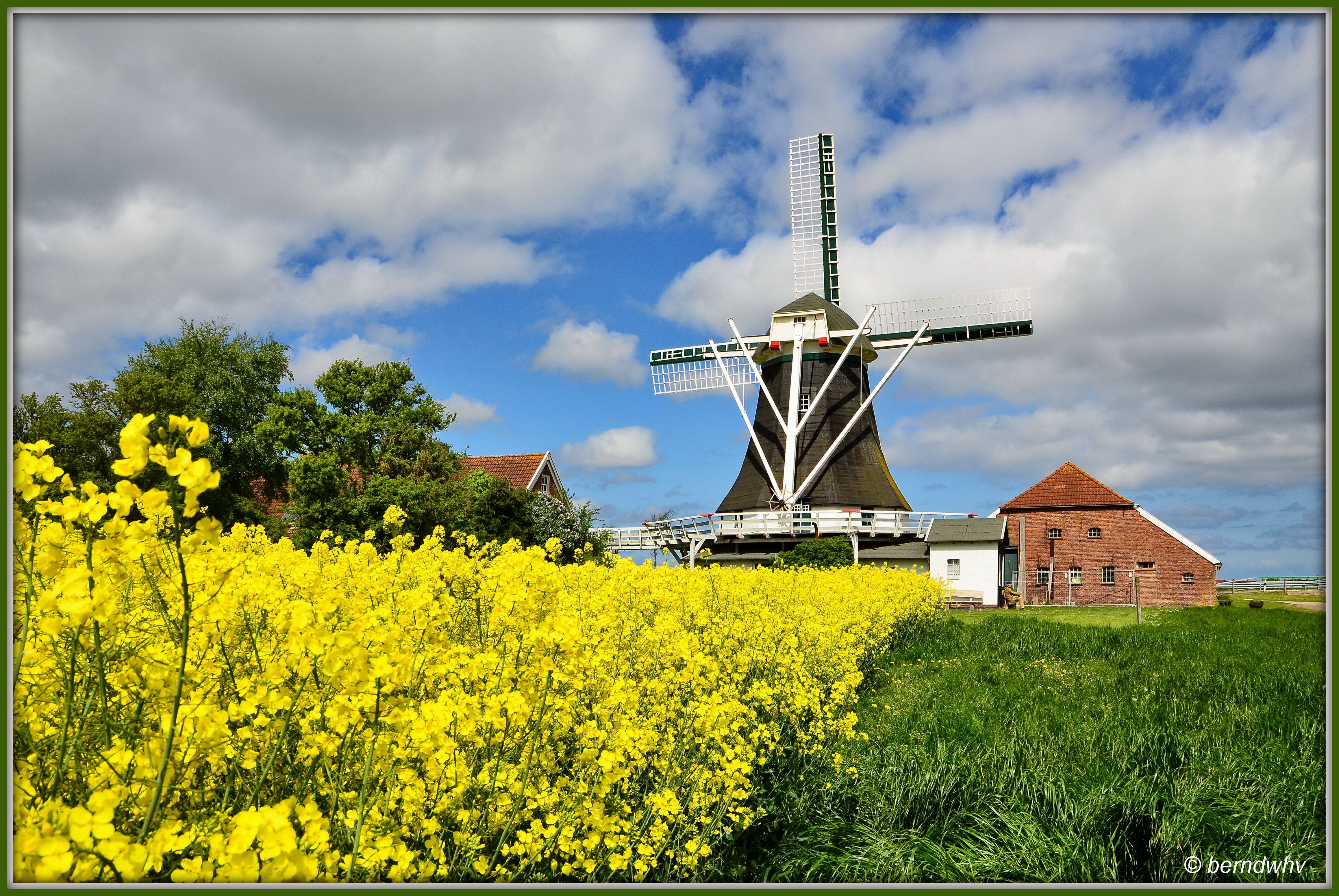
Deutschland / Niedersachsen / Landkreis Wittmund / Neuharlingersiel / Seriemer Mühle / Baujahr: 1804
Deutschland / Niedersachsen / Landkreis Wittmund / Neuharlingersiel / Seriemer Mühle / Baujahr: 1804

bedrohter Raps I
Erinnerungen an einen Sommer

Hafer in der Leechte

drohende Wolken am Deich
Topographic Map of Klein Münchhausen 1, Wangerland, Germany
Find elevation by address:

Places near Klein Münchhausen 1, Wangerland, Germany:
Sophiengroden 7, Wangerland, Germany
Schneiderei 1, Wangerland, Germany
Zum Schwimmbad 5, Wangerland, Germany
Tettens
Funnix
Funnix 36, Wittmund, Germany
Wangerland
Westrum 11, Wangerland, Germany
Westrum
Wittmund
Jever
Sandel
Dorfstraße 63, Jever, Germany
Upjever
Waddewarden
Hooksieler Str. 1, Wangerland, Germany
Jever Ab
Oestringfelde
Lebensborner Weg 41, Schortens, Germany
Wiedel 5, Schortens, Germany
Recent Searches:
- Elevation of Corso Fratelli Cairoli, 35, Macerata MC, Italy
- Elevation of Tallevast Rd, Sarasota, FL, USA
- Elevation of 4th St E, Sonoma, CA, USA
- Elevation of Black Hollow Rd, Pennsdale, PA, USA
- Elevation of Oakland Ave, Williamsport, PA, USA
- Elevation of Pedrógão Grande, Portugal
- Elevation of Klee Dr, Martinsburg, WV, USA
- Elevation of Via Roma, Pieranica CR, Italy
- Elevation of Tavkvetili Mountain, Georgia
- Elevation of Hartfords Bluff Cir, Mt Pleasant, SC, USA